
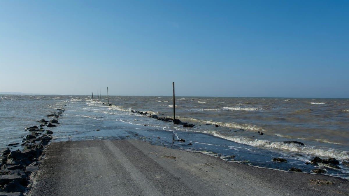
By dawn on October 22, harbors from Cape Cod to the Connecticut shore already carried the restless chop that arrives before a named storm. Meteorologists had spent the previous day tightening their language, and Storm Josephine New England briefings shifted from a distant satellite swirl to a practical problem of wind, tide, and timing. Sustained winds near 65 miles per hour, a wide belt of gale warnings, and a rising chance of coastal flooding put the Northeast and the mid Atlantic on alert. For people who live by the water, the question was not whether the ocean would misbehave. It was how far the water would climb, and which streets would take it.
A morning that felt familiar and still unsettled

October storms have a particular reputation along this coast. The summer crowds are gone, the light is thinner, and the Atlantic seems to remember that it can still rearrange a shoreline before winter settles in. Shopkeepers in fishing towns taped glass. Marina managers walked docks and checked lines twice. Commuters glanced at ferry schedules and decided, in some cases, that the train was the wiser bet.
None of that ritual made the morning ordinary. A subtropical storm sitting close enough to throw gales ashore is not a passing rain band. It is a system with a warm core aloft and a broad wind field that can shove water into bays even when the eye, such as it is, stays offshore. Residents who have watched enough autumn weather knew the difference between a wet day and a day when the tide chart matters more than the radar.
How forecasters described Josephine

The National Weather Service and local meteorologists described Subtropical Storm Josephine as a compact but energetic system, with maximum sustained winds around 65 miles per hour. Gale warnings covered long stretches of the Eastern Seaboard. Coastal flood advisories and warnings followed the tide cycle rather than the clock, which is how these events usually unfold. The hazard is not a single dramatic hour. It is the overlap of onshore wind, elevated seas, and a high tide that has nowhere easy to go.
Subtropical is a technical word that still confuses people who expect every named storm to look like a classic hurricane. The distinction matters for structure and for how the wind is arranged, but it does not make the shoreline safer. A system that fails the postcard test can still close roads, scatter boats, and push salt water into basements that sit only a few feet above a normal tide.
Wind as the first messenger

Before the water rose in any dramatic way, the wind announced itself. Gusts tore at awnings, rattled loose siding, and turned exposed causeways into places drivers treated with unusual care. In open harbors, whitecaps built early. Trees that still held leaves took more of the blow than bare winter woods would have, and utility crews watched the usual trouble spots: old lines near salt marshes, poles on ridges, and neighborhoods where one falling limb can darken a street.
Airlines and ferry operators trimmed schedules where gusts crossed operational limits. That is an unglamorous part of a storm day, and it is often the part that reaches people who never see the beach. A canceled boat, a delayed flight, a school that moves recess indoors: these are the small rearrangements that tell a region the forecast has left the screen and entered the schedule.
Where the water was most likely to misbehave

Coastal flooding risk concentrated in the usual vulnerable geography. Low lying roads behind barrier beaches, harbor fronts with seawalls built for a calmer century, and tidal rivers that back up when the wind blows straight into their mouths all sat on watch lists. Splash over was expected at exposed walls during the higher tides. In some towns, the concern was less a catastrophic inundation than a repeat of the familiar nuisance flood that still ruins cars, closes the only road to a peninsula, and leaves a film of salt in places salt does not belong.
Storm Josephine New England impacts were never going to be uniform. A shift of a few dozen miles in track, or a change in how long the onshore flow lasted, could spare one harbor and soak the next. That uncertainty is why local emergency managers spoke in ranges rather than promises. They asked people to respect barricades even when the street looked merely wet, because the next tide can turn a puddle into a current.
New England towns reading the tide chart
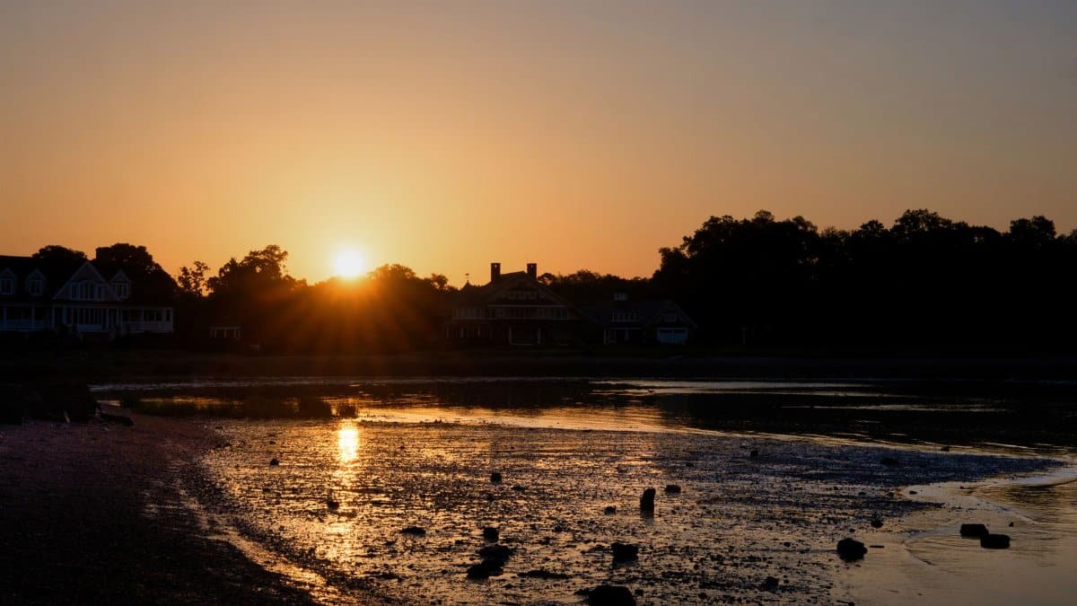
In Massachusetts, Rhode Island, and coastal Connecticut, the day organized itself around high tide. Fire departments staged pumps. Public works crews moved cones to the roads that flood first and stay flooded longest. Harbormasters urged boat owners to double lines and to stay off the docks once the wind made footing unreliable. On the outer Cape and along Buzzards Bay, people who have learned the personality of their particular inlet did not need a national map to know which parking lots would go under.
Farther north, in New Hampshire and along the Maine coast, the same system arrived as a wind and wave event more than a rain event for many communities. Rocky shores take a beating differently than sandy barrier islands. The danger there is often the sudden wave on an otherwise walkable ledge, or the float that breaks loose and becomes a battering ram in a narrow harbor. Storm Josephine New England coverage from local stations kept returning to those distinctions, because a regional headline cannot describe every cove.
The mid Atlantic share of the same system

Josephine did not belong only to New England. Gale warnings and coastal flood concerns extended through the mid Atlantic, where the same broad wind field pressed water into bays and against barrier islands. Long Island, the New Jersey shore, and stretches of the Delaware and Chesapeake systems all had reason to watch the tide. A subtropical storm does not need to make landfall to rearrange a beach or to close a coastal road for an afternoon.
That shared exposure is easy to miss when each city tells the story from its own waterfront. The Eastern Seaboard is one continuous edge. When a storm parks its strongest winds offshore and aims them at the coast, the effects travel. What looks like a New England story at noon can still be a Delmarva story by evening, or the reverse, depending on how the low drifts.
Why October still surprises people

Hurricane season does not end when the tourists leave. The official season runs through November, and the historical record is full of October systems that found a weakness in a coastline that had already relaxed. Some of those storms were famous. Most were not. They were the ones that flooded a downtown for six hours, took out power on a peninsula, and then slid away, leaving a cleanup that never made the national recap.
Josephine fit that quieter category more than the catastrophic one, at least in the forecasts issued as the day began. Moderate is not the same as minor. A storm that stays below the threshold of disaster can still be the most expensive day of the year for a marina, a clam flat, or a neighborhood whose storm drains were built for a lower sea. People who dismiss anything short of a hurricane often learn that lesson on a street that looked fine at breakfast.
What officials asked, and what they could not promise
The requests from emergency managers were plain. Stay off jetties. Do not drive through floodwater. Secure loose outdoor objects. Check on neighbors who rely on electric medical equipment if outages spread. Move vehicles out of lots that flood on a king tide even in fair weather. These are not dramatic instructions, which is why they are sometimes ignored until a video of a stranded car circulates.
Officials also declined to pretend that every outcome was knowable by midmorning. Coastal flooding depends on timing. If the strongest onshore winds coincide with high tide, the water goes farther. If the wind eases an hour early, a town can escape with wet pavement and a story. Storm Josephine New England forecasts kept that caveat in view, which is the honest way to talk about a moving low and a moving tide at once.
The human scale of a gale day
Away from the microphones, the day looked like errands rearranged. A nurse left earlier to avoid a flooded shortcut. A restaurant near a harbor boarded the lower windows and hoped the lunch crowd would still come from inland. Parents refreshed school messages. Fishermen who could not work stood in groups and argued, with the easy bitterness of people who know the water, about whether the blow would lay down by night.
There is a tendency, in national coverage, to treat a regional storm as scenery. For the people inside it, the scenery has a cost. Lost shifts, spoiled inventory, a boat that needs a haul out, a basement pump that fails at the worst hour. Those costs rarely add up to a single stunning number. They add up anyway, town by town, in the week after the wind drops.
Power, trees, and the inland edge
Not every impact stayed on the sand. Gusty winds reached inland suburbs where the flooding risk was low and the outage risk was not. October foliage still on the trees gives the wind more to push against. Crews from utilities across the Northeast have learned to pre stage in those corridors, because restoring power after a coastal gale is often a tree job as much as an electrical one.
Inland residents sometimes assume a storm named for the ocean is none of their concern. The wind field disagrees. A system organized enough to warrant gale warnings on the water usually has something to say to the ridges a few dozen miles back. That is another reason Storm Josephine New England planning extended beyond the immediate shoreline, into school districts and town halls that do not own a single mooring.
After the peak, the water does not forget at once

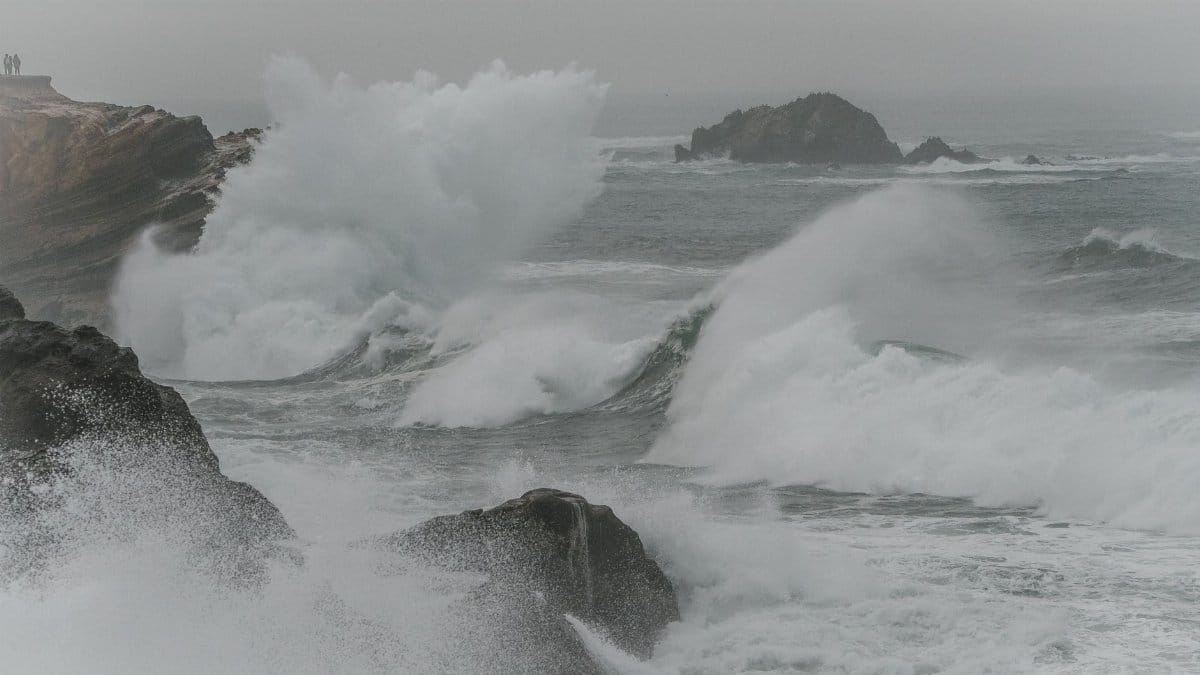
Even when the center of a subtropical storm begins to pull away, the sea state lingers. Swells keep arriving. Beaches that looked stable at low tide can scar at the next high water. Rocks and debris shift. The all clear for a harbor is not the same as the all clear for a swimmer or a sightseer who wants a dramatic photo on a jetty. Local officials tend to keep those closures up longer than visitors expect, and they are usually right.
Cleanup, where flooding did occur, is slower than the forecast cycle. Salt water in a roadbed, a culvert packed with wrack, a float that ended up in the wrong creek: these are Tuesday problems created by a Thursday storm. The region has practice. Practice does not make the work free.
Reading the day without exaggeration

It is possible to take Josephine seriously without turning it into mythology. A subtropical storm with winds near 65 miles per hour, gale warnings along a long coast, and a credible coastal flood risk is a real event. It is also not, by the morning guidance, a historic catastrophe. Journalism serves readers poorly when it either shrugs or shouts. The accurate register is closer to attention: watch the tide, respect the wind, and understand that the Eastern Seaboard absorbs these blows more often than the headlines suggest.
Storm Josephine New England was, on October 22, a test of that attention. The satellite image will fade. The streets that flood, the harbors that hold, and the people who decided whether to move the car will remember the day in more practical terms. Weather, at that scale, is not an abstraction. It is the difference between a road you can use and a road the ocean has borrowed for a few hours.