
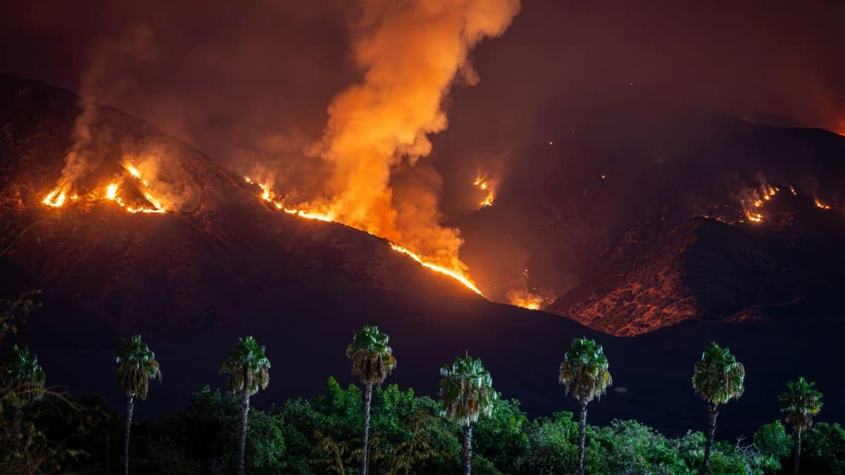
Rain returned to the coastal basins and inland valleys, darkening soil that had looked pale for months and sending people to windows to watch water move down streets that usually carry dust. The phrase Southern California rain fire captures the uneasy pairing now on many minds: moisture on the ground, and the memory of flames on the ridges. A soaking can green the hills and slow grass fires for a time. It does not, by itself, close the season. Dry brush in the canyons, dead timber on the slopes, and winds that arrive from the desert still set the terms. Forecasters and fire officials are treating the rain as a pause, not a verdict. The relief is real. The conclusion that danger has ended is not.
A green hill is not a safe hill
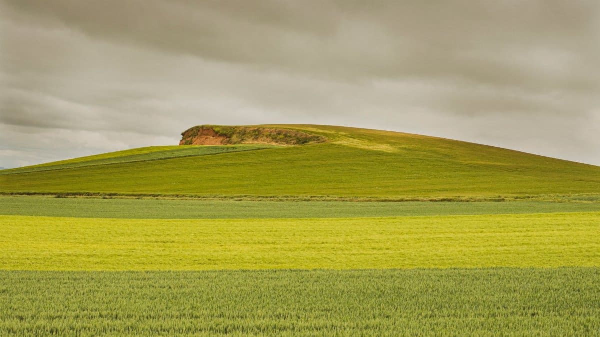
Recent rain wets the fine fuels first. Grasses and the leafy litter on the surface take up water quickly, which can reduce the chance that a spark becomes a running fire in the hours and days after a storm. Larger fuels tell a different story. Branches, logs, and the dense chaparral that covers so much of the region can stay dry inside even when the outside looks damp. The landscape changes color before it changes character.
In that gap, the idea of a Southern California rain fire risk remains useful rather than contradictory. Rain and fire are not opposites on a simple switch. They share a calendar. A wet spell can lower danger for grass fires and still leave timber and brush ready if winds rise and humidity falls. Color on a slope is a clue, not a clearance.
What a single storm can and cannot do
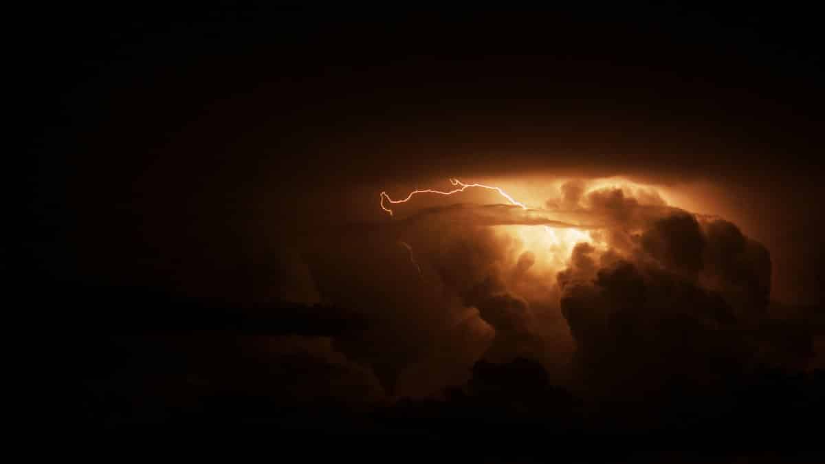
A storm that drops an inch or two across the basins is welcome. It settles dust, fills small reservoirs a little, and gives gardeners a reason to delay irrigation. It does not refill the deep moisture deficit that builds across several dry years, nor does it erase the dead material left by earlier heat, insects, and drought stress. Short wet periods can sit inside longer dry patterns. The public memory of rain is vivid because rain is rare enough to notice. The public memory of dryness is quieter because dryness is the usual condition for much of the year in this climate.
The federal drought monitoring partnership explains this kind of mismatch in plain public updates. A week of storms can improve topsoil while longer indicators, including reservoir storage and multi month precipitation deficits, move more slowly. Readers who want that wider frame can consult Drought.gov, which tracks conditions beyond the latest radar loop. The point for fire season is modest and important: gratitude for rain should not be confused with a reset of the year.
The fuels fire crews actually measure
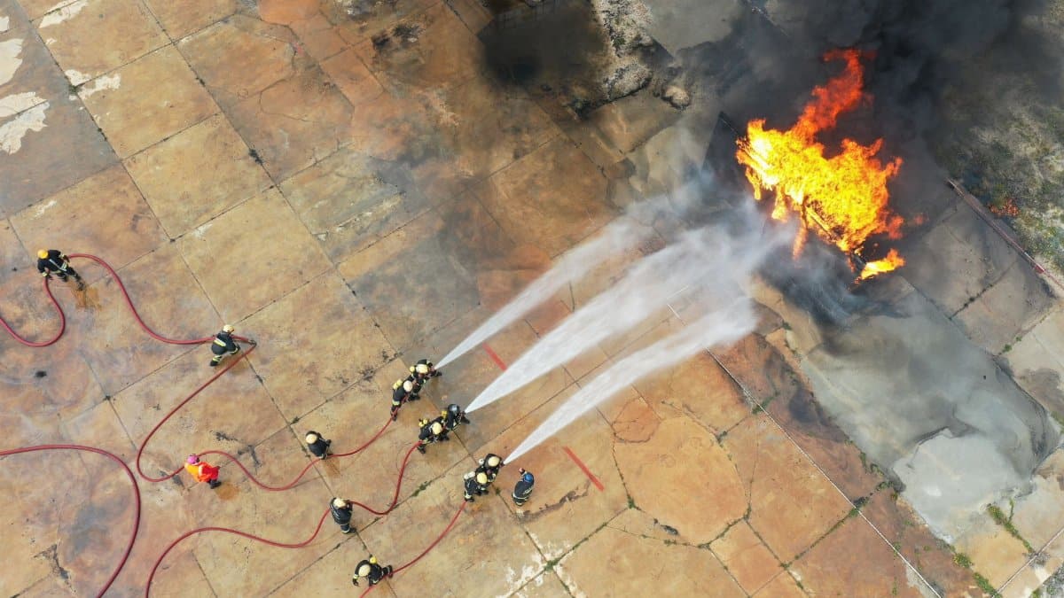
Cal Fire and local departments do not declare a season over because streets are shiny. They look at live fuel moisture, dead fuel moisture, recent precipitation, and the forecast for wind and humidity. Live fuel moisture is the water held inside growing plants. When it is high, many shrubs resist ignition. When it drops, those same shrubs can carry flame with startling speed. Dead fuels are judged by how long they take to respond to weather, from fine grasses that change in hours to large logs that change over weeks.
That is why a pretty storm day and a dangerous fire day can be separated by less time than residents expect. Sun, wind, and low humidity pull moisture back out of the small fuels first. The agency treats wildfire as a standing public safety issue rather than a brief summer event, a posture described across its public materials at fire.ca.gov. Households that wait for an official announcement that the season is finished will wait a long time. The operational question is narrower: how dry are the fuels that would actually burn this week?
Rain on old burn scars
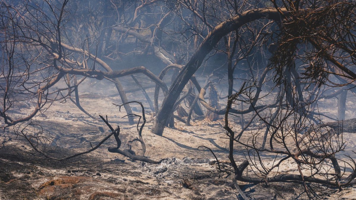
Rain brings a second hazard that has little to do with new ignitions and much to do with old ones. Hillsides stripped by earlier fires shed soil more easily. Water runs off instead of soaking in, and mud, rock, and debris can move into streets and channels. The National Weather Service watches these burn scars closely after storms and may issue flood or debris flow warnings even when the rain looks modest on a gauge downtown.
Residents below recent fire footprints should treat a wet forecast as a reason to know their routes, not only as a reason to relax about flames. The same week can hold both a lower grass fire threat and a higher flash flood threat. That dual reading is part of living with this terrain. Forecast offices publish those warnings in ordinary language, and the place to start is weather.gov, not a screenshot passed along without a time stamp. A storm that soothes one fear can sharpen another.
Winds still set the dangerous days
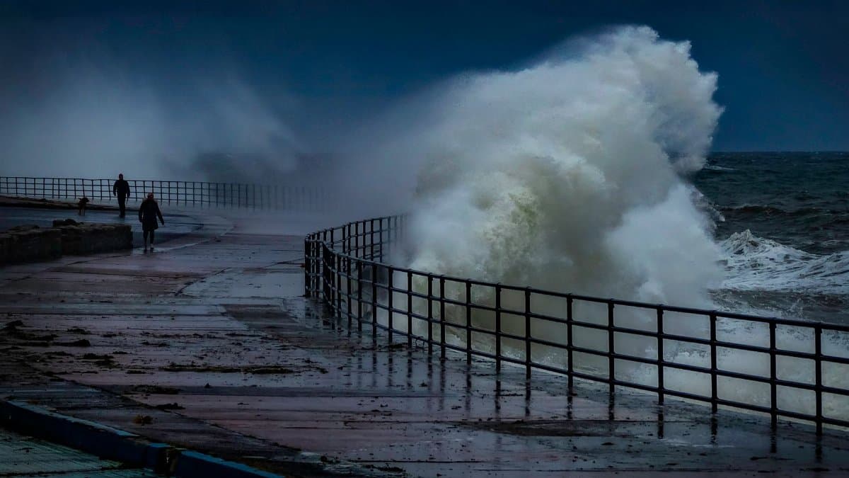
Santa Ana winds remain the feature that turns a manageable fire day into a regional emergency. They arrive from the interior, descend, warm, and dry, and they align with canyons in ways that push flame toward neighborhoods. A recent rain does not cancel the next wind event. If several dry days follow the storm, fine fuels can cure again, and the advantage of the wetting shrinks. The history of large fires in this part of the state is, in large part, a history of wind meeting dry fuel, not a history of one missed storm.
Meteorologists describe these winds in public forecasts that households can actually use. A red flag warning is not atmosphere. It is a statement that humidity, wind, and fuel are lining up. People who track only rainfall totals will miss the day that matters. People who track wind, humidity, and how many dry days have passed since the last soaking will see it coming. In that sense the Southern California rain fire problem is a sequencing problem: what happened, how long ago, and what the air will do next.
Cities and canyons do not share one forecast

A downtown block and a ridge road can experience the same storm and then live through different weeks. In the city, the concerns are drains, standing water, and commute delays. On the edge of the wildland, the concerns are ember cast, narrow exits, and brush that dries from the top down. Television coverage often films the wettest intersection because that is where the cameras already are. The risk that defines the season often sits farther up the slope, where fewer people are watching the ground.
This split explains a familiar argument at kitchen tables. One person remembers the rain and feels finished with worry. Another remembers the canyon behind the house and does not. Both can be responding to real evidence. The error is treating one neighborhood’s puddles as a regional all clear. Fire agencies draw their maps around fuels and wind corridors, not around the blocks that looked greenest on a Monday morning.
How to read the next forecast without false comfort
A useful habit is to separate three questions. Did it rain enough to wet the grasses? Has enough time passed, with low humidity and sun, for those grasses to dry? Is wind in the forecast? If the first answer is yes and the second and third are no, the near term danger for many neighborhoods is lower. If wind is coming and humidity is falling, the rain of last week is already old news. Local alert systems should carry the warning. Fragments on social media should not.
Ready, Set, Go guidance from fire agencies remains the clearest household frame: prepare before the red flag day, leave early when told, and do not wait to see flame from the porch. That guidance does not become obsolete because the yard is damp. It becomes timely again the moment fuels and wind realign. Clearing debris from roofs and gutters, knowing two ways out, and keeping a go bag where it can actually be grabbed are dull tasks. They are also the tasks that match the way this season actually behaves, in bursts rather than in a neat summer block.
The longer climate frame

Researchers who study fire in the West have described a broad direction without pretending that any single storm can be predicted from it. Hotter conditions lengthen the window in which fuels can burn, while precipitation still swings widely from year to year. The latest National Climate Assessment lays out that western picture for a general audience, including the pressure that heat places on fire seasons, at nca2023.globalchange.gov. None of that cancels the local fact of this week’s rain. It does caution against reading one wet stretch as a return to an older, shorter season.
Uncertainty belongs in the same paragraph as concern. A cool, wet stretch can still arrive and matter. A hot, windy stretch can erase the comfort of that rain with surprising speed. Journalism that promises either permanent danger or sudden safety is selling a cleaner story than the climate and the forecasts support. The honest version is less dramatic and more usable: watch the sequence, not the mood.
What the rain means in plain terms
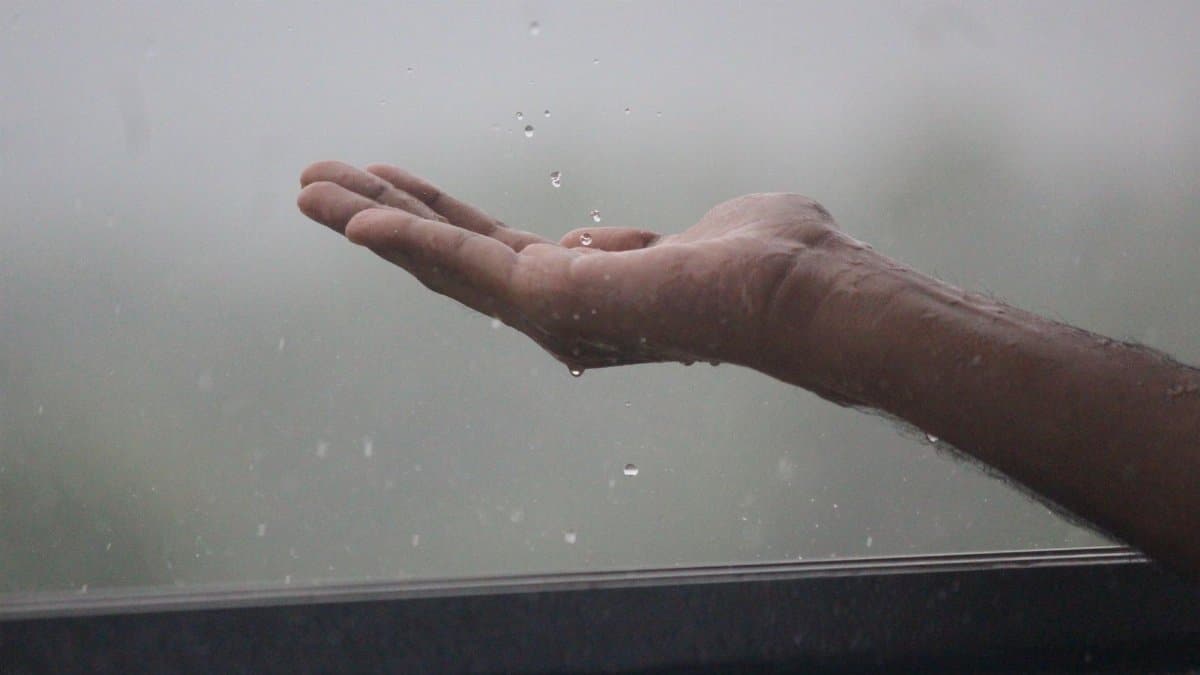
The rain means wetter grass, greener slopes, and a genuine reduction in some kinds of fire starts for as long as that moisture holds. It means muddy roads, fuller storm drains, and, below old burns, a need to respect debris flows. It does not mean the chaparral has been retired, or that the next desert wind will arrive harmless, or that agencies have folded their maps until next summer.
For readers trying to place the week in a longer view, the Southern California rain fire pairing is the right scale of attention. Hold both words. Thank the storm for what it did to the fine fuels and to the air. Then ask the questions crews ask: how deep did the water go, how fast will the small fuels dry, and what will the wind do when the sky clears? Those answers, not the color of the hills, will say whether the season has quieted or merely stepped into the next room.