
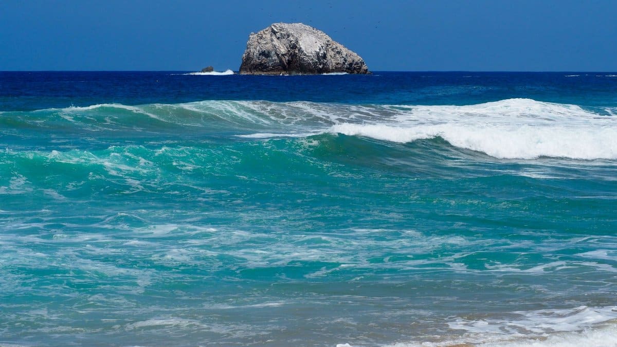
Before sunrise along the Pacific waterfront, the usual clatter of crates and outboard motors can sound thinner than it should. People check the sky the way they check a locked door, not from panic but from habit. That habit has a name this week: Hurricane Vance, a storm that strengthened quickly over open water and now sits far enough from land to feel abstract, and close enough to demand attention.
A fast climb on the scale
The latest public picture is stark in its simplicity. Hurricane Vance reached Category 2 strength, with sustained winds near 105 miles per hour, while remaining roughly 425 miles south southwest of Acapulco. Forecasters have said it could become a major Category 3 hurricane. Those two sentences carry more weight than they appear to, because the jump from a strong storm to a major one changes how emergency managers talk, how ports plan, and how families decide whether a weekend trip is still wise.
Rapid strengthening is not a novelty in the eastern Pacific, but it still unsettles people who remember seasons when a distant swirl became a headline overnight. Warm sea surface temperatures feed the engine. Light winds aloft can let the core organize instead of shearing it apart. Moisture in the surrounding air keeps thunderstorms firing around the eye. None of that is destiny. It is a set of conditions that, when they line up, reward caution more than confidence.
Distance that is not the same as safety
Four hundred twenty five miles is a long drive and a short forecast. A storm that far from Acapulco is not knocking on hotel doors. Swells, outer rain bands, and shifts in track can still reach shore before the center does, or instead of the center doing so at all. Mexican civil protection officials and the National Hurricane Center, whose updates are posted at nhc.noaa.gov, exist precisely because location on a map is only the opening fact.
Acapulco knows what a direct hit feels like. So do smaller towns up and down the coast that rarely make American front pages. Even a miss can close mountain roads, flood low neighborhoods, and cut power where lines already run thin. The useful question is not whether the eye will pass over a famous beach. It is which communities sit inside the cone of uncertainty, and which ones sit just outside it with aging drainage and few spare generators.
What major status actually changes

On the Saffir Simpson scale, Category 3 begins at 111 miles per hour. The label major hurricane is a threshold, not a moral judgment. It signals a storm capable of devastating damage if it comes ashore, especially where building codes are uneven or hillsides have been cut for housing. Wind is only part of the threat. Storm surge, freshwater flooding, and landslides often do more harm than the peak gust people fixate on.
For readers in the United States, the number can feel like a sports score. For a fishing cooperative or a clinic on a coastal road, it is a planning number. It tells a harbor master whether to move boats. It tells a school whether to cancel. It tells a family whether the cousin driving down from the highlands should turn around. Treating the category as theater misses the point of the scale, which was built to translate wind into expected damage in plain language.
The late season Pacific, still very much alive
Atlantic hurricanes dominate American conversation because they threaten the Gulf and the Eastern Seaboard. The eastern Pacific produces its own procession of named storms, many of them staying at sea, some of them curling toward Baja California or sending moisture into the Southwest. A storm in this basin can matter to Houston, Phoenix, or San Diego without ever making a classic landfall on the Mexican mainland. Remnant moisture has a history of wringing itself out over deserts and canyons.
That is one reason a feature in the Houston Chronicle, available at this report on Vance, belongs in a Texas newsroom even when the center is hundreds of miles from the Rio Grande. Shipping lanes, cruise schedules, and family ties run both ways across the Gulf and the Pacific rim of Mexico. Weather does not respect the habit of treating one ocean as ours and the other as someone else’s.
How forecasters watch a core tighten
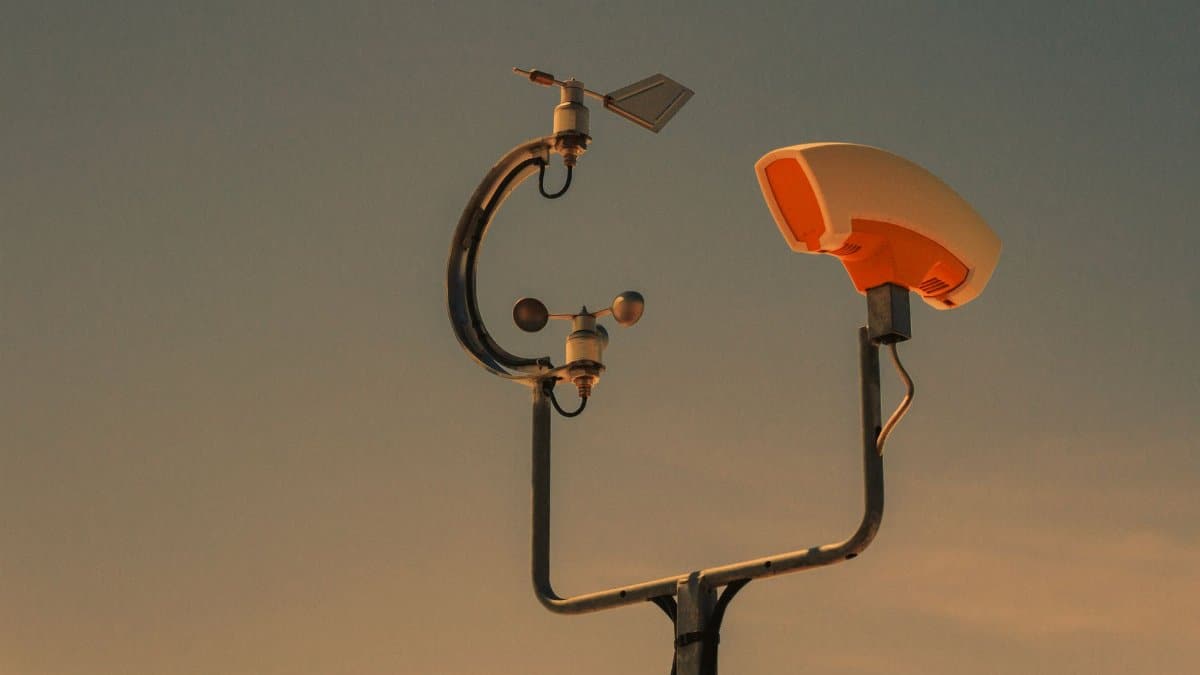
Satellite loops are the public face of this work. A ragged cloud mass becomes a tight curl. Infrared colors deepen where cloud tops punch higher. Aircraft, when they fly, sample the wind and pressure that satellites can only infer. The National Oceanic and Atmospheric Administration explains the broader science of tropical cyclones at noaa.gov, including why small changes in shear or dry air can stall a storm that looked destined for rapid growth.
Models disagree, then converge, then disagree again as new data arrive. A responsible bulletin says what is known, what is likely, and what would falsify the likely path. Readers who want a single number for Friday afternoon are asking the atmosphere for a promise it does not make. The honest product is a range: a track cone, a wind probability, a rainfall outlook that widens with time.
Ports, hills, and the ordinary week that storms interrupt
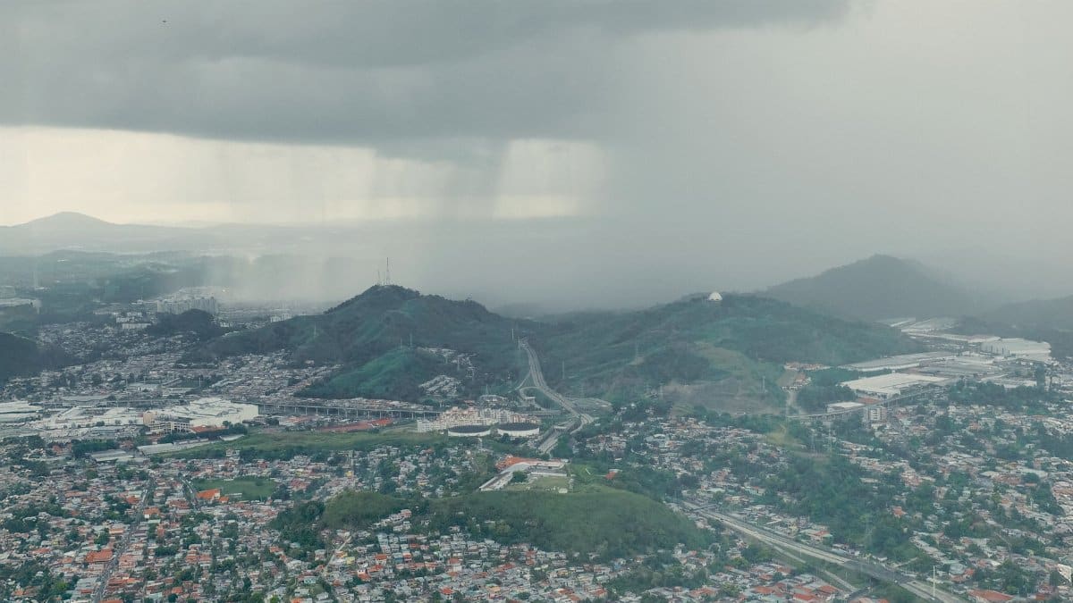
Along this coast, tourism and fishing share the same water and rarely the same risk tolerance. A resort can refund a booking. A day boat cannot refund a week of lost catch if the harbor stays closed. Inland, coffee and fruit move on roads that turn to mud when rain sits on steep slopes. The storm does not need to be historic to reorder a payroll.
I have sat in newsrooms where a Pacific system was filed under foreign weather until a relative called from a coastal town and the story suddenly had a kitchen table in it. That shift is not sentimentality. It is a correction. The people under the forecast are not illustrations. They are the reason the forecast exists.
Travelers, families, and the decisions that cannot wait for clarity
Anyone with a flight into a Pacific resort, a relative in Guerrero or Michoacan, or a ship schedule that brushes the warning area should read the official advisory, not a screenshot from a group chat. Advisories name watches and warnings with legal and practical meaning. Watches mean conditions are possible. Warnings mean they are expected. The difference is hours of preparation, not a quibble among specialists.
Preparation here is unglamorous. Charge phones. Know the high ground. Keep documents dry. Fill a tank if evacuation by road is even a remote option, and do not wait for the dramatic satellite image to do it. Local authorities will say more than any foreign columnist can, in Spanish, on radio, and through neighborhood networks that outsiders never see.
When a storm becomes a mirror
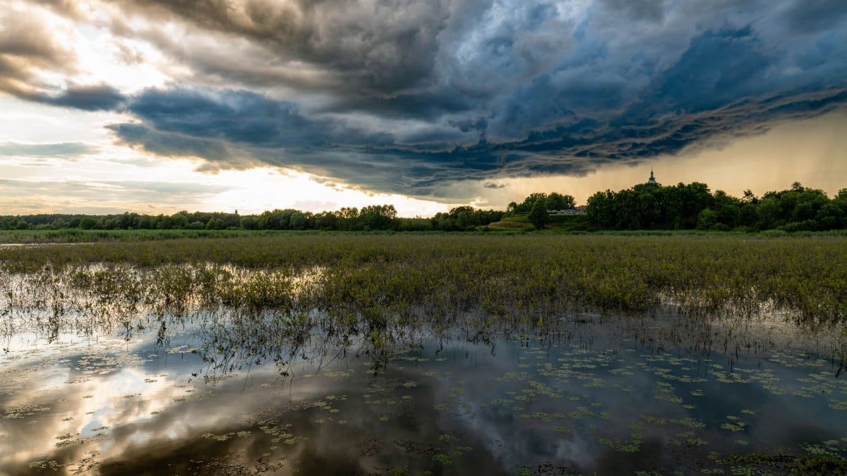
Storms have always pulled people toward questions that meteorology does not answer. In parishes, temples, and living rooms, the same hours that produce supply lists also produce prayers, arguments about fate, and quiet bargains with whatever a person holds sacred. That pattern is old on this coast, where churches and neighborhood shrines sit within walking distance of the surf. It is not unique to Mexico, and it is not a substitute for a forecast.
What is newer is the way those private responses travel. A candle lit for fishermen appears on a phone in Chicago before the evening news. A pastor’s short message about staying home circulates beside a wind graphic. Spiritual practice and weather apps now share a screen. The risk is confusion: a forwarded blessing is not a track update, and a track update is not a verdict on anyone’s faith. The healthier habit is to let each do its own work. Official guidance keeps people alive. Ritual, for those who want it, keeps them company while they wait.
Why the American audience should not look away
Distance encourages a spectator’s tone. Hurricane Vance is still a test of whether that tone holds. Mexican coastal states absorb Pacific risk every year with less American airtime than a single Gulf landfall receives. When strengthening is rapid, the window for that attention shrinks. Shipping insurance, seasonal workers, and families split between Houston and the Pacific coast all feel the same bulletin in different kitchens.
There is also a scientific stake. Each well observed case of fast intensification feeds the record that researchers use to test whether such bursts are becoming more common as oceans warm. That research is ongoing and contested in its details. It does not require a reader to pick a side in order to take this storm seriously today. The immediate facts are enough: strong winds, a plausible climb to Category 3, and a coastline that has already learned, at high cost, what underestimating the Pacific looks like.
Reading the next advisory without theater

The next update may show Hurricane Vance holding, strengthening, or beginning to weaken if shear or cooler water intervenes. Any of those outcomes can be consistent with a careful forecast issued hours earlier. What should not change is the method. Follow the center’s position, the wind radii, and the rainfall discussion. Ignore unnamed accounts that promise a landfall city days before the data support it.
A clear eye on satellite is a beautiful and frightening image. It is not a script. The people south southwest of the storm’s chatter, in Acapulco and in towns whose names rarely trend, will spend the coming days on practical choices. The rest of us can at least refuse to treat their weather as background noise.