
By midweek the air over Dallas felt heavy enough to slow a conversation on a shaded porch. Yards went quiet after lunch. Dogs stayed inside. The forecast offered little relief and a reminder that summer in North Texas does not negotiate. Meteorologists watching the Dallas heat cold front say the heat will linger through the weekend, with only a weak push of cooler air arriving late Sunday. Until then, highs near 100 degrees and dry grass keep fire danger elevated across the region. For people who work outside, the pattern is familiar and still exhausting. The question is not whether the city can endure another string of hot days. It is how thin the margin feels when nights stay warm and a front arrives with more promise than power.
What the numbers say through Sunday

The National Weather Service office in Fort Worth has described a stretch of hot, dry afternoons across North Texas, with daytime highs holding near 100 degrees in Dallas and nearby cities. Details shift from update to update, which is why the public forecast page at weather.gov remains the place to check before making plans. The broad picture has been steady. Sunshine dominates. Humidity is not extreme by Gulf Coast standards, yet it is high enough, paired with the heat, to make outdoor work feel punishing by early afternoon.
A forecast near 100 degrees is not a novelty in August or in a late summer hangover that spills into September. What matters is the run of days, not a single reading. When several afternoons stack together, buildings, pavement, and parked cars store heat and give it back after sunset. Office workers who step from a garage into the street feel that stored heat as a wall. So do parents waiting at a school curb and crews finishing a roof before the light fails.
Why a weak front still gets the headline
Cold fronts are emotional events in Texas even when they are modest. People hear the phrase and picture a clean break, a north wind, and a morning that finally feels different. This one is not that story. Forecasters have framed the weekend feature as weak, meaning the temperature drop should be limited and the timing late. Sunday evening is the window most often cited, which leaves Saturday and much of Sunday inside the same hot regime.
A weak front can still change the wind and knock a few degrees off the high. It can also stall, mix out, or arrive as a wind shift with little rain. Residents who plan a cookout or a youth game around an expected cool down should treat the Dallas heat cold front as a late and limited guest, not as a reset button. The honest forecast is persistence first, relief second, and relief that may not last.
Fire weather when the grass has already cured
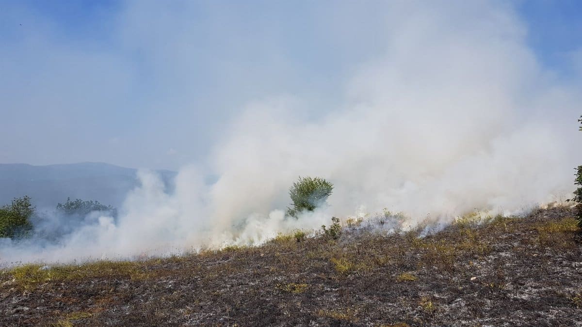
Heat is only half the public safety problem. Dry grass, low afternoon humidity at times, and any gusty wind raise the chance that a spark becomes a fast moving grass fire. North Texas has seen that pattern often enough that county officials treat cured vegetation as fuel, not scenery. Roadside starts, welding sparks, dragging chains, and backyard burns that escape a ring of bricks are the ordinary origins. They do not require a dramatic storm to become neighborhood emergencies.
Elevated fire risk does not mean every county is under the same restriction on a given afternoon. Burn bans are local decisions, and they change. The useful habit is to check the county fire marshal or emergency management office before lighting anything, and to assume that a field beside a highway can carry flame faster than a person can outrun it. Mowing tall dry grass in the heat of the day is a common way people learn that lesson. Metal blades on rock throw sparks. Waiting for a cooler, calmer hour is not fussiness. It is basic risk management while the Dallas heat cold front remains a weekend hope rather than a present fact.
Who feels the afternoons first
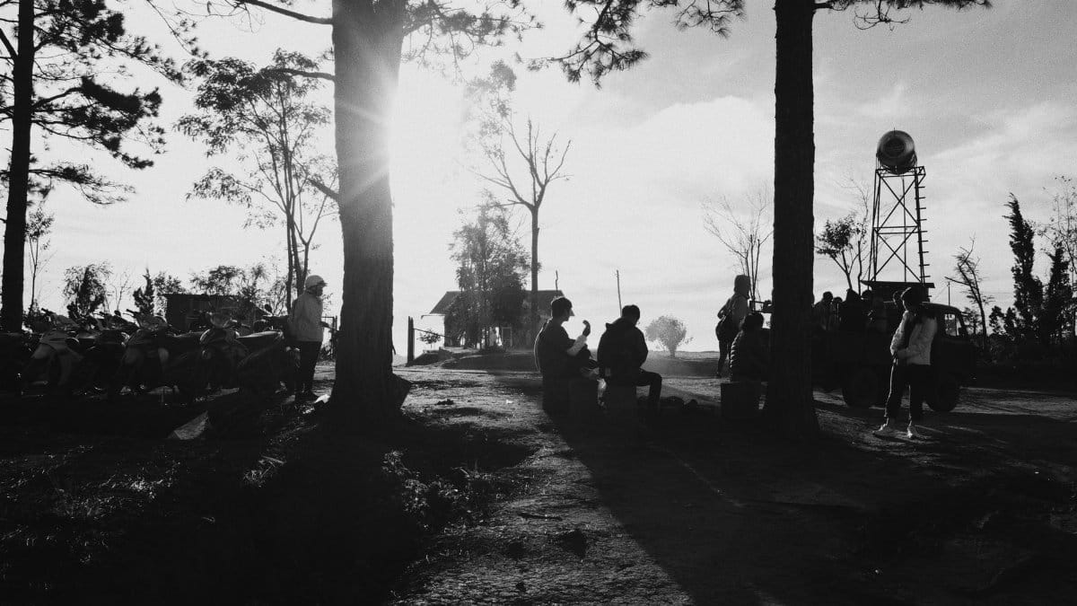
Heat does not land evenly. Roofers, landscapers, utility crews, letter carriers, and construction workers absorb the forecast in their bodies, not on a phone screen. So do people without reliable air conditioning, including some older residents in houses where a window unit cannot keep up and renters who hesitate to run a system they will pay for later. Night shift workers trying to sleep through a hot afternoon face a different version of the same problem.
Public cooling centers and library branches become practical infrastructure on days like these, even if they rarely make the lead of a weather story. So do early morning schedules. Many crews in Dallas already start before sunrise in summer. That adaptation has limits. Concrete still radiates. Vehicles still trap heat. A weak Sunday front will not erase a week of fatigue. Employers who treat water breaks and shade as optional are gambling with other people’s health, and the gamble is worse when the overnight low never really arrives.
Nights that refuse to give the heat back
Daytime highs get the attention. Warm nights do the quieter damage. When the low stays in the upper 70s or around 80 degrees, the body gets less recovery, and the next afternoon starts from a higher baseline. Sleep suffers. Tempers shorten. Pets pant on kitchen floors. Older adults with heart or lung disease are more vulnerable when relief never quite shows up between sunset and dawn.
Urban neighborhoods run warmer than open country because pavement, rooftops, and dense building cover hold heat. A park can feel several degrees kinder than a parking lot a few blocks away. That gap is not abstract. It shows up in electric bills and in who can afford to keep a thermostat where a doctor would prefer it. The Dallas heat cold front, if it arrives late Sunday with only a modest push of drier or slightly cooler air, may trim the edge without producing the kind of night that lets a city exhale.
Rain is the missing character
A front that brings little or no rain leaves two problems in place. The heat eases only slightly, and the fuels stay dry. North Texas in late summer often lives in that gap, waiting on a tropical moisture plume or a stronger system from the northwest that never quite organizes. Scattered storms can pop on the mesoscale and miss entire counties. One neighborhood gets a downpour. The next stays brown and brittle.
That unevenness frustrates anyone trying to plan field work, sports, or a burn that a ban might already forbid. It also explains why a single radar loop can mislead. A green blob west of the metroplex is not a regional soaking. Until a more substantial pattern change shows up, grass fires and heat stress remain the paired concerns, not flash flooding. If storms do form ahead of the weak front, they may produce gusty outflow and lightning starts as easily as they produce helpful rain.
How Dallas sits inside a wider Texas pattern
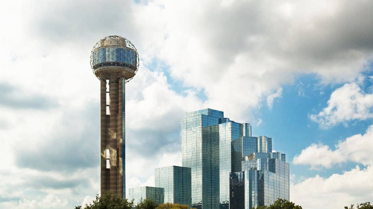
Dallas does not experience this week in isolation. The same high pressure that pins heat over North Texas often influences Oklahoma, the Hill Country, and parts of East Texas, with local twists from soil moisture and tree cover. Coastal cities trade blazing sun for heavier humidity. West Texas trades humidity for sharper fire weather and bigger diurnal swings. Comparing a Dallas afternoon with an El Paso afternoon or a Houston afternoon is a reminder that 100 degrees is not one sensation.
Still, the metroplex has its own signature. Sprawling pavement, a huge commuter footprint, and a population that includes many newcomers who have not yet learned the local summer rhythm. People move here for work and discover that August, and sometimes the weeks after, asks for a different calendar. Morning errands. Indoor midday. Evening walks only after the sun drops, and even then with caution if the air has not moved. A weak weekend front does not rewrite that seasonal contract.
Reading a forecast without performing panic

Weather coverage can slide into two bad habits. One treats every hot day as an apocalypse. The other shrugs because Texas has always been hot. Neither helps a reader deciding whether to keep a child in a midday tournament or whether to postpone a roof repair. The better standard is specific. Highs near 100 degrees are dangerous for unprotected exertion. A weak late Sunday front is not a promise of sweater weather. Elevated fire risk means ordinary sparks matter.
Language should match that scale. Calling the air a Dallas heat cold front is useful only if the second half of the phrase is not allowed to overshadow the first. Heat is the main character through the weekend. The front is a possible epilogue. Readers who want hour by hour detail should use the Fort Worth forecast office updates rather than a single social media screenshot from Thursday. Forecasts evolve. A front that looks slightly stronger on Friday morning may look weaker again by Saturday night.
What changes if the front actually arrives

If the weak boundary does push through late Sunday, the most likely gifts are a wind shift, a small drop in temperatures, and perhaps a drier feel for a day or two. Skies may stay mostly clear. Rain, if any, could be spotty. Monday might feel a notch easier for a morning run and still demand caution by midafternoon. That is success on the modest terms forecasters have already set. It is not a seasonal turn.
People should also watch what the front does not do. If grass remains cured and winds pick up behind the boundary, fire weather can briefly worsen even as the thermometer eases. A cooler day with stronger wind is not automatically a safer day for outdoor burning or equipment that throws sparks. The Dallas heat cold front can rearrange the hazards without retiring them. That is a less satisfying headline than a clean cool down, and it is the more accurate one.
A practical week, not a morality play
None of this requires treating summer as a character flaw or as a spiritual trial, though plenty of Texans talk about the heat in moral language after the tenth straight afternoon near 100 degrees. The useful response is plainer. Drink water before thirst becomes urgent. Check on neighbors who live alone. Do not leave children, older adults, or animals in parked cars for any errand, however short. Shift heavy outdoor work toward early morning. Confirm whether a burn ban is in effect before striking a match. Give the weak front credit only after it shows up.
Dallas has weathered worse stretches, and it will weather this one. The cost is paid in electric bills, lost sleep, canceled practices, and the occasional grass fire that did not have to happen. A late Sunday boundary may take the sharpest edge off the map. Until the wind actually turns and the numbers follow, the story remains heat first, front second, and patience in between.