
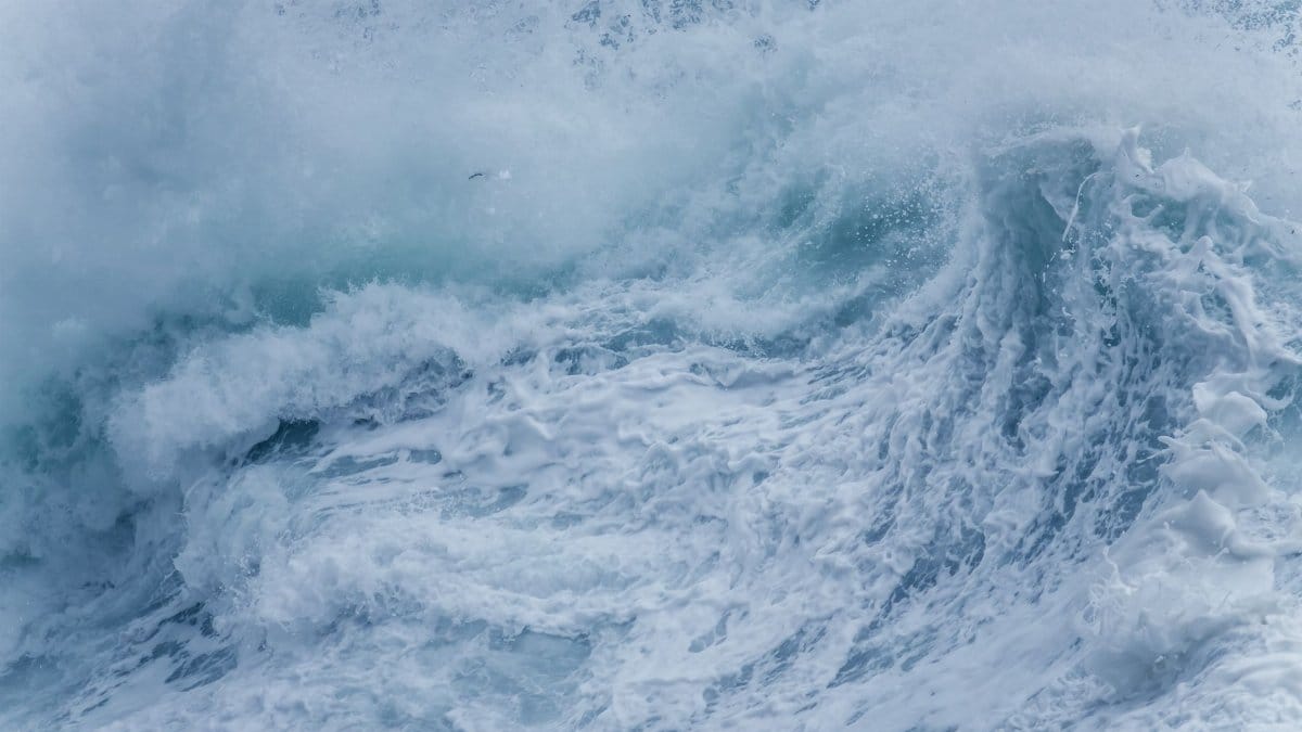
On a quiet September morning the Pacific looked ordinary from the sand, a pale sheet under a high marine layer, until the sets began stacking farther out than the usual wind swell. Lifeguards watched the interval lengthen. Beachgoers who had come for a walk noticed the whitewater reaching higher on the slope. Forecasters were already tying that change to a distant tropical system, and the phrase Hurricane Polo SoCal surf started moving from marine bulletins into group texts and harbor radios.
A storm that stays well offshore
Hurricane Polo intensified over warm water off Mexico and then tracked in a way that kept its core far from the California coast. That geography matters. A landfalling tropical cyclone and a distant wave maker are different events, even when both carry the same name on a weather map. Polo was expected to send energy across hundreds of miles of open ocean while its rain shield remained south and west of the region. For most neighborhoods inland, the week was never going to feel like a hurricane. For the shoreline, distance did not mean irrelevance.
Meteorologists described a classic Pacific pattern. Tropical cyclones can weaken or recurve before they near Southern California, yet the swell they generate travels on its own schedule. The storm offered little promise of widespread rain. It did raise the chance of dangerous surf, strong rip currents, and pockets of coastal flooding as larger waves met high tides late the following week.
Why the water arrives before the weather
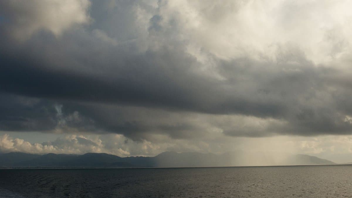
Waves are a form of energy, not a blob of storm water sliding up the coast. Once Polo organizes deep convection and strong winds over a long fetch, that energy radiates outward. Longer period swells move faster and decay more slowly than short, choppy wind waves. They can reach San Diego, Orange County, Los Angeles, and Ventura while the cyclone itself is still a compact spiral on satellite imagery south of Baja California.
That lag confuses people who check only the local rain forecast. A sunny afternoon and a hazardous surf zone can occupy the same hour. The sky may stay dry. The nearshore may not. Residents who equate storms with dark clouds and street flooding can underestimate a day that looks pleasant from a bluff and looks entirely different at the waterline.
What forecasters were actually watching
The National Weather Service and the National Hurricane Center were tracking Polo intensity, track, and wind field, then translating those details into coastal hazards rather than rainfall totals. Wave height alone is a poor summary. Period, direction, and tide phase decide whether a set slams a jetty, wraps into a usually protected cove, or spends itself on an outer bar. A south or south southwest swell can light up beaches that a west swell leaves quiet, and the reverse is also true.
Confidence in the exact size of the surf improves as buoys between the storm and the coast begin to register the leading energy. Until then, forecasts speak in ranges. That uncertainty is not hedging for its own sake. A small shift in Polo track can change which stretch of shore takes the largest sets. Readers who want the official wording can follow updates from the National Weather Service and the National Hurricane Center, which revise marine and tropical products as new observations arrive.
From San Diego to the Ventura line
Southern California is not one beach. A south facing stretch in San Diego County can run larger than a west facing pocket behind a headland in Malibu. Piers, jetties, and harbor entrances focus energy in ways a casual map does not show. Newport, Huntington, Manhattan Beach, Santa Monica, and points north each have their own relationship to a long period south swell. Some coves that feel tame in a typical afternoon sea breeze become lively when the swell direction bends around a point.
County lifeguard agencies tend to speak in local terms for that reason. A general statement that the coast will see elevated surf can hide a harbor mouth that is suddenly hard to enter, or a river mouth bar that shifts under heavier shore break. The practical question is not whether the Pacific is rough in the abstract. It is which access points, which hours, and which tides carry the real risk.
Rip currents as the quiet threat
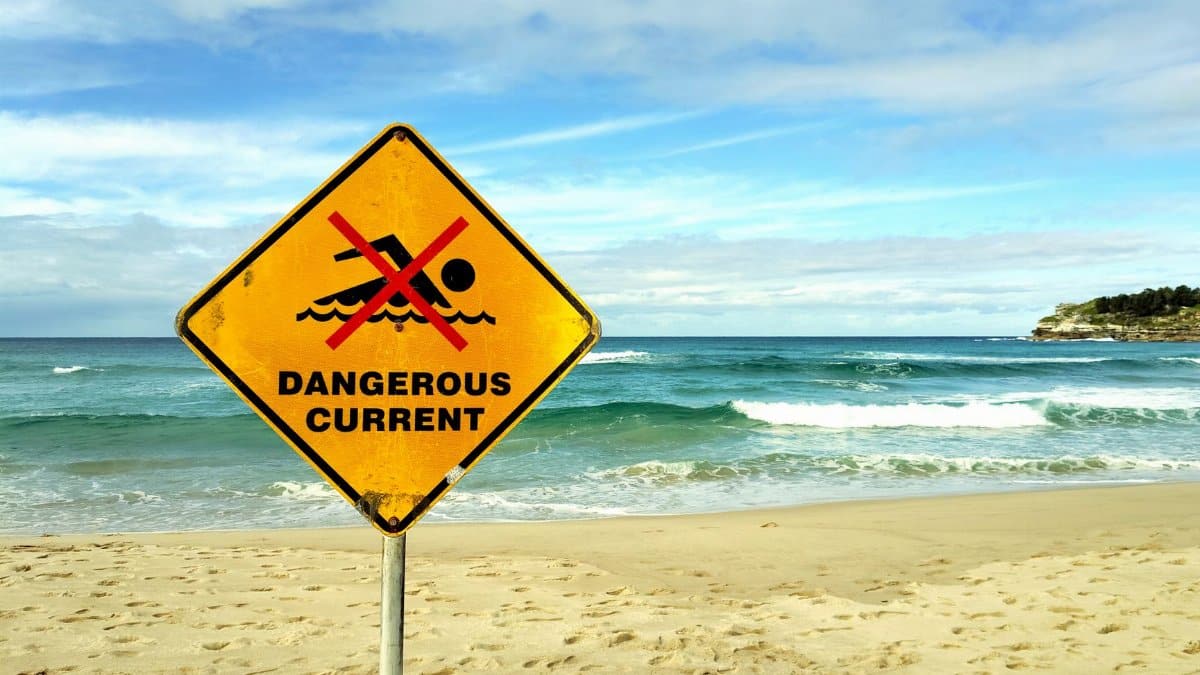
High surf draws the eye. Rip currents do the serious harm. They form where water that has rushed up the beach finds a path back out, often through a channel in the sandbar. The surface can look deceptively smooth, a river of slightly discolored water moving seaward between lines of breaking waves. People who are strong swimmers in a pool still get caught because they fight the current directly and exhaust themselves.
Lifeguards repeat a simple instruction because it works. If you are pulled out, do not sprint against the flow. Float, signal for help, and swim parallel to shore until you leave the channel, then angle back in. That advice is not a substitute for staying out of the water when red flags are flying. It is the difference between a scare and a rescue when someone is already in trouble. Visitors from inland cities, and children who wandered past a parent on a seemingly calm morning, account for a large share of these calls every season.
High tides and the chance of coastal flooding
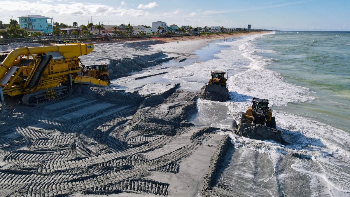
Wave height and tide height multiply. A set that looks manageable at a midday low can overtop a beach berm, a bike path, or a low parking lot when it arrives near a higher tide. Coastal flooding in this setup is usually narrow and salty rather than the freshwater inundation people associate with atmospheric rivers. It still closes roads, damages decking, and floats debris into swim zones.
Harbors feel it as surge and wrapped energy at entrances. Boat owners who leave lines slack, or who assume a distant storm cannot rock a marina, sometimes learn otherwise. Minor coastal flooding is not a cinematic wall of water. It is a foot or two in the wrong place, repeated set after set, until sand, kelp, and driftwood cover a walkway that was dry at dawn.
How the surf community reads the horizon
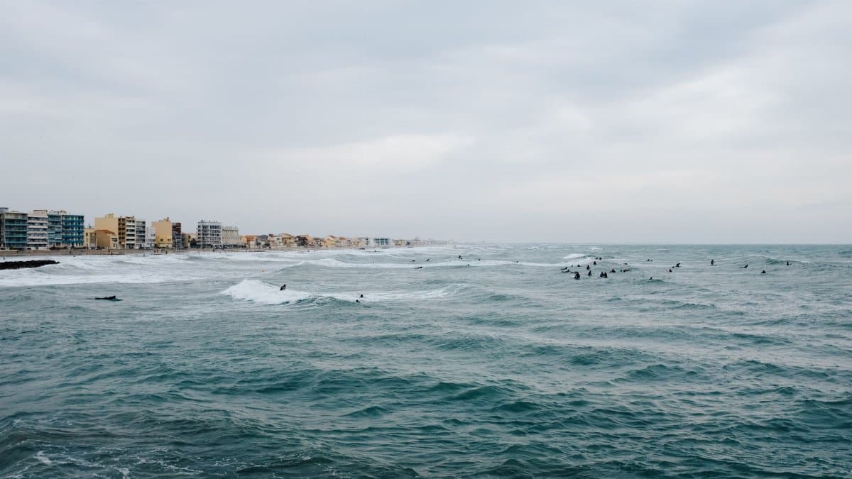
For experienced surfers, a tropical swell is a known character. It often arrives with longer waits between sets and more power in each one. That can mean memorable waves at spots built for south energy, and also a faster path to injury at beach breaks where the shore break unloads on shallow sand. The same bulletin that excites a skilled rider is a warning for everyone else.
Local shops and longtime watermen tend to translate forecasts into place names. They know which reef needs a bigger tide, which peak closes out, and which channel is a trap when the interval stretches. Their judgment is not a formal warning, and it should not replace one. It does explain why Hurricane Polo SoCal surf became a subject of argument as much as anticipation. Some saw a clean window. Others saw a coastline already worn by earlier swells and in no mood for another beating.
Piers, harbors, and people who work the water
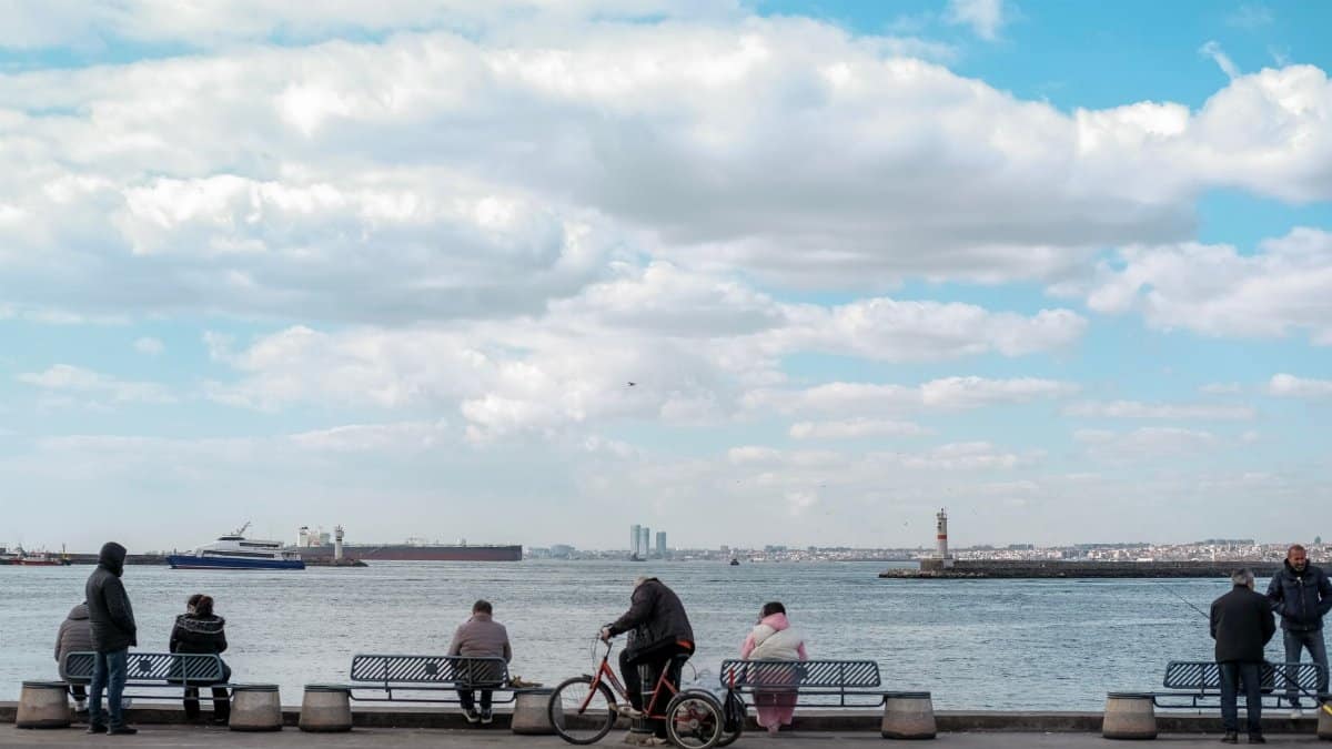
Commercial and recreational boaters face a different map than swimmers. Entrance channels that are routine in a short period sea breeze can become steep and confused when a long period swell opposes an outgoing tide. Charter captains delay trips. Harbor patrols watch for kayaks and paddleboards that have no business near a breaking entrance. Pier fishermen feel the deck move and watch larger sets shoot up the pilings.
These are workplace decisions as much as recreation decisions. A closed ramp or a postponed departure is not drama. It is how a coast absorbs energy without adding a rescue to the log. Officials ask the public to give emergency crews room on beach roads, especially if minor flooding pins cars that should never have been left in low lots overnight.
The late week window
Timing is the part of the forecast most likely to slip by a day. Leading forerunners, the longest and fastest waves, can show up before the bulk of the swell. The peak may hold into the weekend or fade sooner if Polo weakens and its fetch shortens. Evening high tides were the hours many forecasters circled, because that is when runup has the best chance to reach structures that sit just above the usual wash.
People planning beach weddings, junior lifeguard events, or a simple family afternoon should treat the marine forecast as the controlling document, not the sunny icon on a phone app. A dry forecast and a hazardous surf zone are compatible. If flags go up, the ocean is closed to swimming no matter how inviting the surface looks between sets.
Polo in a busy Pacific season

Tropical cyclones in the eastern Pacific are a regular feature of late summer and early autumn. Most never threaten California with wind or heavy rain. A smaller number still write their names into the surf record because their swell outruns the storm. Polo belongs in that second category unless the track changes in a way current guidance does not support. The name will fade from headlines faster than the sandbars it rearranges.
That is worth remembering when the next system appears on a satellite loop. Intensity near Mexico is not a direct measure of danger in Los Angeles. Direction, duration, and the state of the tide decide the local story. Hurricane Polo SoCal surf is a reminder that the hazard can be specific, coastal, and easy to miss if you only ask whether it will rain.
What a careful day at the shore looks like
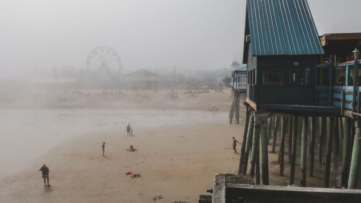
Stay back from wet rocks and jetty tips, where a single set can sweep a person who was only trying to get a better photo. Keep children on the dry sand side of the berm when lifeguards post warnings. Do not turn your back on the ocean. If you boat, check entrance conditions before you commit, and leave earlier than pride suggests. If you surf, choose a spot that matches your experience, go with a partner, and accept that some days the best wave is the one you do not paddle into.
Homeowners on the immediate coast can move loose furniture, secure trash bins, and avoid parking in lots that have flooded in past south swells. These steps are modest. They match a modest but real risk. The storm is not coming ashore as a hurricane. The ocean it disturbed is still arriving.
A coastline that has seen this before
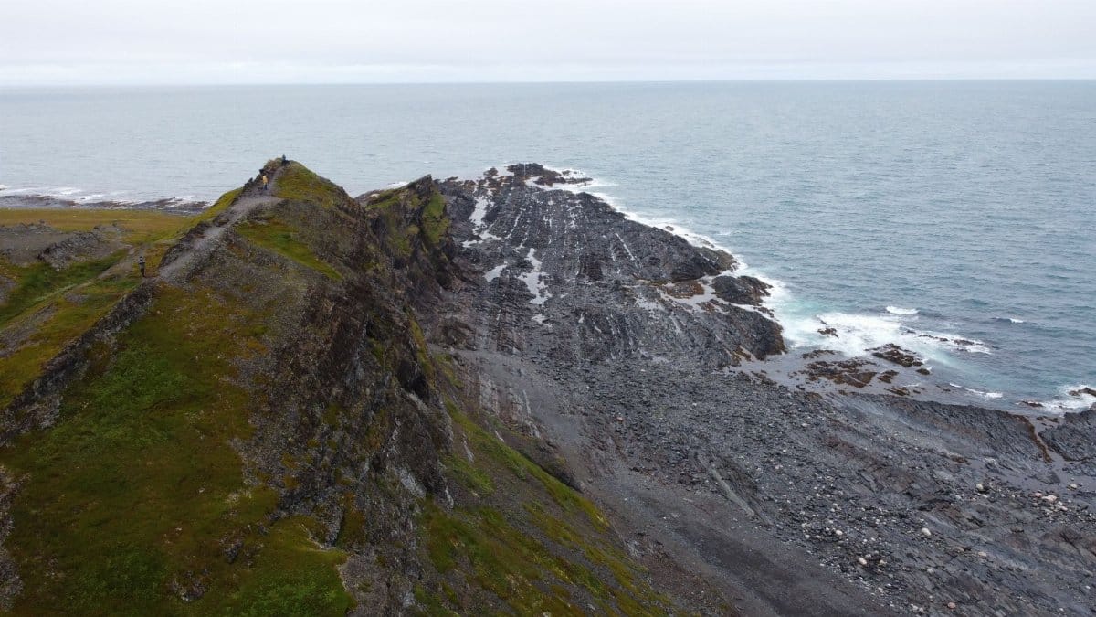
Southern California has a long memory of tropical swells that looked distant on a map and felt immediate at the waterline. Beaches recover. Piers get hosed down. The argument on the sand starts again with the next name on the list. What does not recover easily is a person who treated a pleasant sky as proof that the Pacific was ordinary.
Hurricane Polo SoCal surf will be judged, in the end, by buoy readings and by whether the warnings matched the sets that actually landed. Until those numbers settle, the responsible reading is the plain one. Little rain. Real surf. A rip current and coastal flood risk that peaks when larger waves line up with higher tides. The horizon can look calm from a kitchen window and still be writing a different story at the edge of the wash.