
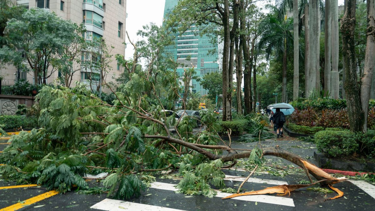
On a map of the Pacific, the international date line looks like a quiet rule drawn by cartographers, not a gate that can rename a storm. Yet that is what happened when a powerful cyclone left one basin for another, and the Typhoon Nolo date line crossing turned a familiar hurricane into a system with a new title. Forecasters had been tracking a Category 3 hurricane with winds near 115 mph. After the crossing, the same circulation was called a typhoon and later carried winds near 100 mph. The water did not change. The clouds did not pause. Only the label, and the calendar on one side of the line, shifted for the people reading the warnings.
A storm that kept its strength and lost its first name
Hurricane Nolo did not dissolve at the edge of the map. It kept a coherent center, a broad wind field, and the kind of organization that meteorologists respect. Before the crossing it was a Category 3 hurricane at 115 mph, strong enough to tear roofs, push dangerous surf, and force ships to alter course. Later reports placed winds near 100 mph, still a serious cyclone by any practical measure. The drop in speed mattered for damage estimates, but it did not erase the storm. What changed first, in the public record, was the word attached to it.
In the eastern and central Pacific, intense tropical cyclones are hurricanes. West of the date line, the same class of storm is a typhoon. The rename is a convention, not a verdict that the atmosphere has become a different creature. For readers who follow only one coastline, the switch can sound like two events. It is one event told in two dialects of the same science.
Why the date line is more than a clock
The international date line is a boundary of time. Cross it going west and the calendar jumps forward. Cross it going east and the day repeats. Mariners and airline crews have lived with that oddity for generations. Weather does not keep a diary, so the line has no physical wall. Sea surface temperature, wind shear, and moisture decide whether a cyclone grows or fades. The line decides which warning center speaks, which name list applies, and which headline a newspaper in Dallas or Honolulu is likely to print.
That bureaucratic edge can still shape real choices. A captain reading a bulletin wants the correct basin, the correct advisory number, and a name that matches the product on the screen. Confusion between hurricane and typhoon is usually harmless in a newsroom and costly on a bridge if it sends someone to the wrong forecast. The Typhoon Nolo date line episode is a clean illustration of that split between physics and paperwork.
How forecasters hand a cyclone from one desk to another

Tropical cyclone warnings are a relay. Agencies in the United States, including the Central Pacific Hurricane Center and the National Hurricane Center, cover waters east of the date line. The Joint Typhoon Warning Center and regional meteorological services take the lead farther west, alongside national centers that serve island states and the Asian rim. When a storm crosses, the track does not reset. The handoff is meant to be continuous: position, motion, intensity, and wind radii travel with the file.
Intensity is estimated from satellites when ships and aircraft are absent, which is most of the open Pacific. Forecasters read cloud patterns, eye definition, and microwave imagery, then assign a wind speed. A change from 115 mph to 100 mph can reflect real weakening, a conservative reanalysis, or both. Readers should treat those numbers as best judgments, not as laboratory readings from a fixed instrument. The storm was still dangerous after the rename. A 100 mph typhoon is not a mild sequel to a hurricane.
What the numbers meant for anyone in the way
Category scales exist so the public can rank risk quickly. Category 3 on the Saffir Simpson scale means devastating damage is possible where the core comes ashore. Open ocean does not have neighborhoods, but it has routes. Freighters, fishing boats, and research vessels all feel a broad fetch of wind and the swell that outruns the center by hundreds of miles. Island chains with little elevation have nowhere to hide from surge if a track bends toward them.
A later reading of 100 mph still sits at the high end of tropical storm impacts and, depending on the scale in use west of the line, remains a significant typhoon. The practical advice does not soften because the headline verb changed from hurricane to typhoon. People should still secure loose gear, respect marine warnings, and avoid treating a modest drop in peak wind as a reason to relax. Peak wind is one number. Wave height, rainfall, and how long the wind blows are the others.
Naming lists and the memory of a single system

Storm names are drawn from lists agreed by regional bodies. A hurricane name and a typhoon name can both attach to one life cycle if the cyclone crosses the boundary and the rules call for a new label. Historians of weather then have a small puzzle: two names, one vortex. Archives solve it by tying advisories to time, latitude, and longitude rather than to the popular name alone. Anyone searching old clippings for Nolo has to follow both titles or risk missing half the record.
That bookkeeping sounds fussy until insurance, shipping investigations, or climate summaries need a clean timeline. Did the worst winds occur before or after the crossing? Was the 115 mph estimate the peak of the life cycle? Later analysts will want the original bulletins, not a blended memory. The Typhoon Nolo date line record is useful precisely because the rename forces that question into the open.
The Pacific as one basin with two vocabularies

From space, the Pacific is a single heat engine. Warm water fuels rising air, and the Coriolis effect sets the spin. East of the date line and west of it, the physics textbook does not change chapters. What changes is institutional language. Americans say hurricane. Much of Asia and the western Pacific says typhoon. In the Indian Ocean and near Australia, the word is often cyclone. All three can describe a warm core storm with sustained winds above a shared threshold.
Journalists sometimes treat the vocabulary as local color. It is more than that. It tells a reader which agency to trust for the next update and which coast is accustomed to that word in school drills and harbor rules. A storm that migrates across the line carries its hazard with it and picks up the dialect of the new shore. Nolo, in that sense, was a traveling lesson in translation.
Time zones, headlines, and the day the storm arrived twice
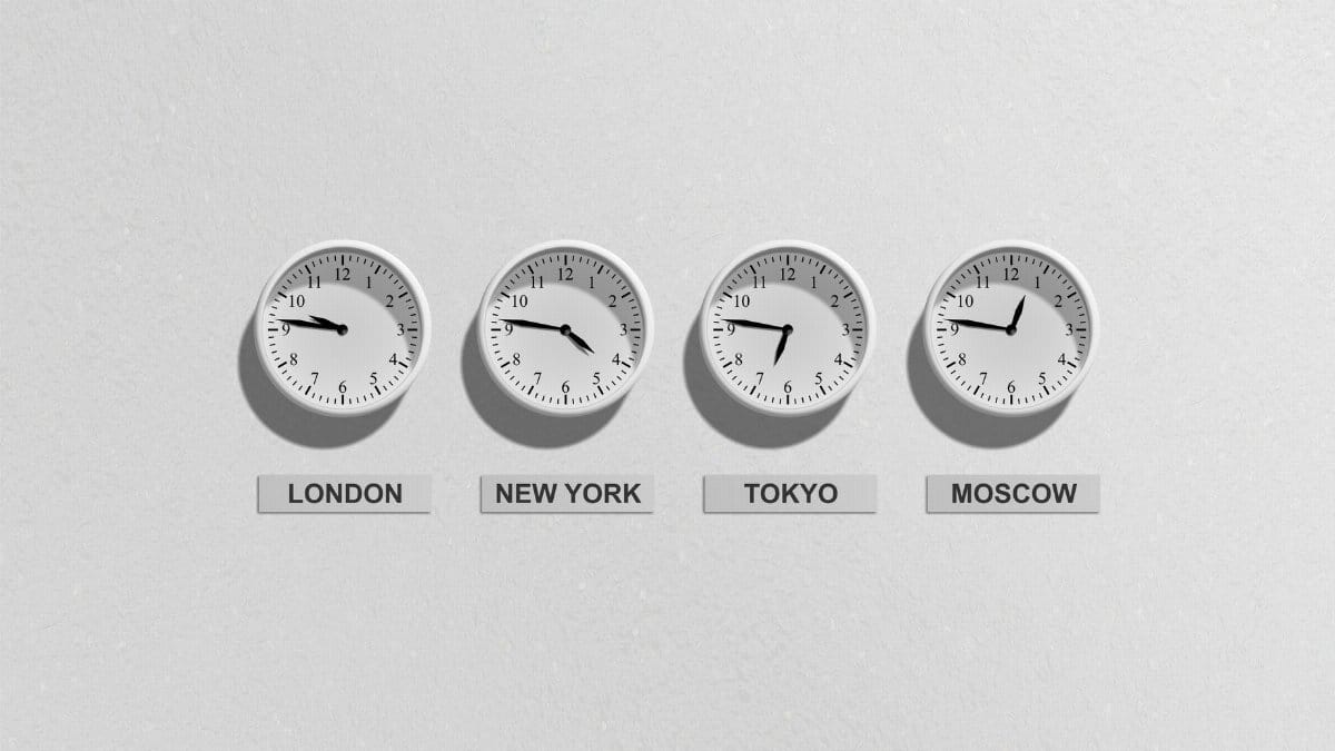
Because the date line also resets the calendar, a crossing can scramble the way a story is told. A satellite pass late on one calendar day is early morning on the other. Deadlines in mainland newsrooms do not match shipboard logs. A reader can see two dates for what crew members experienced as one night of rough water. Careful reporting names the universal time of the advisory and then translates it, instead of letting the local date do all the work.
This is not a trick of language. It is a reminder that maps are agreements. The line could have been drawn elsewhere. In places it already bends to keep island groups on the same day. Weather ignores those bends. When we say a hurricane became a typhoon past the date line, we are describing a human boundary laid over a natural path. The Typhoon Nolo date line phrasing captures both facts at once: the storm, and the line that renamed it.
What weakening does and does not promise

A fall from 115 mph to 100 mph is real news for anyone modeling surge or planning a diversion. It is not a promise of safety. Tropical cyclones often pulse, weakening over cooler water or under stronger shear, then recovering if the environment improves. A single pair of wind estimates cannot sketch the whole life cycle. They can, however, correct the impression that a rename equals a collapse.
Mariners are trained to read trends: falling pressure, a tightening eye, an expanding radius of gale force wind. Those details live in the full advisory, not in the headline noun. If Nolo eased after the crossing, the easing belonged to the atmosphere. The new name belonged to the map. Mixing those two stories is how a precise warning becomes a vague one.
Islands, shipping lanes, and a thin margin for error
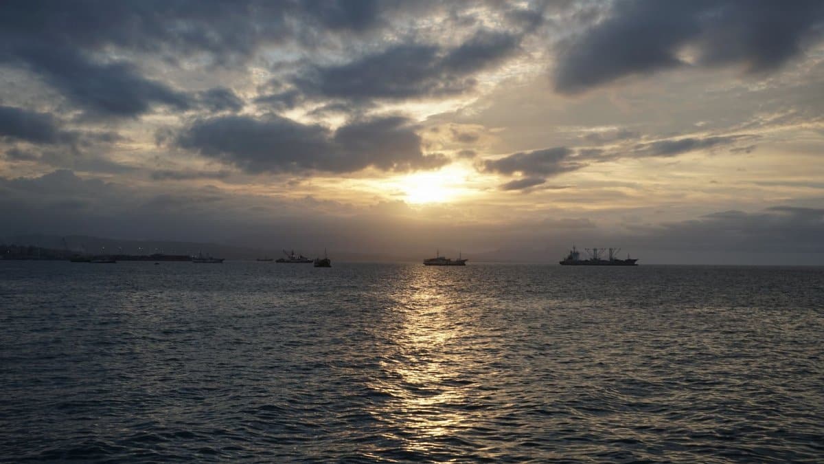
The central and western Pacific are not empty. Small island communities depend on accurate marine forecasts for ferries, fishing, and the arrival of supplies. A missed handoff, or a public that thinks the storm ended because the hurricane name vanished, can delay preparations by the few hours that matter. Shipping lanes between Asia and the Americas cut across the same waters. A captain who searches only for hurricane Nolo after the crossing may not find the typhoon advisory that now governs the route.
That is a modest operational point with a large human stake. Weather communication fails less often from bad science than from a name, a basin, or a time stamp that does not match what the audience expects to see. The crossing of Nolo is a case study in matching the message to the map without pretending the hazard has been reclassified into something milder.
How readers should hear the next crossing

Storms will cross the date line again. Some will be weaker than Nolo. Some will be stronger. The pattern is stable even when the particular name is not. A hurricane that becomes a typhoon has not been downgraded by vocabulary. Look for wind speed, pressure, motion, and the size of the wind field. Notice whether the advisory center has changed. Keep the old name in mind when you search for earlier warnings, and the new name when you search for what comes next.
The Typhoon Nolo date line story fits in a short sentence and a longer caution. The sentence is that a Category 3 hurricane at 115 mph crossed the date line, took the name typhoon, and was later reported with winds near 100 mph. The caution is that the sentence is a label change wrapped around a continuing hazard. Anyone who lives by the Pacific, or whose goods cross it, already knows that words do not calm the water. They only tell you which bulletin to open before the swell arrives.
A record worth keeping straight
Years from now, a student or a claims adjuster may ask what Nolo was. The honest answer is a single tropical cyclone that wore two names because it crossed a human line on the globe. Peak winds before that crossing were estimated near 115 mph. Afterward, estimates near 100 mph still described a powerful storm. The international date line marked a change in calendar and in institutional responsibility. It did not mark a change in the laws of wind and water.
That distinction is the whole point of telling the story carefully. Call it Hurricane Nolo on one side and Typhoon Nolo on the other, and keep the track continuous underneath. Readers do not need folklore about a storm that dies at midnight and is reborn at dawn. They need a clear account of one system, two names, and a line on the map that organizes time without governing the sea. The Typhoon Nolo date line crossing is memorable because it makes that ordinary truth visible in a single headline.