
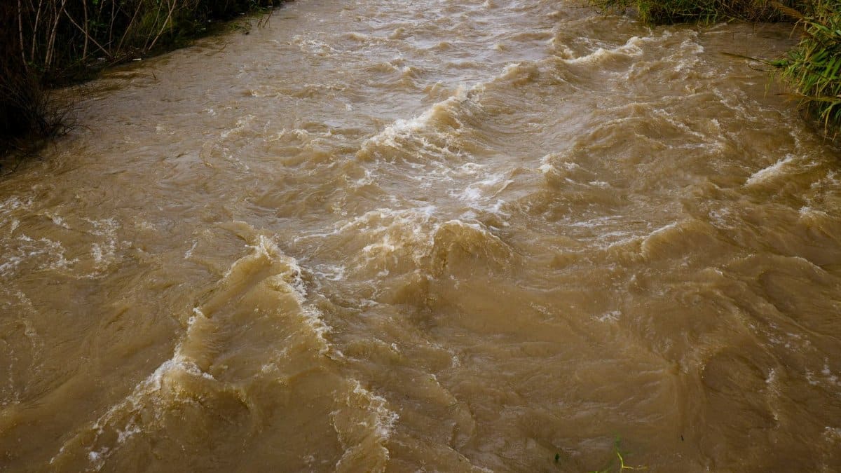
On a humid morning after a night of relentless rain, the canals that cut through Broward and Miami Dade run high and fast, their surfaces broken by pumps pushing water toward the coast. Neighbors watch the banks and compare notes about garages, schoolyards, and the streets that always go under first. The spectacle is familiar, yet the pace of these storms is forcing a harder look at South Florida flood control and whether a network designed in another era can still protect a region that keeps adding people, pavement, and risk.
A network born from disaster
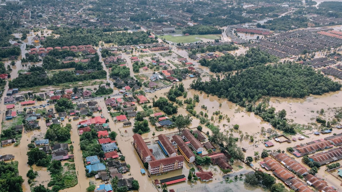
The modern canal system is not an accident of geography. It is the descendant of a federal and state project authorized after devastating floods in the late 1940s, when much of the region was still farmland and small towns. Engineers set out to drain the Everglades fringe, protect crops, and open land for houses. They cut primary canals, built levees, and installed gates and pump stations so water could be moved on a schedule rather than left to sheet across the landscape.
That ambition worked, in the narrow sense that millions of people now live on ground that once spent part of the year under water. It also locked the region into a bargain. Dry feet depend on machines, maintenance, and an ocean that will accept the discharge. When any part of that bargain weakens, the water finds the lowest street.
How the canals are supposed to work
Think of the system as a set of rivers that people dug and then tried to discipline. Rain falls on roofs, roads, and yards. It enters neighborhood drains, then secondary canals, then the big arteries that run east toward Biscayne Bay, the Atlantic, or other outlets. Gates hold water back for irrigation and for the water table that keeps wells and wetlands from collapsing. When a storm arrives, operators open gates and start pumps so the same channels can empty as fast as physics and permits allow.
South Florida flood control, in daily practice, is this constant negotiation between storage and release. Too much held back, and yards flood. Too much sent seaward at the wrong moment, and salt creeps inland, or downstream neighborhoods take a hit they did not cause. The people at the controls are not guessing in the dark. They watch gauges, radar, and tide tables. They still cannot create capacity that the concrete and the pumps do not have.
When rain outruns the pumps
Recent deluges have made the limit visible. A slow tropical rain can be managed. A burst that drops half a foot in a few hours cannot. Drains surcharge. Intersections become ponds. Canals that looked lazy at noon are bank full by evening, and the pumps, even running hard, are moving a volume the upstream streets have already exceeded.
Residents sometimes hear impressive flow numbers and assume the machinery is winning. Flow is not the same as clearance. A canal can be gushing and still be too high to accept another inch from a clogged neighborhood line. Epic rain does not wait for a shift change. It arrives in pulses that older design storms did not treat as normal.
The ocean pushes back
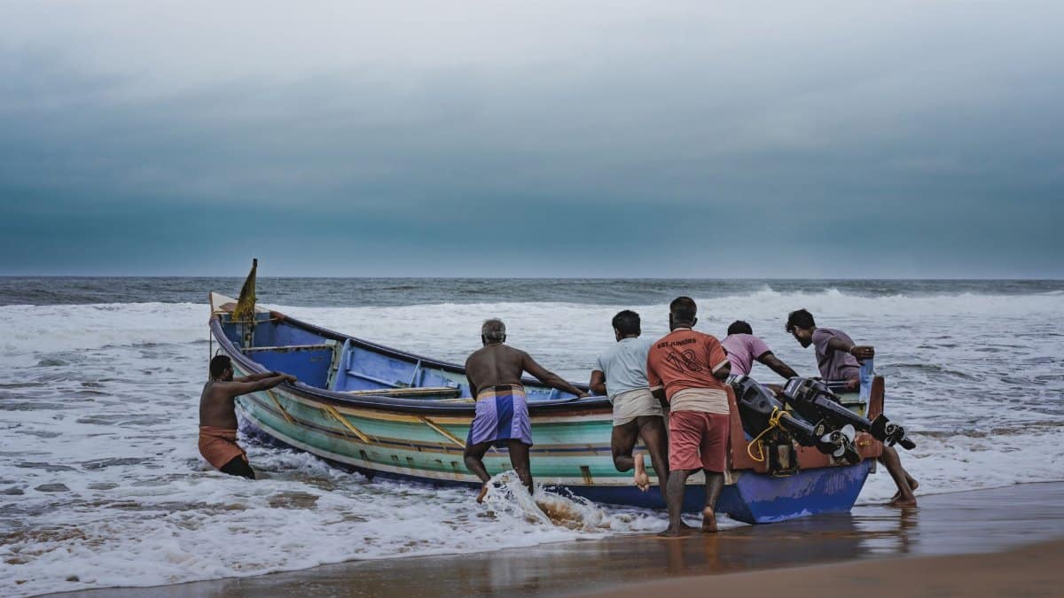
Gravity used to be a reliable partner. Many eastern canals were built to drain downhill toward a sea that sat lower, on average, than it does now. Higher mean water, and higher high tides, shrink that advantage. When the outlet is already near the top of the gate, opening it does less. Pumps must lift water that once left on its own, and they must do it while tides and onshore winds stack the bay against them.
This is not a distant scenario. King tides already cover low roads on clear days. Add a stalled storm and the same roads lose their escape route. Salt also matters. Repeated push of seawater into freshwater canals stresses gates, vegetation, and the wells that utilities still count on. Flood control and water supply are the same plumbing seen from different ends.
Who feels the water first

The map of damage is not random. Older blocks with small pipes, neighborhoods built in historic sloughs, and streets where drains have filled with sediment go under before the postcard waterfront does. Renters often have less ability to elevate equipment or to leave for a week. Small businesses on arterial roads lose inventory while the canal a few blocks away is still being praised for doing its job.
Insurance, if it can be bought, prices that difference in slowly and then all at once. A family can follow every rule, keep the gutters clear, and still watch a car float because a primary canal could not fall fast enough. Fairness here is not a slogan. It is a question of whose risk the original project treated as acceptable, and whose risk growth has added since.
The bill for an aging system

Concrete cracks. Steel gates corrode in warm salt air. Pumps installed for a smaller population run closer to their limits and fail at awkward hours. Replacing them is not a weekend contract. Rights of way are tight. Utilities share the corridors. Permits must account for wetlands, fisheries, and the neighbors who will live beside a bigger structure.
Budgets at the water management district, the counties, and the cities rarely rise as fast as the work list. Federal partnerships can unlock large projects, and they can also stall them in studies. Meanwhile, every year of delay is another wet season asked of equipment that maintenance crews already know by its noises. South Florida flood control is, in that sense, a public utility hiding in plain sight along roads people use without looking down.
What upgrades can and cannot do

Engineers are not short of ideas. Larger pumps, higher sea walls at outlets, redesigned gates, restored wetlands that hold water west of the urban edge, and stricter rules on how much new pavement can shed rain in a single burst all appear in public plans. Some of that work is underway. None of it is a switch that ends flooding.
A bigger pump helps only if the canal, the power supply, and the outfall can take the load. A wetland helps only if the land is actually available and the water can reach it before it tops a curb. Elevation of homes helps the structure and does nothing for the street the ambulance still needs. Honest planning says which problem each dollar is buying down, and which problem it leaves for the next storm.
Pavement, yards, and the water we add

The system does not fail only because it is old. It fails, in part, because the watershed above it has changed. Subdivisions replaced pine flatwoods and marshes that once slowed runoff. Driveways, warehouses, and parking lots turn a moderate rain into a rapid pulse. Even careful landscaping cannot imitate the storage of open land once that land is gone.
Local rules on retention ponds and permeable surfaces matter, and so do the exceptions granted in the name of housing supply and economic growth. Those goals are real. So is the downstream bill. A region can build more homes and still refuse to pretend that every new roof is hydrologically free.
Learning to live beside the canals
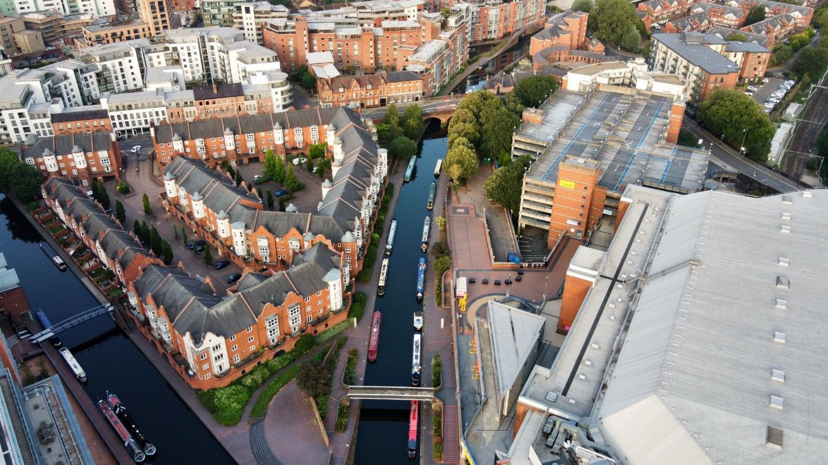
There is a cultural adjustment buried in the engineering. For decades the promise was control: water would go where managers sent it, and daily life could ignore the swamp underneath. That promise is fraying. Living here well may mean keeping cars and heaters off the ground floor, designing streets that can hold water for a few hours without becoming traps, and treating canal banks as infrastructure rather than leftover green.
It may also mean saying no, sometimes, to the last developable lot in a basin that already cannot clear. That is a political sentence, not a technical one, and it will be argued in hearings where the immediate constituency is louder than the future resident who has not arrived.
What operators watch when the sky opens

During a major rain, the work is granular. Forecasters update totals by the hour. Gate tenders move structures in a sequence meant to spare the most vulnerable reaches. Power crews stand by because a pump without electricity is a sculpture. Communication with cities matters as much as hydrology, since a flooded intersection is a police and fire problem before it is a chart in a report.
Afterward, the useful question is not whether the canals looked dramatic. It is whether the peak stage exceeded the design, whether any gate stuck, whether a neighborhood drain was already blocked, and whether the tide at the outlet stole the margin everyone hoped to have. Those details, gathered storm after storm, are how a system learns. They are also how the public can tell a rare freak event from a pattern.
Questions worth asking before the next storm

Residents do not need to become hydrologists to ask better questions. Which canals serve this block, and who maintains the last mile of pipe? What rain total is the neighborhood actually built for? Where does the power for the nearest pump station come from, and what happens if it fails? Which projects on the official list would lower water on this street, and which would mainly protect somewhere else? How will sea rise over the next few decades change those answers?
South Florida flood control will not be settled by a single bond issue or a single wet season. It will be settled, imperfectly, by whether the region treats canals, pumps, and the land that feeds them as a shared necessity rather than a backdrop. The rain will keep coming in bursts that feel epic. The canals will keep gushing. Readiness is the part people can still choose, if they look at the system while the sun is out and not only when the water is already at the door.