
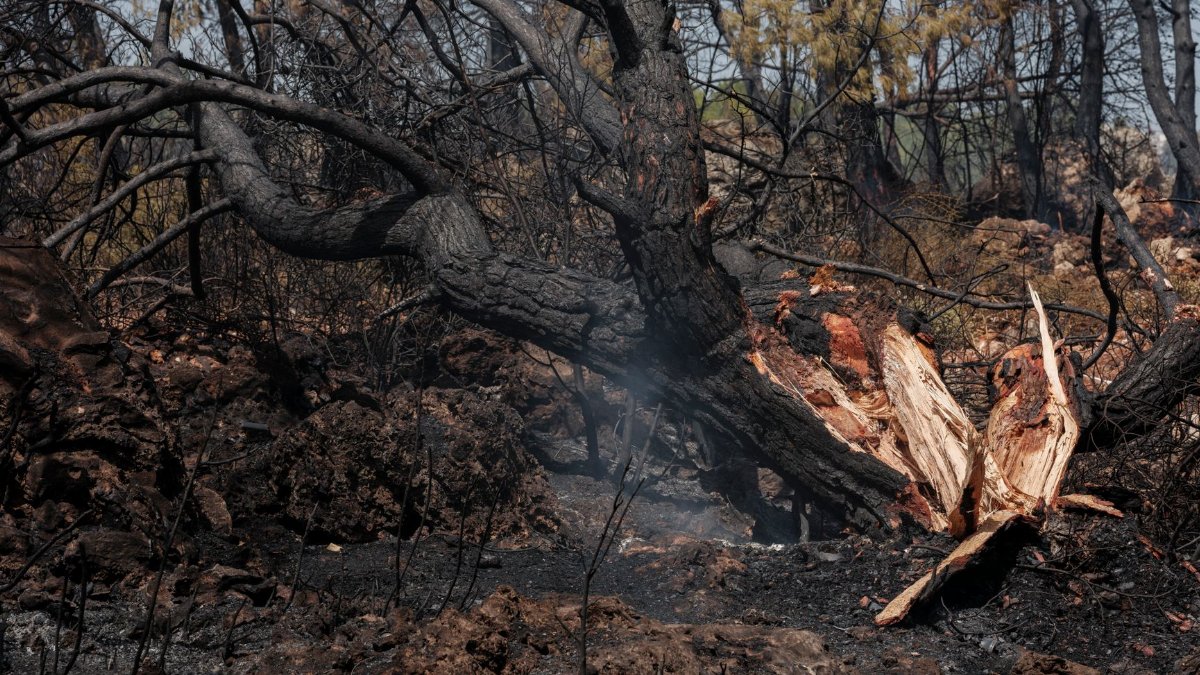
On a ridge above a blackened drainage in the Sierra, the wind moves through trunks that no longer hold leaves. They knock together with a dry sound, more like bone than timber. For people who walk these slopes after fire and drought, the question is no longer only why so many trees died. It is where California dead trees go once the flames are out and the beetles have finished their work. The answer is scattered across mills, roadsides, power lines, biomass yards, and hillsides left to weather in place.
A forest that looks alive from a distance
From a highway, a stand of gray pines can still suggest a forest. Up close, the bark is loose, the needles are gone, and the roots no longer hold the soil with any confidence. Foresters call many of these stems hazard trees when they stand near camps, trails, or lines that carry electricity. Ecologists call them snags, and they note that dead wood is not waste in a living system. Both descriptions can be true at once. A tree that threatens a road can also be habitat for woodpeckers, insects, and the fungi that return nutrients to the ground.
That double identity is why removal is never a single decision. Crews mark some trees for cutting because they lean toward a cabin or a transmission corridor. They leave others because the slope is too steep, the volume is too great, or the ecological cost of taking them out would exceed the safety gain. The public often sees only the cut trunks stacked beside a highway and assumes a plan is already in motion. Often the plan is still being argued.
How the losses accumulated

California has lived through a long sequence of stress. Years of drought weakened conifers. Bark beetles found trees that could not produce enough resin to repel them. Large wildfires then burned through stands already thinned by insects, and in some places they killed trees that had survived the first wave. The U.S. Forest Service and CAL FIRE have described these overlapping pressures in public briefings and on their program pages, including wildfire and forest health materials at fs.usda.gov and fire.ca.gov.
The geography matters. The Sierra Nevada holds much of the visible loss, but dead and dying trees also appear in Southern California mountains, along the coast ranges, and in foothill communities where oaks and pines meet subdivisions. A single county can contain federal land, state land, tribal land, and private parcels, each with different rules for cutting, hauling, and selling wood. A detective who wants to follow one log from stump to destination has to learn those boundaries before learning the market.
The advocate who started counting trucks
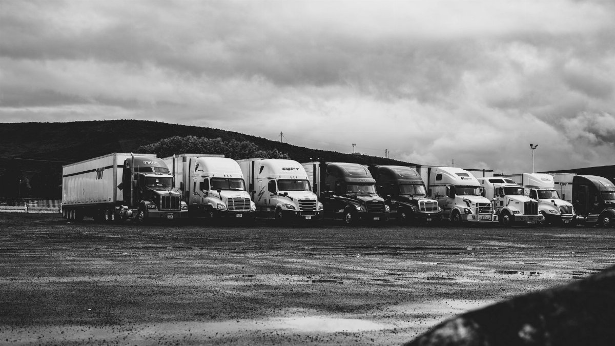
Some residents did not wait for a statewide inventory to satisfy them. They watched log trucks leave burned drainages and asked ordinary questions. Who hired the crew. Which mill took the load. Was the wood sold as lumber, chipped for energy, or dumped because it had no buyer. Those questions sound simple. They are not. Contracts sit with utilities, counties, timber operators, and federal districts. A load can change hands before it reaches a scale house.
People who take up that kind of watching often begin as hikers or neighborhood organizers. They learn to read paint marks on bark, to note the difference between a hazard removal and a broader salvage sale, and to ask for records that public agencies are required to keep. The work is closer to local reporting than to mysticism, even if the motivation is a felt duty to a place. What they find, again and again, is not a conspiracy so much as a bottleneck.
Mills that cannot absorb the volume

California no longer has the dense network of small sawmills that once stood near the woods. Remaining mills have specifications. They want logs of a certain size, species, and condition. Fire killed trees may be checked, stained, or too small. Beetle killed pines may have lost value by the time a crew reaches them. When a mill cannot take the wood, the economic case for careful removal weakens, even if the safety case remains.
That is one reason piles of California dead trees sit longer than residents expect. Hauling is expensive on mountain roads. If the sale price does not cover trucks, loaders, and insurance, operators look for closer outlets or they leave the material. Some wood becomes firewood. Some is chipped. Some is burned in piles under permits when air rules allow. None of those paths is automatic, and none of them scales easily to the miles of gray forest visible from a pass.
Biomass yards and the promise of energy
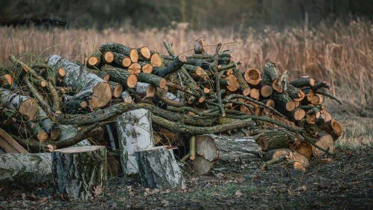
Biomass facilities can take material that lumber markets reject. Chipped wood can feed plants that generate electricity or heat, and some communities have explored smaller facilities meant to handle local hazard wood. The idea is attractive because it seems to close a loop. Dead trees become power, and power helps pay for removal.
The loop is fragile. Plants need steady supply, air permits, and customers for the electricity. Transport distance can erase the climate benefit if trucks travel far to reach a feeder. Neighbors sometimes oppose new facilities because they fear smoke, traffic, or a permanent industrial site in a rural valley. When a plant closes or runs below capacity, the wood has nowhere orderly to go. Advocates who track loads learn to treat biomass as one outlet among several, not as a solution that absorbs every stem.
Leaving wood where it fell
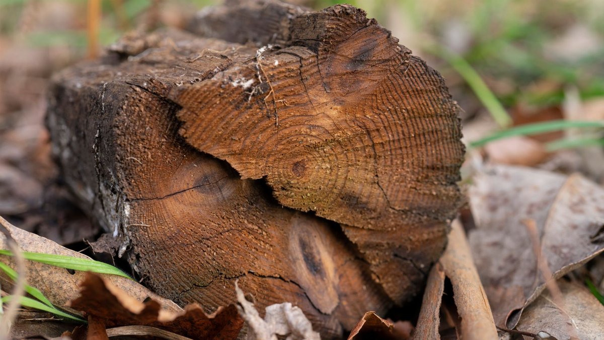
Not every dead tree should move. In remote country, standing snags and fallen logs hold slopes, shade seedlings, and store moisture. Birds excavate cavities. Small mammals use the cover. Scientists who study post fire forests, a phrase better rendered as forests after fire, have long argued that dead wood is part of recovery rather than a failure of recovery. Removing too much can compact soil and simplify a habitat that was already simplified by flames.
The difficulty is drawing the line. A snag far from people can be an asset. The same form beside a trailhead can be a liability within a few seasons, as roots decay and wind finds leverage. Land managers try to sort those cases with inspections and priority maps. Residents living under the canopy do not experience the sort as a neat category. They experience a tree that might come down in the next storm, and they want a date, a crew, and a destination for the wood.
Roads, wires, and the first cuts
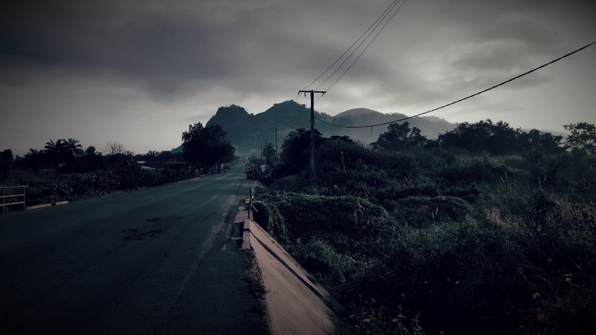
Utilities and road agencies often move first. A dead pine over a distribution line is not a philosophical problem. It is an outage and a fire start waiting for wind. Crews clear corridors, stack wood, and move on to the next span. That work is visible, and it accounts for many of the fresh cuts people photograph. It does not account for the trees a mile off the right of way.
Those interior stands wait on funding, environmental review, and access. A steep slope may require cable systems or helicopters if anyone insists on removal. Most projects cannot pay for that. So the forest keeps its dead in place, and the public argument shifts from disposal to risk. How close is close enough to treat. How long can a hazard mark stay on a trunk before the work is done. People who follow the trucks also follow the unanswered work orders.
Carbon, smoke, and the ledger no one agrees on

Dead wood is also a carbon story, and the story does not fit on a bumper sticker. Standing dead trees release carbon slowly as they decay. If they burn in a later wildfire, the release is faster and the smoke reaches towns. If they are milled into lumber, some carbon stays in boards for decades. If they are burned for energy, the accounting depends on what power source they displace and how far the chips traveled.
Reasonable people weigh those paths differently. Some emphasize immediate safety and the chance to use wood before it becomes fuel for the next fire. Others emphasize soil, wildlife, and the risk that salvage becomes a reason to log more widely than hazard requires. A journalist can report both claims without pretending the chemistry settles the politics. The ledger changes with distance, species, and whether the alternative is a severe fire or a quiet decade of decay.
Towns living with the gray edge

In foothill communities, California dead trees are not an abstract inventory. They are the view from a kitchen window and the reason a homeowner calls a tree service before winter wind. Insurance questions follow. So do arguments at county meetings about who pays when a hazard tree stands on federal land above private roofs. Local crews can be skilled and still be outmatched by the number of stems.
There is also a quieter cost. People who chose these places for shade and birds now look at bare crowns and feel the place has been altered in a way that money does not restore quickly. That feeling is not a substitute for data, but it explains why some residents become persistent questioners. They want to know the fate of the wood because the fate of the wood is tied to whether anyone is still responsible for the hillside.
Records, contracts, and what can be known

A careful inquiry starts with documents. Timber sale notices, utility vegetation contracts, county hazard programs, and transport receipts can show where some loads go. They rarely show everything. Private land sales may be harder to see. Informal firewood cutting leaves little paper. Pile burning may be recorded as a permit rather than as a volume of wood removed from the landscape.
Still, the partial record is useful. It reveals which facilities are actually receiving material this season, which roads are carrying the weight, and which projects exist mostly as announcements. Advocates who share those findings with neighbors do a public service when they distinguish what they have seen from what they suspect. The distinction keeps the story trustworthy.
What a better path would require
No single mill, plant, or rule will clear the backlog. A more coherent path would match removal to real risk, keep more small and medium logs close to local users, and fund the unglamorous work of assessment. It would also protect places where dead wood should stay. That combination asks agencies to say no as clearly as they say yes, and to publish destinations so residents can see whether a cut tree became lumber, chips, or ash.
Workforce matters as much as policy. Falling, bucking, and hauling on burned ground is dangerous skilled labor. If those crews are scarce, even a funded project waits. Training and steady contracts do more for the gray forest than another round of vague promises about using every tree.
The question that remains on the ridge
Stand again among the knocking trunks and the question returns in a simpler form. Where are California dead trees going. Some are going to mills that can still use sound logs. Some are going to chip piles and energy plants. Some are going into community firewood. Many are going nowhere, because nowhere is the only option the slope and the market allow. A smaller number are going into the slow work of a forest rebuilding itself.
The advocate turned questioner does not need a dramatic reveal to justify the search. The value is in the map, incomplete as it is. When people can see the routes, they can argue about the right ones. They can ask a utility why a corridor was cleared and a hillside was not. They can ask a mill what it will take and what it will refuse. They can ask a land manager which snags are habitat and which are hazards with a deadline. Those are civic questions, and they begin with the willingness to follow a log past the viewpoint and into the record.
The trees will not wait for a perfect system. Decay and wind are already deciding some fates. The rest is still a human choice, made in contracts, budgets, and the stubborn habit of looking closely at what leaves the mountain.