
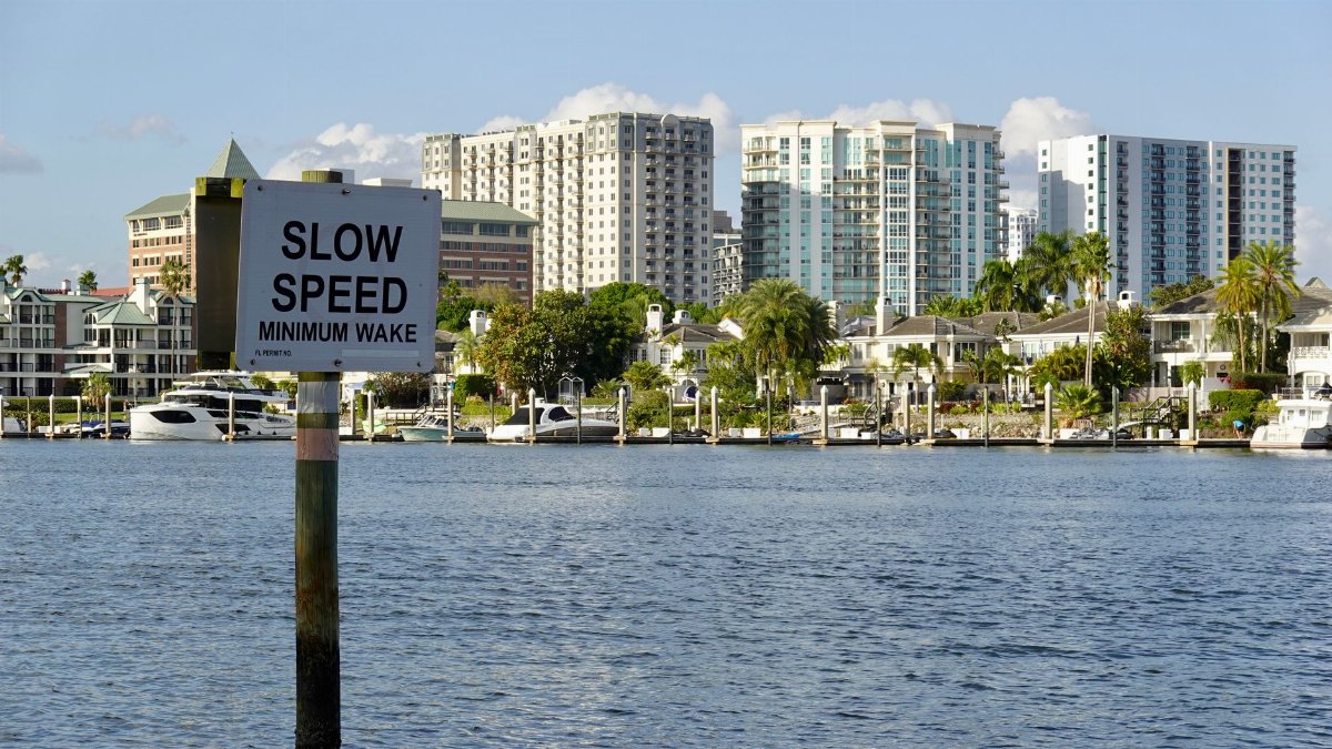
In the calm expanse of the Gulf of Mexico residents along Florida west coast began their day with updates from weather services about a developing system that promised to alter local routines. Forecasters noted the arrival of a tropical depression on July 19 bringing prospects of prolonged rainfall and rising waters that could test preparations in areas like Tampa Bay. The situation unfolded quietly at first yet carried implications for daily commutes outdoor plans and emergency responses across several counties.
Origins of the Weather System in the Gulf

The tropical depression emerged from a cluster of thunderstorms that organized over warm sea surfaces where moisture and wind patterns converged. Meteorologists traced its path from initial disturbances near the Yucatan Peninsula northward into the central Gulf. This formation aligned with seasonal patterns seen in past years when similar setups led to increased precipitation along the Florida peninsula. Observations from satellites and buoys confirmed steady strengthening as the center drifted closer to the coastline.
Potential Rainfall and Flood Concerns for West Florida

Heavy downpours associated with the tropical depression raised alarms for flash flood watches in low lying neighborhoods around Tampa Bay. Rainfall totals could reach several inches over a short period turning streets into temporary rivers and overwhelming drainage systems. Local officials urged residents to clear gutters and review evacuation routes in vulnerable spots. Past events have shown how quickly such conditions escalate when the ground is already saturated from earlier summer showers.
Impacts on Tampa Bay Communities and Daily Life
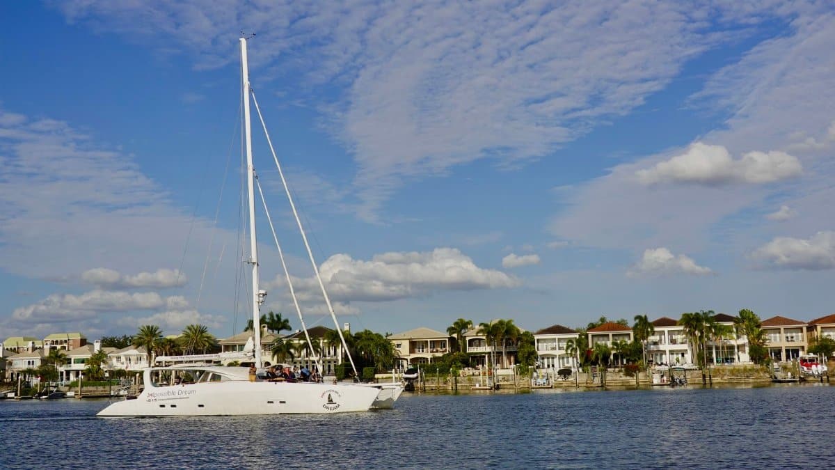
Businesses in the Tampa Bay area prepared for possible closures as the tropical depression approached with forecasts of gusty winds and reduced visibility. Schools considered adjustments to schedules while families stocked essentials like bottled water and batteries. The mood among longtime locals reflected a mix of caution and familiarity since similar systems visit the region each season. Transportation hubs monitored flight and ferry operations for delays that might ripple through the weekend.
Historical Context of Similar Gulf Formations

Records indicate that systems like this tropical depression have influenced Florida weather on multiple occasions leading to memorable wet periods in July and August. Comparisons to earlier decades highlight how improved tracking technology now provides days of advance notice allowing better coordination among agencies. Communities have adapted by investing in infrastructure upgrades that mitigate some of the worst effects though challenges remain in older sections of cities.
Role of Forecasters and Emergency Planning

Teams at the National Hurricane Center worked around the clock to update projections for the tropical depression as data streams arrived from aircraft reconnaissance. Their briefings emphasized the difference between a depression and stronger storms while stressing the importance of heeding local advisories. Emergency managers in Pinellas and Hillsborough counties activated coordination centers to share resources and information with the public through multiple channels.
Broader Effects on Regional Environment and Wildlife
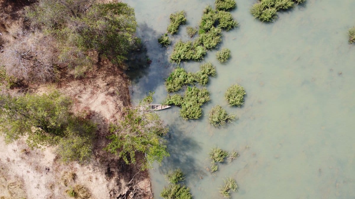
Beyond human concerns the tropical depression could stir coastal waters affecting marine life and shore birds that rely on stable conditions during nesting seasons. Increased freshwater runoff might temporarily alter salinity levels in bays and estuaries with ripple effects through the food chain. Environmental groups noted that such events though disruptive also replenish wetlands in ways that support long term ecological balance.
Public Response and Community Resilience

Residents shared tips online and in neighborhood groups about securing outdoor items and checking on elderly neighbors as the tropical depression neared. Stories from previous encounters underscored a collective resolve to support one another through inconveniences like power outages or road closures. Local churches and community centers opened as potential gathering spots offering a sense of connection amid uncertain skies.
Looking Ahead After the System Moves On

Once the tropical depression passes attention will turn to recovery efforts including assessments of drainage performance and any needed repairs to public spaces. Officials plan reviews to refine future responses drawing lessons from real time experiences. For many the episode serves as a reminder of the dynamic forces that shape life in a coastal state where weather remains a constant companion.