
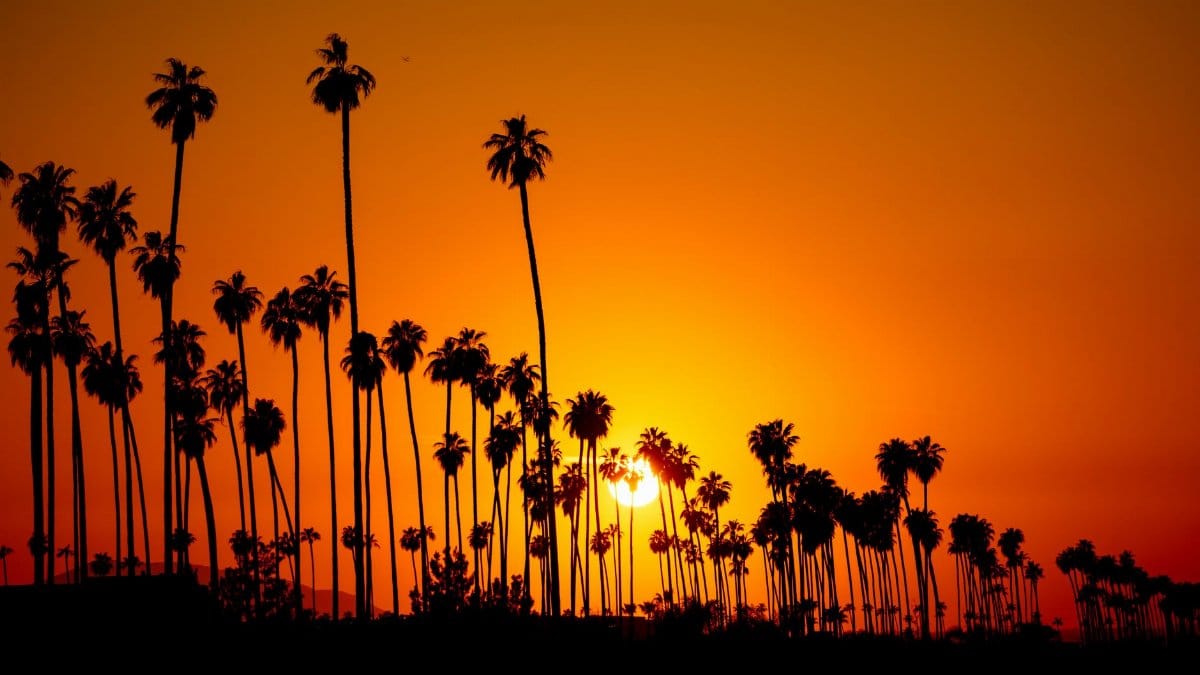
Residents from San Diego to the Imperial Valley spent the week refreshing forecasts, texting relatives, and pulling patio chairs under cover. The system drawing their attention carries a name that still sounds unusual on this coast. Tropical Storm Rachel SoCal is the phrase neighbors are using as they trade screenshots and ask whether Sunday will bring a soaking or something more disruptive. Officials expect flooding and strong winds near the border between California and Mexico as early as Sunday. For a region shaped by drought, fire season, and the occasional atmospheric river, a tropical name changes the tone of ordinary weekend planning even before the first heavy band arrives.
Why a tropical name lands differently here

Southern California is not a stranger to violent weather. Winter storms can close highways in the mountains. Summer monsoons can turn desert washes into sudden rivers. What feels new is the vocabulary. A tropical storm suggests a warm core, broad moisture, and a track that meteorologists watch hour by hour as it moves north from Mexican waters. Readers who grew up with East Coast hurricane coverage sometimes assume the same script applies. It does not. The Pacific systems that reach this latitude are often weakening, sheared by wind aloft, or transitioning into ordinary rainmakers. The danger can still be real. It simply arrives in a different costume, more flood than eyewall, more mud on a canyon road than boards on a beach house window.
The border as the first stage
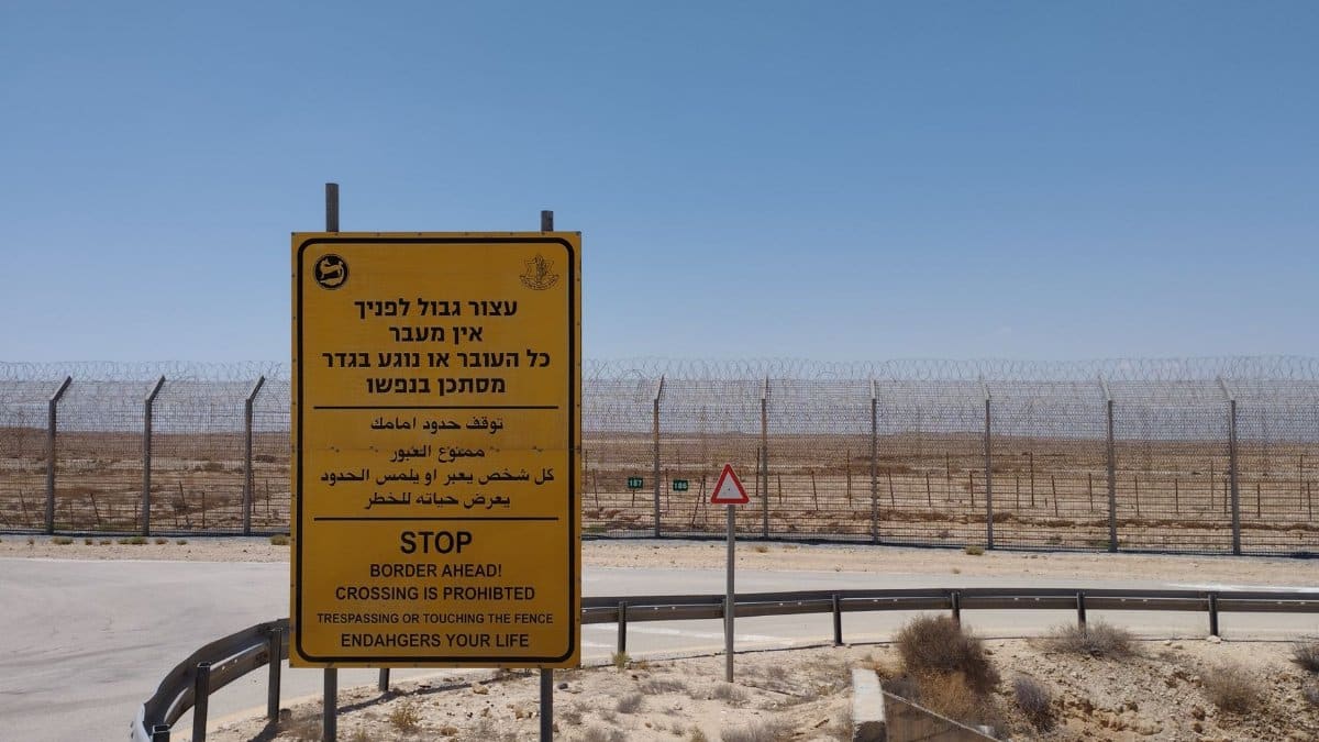
The earliest effects are expected closest to the international line, where terrain, cities, and sparse desert sit within a short drive of one another. Tijuana and San Diego share air, watersheds, and family networks. A forecast that mentions the border is not an abstract line on a map. It is a commute, a clinic visit, a Sunday market. When rain falls hard on hills that burned in recent seasons, soil can move. When it falls on pavement that rarely sees a true tropical plume, drains fill faster than people remember. Emergency managers on both sides of the line tend to watch the same satellite loops and then translate them into very local advice: which underpass floods, which arroyo should be treated as closed, which neighborhood loses power first when wind finds old poles.
Flooding before wind in the public mind
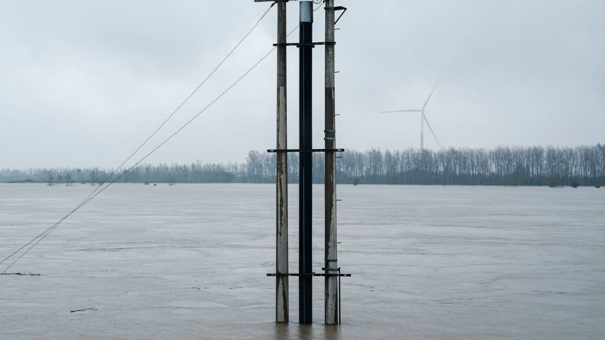
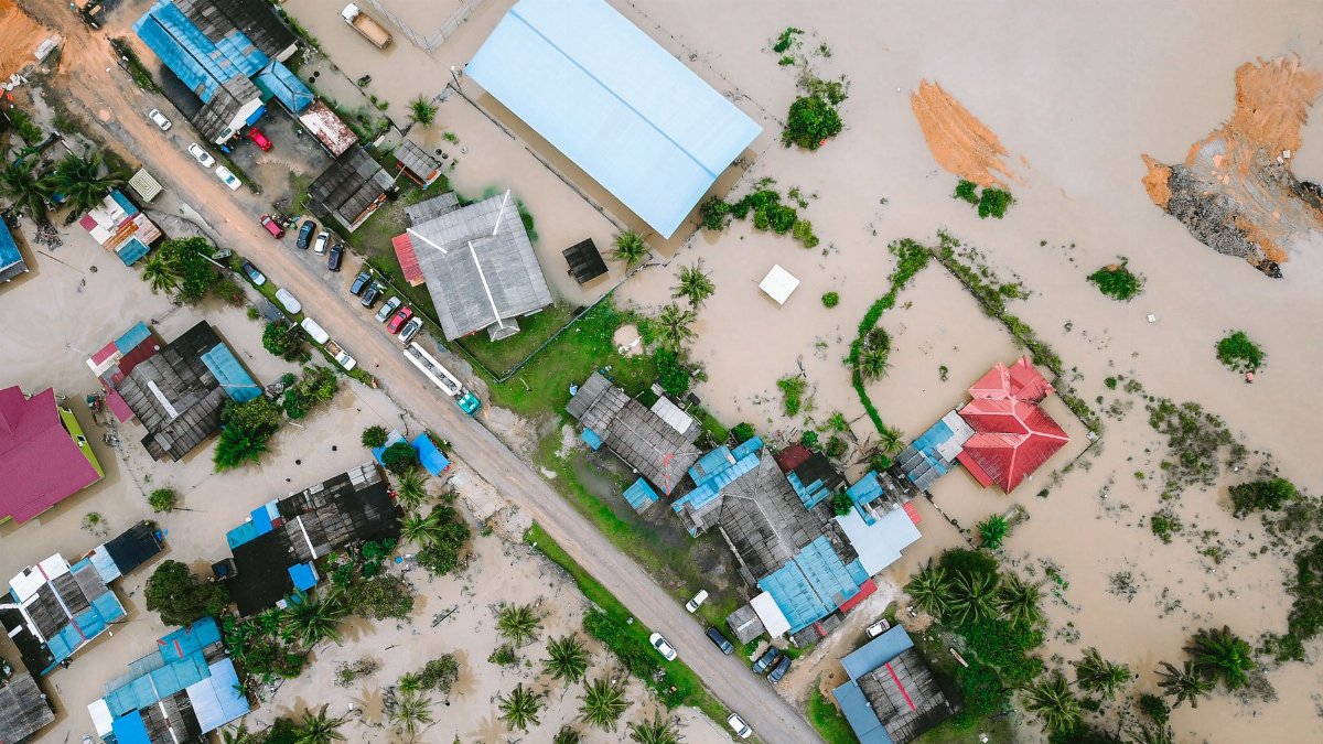
In briefings this week, the emphasis has fallen on water. That ranking matches how these Pacific approaches usually behave once they near the coast. Wind can knock down limbs and scatter patio debris. Rain, if it trains over the same slopes for hours, writes the larger story. Urban flooding is not only a rural canyon problem. A few inches in a short window can stall cars on familiar boulevards, cover rail crossings, and push dirty water into ground floor shops. The National Weather Service office that covers much of the region posts updates at weather.gov, and local offices urge people to treat rising water on a road as a stop sign rather than a puzzle to solve with a larger vehicle. Forecasters have not asked the public to imagine a classic hurricane landfall. They have asked people to respect ordinary streets that can become channels.
What Sunday might actually feel like

Timing remains the slippery part. Tropical moisture does not always arrive as a single dramatic front. It can show up as bands, pauses, and a second pulse after people have already decided the worst is over. If the core or its remnants brush the border as early as Sunday, Saturday night may already feel different: heavier clouds, a wind that does not match the usual sea breeze, and radar that fills in from the south. Beaches may look dramatic and still be a poor place to stand. Mountain roads that seem fine at dawn can be compromised by afternoon. The honest forecast language is conditional. A shift of fifty miles in track can mean a soaking for one county and a glancing shower for the next. That uncertainty is not evasion. It is the nature of a storm still organizing over warm water and then meeting cooler coastal air.
Tropical Storm Rachel SoCal and the rumor mill
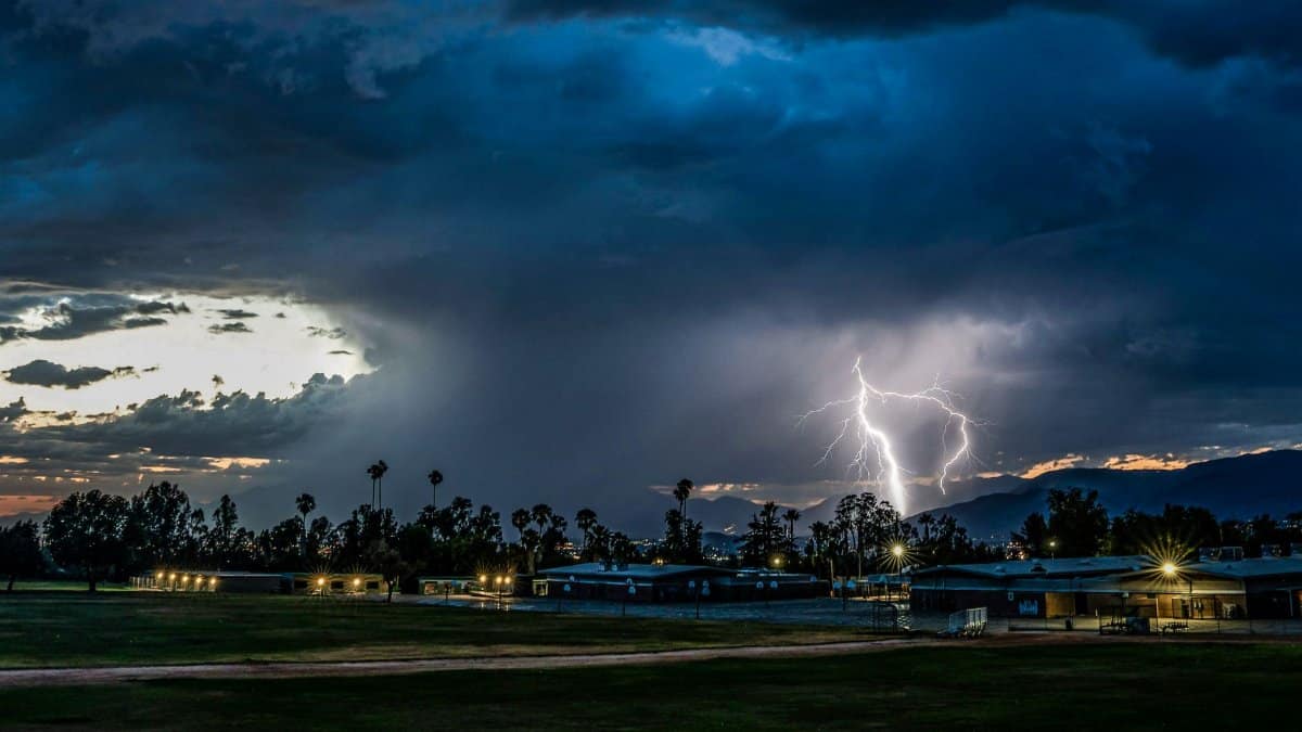
Social media has already done what it always does with a named system. Screenshots circulate without time stamps. A model image from one run is treated as a promise. Tropical Storm Rachel SoCal becomes a caption under maps that a professional forecaster would never post alone. The useful habit is dull and worth repeating. Check the time on any graphic. Prefer the latest discussion from the weather service over a viral still. If a post names a rainfall total with cinematic certainty days in advance, treat it as entertainment. Impacts near the border can be serious without matching the worst frame in a group chat. Panic shopping is a poor substitute for clearing a drain and moving a car off a low street.
Power, trees, and the ordinary grid
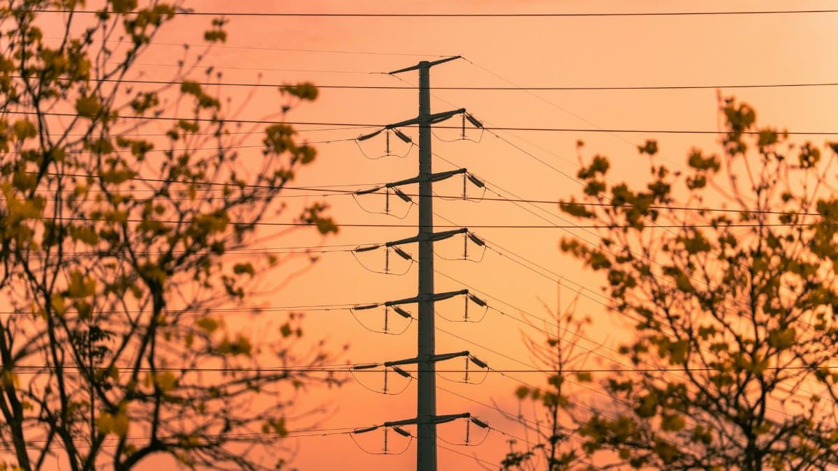
Wind forecasts for a weakening tropical system rarely sound like the language used for a major hurricane. They can still matter. Eucalyptus and palm, common along the coast, drop heavy limbs when soil is wet and gusts arrive from an unusual direction. Older neighborhoods with overhead lines feel that first. Utilities typically pre position crews when confidence rises, but restoration is slower if access roads are flooded. Residents who depend on medical devices, refrigerated medicine, or well pumps should assume a few hours without power is plausible and plan accordingly. That is not alarmism. It is the same courtesy people extend to a winter windstorm, applied to a weekend that was supposed to be ordinary.
Deserts, mountains, and the rain shadow myth
A common local belief holds that anything tropical dies at the coastline and never reaches the inland empire or the deserts. History disagrees often enough to retire the myth. Moisture can surge through mountain passes. Thunderstorms can fire on desert slopes even when the beach looks merely gray. Burn scars in the San Gabriel, San Bernardino, and peninsular ranges remain a special concern whenever heavy rain is in the discussion, regardless of whether the parent storm still carries a tropical label when it arrives. Debris flows do not require a famous hurricane name. They require steep ground, loose soil, and a burst of rain. People who live below recent fire footprints already know the drill: have a route, have a bag, and do not wait for a siren that may come late.
How communities actually prepare
Preparation in this region is less about plywood and more about water management and communication. Cities clear storm drains. Schools decide whether weekend events should move indoors. Transit agencies watch low crossings. Churches, mosques, temples, and neighborhood halls often become the quiet infrastructure of a storm weekend, not because the sky demands a sermon, but because those rooms already know who is elderly, who lacks a car, and who will need a dry floor if an apartment floods. That mutual aid is a civic fact as much as a spiritual one. In a category of news that often tracks belief and gathering, a storm weekend shows gathering at its most practical: phone trees, extra cots, and someone willing to check on a neighbor who does not scroll forecasts.
Travel plans and the border crossing

Sunday travel near the line deserves a second look. Crossings can slow when rain reduces visibility or when a fender bender blocks a lane that was already tight. Flights into San Diego and Tijuana are more likely to face delays from wind shifts and low clouds than from a shutdown of the whole coast. Hikers who planned desert trails should read the flash flood guidance before they treat a blue sky at the trailhead as permission. Boaters and paddleboarders should assume that an offshore swell and an onshore wind can disagree in unpleasant ways. None of this requires canceling every plan in Los Angeles. It requires matching the plan to the part of the map that will actually feel Tropical Storm Rachel SoCal, which may be a southern slice of the region rather than the entire megalopolis.
What officials want people to stop doing

The short list is familiar and still ignored. Do not drive into water of unknown depth. Do not gather on piers for photographs when surf is up and footing is slick. Do not treat a dry hour as proof that the event has ended. Do not rely on a single app notification if you live in a canyon or along a wash. Charge phones, keep a flashlight that is not your phone, and know how you would leave if a street became a river for twenty minutes. These steps sound small beside a storm name. They are the steps that change outcomes when the meteorology is only moderately unusual and the local drainage is not.
Memory of earlier Pacific visitors
California has met tropical moisture before, sometimes with tragic floods in the mountains and deserts, sometimes with little more than a gray weekend and disappointed surfers. Those memories should discipline both complacency and exaggeration. A system that weakens can still drop enough rain on a burn scar to move a hillside. A system that looks fearsome on a satellite loop can also fall apart and leave the border with gusty showers. Journalism that pretends to know the exact inch count days out is doing readers no favor. Journalism that pretends there is nothing to watch is worse. The responsible posture is attention without theater.
The climate conversation, kept in proportion
Readers will ask whether a warmer ocean makes names like this more likely on the Southern California coast. Scientists who study eastern Pacific cyclones say warmer water can supply more moisture and can influence how far north a storm survives, but each season still depends on wind shear, steering currents, and luck of track. One weekend does not prove a new era, and it does not disprove a trend. What residents can use immediately is narrower. If heavy rain is becoming a more frequent guest in a landscape designed for long dry spells, drains, insurance, and housing in flood paths matter more than a debate staged on social media while the radar fills in. The storm in front of people is a logistics problem first.
A weekend spent paying attention

By Saturday night, the useful question is local. Is my street low? Is my route across a wash? Does anyone in my household need power or a ride? Tropical Storm Rachel SoCal will be judged less by how dramatically it is named and more by whether people in the border counties treated Sunday as a day for caution. Flooding and wind near the California Mexico line can arrive early and unevenly. The rest of the southland may only see clouds and a reminder that the Pacific is not always gentle. That is enough reason to clear a gutter, check on a neighbor, and leave the dramatic photographs to someone standing on high ground.