
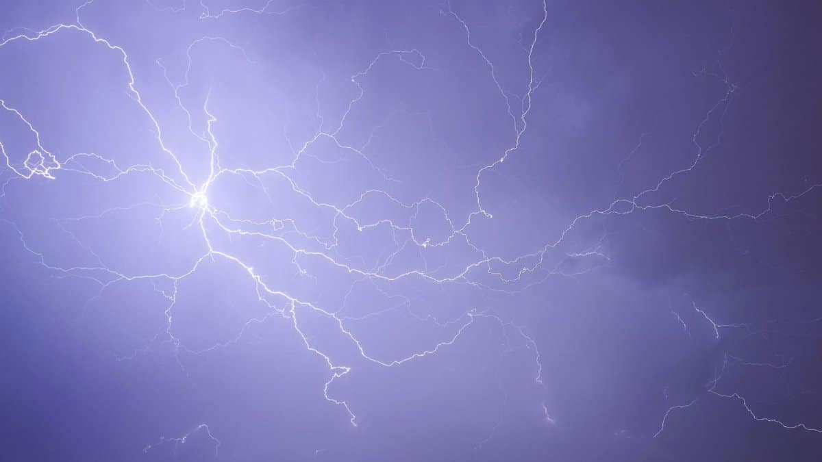
The skies over Philadelphia turned ominous on the first day of September as forecasters issued urgent alerts for severe weather mixed with oppressive heat. Residents braced for what the Philly severe storm forecast described as a potent combination of damaging winds and isolated tornado risks alongside a heat index pushing toward 100 degrees.
Regional Warnings Issued by Local Authorities
The National Weather Service office in Mount Holly released detailed advisories covering the greater Philadelphia area and surrounding counties. Officials highlighted the potential for strong thunderstorms capable of producing gusts that could down trees and power lines. Burlington County received a specific tornado warning that prompted immediate shelter instructions for those in the path.
Heat and Humidity Create Dangerous Conditions
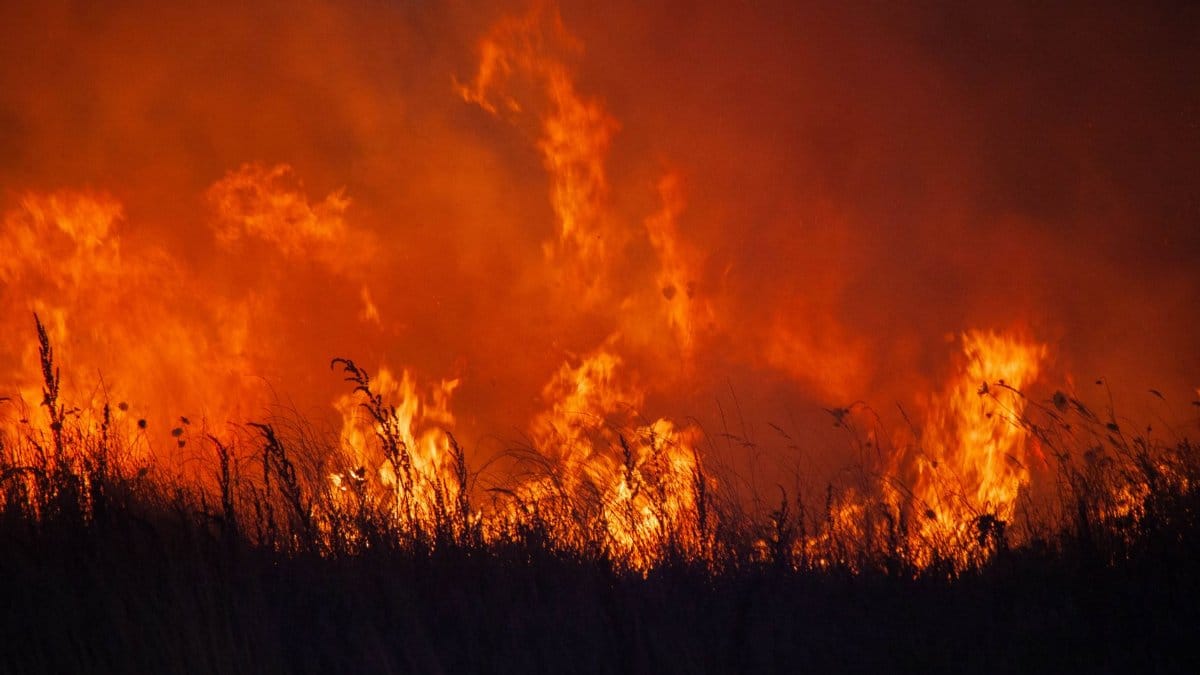
Temperatures climbed rapidly through the morning hours while moisture levels remained high. This pairing pushed the heat index into territory that felt far hotter than the actual air temperature. Public health messages urged residents to limit outdoor activity and check on elderly neighbors or those without air conditioning.
Impact on Daily Commutes and Travel

Morning rush hour saw delays on major routes as rain bands moved through. Flights at Philadelphia International Airport experienced temporary holds while ground crews managed lightning safety protocols. Commuters reported longer waits at bus stops and train platforms where shelters offered limited protection from sudden downpours.
Power Outages and Infrastructure Concerns
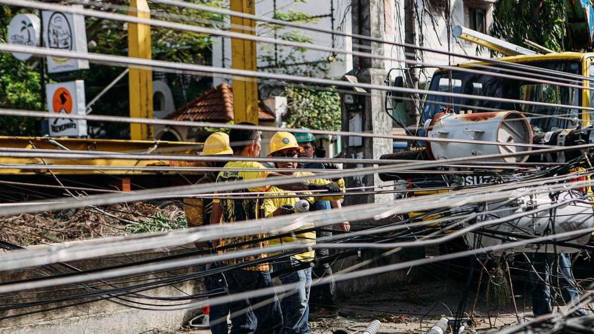
Utility crews stood ready as winds threatened to snap branches onto electrical lines. Past events have shown how quickly outages can affect thousands of households in suburban neighborhoods. Restoration priorities focused first on hospitals and emergency facilities before moving to residential blocks.
Community Response and Shelter Options
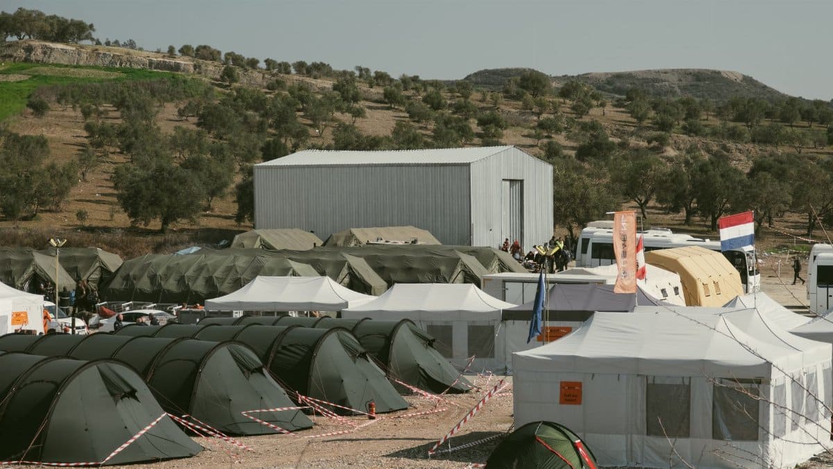
Local emergency management teams opened cooling centers in public libraries and recreation buildings. Volunteers distributed water and checked on vulnerable populations. Schools adjusted outdoor recess schedules while summer camps moved activities indoors to avoid heat related illness.
Historical Context of September Storms

September has brought notable weather events to the region in previous decades. Records show a pattern of late summer systems that combine tropical moisture with frontal boundaries. Meteorologists compared current conditions to similar setups that produced scattered damage in earlier years.
Preparation Advice for Households

Experts recommended securing loose outdoor items and charging electronic devices ahead of potential outages. Having a battery powered radio available proved useful when cell service faced temporary interruptions. Families reviewed basic safety steps such as staying away from windows during high winds.
Longer Term Climate Patterns

Broader atmospheric trends suggest that intense late summer events may become more frequent. Scientists continue to examine how warming oceans influence storm development and rainfall totals. Local planners have begun incorporating these projections into infrastructure resilience projects.
Economic Effects on Local Businesses

Retail locations saw shifts in customer traffic as people stayed home during peak storm hours. Restaurants with outdoor seating moved operations inside or closed early. Insurance adjusters anticipated an uptick in claims related to wind and water damage once the system cleared.