
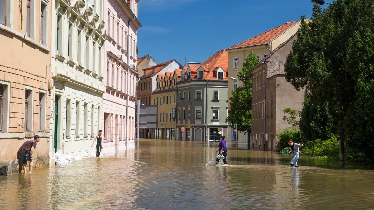
On a morning that looked borrowed from a travel brochure, the bay refused to stay in its place. Sun sat on the water. Joggers kept their usual line along the promenade. Then the tide kept rising, and SF Embarcadero flooding spread across pavement that had been dry enough for coffee cups and suitcase wheels. Ferry riders glancing down saw the usual sparkle, then an unusual shine on the walkway itself. The light stayed hard and clear. The problem was not rain. The problem was the ocean, on schedule, and a waterfront built a little too low for the calendar the bay now keeps.
A promenade that became a shoreline

People who walk this stretch know its ordinary moods. Ferry horns. Gulls working the air. The low rumble of traffic on the inland side of the palms. What they do not expect, under a clean sky, is bay water covering the path and darkening the base of lamp posts. That is what the peak of the tide produced. Sections of the promenade disappeared under a thin, moving sheet. Benches sat in it. Railings became the new edge of the water. A person could stand on dry concrete and watch the next slab turn dark, then glossy, then impassable.
Cyclists slowed and turned around. Parents lifted strollers toward the roadway. The flood was not a dramatic wall. It was a steady occupation of inches, which is how the bay usually wins on this shore. Inches are enough to close a walkway, soak a doorway, and make a familiar block feel provisional. The Embarcadero is built for movement, for the quick transfer from sidewalk to ferry to office. Standing water interrupts that choreography without needing a storm to do it.
Pier 14 and the path that stopped

Access to Pier 14 was cut off as the water took the approach. The pier is a small public reach into the bay, a place where people pause for the view back toward the city and out toward the bridge. On an ordinary clear day it is almost an afterthought, a spur off a much longer walk. When the approach floods, it becomes a lesson in how a waterfront fails: not all at once, but at the joint where land and structure meet.
From the dry side, the pier looked close and unavailable. That gap matters more than a photograph can quite say. Public space on the bay is a chain of connections. Break one link and the walk that residents treat as a right of way becomes a dead end. Workers who use the promenade as a commute, visitors hunting a viewpoint, and people who simply need a flat path all met the same limit. The city did not have to close the pier with a sign. The tide did the closing.
Sun without shelter from the tide
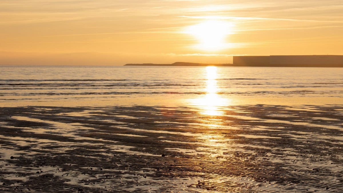
Sunny day flooding unsettles people because it violates a folk rule of weather. Rain is supposed to be the villain. A blue sky is supposed to mean the pavement is yours. Along this waterfront the relevant forecast is often the tide table, not the chance of showers. When a king tide arrives with fair weather, the mismatch is part of the shock. Cameras come out because the scene looks wrong, and because it looks beautiful in a way that is hard to trust.
The beauty is not trivial. Light on shallow water over concrete can be striking. It is also a poor guide to risk. A flood that photographs well can still shut a business entrance, corrode metal, and leave a slick that lasts after the shine is gone. The clear morning made the event easier to see and harder to dismiss as a storm oddity. No one could blame a downpour that never came.
King tides and a bay on a high calendar
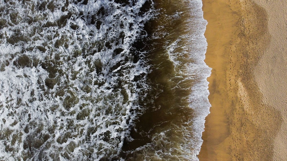
King tides are the very high tides that arrive when the gravitational pull of moon and sun lines up and the local cycle of the bay is already running high. They are predictable. Mariners and harbor workers have lived with them for generations. What has changed is the margin between those peaks and the top of the public edge. A tide that once kissed a seawall can now step over it.
Reports on this round described a record high tide, the kind of peak that turns a known nuisance into a broader interruption. SF Embarcadero flooding in that setting is less a surprise to engineers than to the person who planned a waterfront walk between meetings. Predictable does not mean harmless. A calendar you can print still floods a street if the street sits inside the reach of the highest lines on that calendar.
What the morning asked of people nearby
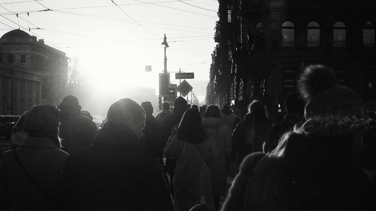
The human response was mostly practical. People rerouted. Some laughed, because the sight of bay water in a place reserved for shoes is absurd until it is not. Others looked annoyed in the specific way of a city that runs on timing. A missed ferry connection, a soaked cuff, a delivery that cannot reach a door: none of these is a disaster on its own. Together they describe how climate risk first arrives in a dense place, as friction.
I stood back from the wet line longer than I meant to, not for a metaphor but because the usual path was simply gone. That small hesitation is the whole story in miniature. A waterfront promised as open civic space becomes conditional space. You may use it if the moon, the season, and the height of the wall agree. On this morning they did not.
A waterfront measured in inches

San Francisco’s northern edge is a negotiated line. Fill, seawall, piers, and roadway were assembled across more than a century to make a working harbor and, later, a public promenade. The bargain was always with the bay, and the bargain assumed a range of water levels that now looks narrow. Sea level rise does not need to be dramatic in a single afternoon to matter. It lifts the floor under every high tide.
That is why images of SF Embarcadero flooding travel so quickly. They compress a slow geologic and engineering story into a scene a commuter can understand. The roadway may stay open while the walkway fails. Shops may stay dry while the public path does not. The unevenness is the point. Adaptation is not a single switch. It is a series of elevations, drains, and decisions about which inches the city chooses to defend first.
Plans, pumps, and the slow work of raising a city
City and port planners have spent years talking about this waterfront as a place that must be rebuilt for higher water, not merely patched after each wet winter. Seawall strengthening, raised edges, and redesigned public spaces are the language of that work. None of it is quick, and none of it is only technical. Raising a promenade means arguing about views, access, historic piers, cost, and who pays for a shore that serves both residents and the regional economy.
A flooded morning does not design a seawall. It does clarify the cost of delay in terms people can feel with their shoes. Pumps and temporary barriers have a role when water is already at the door. They are not a substitute for a higher, more resilient edge. The Embarcadero is too long, too public, and too economically active to be managed as a series of emergency towels. The durable response is construction, and construction on a historic shoreline is slow by nature.
The cost of treating this as a rare photograph

There is a temptation to file the scene under spectacle. Share the picture, note the oddity of sun and flood together, and move on when the pavement dries. That habit is understandable and incomplete. Repeated king tide flooding is a trend wearing the costume of an event. Each clear morning that goes wrong trains the public to see the bay as a visitor rather than as a system already inside the city’s elevations.
The practical costs add up away from the camera. Salt water is hard on concrete, metal, and electrical gear. Closures complicate ferry access and waterfront business. Emergency responses, even modest ones, pull attention from other work. If SF Embarcadero flooding becomes a seasonal expectation rather than a headline, the city will still need a plan that treats the expectation as design criteria. Wonder is not a maintenance strategy.
What remains when the water slips back

When the tide falls, the promenade does not instantly return to innocence. There is a film of salt, a darker stain, a scatter of debris the bay borrowed and returned. People resume the walk. The pier approach opens again. The postcard look comes back, which is part of why the risk is easy to underestimate. Recovery can look like nothing happened.
What remains is the knowledge that a sunny day is no longer a guarantee along this edge. SF Embarcadero flooding showed a city its own margin, measured not in speeches but in a blocked pier and a promenade briefly claimed by the bay. The next high tide is already on the calendar. The open question is whether the walkway, the pier, and the people who depend on them will meet it at the same height, or at a height chosen with this morning in mind.