
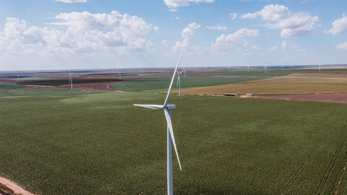
By late morning the flags along a stretch of highway north of Dallas were already snapping hard enough to make the poles sing. Drivers eased off the accelerator without quite knowing why, the way people do when the air itself starts to shove. Forecasters had spent the week warning that North Texas 40 mph wind gusts would arrive with a cooler push of air, a sharp change after days that felt more like early summer than the calendar allowed. The shift is ordinary on paper and startling in the body, the kind of weather that rearranges errands, ball games, and the simple decision to leave a window cracked.
A front that arrives as a shove, not a drizzle
The story of this Friday is less about rain than about motion. A cooler air mass is sliding in behind a boundary that has been drifting across the southern Plains, and the pressure difference on either side of that boundary is what puts the wind to work. In North Texas that often means a dry northwest or north flow once the boundary clears, gusty enough to rattle loose patio furniture and send plastic bags skating across parking lots. Temperatures fall from the uncomfortable highs of recent afternoons into something closer to seasonal, which is welcome, even if the welcome comes with a shove.
Meteorologists at the National Weather Service office that covers the Dallas Fort Worth region have framed the day as breezy to windy, with the strongest bursts likely in the afternoon when mixing in the lower atmosphere is deepest. That mixing is a plain idea with a physical bite. Sunlight warms the ground, warm bubbles of air rise, and faster air from just above the surface is tugged downward in exchange. The result at street level is not a steady breeze but a series of punches. People feel those punches as North Texas 40 mph wind gusts even when the sustained wind, the number that sits on a weather app for hours, looks merely brisk.
Why forty miles an hour is the number that sticks
Forty is a threshold people remember because it is where ordinary objects start to misbehave. Empty trash carts roll. Lightweight canopies at youth sports fields lean and then fold. High profile vehicles on open stretches of interstate feel a lateral tug that is more than a nuisance and less than an emergency, which is exactly the zone where attention slips. Insurance adjusters and roadside assistance dispatchers know the pattern. A day like this rarely produces a single dramatic headline. It produces a scatter of small losses: a fence panel, a branch through a windshield, a trailer that was not quite chained.
Sustained winds in the twenties with gusts near forty are common enough in the southern Plains that residents treat them as background. That familiarity is useful until it is not. The same gust that a pickup driver shrugs off can turn a motorcycle lane change into a correction, or lift a loose sheet of roofing on a house that already needed repair. The National Weather Service explains the distinction between sustained wind and gusts in its public forecast discussions, a useful primer for anyone who has ever wondered why the app and the flag disagree: https://www.weather.gov/wrn/wind
After a run of heat that felt out of season
The wind would be easier to ignore if the week before it had been mild. It was not. Afternoons across the metroplex climbed well above what late season norms suggest, the kind of heat that keeps air conditioners cycling and makes school pickup lines feel like July. A cooler Friday therefore reads as relief first and hazard second. That order of attention is human and slightly dangerous. People open windows, plan cookouts, and assume the day has gotten simpler because the temperature dropped. The air has gotten simpler only in one dimension.
Heat also dries the fine fuels that wind loves. Lawns may still look green in watered neighborhoods, but roadside grass, construction lots, and the edges of pastures cure quickly after a hot stretch. When a dry north wind follows that curing, fire weather becomes part of the civic conversation even without a formal red flag headline. County fire marshals tend to say the same thing in different words: do not burn, do not flick, do not assume a spark will stay where you left it. The Texas A&M Forest Service tracks those conditions statewide and publishes daily outlooks that local departments actually use: https://tfsweb.tamu.edu/FireDanger/
Roads, bridges, and the physics of a crosswind
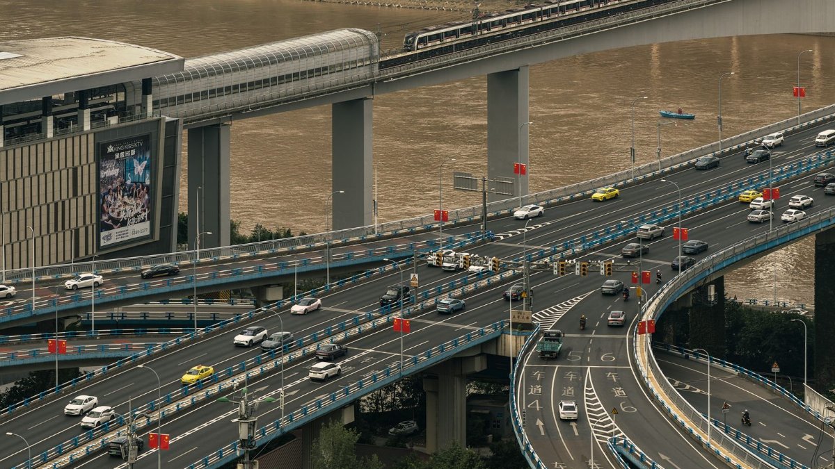
Open country north and west of the urban core is where this kind of day shows its teeth. Elevated roadways, long bridges, and the gaps between sound walls create corridors where wind accelerates. Truckers know the exits where an empty trailer becomes a sail. So do drivers of vans and anyone towing a small boat toward a lake that will be too choppy to enjoy. The safe adjustment is unglamorous. Both hands on the wheel, a wider following distance, and a refusal to treat a gust as a personal challenge.
Construction zones add another layer. Loose signage, unsecured plywood, and scaffolding netting are designed for ordinary afternoons, not for repeated bursts near the top of the forecast. Crews that start the day assuming a calm morning can be caught when the mixing deepens after lunch. The practical response is boring and effective: weigh down what can be weighed, postpone what can be postponed, and treat the forecast gust, not the morning calm, as the design condition for the shift.
Yards, trees, and the things people forget to tie
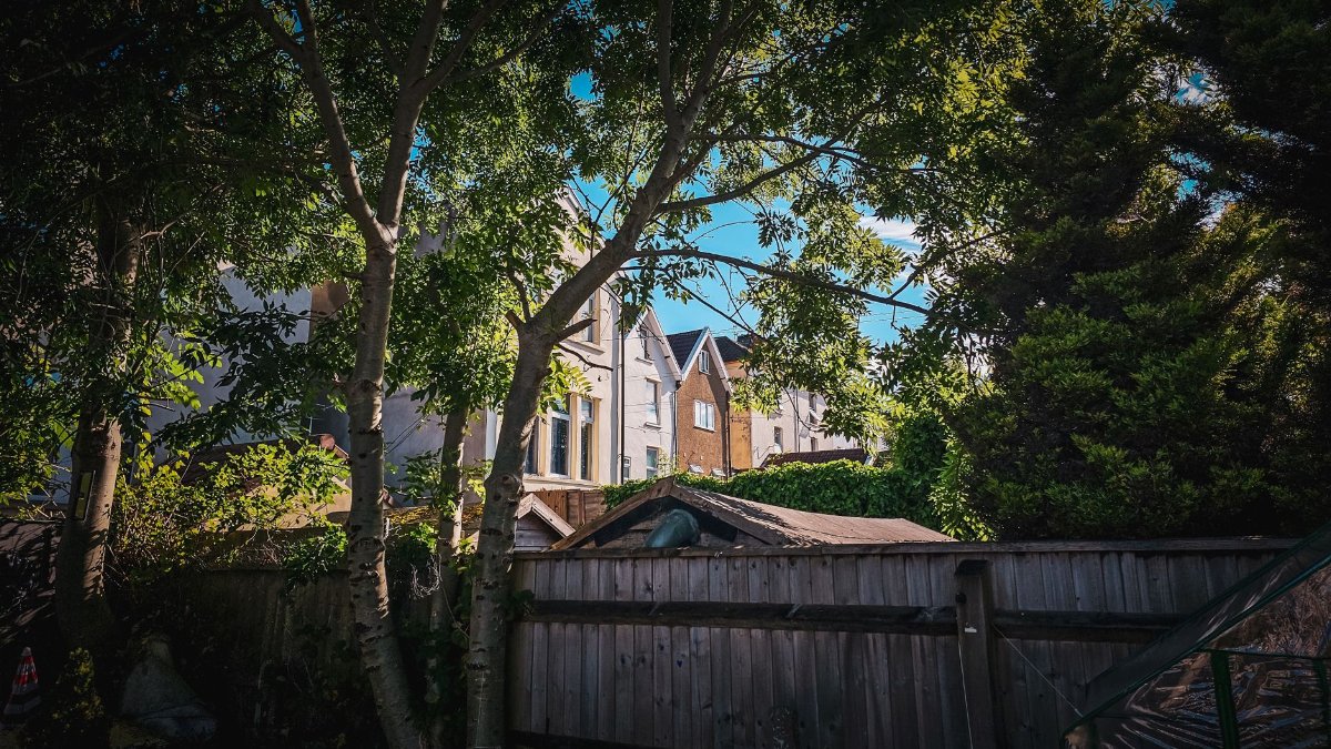
In neighborhoods the damage is smaller and more personal. A grill cover becomes a kite. A trampoline that was “fine all summer” walks across a lawn because the stakes were never meant for this. Live oaks and pecans drop limbs that were already cracked, and the wind merely finishes a decision the tree made weeks ago. Arborists in the region often note that wind events after heat stress produce more calls than wind events in cool, wet weeks, because drought and heat weaken attachments that still look solid from the sidewalk.
There is a modest ritual worth reviving on mornings like this. Walk the yard before leaving for work. Check the gate latch. Move the light chairs. Look up, not only around, because the branch that matters is usually the one already hanging by a strip of bark. None of this is dramatic. It is the difference between a story you tell later and a deductible you pay.
What the lakes and the fields will do with it
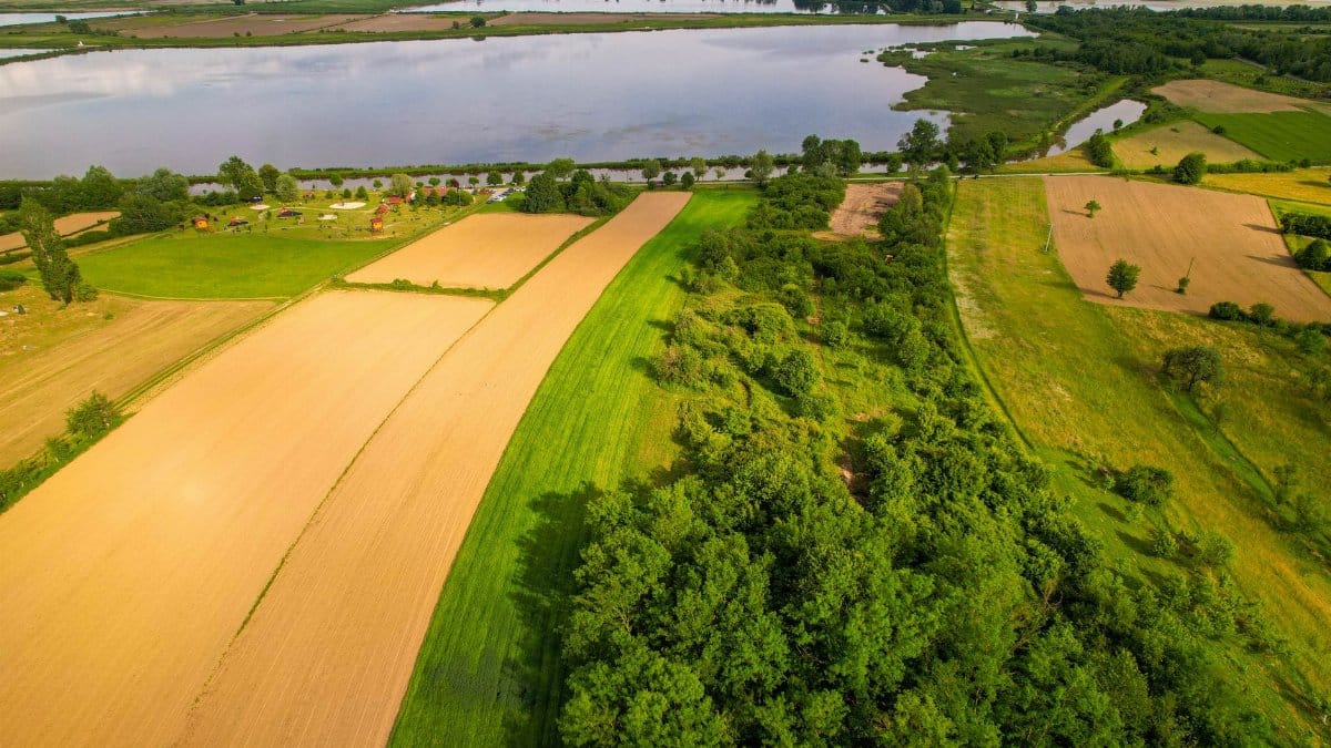
Recreation takes the hit in quieter ways. A north wind of this strength turns the larger reservoirs into short, steep chop that small boats handle poorly, especially when the fetch is long and the driver is used to glassy evenings. Youth soccer and baseball face a different problem: pop ups that drift, tents that become sails, and dust that turns a pleasant sideline into a squint. Coaches who have lived here long enough already have a rule. If the canopies will not stay, the game can wait, or it can be played without shade rather than under a structure that might leave the ground.
Gardeners feel it too. Freshly set transplants desiccate faster in wind than in still heat, because moving air strips moisture from leaves even when the soil looks damp. A cooler afternoon is not automatically a gentle one for anything newly planted. Water in the morning, stake what leans, and accept that a windy Friday is a poor day to judge whether a new bed “took.”
How a forecast becomes a neighborhood fact

One reason these days surprise people is the gap between a regional headline and a backyard. A forecast that says gusts up to 40 mph is a ceiling, not a promise that every block will feel the same shove. Sheltered streets in older neighborhoods with mature canopy can seem merely breezy while an exposed cul de sac on a ridge gets the full treatment. That variability is not a failure of the forecast. It is the forecast working at the scale it was written for, which is counties and hours, not fence lines and minutes.
Still, the phrase earns its repetition because it names the upper end that planners should respect. When North Texas 40 mph wind gusts are in the discussion, schools think about outdoor recess, airports think about crosswind components, and event producers think about whether a stage roof is a structure or a liability. The Dallas Morning News weather desk and local broadcast meteorologists translate that ceiling into plain schedules: when the push arrives, when it peaks, when it eases overnight. Readers who want the official wording rather than a paraphrase can start at the Fort Worth forecast office: https://www.weather.gov/fwd/
The night that follows a loud afternoon

Wind like this rarely holds its peak after dark. As the ground cools, the mixing that dragged faster air downward weakens, and gusts settle toward the sustained number. Temperatures often fall further than they did on the still, hot nights that preceded the front. Sleep improves. Allergies sometimes worsen, because the same flow that cooled the cities also moved pollen and dust across them. People wake to a quieter yard and a few surprises: a pot that migrated, a limb that did not survive the afternoon, a flag that wrapped itself into a knot no one will patiently undo.
Saturday, if the pattern holds in the way these patterns usually do, looks kinder. Lighter wind, cooler mornings, afternoons that feel earned rather than endured. The lesson of Friday is not that the region is in for a siege. It is that a single ordinary ingredient, moving air at the top of a routine forecast, is enough to reorder a metro area of several million if nobody bothers to respect it.
Reading the day without dramatizing it

There is a style of weather writing that turns every front into a character with motives. This one does not need the costume. A cooler air mass, a decent pressure gradient, dry grass after heat, and a landscape full of light objects: that is the whole plot. North Texas 40 mph wind gusts sit inside that plot as the number worth planning around, not as a prophecy of disaster. Most people will get through the day with nothing worse than a harder drive home and a yard that needs a second look.
The ones who do not are usually the ones who treated the number as color rather than instruction. Tie what moves. Delay what towers. Give high profile vehicles the lane and the distance they need. Leave the burn pile for another week. If the flags are already singing by late morning, believe them. They are ahead of the apps, and on a day like this they are rarely wrong about the size of the shove.