
Before sunrise on a side street near the Ship Channel, a night shift nurse sat in her car with the engine off and the windows cracked, watching the temperature on her phone climb from the low 80s toward another punishing afternoon. She was not looking for drama. She wanted to know whether the school pickup line would feel like an oven and whether her church’s Wednesday meal service should move indoors. That small, practical question is what the Houston 100-degree forecast has become for a lot of people here: not a spectacle, but a decision about bodies, bills, and whether the worst of the year is finally behind them.
A ninth day and a quieter September
Local forecasters have been treating Houston’s ninth day at or above 100 degrees as a possible closing note for 2026, not the start of another long run. After an eight day August streak that left pavement soft at the edges and turned errands into endurance tests, the computer guidance has shifted. Afternoon highs in early September are lining up in the 90s, still hot by any reasonable standard, still capable of straining power lines and patience, but no longer locked on the century mark.
That distinction matters in a city where a single degree can change how a forecast is read. Ninety seven feels awful. One hundred feels like a headline. The National Weather Service office in League City has spent the late summer explaining both the numbers and the nuance, and its public discussions remain the clearest daily brief for anyone trying to separate a hot week from a historic one. The office’s forecast pages, updated through the Houston Galveston weather site, are where many residents now start the morning.
What the models are actually saying

Ensemble guidance, the bundle of model runs that meteorologists prefer to a single dramatic map, has been keeping Southeast Texas in a late summer pattern rather than a renewed blast furnace. High pressure is still nearby, which is why the 90s are not going anywhere soon. Moisture from the Gulf is also nearby, which is why overnight lows refuse to fall into anything that feels like relief. The result is a forecast that looks milder only if you define milder as “not 100.”
Readers who want the longer climate context, rather than tomorrow’s icon, can compare this season with the national temperature archive kept by NOAA’s National Centers for Environmental Information. Those records do not predict Thursday. They do show why a run of triple digit days in Houston no longer surprises anyone who has lived through the last decade, and why a September that stays in the 90s can still rank among the warmer starts to fall on file.
Why the last century mark is hard to call
Calling any day the last 100 of the year is a bet, not a promise. Houston has produced late surprises before, including afternoons in September that jumped back over the line after a few milder days convinced people to put the beach towels away. Forecasters at the Houston Chronicle have framed this particular ninth day as likely the end of the streak, and their writeup is the piece many group chats are passing around: the local look at whether 100 degree weather is done.
I have learned, covering this city, to treat “likely done” as a useful phrase and a fragile one. A wind shift, a drier air mass, a ridge that rebuilds a little farther west than expected, and the number on the bank thermometer downtown can tick back up. The honest version of the Houston 100-degree forecast this week is therefore twofold. The most probable path is a string of 90s. The responsible caveat is that probability is not a lock.
Heat that stays after the sun drops
The daytime high gets the attention. The overnight low does the damage. When the air never falls below the upper 70s, and concrete and brick keep radiating what they stored at 3 p.m., sleep gets shallow, tempers get short, and people with heart disease, asthma, or no reliable cooling face a risk that does not show up in a cheerful weekend graphic.
Researchers have documented this urban effect for years. The Environmental Protection Agency’s summary of how cities trap heat, available at its heat island pages, describes a pattern Houstonians already know by feel: denser neighborhoods, fewer trees, more asphalt, warmer nights. A forecast that “only” reaches 96 can still be dangerous if the low is 80 and the humidity makes sweat useless. That is the part of September the models are not letting anyone forget.
Congregations reading the same maps

In a season when spiritual communities are usually planning fall programs, many Houston congregations are still running summer rules. Pastors and imams and volunteer coordinators check the same forecasts as coaches and plant managers. Outdoor revivals move under tents or indoors. Meal lines get water stations and earlier start times. Funeral processions shorten the walk from the church door to the car.
This is not metaphor. It is logistics with a moral edge. Several clergy members I have spoken with over recent summers describe extreme heat as a pastoral fact, the way a flood or a freeze is a pastoral fact. They do not need a new theology of temperature to know that an elderly member in a brick apartment with a weak window unit is their responsibility on a day the Houston 100-degree forecast still has a chance of verifying. Shade, rides, and a cool room are the sacraments of this particular week.
Who notices the forecast first

Office workers with adjustable thermostats experience a 94 degree day as an inconvenience at the parking garage. Roofers, letter carriers, refinery contractors, and people waiting for a bus on a treeless corner experience it as a shift in what the body can do. Children at afternoon practice feel it in a different way again, especially when coaches are still shaking off the muscle memory of August’s eight day run.
Public health guidance has been consistent even when the exact high wobbles. Limit midday exertion. Do not leave anyone in a vehicle. Check on neighbors. Those lines can sound like posters until you have stood in a grocery lot at 4 p.m. and watched someone argue with a stalled car. The forecast is a civic document as much as a scientific one, and it lands unevenly.
Gulf moisture, wind, and the number that will not fall
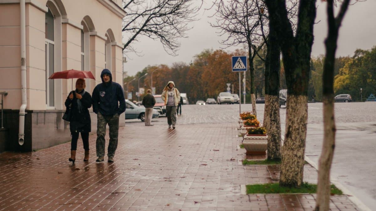
Houston’s heat is rarely the dry, sharp kind that desert cities advertise. It is a wet heat, fed by the Gulf, slowed by light winds, and trapped under a sky that looks harmless and blue. When the wind does pick up from the south, it can shave a degree or two off the peak and add a degree or two to the humidity. When it goes calm, the city bakes in place.
That is why a September outlook full of 90s should not be filed under relief. A high of 95 with a heat index well above that still rearranges the day. Parents still pack extra water. Landscapers still start before dawn. The question the models are answering is narrower than the question residents are asking. The models are saying the century mark is no longer the base case. Residents are asking whether the week will be survivable without heroics. Both questions are fair. They are not the same question.
How a city learns to read a softer number
There is a cultural habit, after a brutal August, of treating the first stretch of sub 100 afternoons as permission. Restaurants put tables back on the sidewalk. Youth leagues resume normal practice lengths. People who had been militant about hydration get casual again. Some of that is healthy. A city cannot live in emergency posture forever, and a forecast dominated by the 90s is, relative to the streak just ended, a step down.
Some of it is careless. The Houston 100-degree forecast may be fading from the top of the page, but the conditions that made nine such days possible have not left the map. Soil is dry in places. Reservoirs and lawns tell different stories depending on which suburb you visit. The electrical grid has held, which is worth saying plainly, and it has held because demand stayed high and operators planned for it, not because the weather turned gentle.
What to watch through the next several days

If you are scanning the week the way that nurse scanned her phone, watch three things more than the round number. Watch the overnight low, because recovery happens at night or it does not happen. Watch the heat index, because humidity is the part of Houston that the headline high likes to hide. Watch whether any afternoon is advertised as “near 100,” because near is how surprises begin.
The working expectation, repeated across local forecasts and echoed in the Chronicle’s assessment, is that September opens hot and short of the century mark. That is good news of a limited kind. It means the ninth day at 100 may stand as the last of 2026. It does not mean the season has released its grip. For congregations setting service times, for crews on metal roofs, for anyone whose cooling depends on a machine that is already tired, the Houston 100-degree forecast is becoming a less frequent visitor and a poor excuse to stop paying attention.