
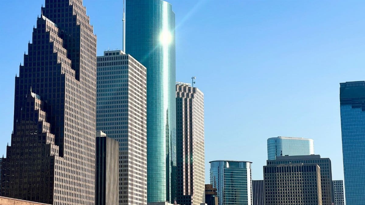
On a late September afternoon in Houston, the kind of light that usually signals a softer season still falls hard on parking lots and church steps. People check the forecast the way they check a closing time, hoping the number stays in the 90s. The city has already moved past the date when its last reading of 100 degrees typically arrives, and the phrase Houston 100 degree days has shifted from a summer drumbeat to a question about whether one more spike is still possible.
A calendar that no longer feels reliable
Houstonians know heat as a fact of life, not a surprise. What feels newer is the way the season refuses a clean ending. The usual last day at or above 100 degrees has come and gone, according to the pattern long used by local forecasters, yet the air still carries the weight of August. That gap between memory and the present week is where unease lives. A typical date is not a promise. It is an average built from many years, and averages can hide a stubborn tail.
The Houston Chronicle reported that nine such days had already been logged in 2026, enough to make a tenth reading possible and still unlikely once mid September had passed. That framing matters. Possibility is not the same as expectation. A single hot afternoon can still happen without rewriting the month. Readers who want the forecast discussion in full can find it in the Chronicle account of why the city is likely done with this threshold.
How a tenth day stays on the table
A 100 degree day in Houston is not created by one ingredient. High pressure, dry soil, a wind that fails to bring Gulf moisture in a cooling way, and a sky that stays clear through the peak heating hours can line up for a few hours and push the official reading over the line. Forecasters at the National Weather Service office in League City watch those pieces together, not as isolated trivia. Their public briefings, available through the Houston Galveston weather page, translate that mix into plain language about highs, heat index, and how long the pattern may hold.
After the typical last date, the sun angle is lower and nights are a little longer. Those facts lean against another extreme afternoon. They do not forbid one. A late surge can still occur if the atmosphere stacks in the right way for a day or two. That is why meteorologists speak in odds rather than vows. The tenth day is not the base case. It is the leftover chance.
What nine days already cost

Nine days at the threshold do not sound like a siege if you only count them on a calendar. Lived in sequence, they shape sleep, temper, and plans. Outdoor crews start earlier. Parents rethink practice times. Older neighbors stay inside even when a grandchild is visiting. The official count is a thermometer at a station. The real count is how many afternoons required a change of plan.
Houston 100 degree days also sit inside a larger summer that may never have touched that round number and still felt punishing. Humidity can make 97 degrees more dangerous than a dry 102. Anyone who has waited for a bus on Westheimer or stood through a noon wedding photo on a lawn knows the difference between the headline figure and the body. The threshold is a useful marker. It is not the whole story of risk.
Nights that do not give the city back
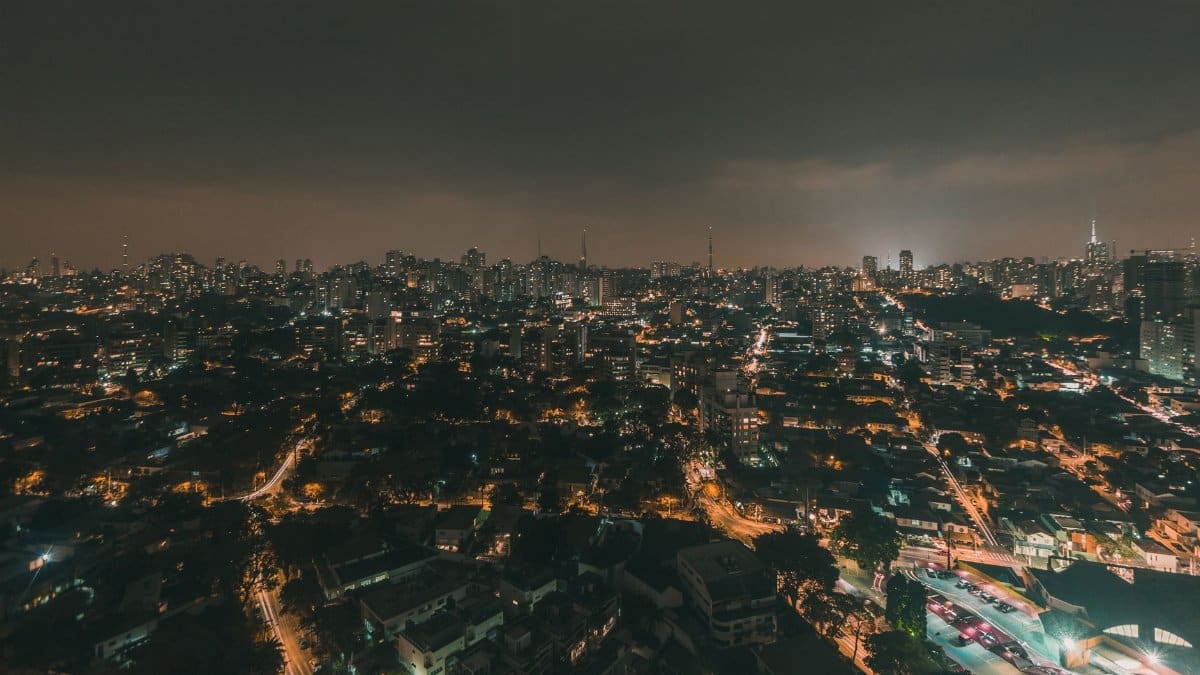
Daytime highs get the attention because they are easy to remember. Nights decide recovery. When the low stays in the upper 70s or low 80s, buildings, roads, and bodies do not reset. Hospitals see the strain in heat illness that accumulates rather than arrives all at once. Sleep suffers. Tempers shorten. A city that cannot cool after dark carries yesterday into tomorrow.
Climate scientists have documented a broad rise in hot nights across much of the United States, a pattern summarized for the public by NOAA Climate.gov. Houston, with its humidity and its paved core, is built to hold heat. Concrete and rooftops release warmth long after the sun drops. A late season 100 degree afternoon would be news. A string of warm nights is the quieter tax that many residents already pay without a special alert.
Work that cannot move indoors

For people whose jobs are air conditioned, a forecast in the upper 90s is an inconvenience at the car door. For roofers, landscapers, refinery crews, and delivery drivers, it is the workday itself. Safety rules around water, rest, and shade exist because the body has limits that a schedule does not respect. Those rules are only as strong as the time a supervisor actually grants.
The late season question is practical. If the typical last extreme day has passed, some managers relax. That relaxation can be early. A single afternoon back at 100 degrees, or several afternoons at 98 with a dangerous heat index, can still harm someone who is paced for autumn. The prudent stance is to treat September heat in Houston as summer until the nights prove otherwise.
Gatherings, faith, and the outdoor hour
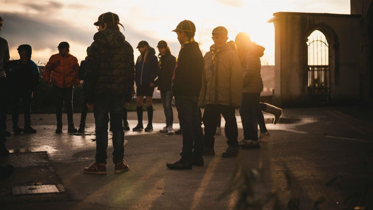
Heat reaches places that are not only economic. Congregations plan fall festivals, outdoor vows, prayer walks, and youth nights on fields that looked reasonable in a spring calendar. When the air refuses to soften, leaders face a choice that is logistical and pastoral at once. Move the service inside, shorten the standing time, or ask people who are frail to stay home and watch from a screen. None of those choices is neutral. Each one says something about who is expected to endure.
In a city as religiously varied as Houston, the same sun falls on church parking lots, mosque courtyards, temple steps, and neighborhood vigils. The spiritual question is not whether weather is a sign. It is whether a community will rearrange itself so that the most vulnerable are not the ones left in it. That rearrangement is a form of care. It does not require a dramatic reading of the sky. It requires a thermometer and a willingness to change the plan.
Records, memory, and the temptation to shrug
Longtime residents carry a private archive. They remember summers that felt endless, drought years when lawns went brown in June, and storms that broke the heat in a single violent evening. That memory is valuable and incomplete. A childhood impression of August is not a climate record. A single mild September does not cancel a hot one. The honest position sits between alarm that treats every warm day as unprecedented and dismissal that treats every warm day as familiar.
Houston 100 degree days are countable, which makes them tempting as a scoreboard. Count them, then ask what else moved. Did the first such day arrive earlier. Did the last one linger. Did nights fail to fall. Did the heat index stay high on days that never reached the round number. A city can have a year with fewer triple digit readings and still endure a harsher season. The scoreboard is a start. It is not a verdict.
The forecast after the typical last day
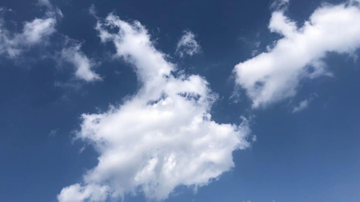
Once the historical last date has passed, the language of the forecast should get more careful, not more casual. A slight chance of another 100 degree afternoon is not a prediction that it will happen. It is an admission that the pattern has not fully broken. Readers who want that distinction can return to the Chronicle forecast story, which treated a tenth day as possible and unlikely rather than as a looming certainty.
Day to day, the useful questions are smaller. Will the high stay below the point where practice should be shortened. Will a front, even a weak one, drop the morning low. Will clouds arrive in the early afternoon and cap the heating. Those details decide school dismissal, a shift on a construction site, and whether an evening service can stay outside. The round number is a headline. The hourly curve is the life.
Homes that were built for a different September
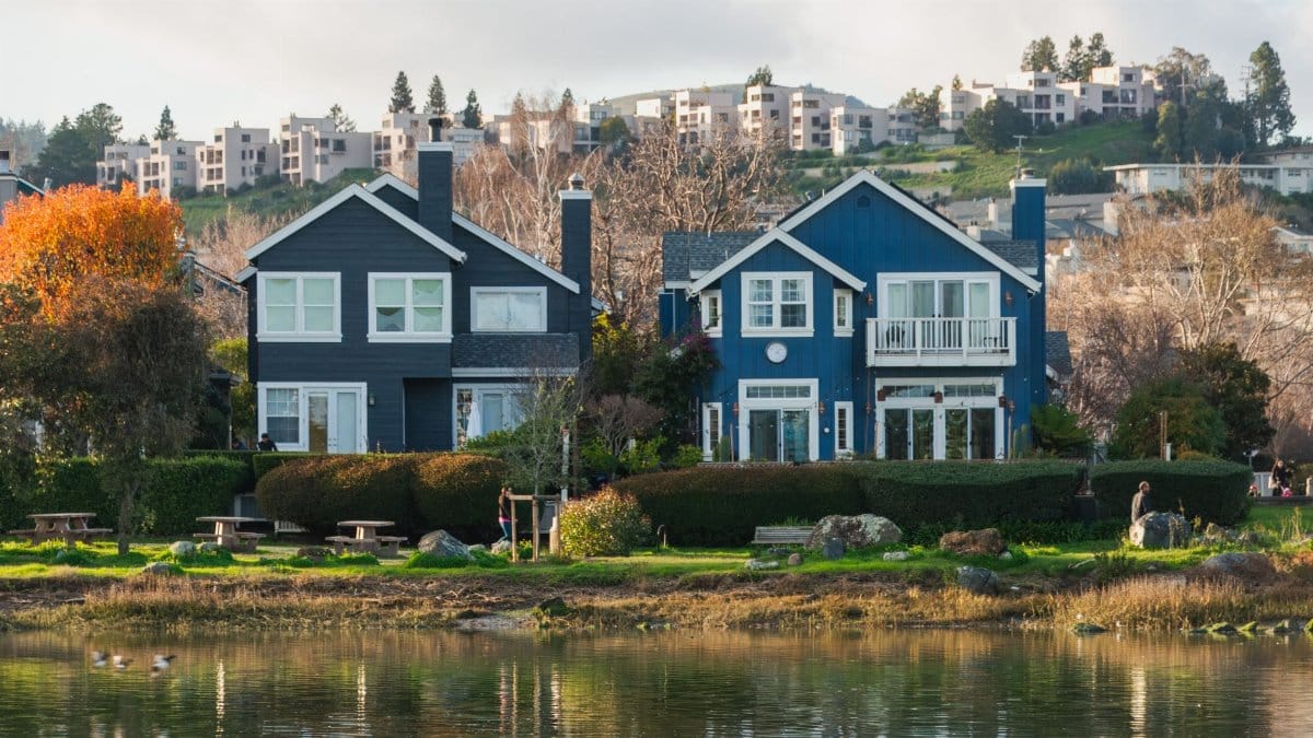
Many Houston houses and apartments were designed with the assumption that autumn would arrive as relief. Window units, aging central systems, and thin insulation tell a different story when September behaves like late July. Energy bills stay high. People who cannot afford a repair sit in rooms that never quite cool. Public cooling centers and library hours become part of the heat plan, not a rare emergency tool.
This is where civic habit matters as much as meteorology. A city that publishes clear hours, transit options, and pet policies for hot weather gives residents a map. A city that assumes everyone has a working system and a car leaves the map blank. The passing of a typical last extreme day should not be the moment those services quietly scale back. It should be the moment officials check whether the most exposed neighborhoods still need them.
What to watch in the next stretch

The coming days will answer the narrow question. Either the official high reaches 100 degrees once more, or it does not. Either outcome can be reported cleanly. Neither outcome should be used to settle a larger argument about the season. A miss does not mean the summer was mild. A hit does not mean every future September will clear the threshold.
Watch the lows. Watch the heat index on days that stall in the upper 90s. Watch whether rain returns in a way that softens the ground and the air, or whether storms glance past and leave the city steaming. Those are the signals that tell a household when to keep the hot weather routine and when to let it go.
A city learning a later autumn
Houston has always negotiated with heat. What is changing is the length of the negotiation. The idea of a typical last day still helps, because it gives forecasters and residents a shared reference. It should not become a permission slip to stop paying attention. Houston 100 degree days may be nearly done for this year. The conditions that make them, and the warmer days just below them, have not agreed to leave on schedule.
There is no need to dramatize a single afternoon that may never arrive. There is a need to keep the habits that protect people while the season finishes its slow turn. Water, shade, earlier hours, and indoor alternatives for those who cannot risk the sun are not signs of panic. They are how a humid city stays decent to itself when the calendar says autumn and the air has not caught up.