
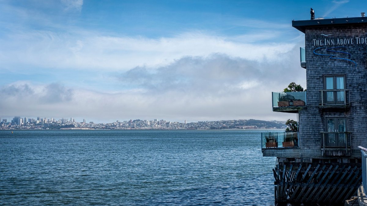
On a clear weekend morning the bay can look almost polite, a sheet of light against the Embarcadero, until the water climbs the seawall and slides across pavement that was dry an hour earlier. That is the scene San Francisco is preparing for again as SF high tides flooding returns with the full moon and a Pacific still running warm under El Nino. The city has already logged its highest October tide on record, and forecasters expect the water to stay elevated through the weekend. For people who live and work along the shore, the question is not whether the bay will rise. It is how far the streets will let it come.
The water that does not wait for rain
Coastal flooding in San Francisco often arrives without a storm. The sky can be blue, the wind light, and the pavement still wet. Tide, not rainfall, does the work. When the ocean stands higher than the drains and the seawall joints were built to handle, bay water backs into streets, garage entries, and the low edges of parks. Pedestrians notice it first as a sheen, then as a shallow sheet that reflects brake lights. Drivers learn which corners to avoid. The weekend ahead fits that pattern. Elevated water does not need a dramatic sky to become a civic inconvenience, and sometimes a real hazard for anyone who treats the waterfront as ordinary dry ground.
A record October and a restless bay
October is not the month most people associate with bay water in the street. Winter storms own that reputation. Yet San Francisco recorded its highest October tide on record, a mark that reset expectations for a season many residents still file under mild weather. Records matter because they show the baseline moving, not only a single odd day. A tide that would once have been notable in winter can now appear while the calendar still says early autumn. That shift changes how businesses stock sandbags, how transit planners look at low track beds, and how residents near the shore read a forecast that mentions moon phase instead of rain. The record is a number. The lived version is a wet sidewalk in a month that used to stay dry.
How the moon lifts the whole shoreline
The full moon this weekend is not a metaphor. It is a physical pull. When the moon and sun line up, their gravity stacks, and the resulting spring tides run higher and lower than the tides in between. In the Bay Area those peaks are often called king tides, a plain name for an old cycle sailors have tracked for centuries. The high ones do not invent new water. They lift the water already in the bay a little farther up the shore. On a developed waterfront, a few extra inches decide whether a curb stays a curb or becomes a channel. SF high tides flooding is, in that sense, astronomy made local. The same moon that draws people to the beach can put bay water across a bike lane before lunch.
El Nino and a higher starting line

El Nino adds a second, slower push. During these warm Pacific episodes, sea level along the California coast tends to sit higher than in neutral years, because warm water expands and wind patterns rearrange the surface of the ocean. The rise is measured in inches, not feet, which can sound modest until it meets a tide that is already near the top of the local range. Think of it as a higher starting line for a race the moon runs every month. Storms can pile more water on top, but even a quiet weekend inherits the extra height. Scientists at federal tide centers and regional climate programs have described this stacking for years. Residents do not need the technical vocabulary to recognize the result: more days when the bay visits streets it used to only threaten.
Streets that flood when the sky is clear
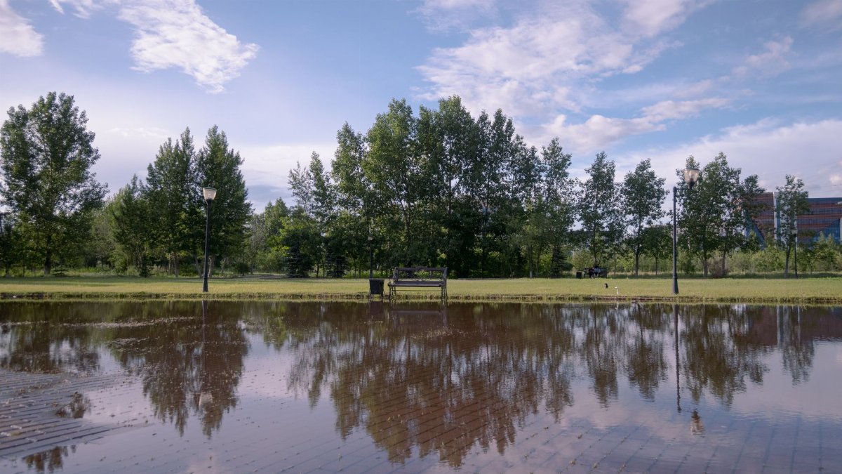
The Embarcadero is the city’s most visible classroom. Wide, flat, and built hard against the bay, it shows the tide in public. Water finds the gaps at seawall doors, spreads along the promenade, and sometimes reaches the lanes where cars and streetcars share the edge of downtown. Other low stretches, from Mission Bay to parts of the northern waterfront and communities around the larger bay, tell the same story with less spectacle. A clear sky makes the flooding feel unfair, as if the weather broke a rule. It did not. The rule was always about elevation. Sunny day flooding is simply the name for a tide that no longer needs a storm to cross a line the city drew in concrete decades ago.
The Embarcadero as a measuring stick
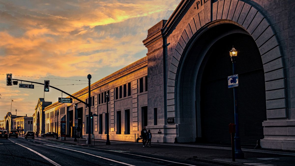
City engineers treat the Embarcadero less as a postcard and more as an instrument. If water covers a known stretch of walkway at a given tide height, they can infer what is happening at less photographed corners. Tide gauges in the bay, maintained for navigation and for science, give the numbers. The street gives the picture. Together they explain why a weekend forecast can sound calm in the hills and urgent near the ferry building. SF high tides flooding shows up in those paired records as a recurring stress test. Each event asks whether drains clear fast enough, whether electrical gear sits above the splash line, and whether temporary barriers are in place before the peak rather than after the photos circulate.
Businesses that plan around the tide table

For waterfront restaurants, tour operators, and small shops, the tide table has become a kind of second calendar. A high cycle can mean moving inventory off the floor, warning staff about wet entries, and deciding whether outdoor seating is worth setting up. Hotels field questions from guests who expected a scenic walk and found a detour. Delivery drivers reroute. None of this is catastrophic on a single weekend, which is part of why it is easy to underestimate. The cost arrives as lost hours, wet stock, and a slow tax on places that cannot relocate uphill. Owners who have lived through several king tide seasons describe a routine, not a surprise. The routine still takes labor, and labor costs money even when the water recedes by evening.
What city crews watch hour by hour

Public works teams watch the clock as closely as the sky. Peak tide is a window, not an all day condition. Crews stage pumps, check valves that are supposed to keep bay water out of storm drains, and look for debris that can turn a minor sheet of water into a blocked outlet. Transit agencies scan low segments for standing water that could affect rail or bus stops. Emergency managers tend to speak in practical terms: avoid driving through water you cannot see through, do not assume a familiar street will behave as it did last month, and keep an eye on official tide and weather updates rather than a single social media clip. The advice is unglamorous because the hazard is unglamorous. Shallow water still stalls engines, hides holes, and conducts trouble into electrical rooms.
A shoreline built for a lower sea
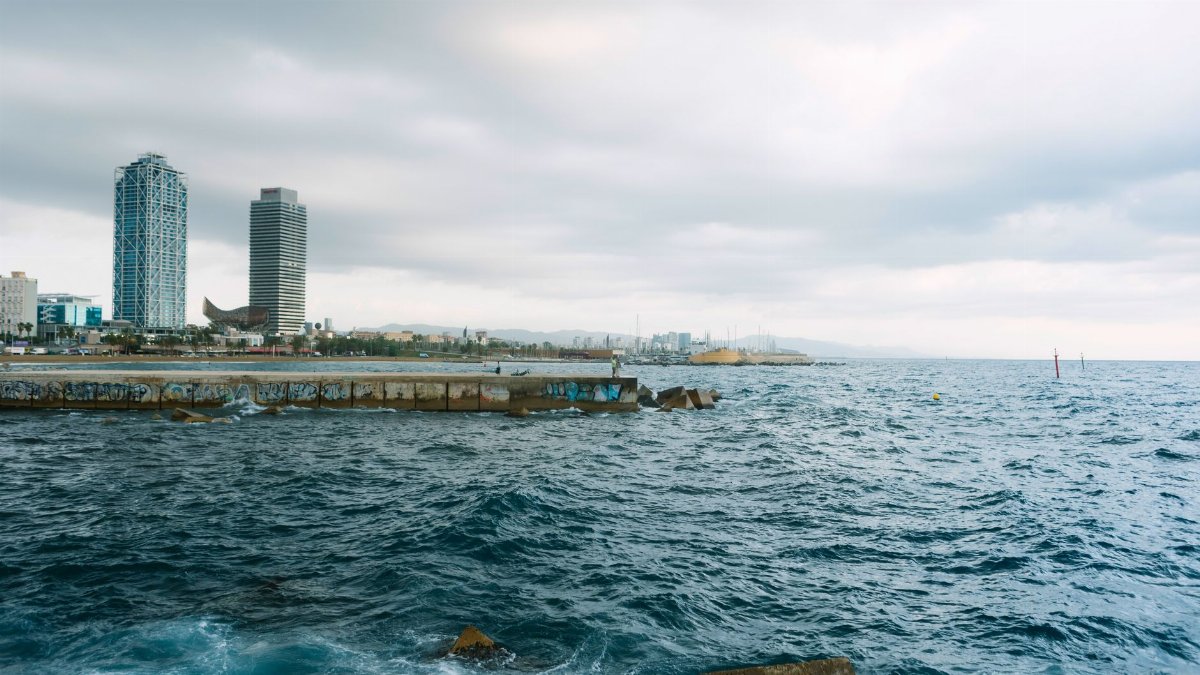
Much of San Francisco’s edge was engineered for a sea level that no longer matches the one outside the wall. Fill, seawalls, and piers made a working port and later a public promenade. They also fixed the city to an elevation that rising water steadily challenges. Sea level along the California coast has been climbing for decades, driven by a warming ocean and melting ice far from the Golden Gate. Local subsidence and the way fill settles can add to the problem in specific blocks. The result is not a single future disaster date. It is a growing number of present tense inconveniences that occasionally become damaging. A weekend of elevated tides is a preview that does not require anyone to imagine the year 2100. The preview is already on the pavement.
Reading the weekend without panic
None of this requires treating a full moon weekend as an emergency for the whole city. Neighborhoods on higher ground will notice little beyond news photographs. The useful response is specific. People with plans near the Embarcadero, the ferry terminals, or other low bay edges should check tide times and leave a margin around the peak. Property managers in known splash zones should confirm that doors, sump pumps, and electrical equipment are ready. Parents walking the promenade with children should treat shallow floodwater as bay water, not a clean puddle. These are ordinary precautions. They match the scale of the event while respecting what the water can do to a car, a storefront, or a person who misjudges depth. Calm and attention can occupy the same afternoon.
The pattern behind one high weekend

When the moon moves on and the extra El Nino height eases in some later season, the streets will dry and the story will feel finished. It will not be finished. SF high tides flooding is becoming a recurring chapter in the bay’s public life, not a curiosity attached to one October record. Each cycle teaches the same lesson with slightly different details: the waterfront is dynamic, the infrastructure is aging into a higher sea, and the city functions best when it plans for water that arrives on schedule. Residents do not need to romanticize the tide or fear every forecast. They need a clear view of where the bay already comes ashore, and a willingness to treat those places as tidal ground rather than as land that occasionally misbehaves. This weekend is one more chance to look, and to remember what the look showed.