

The shrimp boats were already out when the first forecast discussion of the day landed on phones from Galveston to Gulfport. Nothing on the satellite loop looked dramatic. A broad area of showers sat over warm water, the kind of messy weather that can either fade by supper or gather itself into a name. In that gap between a calm morning and a complicated week sits the Gulf tropical development odds, a plain phrase that now carries real weight for anyone planning a drive, a shift, or a weekend on the water. Forecasters currently see almost no chance of a tropical cyclone forming in the next 48 hours. Over seven days, they put the chance closer to 30 to 40 percent.
What the two clocks are saying
The National Hurricane Center tracks developing weather on two clocks, and they are telling different stories. The short clock covers 48 hours. On that window the chance of a tropical depression or a stronger cyclone forming is described as close to zero. The longer clock covers seven days, and there the same disturbance carries a formation chance of roughly 30 to 40 percent. That split is the whole story in miniature. Nothing is imminent. Something is still possible if the showers consolidate, if a center of low pressure closes off, and if the surrounding winds allow that center to persist. Readers who only hear one number will either shrug or panic. Readers who hear both numbers can plan a week without treating Tuesday like a landfall day.
The agency posts those odds in its tropical weather outlook, a product meant for the public as much as for mariners. A link to the current outlook lives on the National Hurricane Center site, and it is updated several times a day when the basin is active. The percentages are not a promise of a named storm and not a promise of clear skies. They are a statement about formation, which is a narrower question than where rain will fall or how high the surf will run.
How a percentage becomes a plan

A 30 to 40 percent chance is an awkward number for human beings. It is high enough to cancel a boat trip and low enough to keep a wedding on the calendar. Meteorologists treat it as a statement of uncertainty, not as a coin flip with a secret answer already written. If ten similar disturbances were lined up over the Gulf, three or four of them might become a tropical cyclone within a week, and the rest would remain disorganized showers. The trouble is that this disturbance is the only one on the map, and families do not get to average their weekends across ten parallel Gulfs.
That is why the Gulf tropical development odds should be read beside impacts, not instead of them. A system that never earns a name can still dump half a foot of rain on a flat coastal plain. A system that does form can still stay offshore and bother mostly the shipping lanes. The useful question is not only whether a cyclone will exist. It is what the atmosphere is likely to do to particular towns if the messy weather drifts north, west, or simply sits and rains.
Warm water is not the whole story

Late summer water in the Gulf of Mexico is often warm enough to feed a storm. Sea surface temperatures in the middle and western Gulf commonly sit well above the threshold that tropical cyclones prefer, and that heat is a standing invitation. Heat alone does not sign the invitation. A disturbance also needs a focus, a spot where thunderstorms can persist over the same patch of ocean long enough to lower the pressure and pull in the winds. Without that focus, warm water produces afternoon clouds and a humid night, then starts over.
This week the invitation is only partly filled out. Satellite pictures show a broad field of convection rather than a tight swirl. Broad is a forgiving word for a pattern that is still arguing with itself. Clusters of storms flare, collapse, and reform somewhere else. Until those clusters stop moving relative to one another, the low pressure area stays elongated, and an elongated low is a poor candidate for the closed circulation that defines a tropical cyclone. Warm water keeps the possibility alive. Organization decides whether the possibility becomes a storm.
Wind shear and the messy middle
Wind shear is the change in wind speed or direction with height, and it is the great spoiler of Gulf disturbances. When strong winds aloft blow across a young system, they tilt the thunderstorms away from the surface center and ventilate the heat that the storm needs to deepen. Forecasters watching this area have pointed to pockets of shear that could keep the pattern sloppy through the early part of the period. If that shear relaxes later in the week, the same moisture could stack into a more coherent circulation. If the shear holds, the Gulf tropical development odds should drift back down even if the clouds look impressive on a phone screen.
The messy middle is where most false alarms are born. A burst of thunderstorms near sunset can look, for an hour, like the start of something. By morning the burst is gone and a new one has fired fifty miles away. Social feeds compress that hour into a verdict. The outlook compresses several days of those hours into a percentage. Neither view is dishonest. They are simply operating on different speeds, and the slower one is the one that should govern decisions about evacuations, closures, and travel.
Where the rain might actually fall

Formation odds and rainfall maps are cousins, not twins. Even with a low near term chance of a cyclone, a plume of deep tropical moisture can slide toward the northern or western Gulf and produce heavy rain on land. The placement depends on a weak steering flow that, in this season, often meanders. A nudge from a trough over the central United States can pull moisture north. A ridge parked over the Southeast can shunt it west toward Texas and Louisiana or pin it over open water.
Coastal readers should watch rainfall potential on the National Weather Service pages for their local office, not only the tropical outlook. Those local forecasts translate a basin wide percentage into inches, timing, and flood watches for specific counties. A street in Houston that floods in a routine summer downpour does not need a named storm to become a problem. It needs a slow moving band and a high tide that keeps the bayous from draining. That combination can occur on a day when the formation chance is still listed as low.
Texas readers and the Houston question

For Houston, the practical issue is less the name on a storm and more the angle of approach of any rain shield. The city sits on a coastal plain with poor natural drainage, a ship channel, and neighborhoods that remember storms which never matched their advance billing as well as storms that exceeded it. A disturbance that develops in the central Gulf and moves north may be a Louisiana story. A disturbance that develops farther west, or that never develops and simply drifts, can be a Texas story measured in flooded underpasses rather than in wind damage.
Local emergency managers tend to speak in stages. They watch the seven day chance, then the 48 hour chance, then the track guidance if a center forms. They do not empty beaches because a yellow area appears on an outlook map. They do ask residents to know their routes, to clear drains, and to treat the Gulf tropical development odds as a reason to check the forecast twice a day rather than once a week. That is a modest ask, and it matches the modesty of the current numbers.
Why a weak system still floods streets
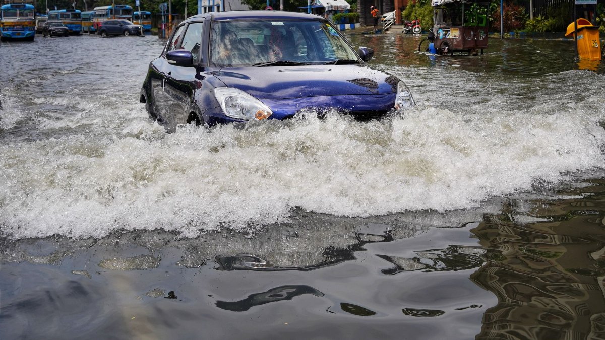
The public imagination of a Gulf storm is a tight eye and a roaring eyewall. Many of the costliest recent rains did not look like that. Tropical depressions and even unnamed lows have parked over the same counties for a day and a half, wringing out moisture that originated over very warm water. Wind may stay below the threshold that pulls shingles, while water rises into cars and living rooms. The scale of that damage is local and uneven, which makes it easy to underestimate from a dry neighborhood ten miles away.
A low chance of formation does not repeal that history. It changes the menu of hazards. With no closed circulation, the wind threat stays limited and the surge threat stays limited. The rain threat does not politely wait for a classification. People who hear 30 to 40 percent and translate it as a 60 to 70 percent chance of a quiet week are doing math the atmosphere does not recognize. Quiet, in this context, means no cyclone. It does not mean no weather.
Models agree less than the headlines imply
Computer models are the machinery behind those percentages, and they rarely speak in unison this far out. Some global models spin up a weak low near the Bay of Campeche or the central Gulf by the weekend. Others keep the energy as a trough of moisture with no closed center at all. Ensemble systems, which run the same model many times with small changes in the starting state, often show a scatter of weak lows rather than a single confident track. Forecasters blend that scatter with satellite trends and with their knowledge of what the Gulf typically does in this pattern.
The blend is why the number can move without anyone having made a mistake. If tonight satellite images show a tighter cluster of storms and surface winds beginning to curve, the seven day chance can rise. If the cluster shears apart, the chance can fall toward the low end of the scale or off the map. Treating each update as a reversal misses the point of an outlook. The point is a running estimate, revised as the atmosphere revises itself. Readers who want a single locked answer will not get one until the system either forms or clearly fails.
The habit of checking without spiraling

There is a spiritual weather that arrives with these outlooks, even in a secular news cycle. People who have lived through evacuations carry a bodily memory of waiting. The phone becomes a chapel of refresh buttons. A percentage that would bore a statistician can feel like a judgment. Naming that feeling does not make the meteorology less technical. It explains why a careful sentence from a forecast office can land like a sermon or like an insult, depending on the year a family had.
A healthier habit is narrower. Check the outlook in the morning and again in the evening. Read the local rainfall forecast. Notice whether the 48 hour chance is still near zero. Notice whether the seven day chance is rising, steady, or falling. Then go back to the day. The Gulf tropical development odds are a tool for attention, not a demand for constant attention. Communities that treat every yellow blob as a crisis exhaust the patience they will need if a real cyclone does form later in the season.
What mariners and beach towns should do now
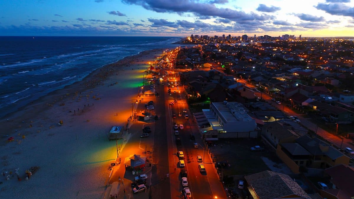
For boaters, the near term message is ordinary summer caution rather than a tropical warning. Scattered storms can still produce sudden wind, lightning, and poor visibility, which is reason enough to watch radar before leaving a pass. It is not, by itself, reason to haul a boat that was going to stay in a slip through a routine thunderstorm season. Charter captains along the upper coast tend to make that distinction in plain language. They cancel for lightning and for building seas. They do not cancel because a seven day formation chance exists somewhere in the basin.
Beach towns can keep festivals and ordinary commerce while they dust off the checklist they already own. That checklist is not dramatic. It is fuel, medications, a full phone battery, a plan for pets, and a sense of which roads flood first. Those steps are cheap when the odds are moderate and expensive to invent at the last hour. Officials who speak calmly now are not dismissing the Gulf. They are matching their tone to a forecast that still has more questions than answers.
How this fits the rest of the season

One disturbance does not grade an entire hurricane season. The Gulf can produce a quiet week and a violent one inside the same month, and the peak of activity often arrives when this kind of weak feature is still on the board. Climatology says the basin remains capable of strong storms into the fall. Climatology does not say that this particular cloud mass is destined to be one of them. Separating those two ideas is the job of the outlook, and it is also the job of anyone repeating the outlook in a headline.
Readers far from the coast sometimes treat Gulf news as spectacle. Readers on the coast treat it as logistics. Both can share the same facts. The 48 hour chance is very low. The seven day chance is about 30 to 40 percent. Warm water is present. Organization is not yet present. Rain, not wind, is the hazard most likely to matter if the moisture comes ashore before a cyclone forms. Those sentences are enough to live with for a few days.
A clear eyed way to wait
Waiting well is a skill the Gulf teaches whether or not anyone asks for the lesson. It asks for proportion. A near zero chance over two days means do not rearrange a life around a landfall that is not on the table. A 30 to 40 percent chance over seven days means do not assume the table stays empty. Between those poles there is room for work, for school pickup, for a walk on a seawall, and for a second look at the forecast after dinner.
If the disturbance tightens, the language from forecasters will tighten with it, and the Gulf tropical development odds will no longer be the most important number on the page. Track, intensity, and timing will take that role. If the disturbance fades, the number will shrink and the week will return to ordinary heat. Until one of those things happens, the honest report is the unglamorous one. The Gulf is watching a disturbance that might become something, and for the next two days it almost certainly will not.