
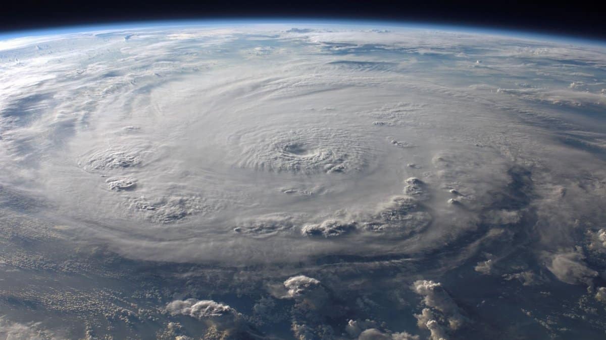
In the swirling dynamics of ocean temperatures and atmospheric patterns a developing tropical system draws attention from forecasters across the region. Hurricane Genevieve stands out as the system poised to become the first major hurricane of the season in the Eastern Pacific with rapid strengthening anticipated over the coming days. Observers note its organized structure and favorable conditions that could push wind speeds well beyond typical thresholds for such storms.
Current Status of the System

Tropical Storm Genevieve has shown steady organization in recent satellite imagery. Warm sea surface temperatures provide ample energy while low wind shear allows the circulation to tighten. Meteorologists project further intensification as the center moves westward over open waters. This evolution aligns with seasonal peaks when ocean heat content supports robust development.
Forecast Models and Intensity Projections

Multiple computer models converge on a scenario where the storm reaches major status within forty eight hours. Sustained winds could climb above one hundred fifteen miles per hour under the most likely guidance. Such strength would mark a notable early benchmark for the basin this year. Updates from the National Hurricane Center continue to refine track and timing details.
Potential Effects on Coastal Areas

Even distant from land the system may generate elevated swells along portions of the Mexican coastline. Mariners are advised to monitor conditions closely as wave heights increase. Rainfall totals remain uncertain yet any approach toward the Baja California peninsula could bring localized moisture. Preparedness measures focus on monitoring rather than immediate evacuation at this stage.
Historical Comparisons in the Basin

Previous seasons have seen early major hurricanes form under similar patterns of elevated ocean heat. Records indicate that such events often occur when El Nino influences linger or neutral conditions prevail. Genevieve fits within that broader climatology though each system carries unique traits shaped by daily weather evolution.
Community Readiness Efforts

Local authorities in vulnerable zones review emergency plans and stockpile supplies. Public messaging emphasizes awareness of official channels for alerts. Schools and businesses rehearse protocols while residents secure outdoor items. These steps reflect standard practice whenever a named system appears on the horizon.
Broader Climate Context

Longer term ocean temperature trends influence the frequency and strength of tropical cyclones. Scientists continue to examine how background warming may alter peak intensities though attribution for any single storm remains complex. Data collection through buoys and aircraft supports ongoing research into these relationships.
Spiritual Reflections on Natural Events

Communities often turn inward during periods of uncertainty created by powerful weather. Traditions across faiths encourage contemplation of human limits against elemental forces. Some see in these cycles opportunities for renewed appreciation of resilience and interconnectedness. Such perspectives appear in gatherings and online discussions as the storm progresses.
Media Coverage and Public Awareness

News outlets provide regular briefings drawn from official sources to keep audiences informed. Visuals from aircraft reconnaissance offer glimpses into the storm core. This flow of information helps balance concern with factual updates rather than speculation.