
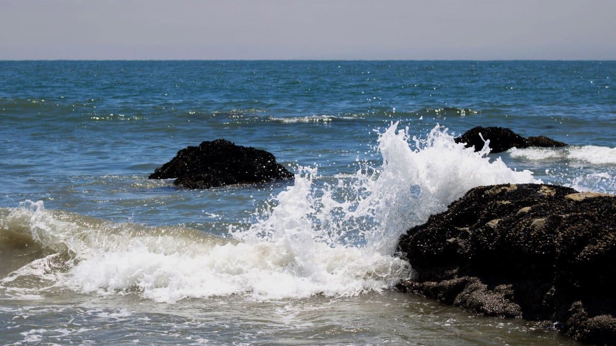
Coastal residents from San Francisco to San Diego have grown accustomed to seasonal shifts in the Pacific but the latest forecast points to something more pronounced. An incoming oceanic pulse tied to a robust climate cycle could elevate water levels along much of the state shoreline by roughly a foot within weeks. Scientists tracking currents and atmospheric pressure note that El Niño sea level rise often compounds existing tidal patterns and produces noticeable changes even in areas shielded by breakwaters. The effect arrives at a moment when many municipalities already face chronic concerns over erosion and saltwater intrusion into low lying infrastructure.
Drivers Behind the Expected Surge

The Pacific Ocean responds quickly to changes in trade winds and sea surface temperatures. When those winds weaken a mass of warmer water migrates eastward and raises the sea surface in its path. Models from federal agencies show this displacement can add between eight and twelve inches of height along the California coast during peak months. The process unfolds over days rather than hours yet leaves a lasting imprint on harbor depths and beach profiles.
Timing and Regional Reach

Forecasters anticipate the crest will reach maximum influence between late September and early October. Southern sections of the state may register the change first while northern stretches experience a slightly delayed but comparable response. Ports in Los Angeles and Long Beach have already begun adjusting vessel schedules to account for altered clearance under bridges and docks.
Effects on Everyday Coastal Life

Property owners near the waterline report increased minor flooding during ordinary high tides. Access roads to popular beaches require more frequent sand replenishment. Fishermen observe shifts in nearshore habitats as salinity and temperature profiles change. These incremental adjustments accumulate into measurable economic pressures for tourism operators and local governments.
Comparisons With Past Events

Similar episodes occurred during the strong cycles of 1982 and 1997. Tide gauge records from those years document temporary elevations that matched or exceeded the current projection. Recovery followed once the driving atmospheric pattern subsided yet some stretches of shoreline retained altered contours for years afterward.
Preparation Steps Underway

State agencies have circulated guidance urging communities to inspect storm drains and reinforce temporary barriers. Emergency managers emphasize monitoring rather than evacuation at this stage. Insurance carriers meanwhile review policies that cover tidal flooding to clarify coverage limits ahead of the seasonal peak.
Broader Ocean Circulation Context
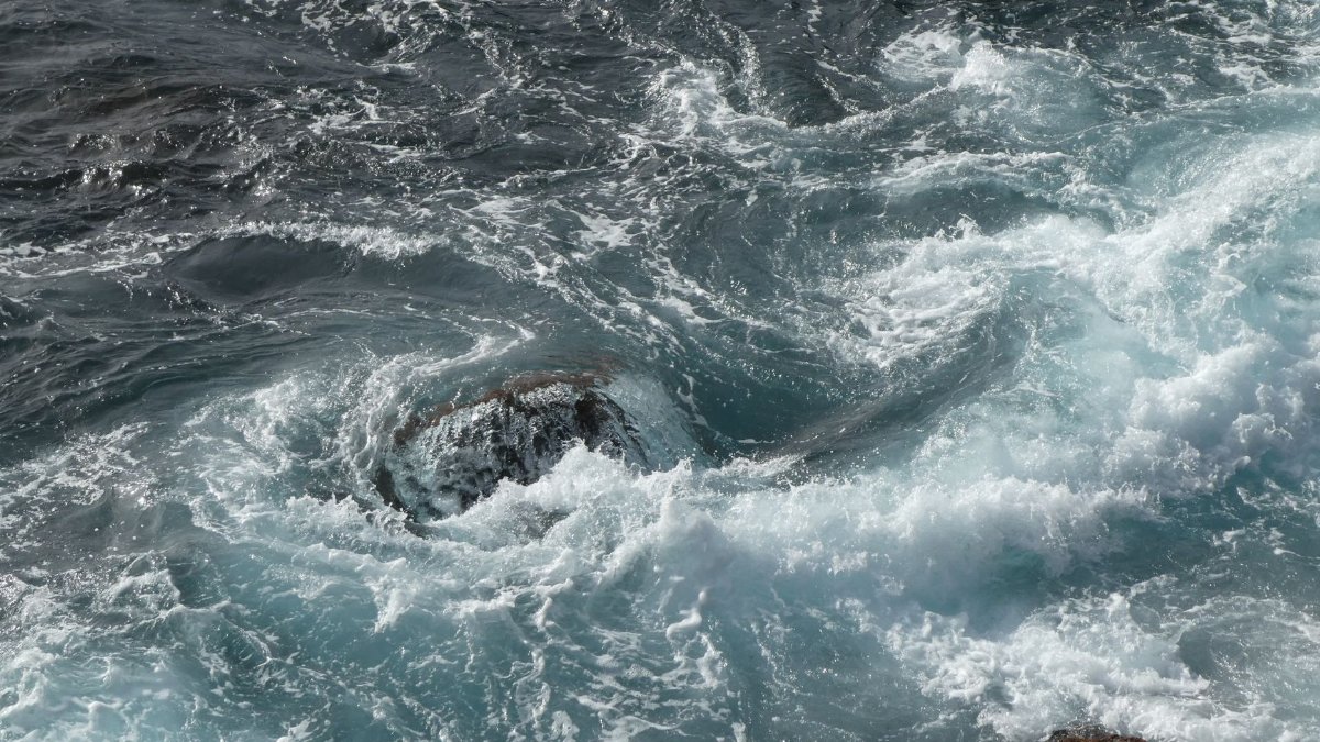
El Niño sea level rise forms one part of a global redistribution of heat and moisture. While the California signal dominates headlines researchers note parallel effects in other basins though usually of lesser magnitude. The same atmospheric setup that elevates the eastern Pacific can suppress levels in the western Pacific and alter rainfall patterns across distant continents.
Long Term Shoreline Planning

Planners increasingly treat each El Niño episode as a preview of conditions that may become more common. Updated elevation maps now guide decisions on where to locate new public facilities and how to retrofit older ones. Funding for living shorelines and managed retreat strategies has grown as data accumulate from successive cycles.
Looking Ahead After the Peak

Once the present pattern relaxes water levels are expected to recede toward baseline within a few months. The interval offers a window to assess any permanent damage and refine response protocols. Continued observation through satellite and buoy networks will help refine predictions for the next cycle and reduce surprises for coastal populations.