
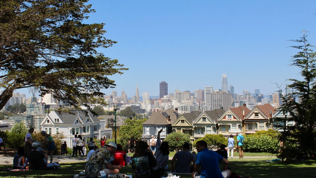
From the crest of Bernal Heights on a clear afternoon, San Francisco still reads as a city of low roofs, sudden towers, and water at the edge of almost every view. That familiar outline is what the San Francisco Chronicle asked readers to reconsider when it published a three dimensional model of the Family Zoning skyline, a rendering of how height limits in the city Family Zoning plan could lift buildings in selected corridors and leave much of the residential fabric looking much as it does now. The pictures are not a construction schedule. They are a way of making an abstract planning fight visible before the first new floor is poured.
What the Chronicle put on the screen
The project is a visual essay more than a manifesto. Using planning maps and height rules associated with Family Zoning, the newsroom built a model that lets a reader spin the city and compare today with a version in which allowed building heights rise along chosen streets. Storefront corridors grow a few stories. A handful of nodes near transit take on more bulk. Hills that have long been a patchwork of houses stay comparatively quiet in the frame.
That selectivity is the point of the exercise. San Francisco arguments about growth often collapse into a single fear, the fear that the whole skyline will be replaced by a wall of towers. A model that isolates where the rules actually change is a corrective. It shows concentration rather than a blanket. It also shows how even a concentrated change can alter a ridgeline when you stand in the right place and look across the bay.
Journalists have drawn zoning maps for decades. What feels new is the ease with which a reader can inhabit the massing, not merely decode a color key. A pastel district on a flat map rarely produces the same jolt as a block that suddenly gains floors against a familiar church spire or a row of bay windows. The Chronicle bet that seeing would do work that hearings and staff reports have struggled to do.
Where the plan would raise the roof
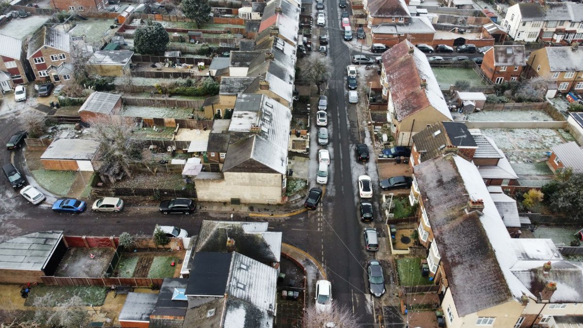
Family Zoning, as city officials have described it, is an attempt to add homes by relaxing height and density rules in places already shaped by shops, buses, and wider streets, rather than by scattering towers through every quiet block. The logic is familiar in American planning: put the extra height where the infrastructure already runs, and ask those corridors to carry more of the housing burden the state expects the city to meet.
In the model, that logic becomes a skyline story. Commercial strips that now read as two or three stories acquire a heavier shoulder. Corners near rail and rapid bus lines step up. The change is not uniform, which is why a single photograph of downtown cannot stand in for the plan. Downtown already has its own height regime. The political heat sits farther out, on streets people think of as neighborhood main streets rather than as a second downtown.
Readers who live on those streets will look for their own block, and they should. A citywide rendering can flatter a policy by averaging its effects. The honest use of the tool is local. Does the extra height land across from a school yard. Does it face a narrow lot where light already arrives at a slant. Does it replace a one story shop or rise behind housing that is already there. The Family Zoning skyline only becomes meaningful when it is read at that scale.
A name that carries a social promise

The word family in the plan title is doing political work. San Francisco has spent years hearing that its housing shortage pushes out households with children, that apartments are too small, that the price of a modest home has become a verdict on who gets to stay. Branding a rezoning around families is a claim that new height will not only add units but add the kinds of units parents can actually use.
A skyline model cannot show unit mix. It cannot show whether a new floor contains three bedrooms or a stack of studios aimed at the highest bidder. It cannot show rent, sale price, or who gets a lease. Height is a container. What goes inside the container is a separate set of rules, incentives, and market facts. Treating the rendering as proof that families will be housed is a category error. Treating it as irrelevant to that hope is also a mistake, because without the container the hope has nowhere to land.
That gap between massing and livelihood is where honest coverage should live. The pictures invite awe and dread in equal measure. The policy invites a harder question. If the city allows more building, what will it require, subsidize, or simply trust the market to deliver for households that have already been priced toward the exits.
The politics of a visible massing study
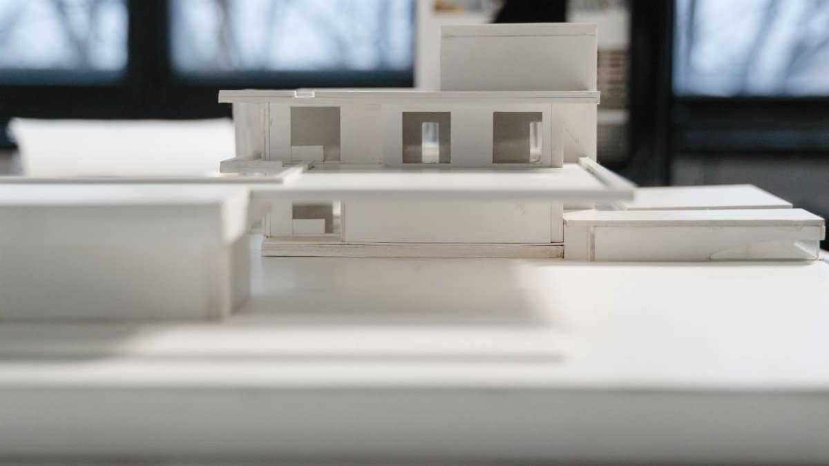
Once a picture exists, it becomes a prop. Supporters of the plan can point to the model and say the feared transformation is limited, legible, and aimed at streets that can take it. Opponents can point to the same model and say the bulk is exactly as bad as they warned, only now it has a polished gloss. Both uses are predictable. Neither exhausts what the image is good for.
Visual journalism changes the burden of description. A planner can no longer rely on a sentence about modest increases when a reader has already watched a corridor jump. A neighborhood group can no longer imply that every hill will sprout a high rise if the model shows otherwise. The fight shifts from competing adjectives to competing interpretations of a shared picture. That is a gain for public argument, even when the argument stays fierce.
There is a risk of false precision. A model built from maximum allowed heights depicts a legal ceiling, not a forecast of what developers will finance, what lenders will underwrite, or what the next recession will stall. Plenty of San Francisco parcels have carried unused zoning for years. A Family Zoning skyline drawn at the cap can look more transformed than the city that actually gets built. Responsible viewing means holding two images at once: the world the rules permit, and the world capital and politics will choose.
Shadows views and the old argument about bulk

San Francisco regulates light and views with unusual passion because the topography makes both precious. A few extra stories on a flat street in another city may annoy a neighbor. The same stories on a slope here can cut a public vista, darken a rear yard, or change how evening sun hits a park. Those are not imaginary harms. They are the daily texture of living in a city folded over hills.
The Chronicle model is well suited to that texture because it lets a person test sightlines rather than accept a slogan. Stand, in the digital sense, at a corner you know. See whether the new envelope blocks the water, the downtown cluster, or only the sky above a grocery roof. Some fears will survive that test. Others will shrink. A politics that cannot tell those cases apart will keep fighting the wrong buildings.
Bulk is not only a matter of private windows. It is also a matter of street proportion. A wider arterial can absorb height that would crush a narrow lane. Ground floors that stay active can keep a taller building from feeling like a wall. None of that appears automatically because a zoning map says a number. Design rules, setbacks, and the slow work of architectural review still decide whether extra height reads as a street with more homes or as a corridor that lost its scale.
What a model cannot settle

No rendering can settle displacement. If new construction replaces an older building with lower rents, the skyline may improve in a planner’s diagram while a household loses a home. If new construction rises on a parking lot or a vacant commercial site, the moral picture changes. The model, focused on height, is mostly silent on what is demolished. Readers should ask that question beside every glowing block.
It also cannot settle infrastructure. Schools, water, transit capacity, and open space do not appear as colored masses. A corridor that looks ready for height on a zoning map may already strain a bus line at rush hour. Adding homes near transit is sound in principle. It still requires the transit to remain frequent, and the stops to remain safe, after the homes arrive. Visual clarity about roofs should not be mistaken for a full civic balance sheet.
And it cannot settle taste. Some people experience any new height as a loss of the city they chose. Others experience the current skyline as a monument to exclusion, a pretty ridge line achieved by keeping others out. Both feelings are real. Neither is a zoning finding. The useful role of the Family Zoning skyline is to narrow the dispute to places and envelopes, so that taste is argued about actual proposals rather than about a phantom city of unlimited towers.
Families who cannot find a door

Behind the graphics sits a plain shortage. Teachers, nurses, restaurant workers, and adult children of longtime residents look for apartments with a second bedroom and find bidding wars or nothing at all. The family in the plan name is not an abstraction for them. It is a kitchen table that keeps moving farther from the job, the parish, the grandparent who still lives in the city.
Height limits did not create that shortage alone. Construction costs, interest rates, a slow permitting culture, and decades of downzoning all sit in the same story. Raising a limit does not pour a foundation. It removes one veto. Cities that have allowed more housing have not become cheap overnight. They have, in various studies and local records, tended to add homes faster than cities that froze their maps. The direction of the evidence is clearer than any single number a rendering might imply.
Still, a reader can hold the human fact without pretending the model is a lease. The question for Family Zoning is whether the extra envelope will be used, and used for homes that match the households the title invokes. If the only buildings that pencil out are small luxury units on a few prime corners, the skyline will have changed and the promise will have failed. Watching the model should make that test sharper, not softer.
The months of hearings still ahead
A published visualization arrives in the middle of a process, not at the end of one. Commissions will take comment. Neighborhood groups will bring photographs. Builders will bring pro formas. State housing officials will watch whether San Francisco is meeting the obligations it accepted when it certified its housing element. The model will be cited in all of those rooms, sometimes fairly and sometimes as a screenshot stripped of caveats.
That is a reason to keep returning to the source rather than to the loudest crop of it. Maximum heights, alternative scenarios, and the difference between a corridor and a side street are easy to lose once an image starts circulating on its own. A public that has spun the model itself is harder to stampede, in either direction. Curiosity is a civic skill here, not a hobby.
Officials, for their part, should treat the rendering as a standard they will be measured against. If adopted rules produce a bulkier result than the pictures suggested, trust will thin. If the rules are softer than the debate assumed, opponents who mobilized against a phantom may feel misled in the other direction. Matching the map to the model, and the model to the ordinance language, is unglamorous work. It is also how a visual story stays honest after the first click.
Looking at the horizon with clearer eyes

Cities are moral projects whether or not they admit it. Who is housed, who keeps a view, who absorbs shade, and who is told that the neighborhood is finished are judgments about obligation. A three dimensional picture does not make those judgments. It strips away some of the fog in which bad judgments hide.
San Francisco has always been easy to love from a distance and hard to enter up close. The Chronicle model does not resolve that tension. It gives it a shape. The Family Zoning skyline, as drawn, is neither a ruin of the old city nor a guarantee of a fairer one. It is a hypothesis about where additional homes might stand, offered early enough that residents can still argue with the hypothesis before it hardens into concrete.
The mature response is neither panic nor applause. It is a walk, real or digital, down the specific streets the plan would change, with the old skyline in one eye and the allowed skyline in the other. If the city can keep that double vision through the hearings, the pictures will have done more than illustrate a policy. They will have taught a public how to look.