

In a city known for its commitment to equitable education a conservative law firm has launched a legal challenge that questions the integrity of boundary lines used to elect schoolboard members. The Denver Public Schools voting map now stands accused of reflecting deliberate choices based on racial considerations rather than neutral geographic or population factors. This case raises questions about how such maps are crafted and what standards should guide their design in public institutions across the nation.
Details Behind the Legal Filing

The complaint centers on assertions that district lines were adjusted with awareness of demographic patterns to achieve specific outcomes. Court documents suggest that data on resident populations by group played a central role in the process. Observers note that such practices could conflict with established rules against using race as a primary sorting tool in electoral systems.
Reactions from Local Officials

Schoolboard leaders have responded by defending the map as a product of standard redistricting procedures aimed at fair representation. They emphasize efforts to balance enrollment numbers and ensure every area has a voice. Critics however argue that transparency in the drawing process remains insufficient to address public concerns.
Broader Implications for Election Maps

This dispute mirrors similar cases in other regions where voting boundaries face scrutiny over potential biases. Legal experts point out that courts have historically required strict justification when race appears to influence district configurations. The outcome here could influence future mapping exercises in school systems nationwide.
History of Boundary Adjustments in Denver

Past revisions to the Denver Public Schools voting map occurred during periods of population growth and shifts in neighborhood compositions. Each cycle involved public hearings and data analysis to meet legal requirements for equal population distribution. The current version emerged from the most recent round of these reviews.
Views from Community Members

Residents express a range of opinions on whether the map truly serves all families equally. Some appreciate the attention to diverse areas while others worry that divisions based on identity undermine unity. Town hall discussions have highlighted desires for maps focused solely on practical factors like proximity and school capacity.
Role of the Conservative Law Firm

The firm involved has built a record of pursuing cases that test boundaries of affirmative measures in public policy. Its approach relies on public records and statistical evidence to build arguments about intent. Such organizations often frame their work as protecting constitutional principles of color blind governance.
Potential Court Outcomes and Next Steps
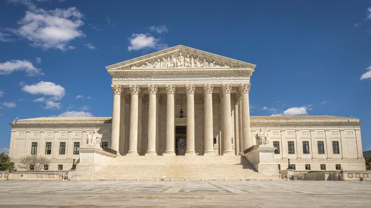
Judges may order revisions to the Denver Public Schools voting map if evidence supports the claims of improper influence. Mediation or further data reviews could precede a full trial. The process is expected to draw continued interest from policy analysts and advocacy groups alike.
Comparisons with National Trends

Across the country school districts have faced increasing challenges to maps created after census updates. Patterns show a rise in litigation when demographic data seems central to boundary decisions. This Denver matter fits into that evolving landscape of legal standards.
Future Considerations for School Governance

Whatever the resolution the episode underscores the need for clear documentation during map creation. Policymakers might adopt additional safeguards to demonstrate compliance with nondiscrimination rules. Public trust in electoral processes for education boards could hinge on these adjustments.