
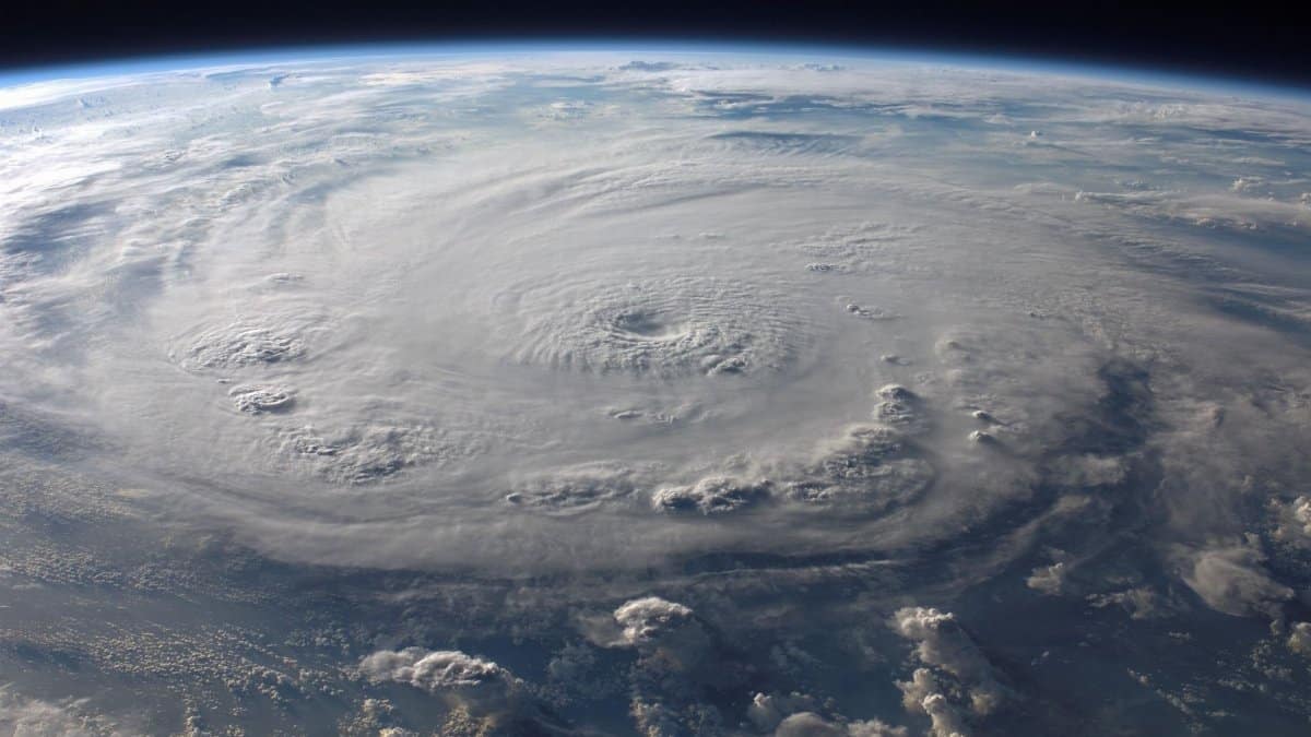
Recent updates from meteorologists have surprised many observers by lowering expectations for storm activity this year. The 2026 hurricane season forecast now points to significantly fewer hurricanes than initially thought, with only one major storm anticipated. This shift comes amid changing ocean conditions and other factors that experts are monitoring closely. Residents along the Gulf Coast, including those in Tampa Bay, are reminded that even a below normal season can bring dangerous weather, so preparation remains essential.
Understanding the Downgrade Process

Forecasters at Colorado State University have revised their outlook based on new data regarding sea surface temperatures and wind patterns. The season is now expected to produce fewer named storms overall. This adjustment reflects cooler waters in key regions that tend to limit storm formation and growth. Analysts note that such revisions happen as more information becomes available during the early summer months.
Key Factors Influencing Storm Activity
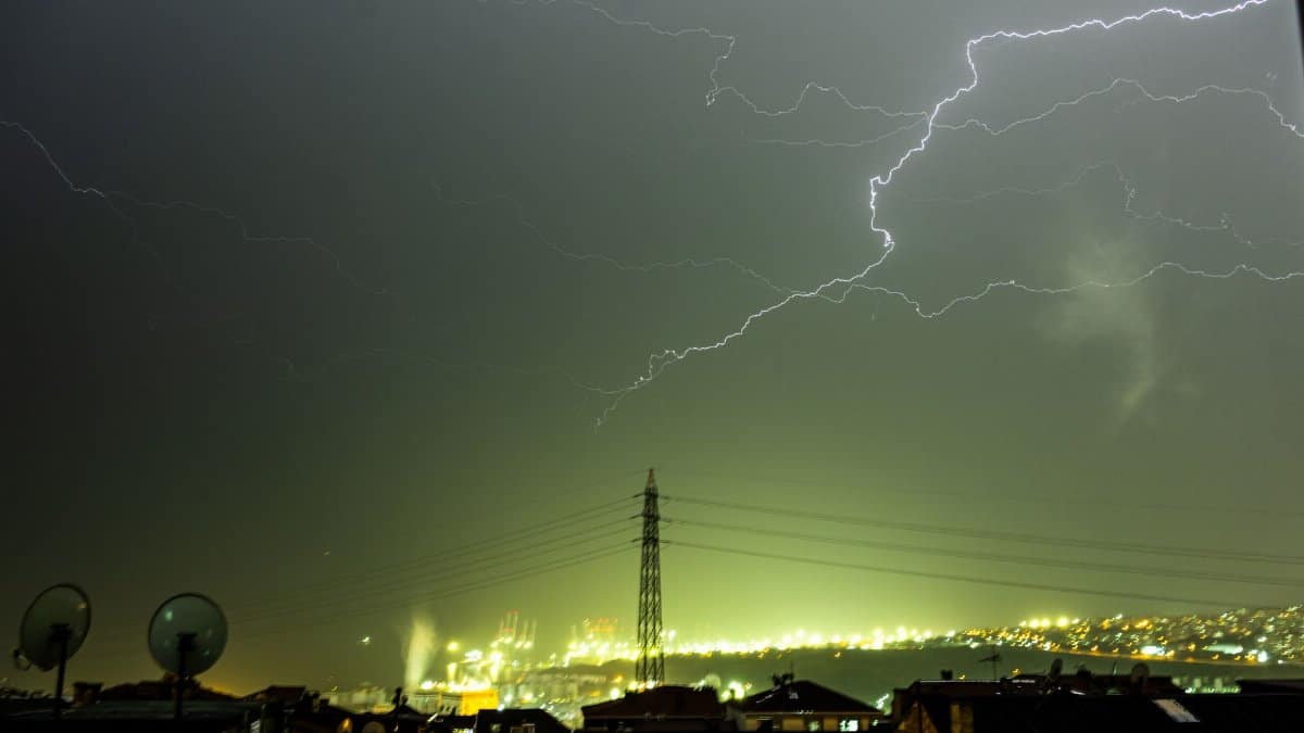
Ocean temperatures play a central role in determining how many storms develop each year. When waters remain cooler than average the energy available for hurricanes decreases substantially. Wind shear also adds to the challenge by disrupting the structure of any systems that do begin to form. These elements together point toward reduced activity across the Atlantic basin.
Regional Impacts for Coastal Communities
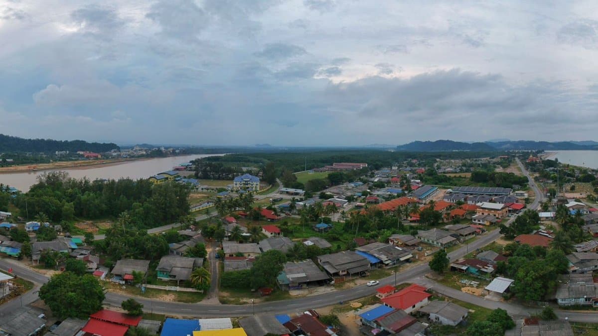
Areas like Tampa Bay face risks even when overall numbers appear low. A single storm can deliver heavy rain and strong winds that affect homes businesses and infrastructure. Local officials continue to stress the value of having evacuation plans and emergency supplies ready well ahead of any potential landfall. History shows that surprises can occur regardless of the seasonal outlook.
Comparison With Previous Seasons

Earlier forecasts had suggested a more active period but recent observations led to the downward revision. Past years with similar conditions often saw limited development after the peak months of August and September. This pattern gives some reassurance yet does not eliminate the need for vigilance among shoreline residents.
Role of Scientific Models in Predictions

Computer simulations help experts project storm counts by processing vast amounts of atmospheric data. These tools improve each year as computing power grows and more satellite information becomes available. Still the models carry uncertainty because small changes in conditions can alter outcomes in meaningful ways.
Advice on Household Preparedness

Families in vulnerable zones should review insurance coverage and secure outdoor items that could become projectiles in high winds. Creating a communication plan ensures that relatives know where to meet if power or cell service fails. Such steps take little time yet provide peace of mind during uncertain periods.
Looking Ahead to Peak Months

Attention now turns to how conditions evolve through late summer. Continued monitoring of ocean and atmosphere will determine whether the current outlook holds or requires further adjustment. Communities benefit when they treat every season as one that could produce impactful weather.