

Boston woke to a softer sky and a promise that the chill of the weekend would loosen its grip, at least for a day. People stepping out for coffee noticed it first in their hands, then in the way coats felt optional rather than required. The Boston weather forecast pointed to a Monday warm up across the city and much of New England, a brief lift before cooler autumn air settles back in later in the week. For a region that treats October as a negotiation between summer memory and winter warning, the swing is familiar and still worth watching. Offices, schoolyards, and harbor walks will feel the change in real time, not as an abstraction on a map.
A Monday that feels borrowed from September

The opening of the week arrives with a gentler wind and a higher sun angle than the raw days that came before it. Sidewalks along Commonwealth Avenue hold a little more warmth by late morning. Café doors stay open a crack. Runners along the Charles linger an extra loop because the air does not bite. None of this means summer has returned. It means a milder air mass has slid in from the south and west, lifting temperatures for a stretch of hours that will feel generous after a colder weekend.
That generosity is uneven. A downtown plaza in full sun can feel almost mild while a shaded alley near the waterfront still carries a damp edge. People who dress for the noon reading and stay out until evening often misjudge the drop. The warm up is real, and it is also temporary. By the time streetlights come on, jackets that seemed excessive at lunch start to make sense again.
Why late October swings so hard

New England sits where contrasting air masses meet with unusual frequency. Cold air pooling over Canada can surge south with little warning. Milder air from the mid Atlantic and the interior South can push north just as quickly when the jet stream lifts. In late October those exchanges are a seasonal habit, not a surprise. The sun is lower, nights are longer, and the ground is losing heat faster than it did in September. A single shift in wind direction can erase a pleasant afternoon.
The ocean complicates the picture. Water off the Massachusetts coast still holds warmth from summer, which can soften coastal readings even as inland towns cool sharply after sunset. When the wind turns onshore, that marine influence spreads inland a short distance and then fades. When the wind turns from the northwest, drier and cooler air arrives in a rush, and the mild hours vanish. Residents who have lived here for decades learn to treat any single mild day as a visit, not a new regime.
What the roads and the trains will feel

A sharp change in temperature changes how the city moves. On a milder Monday, more people walk the last few blocks from the station instead of waiting for a bus. Bike lanes fill earlier. School pickup lines stretch because parents linger. None of that is dramatic, yet it alters the rhythm of the afternoon. Then the cooler air returns, and the same streets empty faster. Commuters who left a light layer at home on Monday may regret it by midweek if they repeat the habit without looking outside.
Drivers notice the swing in smaller ways. A warm afternoon followed by a cold night can leave bridges and shaded ramps slick if moisture is present, even when the headline story is simply a change in air, not a storm. Visibility near the harbor can thicken when milder air meets cooler water. The sensible habit is ordinary: check conditions before the evening trip home, and do not assume that the morning feel of the day will still be there at dusk. That caution belongs in any week when the Boston weather forecast describes a rise and then a retreat.
Coast, hills, and the spaces between

Boston is not one temperature. The waterfront, the neighborhoods west of the city, and the higher ground toward Worcester can diverge by several degrees on the same afternoon. A sea breeze that keeps Logan and the North End cooler may never reach Framingham. A clear night that drops readings fast in the Merrimack Valley may only trim the edge off a reading beside the harbor. People planning a drive across the region do better when they think in zones rather than in a single number attached to the city name.
The hills add another layer. Elevation sheds heat. A trailhead that felt pleasant at noon can turn raw by four if clouds thicken and the wind freshens. Foliage roads that draw visitors on a mild Monday can feel entirely different two days later, when a northwest flow strips the softness out of the air. The landscape has not changed. The air above it has. That distinction is the whole story of a swing week.
How a warm up actually arrives

Forecasters watch the boundary between air masses more closely than they watch any single thermometer. A warm front, or simply a broad flow of milder air, can lift temperatures without producing much rain. Clouds may thicken, winds may turn, and the change can show up first in the overnight low rather than in a dramatic noon spike. If the milder air is shallow, the warm up stays modest. If it is deeper and the sun works through breaks in the cloud, the afternoon can overshoot what the morning suggested.
The return of cooler air is often cleaner. A cold front, or a shift to northwest flow behind departing low pressure, sweeps the mild air away. Temperatures fall, humidity drops, and the sky may clear. That sequence is why a week can open gently and close with a reminder that November is close. The National Weather Service office that covers Boston and much of southern New England posts the evolving picture through its Boston forecast page at weather.gov/box, where zone discussions explain the reasoning behind the numbers. Reading that discussion, not only the icon, is how a swing week becomes legible.
Parks, color, and the last easy hours outside

A mild Monday is a gift for anyone who has been waiting for a comfortable hour in a park. The Public Garden, the Emerald Necklace, and the smaller neighborhood squares fill with people who had written off the weekend as too raw. Leaves that are still holding color look richer in softer light. Dog walkers extend their routes. Office workers eat outside for what may be one of the last easy lunches of the season.
The return of cooler air does not end those pleasures. It changes their terms. A walk that felt casual on Monday asks for a heavier layer by Wednesday or Thursday. Sunset comes early enough that the coldest part of an outing is often the walk home. People who treat the mild day as a rehearsal for the rest of the month will be disappointed. People who treat it as a single open window will enjoy it without resentment when the window closes.
Homes, heat, and the small decisions

Inside, the swing shows up on thermostats. A building that needed little heat over a mild afternoon may call for it again after midnight once cooler air arrives and radiators, or heat pumps, respond. Apartments with poor insulation feel the change first, especially on upper floors exposed to wind. The practical response is modest: do not shut the system off entirely because one afternoon felt kind, and do not assume that Monday settings will serve the end of the week.
Household routines follow. Laundry dried on a line on a mild day may need a dryer by Thursday. Windows left open for a breeze should be checked before a colder night. These are small acts, yet they are how a forecast becomes a lived week rather than a headline. Families with children notice the same pattern at the door: the jacket that was refused on Monday morning is requested without argument two days later.
Reading the forecast without chasing every update

A swing week tempts constant checking. Each new model run can nudge a high or a low by a degree or two, and the icons shift from sun to cloud and back. The useful question is not whether the exact peak on Monday matches the morning guess. The useful question is whether the shape of the week holds: milder to start, cooler air returning, and no assumption that either phase will last. That shape is what the Boston weather forecast has been describing, and it is sturdy enough to plan around even when the fine print moves.
Local television, public radio, and the weather service all tell versions of the same story. They differ in emphasis. One may stress the pleasant Monday. Another may stress the colder finish. Both can be right if the listener hears the sequence rather than a single adjective. I still glance at the morning discussion before I trust a glance out the window, because the window only shows the hour I am standing in. The week is longer than that hour.
Travelers add another test. A flight delay, a ball game, or a late train can place a person outdoors at the hour when the mild air is already leaving. Packing for the cooler phase, and shedding a layer if Monday earns it, is simpler than the reverse. The Boston weather forecast is most helpful when it is read as a range across days, not as a promise attached to lunchtime.
What the week asks of the city
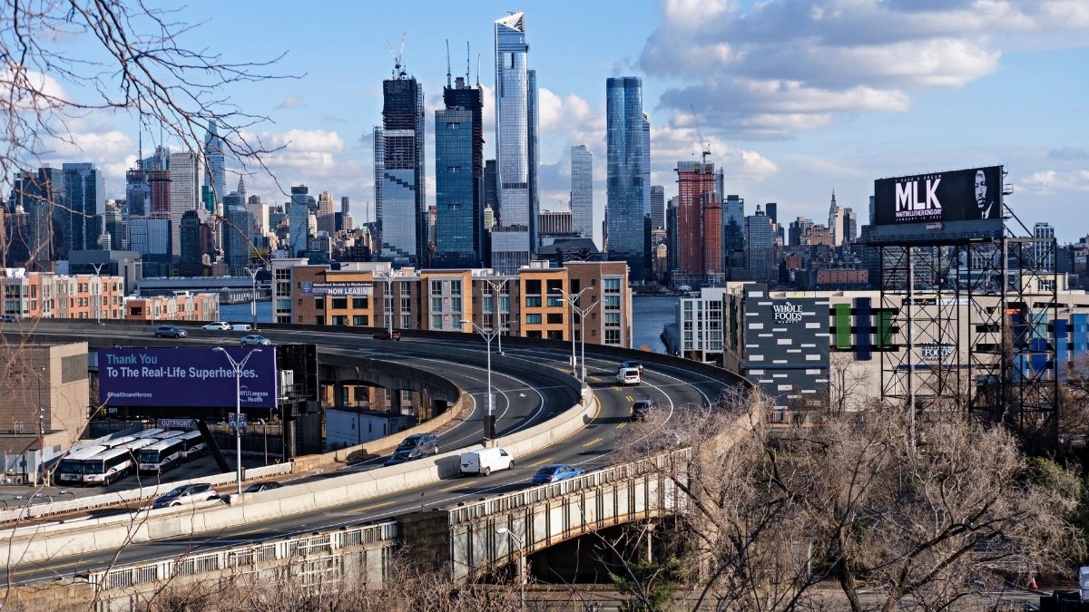
Boston has practice at this kind of week. The calendar says autumn. The air says whatever the next air mass decides. A Monday warm up is welcome, and it should be used: the walk, the open window, the hour outside that a colder weekend postponed. It should not be mistaken for a new season. Cooler conditions are lined up behind it, and they will feel more like late October once they arrive.
The discipline is ordinary attention. Look past a single pleasant afternoon. Notice wind direction, the feel of the evening, and the difference between the harbor and the inland towns. Keep a layer within reach. Let the mild hours be mild, and let the colder hours be what they are. That is the whole instruction hidden inside a sharp swing, and it is enough.