
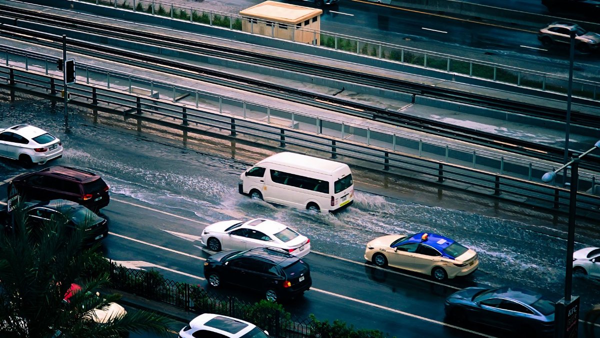
On a gray evening along the northern edge of San Pablo Bay, brake lights stack up where the marshes press close to the pavement, and drivers heading from Vallejo toward Novato watch the clock as if the water itself were keeping time. For people who live and work across this corridor, the road is not scenery. It is the short way home, the night shift route, the difference between a manageable day and a long loop through other counties. That is why the coming Highway 37 El Nino closure lands with more weight than a routine maintenance bulletin. State crews plan to shut the highway for 55 hours so embankments can be strengthened before winter storms test ground that already sits near the tide line.
A highway that already lives beside the water
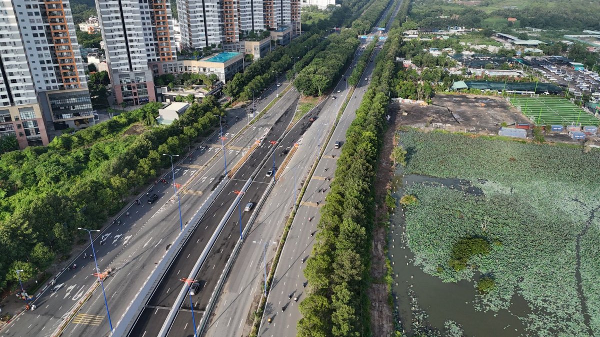
Highway 37 runs low across wetlands that flood, dry, and flood again. Commuters know the places where wind pushes spray across the lanes and where a hard rain can turn the shoulder into a shallow sheet. The road links Vallejo and Novato and serves as a cross bay shortcut for Solano, Napa, Sonoma, and Marin counties. When it is open, it saves time. When it is constrained, the region feels smaller and more fragile at once.
Engineers have spent years talking about this alignment because the pavement sits on soft soils in a landscape shaped by tides. Embankments hold the roadway above the marsh, but they also concentrate risk. A weak spot is not an abstract engineering term. It is a place where water can undercut fill, where a lane can close, and where a regional commute can unravel before sunrise.
Why the work is framed around El Nino

El Nino is a warming of the tropical Pacific that can rearrange storm tracks and raise the odds of a wetter winter in parts of California. Federal climate explainers, including material from the National Oceanic and Atmospheric Administration at https://www.climate.gov/enso, describe the pattern as a shift in ocean and atmosphere, not a guarantee of any single flood. Local officials still treat a strong season as a reason to move vulnerable repairs forward. The Highway 37 El Nino closure is timed as preparation, not as a response after the first overtopping.
That distinction matters. Waiting for damage often means closing a road in the middle of a storm, when detours are already crowded and tow trucks are busy. Doing the work in a planned window lets agencies warn hospitals, schools, warehouses, and transit riders before the cones go down. It also lets crews work in daylight and overnight without competing with emergency pumping and debris removal.
What fifty five hours is meant to buy

A closure of 55 hours is long enough to feel like a lost weekend and short enough to be sold as a controlled sacrifice. The stated purpose is embankment repair, the kind of earthwork that does not photograph as dramatically as a new bridge but can decide whether a road survives the next series of king tides and downpours. Crews typically use such windows to place rock, compact fill, fix drainage, and restore slopes that have slumped toward the marsh.
Readers should not expect a finished climate solution at the end of the weekend. Embankment work is maintenance with a longer horizon, a way to keep an aging corridor serviceable while larger debates about elevation, relocation, or a more resilient design continue. The honest description is interim protection. The dishonest one would be a promise that one closure retires the flood problem.
Who feels a shutdown first
The people most exposed are not always the ones quoted in official notices. They are nurses finishing a shift in Vallejo who live west of the marshes, warehouse workers whose start times do not flex, parents who already pad school runs by twenty minutes, and small contractors who price a job assuming the direct route stays open. A detour that looks modest on a map can add fuel costs and unpaid time that a household budget notices immediately.
Freight feels it too. Highway 37 is not the Bay Area spine in the way Interstate 80 or Highway 101 is, but it is a pressure valve. When it closes, some of that pressure moves onto roads that are already tight at commute peaks. The result is not only delay on the closed segment. It is a wider thickening of traffic that can reach people who never planned to drive the marsh route at all.
How agencies ask drivers to adapt

Transportation departments usually answer a closure with a familiar kit: posted detours, electronic signs, social updates, and a request that people shift trips away from the peak. For a weekend shutdown, the hope is that discretionary travel can wait and that essential trips can be stacked earlier or later. That hope is only partly realistic. Care work, hospital staffing, and some retail schedules do not pause because a press release prefers a quiet Saturday.
Drivers who can avoid the corridor should do so. Those who cannot should leave extra time, check conditions before departing, and assume that the first and last hours of the closure will be messier than the middle. Local streets near the ends of the highway can absorb spillover in ways that surprise neighborhoods unused to heavy through traffic. Patience is not a slogan here. It is a safety practice when unfamiliar routes fill with frustrated drivers.
The geography that makes repairs urgent

Stand on the shoulder on a clear day and the vulnerability is visible without a briefing. The road crosses a former tidal plain. Levees, drainage ditches, and remaining marsh sit close enough that a driver can see water on both sides in wet months. Sea level rise, noted for years in regional planning documents, does not arrive as a single dramatic wave. It arrives as higher starting points for storms, more frequent nuisance flooding, and less room for error when an embankment settles.
El Nino seasons have a particular political usefulness in this setting. They give the public a named reason to accept inconvenience now. The underlying condition is slower and less headline friendly: a low road in a wet place, maintained for a region that grew around the assumption that the shortcut would keep working. Preparation for one winter is necessary. It is not the same as a plan for the next several decades.
What repair crews can and cannot finish
Earthwork depends on weather even when the purpose of the earthwork is weather. If rain arrives during the closure, compaction can slow and some tasks may be reduced to what can be made stable before lanes must reopen. Agencies rarely advertise that uncertainty in the first sentence of a notice, but experienced commuters have seen weekend projects stretch or return for a second visit. A promise of 55 hours is a plan, not a law of nature.
What crews can reasonably finish is targeted: shore up sections already identified as weak, clear blocked drains, and leave the embankment better able to shed water. What they cannot finish is a raised causeway, a new alignment inland, or a full retreat from the marsh. Those options involve years of environmental review, funding fights, and arguments about whose land and whose commute should absorb the change. The weekend closure is the work that fits inside a traffic window, not the work that resolves the corridor.
Money, delay, and the cost of waiting

Every planned closure carries a ledger that is only partly public. There is the contract cost of rock, labor, and traffic control. There is the private cost of extra miles. There is also the avoided cost of an emergency shutdown, which is harder to count because it is a disaster that did not happen. Transportation debates often privilege the receipt in hand over the failure that preparation might prevent. That habit undervalues embankment work until the day a lane drops or a flood closure lasts longer than any weekend.
Still, residents are right to ask what they are buying. If the same segment needs repeated emergency patches, a short closure can look like a ritual rather than a repair. Accountability means publishing, after the lanes reopen, what was completed, what was deferred, and whether the finished work matches the reason given for the Highway 37 El Nino closure. A region asked to absorb 55 hours of inconvenience deserves a plain account, not only a before photo of cones.
Lessons from other wet roads

California has a long list of highways that negotiate with water: coastal segments that slip in winter rains, delta roads that depend on levees, and mountain routes that close for snow and then for washouts. The pattern is consistent. The road was built for a climate and a settlement pattern that are both shifting. Maintenance keeps faith with the people who rely on it today. Planning has to admit that faith has a physical limit.
Highway 37 is unusually clear as a case because the water is visible. There is no canyon to hide the problem and no high pass to blame. Drivers can see the marsh. That visibility should make the public conversation more concrete, not more fatalistic. Concrete means funding the near term fixes, measuring whether they hold, and deciding in daylight, not during a flood, whether the long term answer is to lift the road, move it, or accept more frequent closures.
A weekend that tests more than pavement

The closure will also test communication. If signs are late, if detours are vague, or if updates stop once the work begins, trust erodes in a way that outlasts the cones. If agencies explain the sequence of work and the conditions that could change it, the same inconvenience can read as competence. Middle aged commuters who have watched a decade of alerts learn quickly which agencies treat them as partners and which treat them as traffic to be managed.
Local governments along the route have their own role. They can time nonessential street work away from the detour paths, station officers where unfamiliar turns create risk, and tell residents which neighborhood roads may see more trucks. None of that is glamorous. All of it reduces the chance that a planned highway closure becomes an unplanned neighborhood crisis.
After the lanes reopen
Reopening should not be the end of the story. The first heavy rain after the work will be the real inspection. Drivers will notice whether water still sheets across known low spots and whether new rock stays put. Maintenance crews will notice whether drains keep pace. Those observations belong in public updates, because the Highway 37 El Nino closure was justified as flood preparation. Preparation can be evaluated. It should be.
Residents can help without turning every puddle into a panic. Report standing water in travel lanes, fresh cracks in the shoulder, and debris that blocks drains. Do it through official channels so the information reaches the people who can close a lane safely rather than through rumor that sends a crowd to the shoulder. A marsh highway rewards attention. It punishes improvisation.
The larger choice hiding in a short closure

It is tempting to treat a 55 hour shutdown as a small item on a weekend calendar. In a narrow sense, it is. People will reroute, grumble, arrive late, and resume their routines when the barricades lift. In a wider sense, the closure is a preview of the choices this region keeps postponing. Keep pouring effort into a low embankment. Spend far more to change the road. Or accept that some winters will take the shortcut away for longer than a planned weekend.
I have driven roads like this in other wet seasons and felt the false comfort of pavement that looks ordinary until the water rises beside it. Ordinary is a gift of maintenance. It is also a mask. The Highway 37 El Nino closure pulls the mask off for 55 hours and asks a practical question: will the work done in that window be worthy of the time it takes from people who have no better way across the bay edge? The answer will not be in the announcement. It will be in the embankment after the next storm, and in whether anyone is still willing to say, plainly, what held and what did not.