
The hills above the Westside do not announce trouble with a siren. They go quiet, then the air turns hard and warm, and a neighbor notices the pepper trees leaning inland instead of toward the sea. In living rooms from Brentwood to Pacific Palisades, phones light up with the same alert. Forecasters are talking again about Westside LA Santa Ana fire risk, and the phrase lands differently here than it does on a regional map. The mountains behind these streets hold months of dry growth. The roads out are few. People who have watched flames jump a canyon do not treat the forecast as background noise. They check the go bag, the hose, the dog, and the one street that does not dead end against a slope.
A wind that dries the air before it fans a flame
Santa Ana winds begin far from the coast. High pressure settles over the Great Basin, and air spills toward lower pressure near the Pacific. As that air descends, it warms and dries. By the time it reaches Los Angeles, relative humidity can fall into a range that turns garden shrubs into fuel. The wind does not need a dramatic storm cloud to become dangerous. It needs alignment: dry vegetation, a spark, and a push through canyons that act like chimneys.
The National Weather Service office in Oxnard, which covers the Los Angeles basin, describes these events in plain terms on its forecast pages. Offshore flow, low humidity, and gusty winds are the ingredients. Residents hear the result as a Red Flag Warning or a less formal caution from local fire departments. The distinction matters less on a ridgeline than it does in a briefing. Either way, the physics is old. The exposure around it is new, because more homes now sit inside the burnable edge of the city.
Why the Santa Monica Mountains change the odds
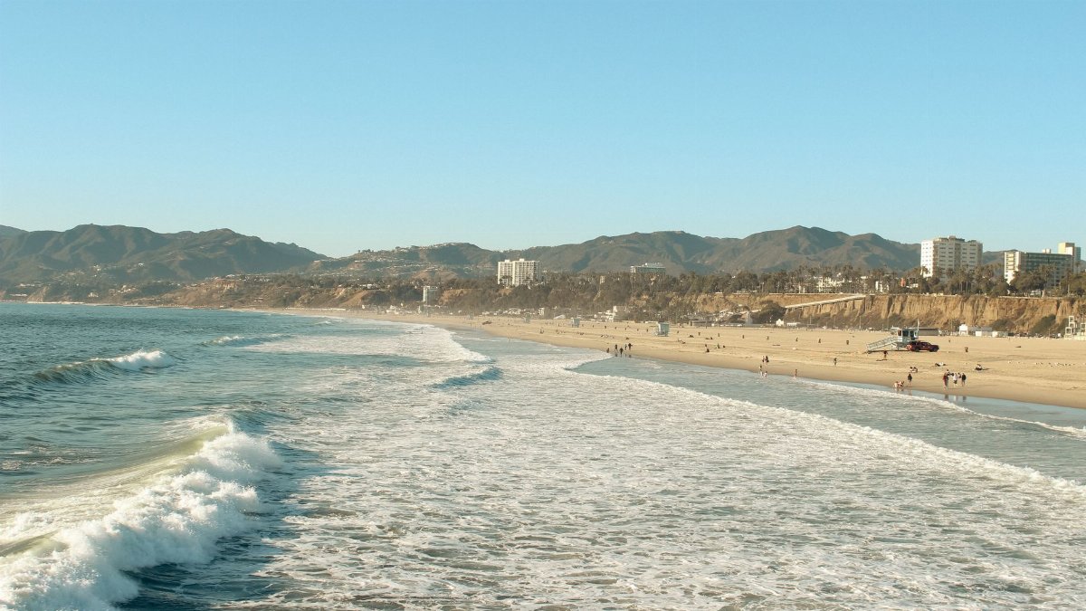
The Westside is not a flat grid with equal escape in every direction. It is a series of neighborhoods pressed against the Santa Monica Mountains, from the Palisades and Topanga through Mandeville Canyon, Bel Air, and the edges of Brentwood. Chaparral covers the slopes. Narrow streets follow old drainage lines. A fire that starts in the backcountry can reach a backyard in minutes when the wind is right.
Fire scientists have long noted that this kind of terrain multiplies Westside LA Santa Ana fire risk, because wind speeds up in passes and canyons. Embers travel ahead of the flame front and land on wood decks, in gutters full of leaves, and under eaves built for shade rather than for fire driven by wind. I have driven Sunset Boulevard on a clear October afternoon and watched the same hills look tame. On a Santa Ana day they do not. The light goes white. Dust replaces the smell of the ocean.
Rain that never quite resets the hills
A single storm can green a lawn and still leave the deeper brush ready to burn. Chaparral dries from the inside. The water held in twigs and leaves drops through summer and often stays low into fall, even after a light rain. Forecasters and fire ecologists watch that lag. They also watch whether the rainy season arrived late, ended early, or skipped the storms that usually soak the mountains.
The U.S. Drought Monitor, updated each week by federal and academic partners, is one public window on that pattern. Southern California can sit in a pocket of abnormal dryness while other parts of the state look recovered. When that pocket overlaps with a strong offshore wind, specialists warn that the Westside and the Santa Monica Mountains face an elevated threat. Limited recent rain is not a footnote. It is the reason a small ignition can become a neighborhood event before the first engine is in place.
Canyons, dead ends, and the problem of leaving
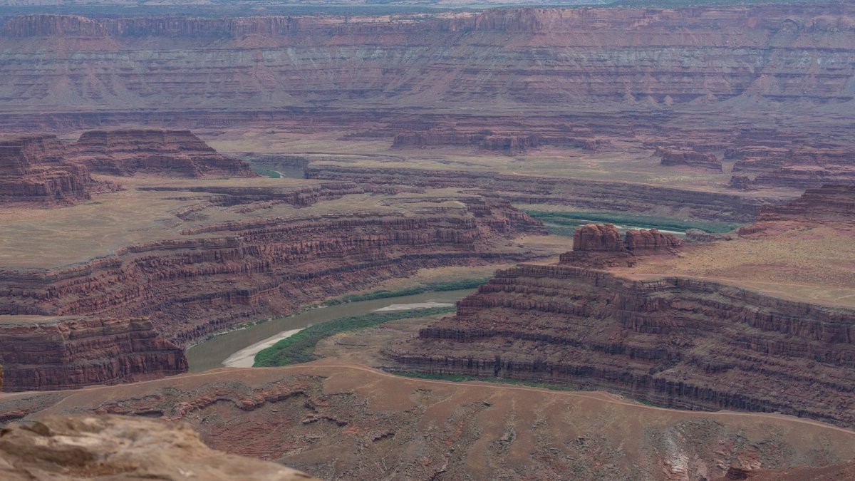
Evacuation is the part of the story that residents rehearse and still underestimate. In a canyon, one accident, one downed line, or one panicked turn can stall a street. Topanga Canyon Boulevard is a lifeline and a bottleneck. Smaller roads above Pacific Palisades were not designed for every household to leave at once. Officials urge people to go early, when the warning is still a warning and not a wall of smoke.
That advice collides with ordinary life. School pickup, a parent who cannot walk quickly, a horse in a backyard, a work call that feels urgent until it does not. The practical question is not whether a family loves the neighborhood. It is whether they know two ways out, and whether those ways still work if Westside LA Santa Ana fire risk becomes an active fire rather than a forecast phrase. Local departments publish maps and alert signups for this reason. The maps are dull until the hour they are not.
What agencies actually look for

On a high wind day, dispatchers and battalion chiefs are not waiting for a headline. They move engines into places where history and terrain say a fire will run. They limit outdoor burning. They ask utilities to consider cutting power when lines might spark. They watch cameras, spotter reports, and the first call that mentions smoke on a ridge.
CAL FIRE and city departments describe the same core triggers: low humidity, strong gusts, and plants ready to burn. The version the public sees is a warning. The operational version is a staffing plan. Neither is theater. A wind event can outrun the first attack if crews are still driving toward a canyon that already has embers in it. That is why the language from experts sounds repetitive. Repetition is the point. The pattern repeats.
Memory of past fires still shapes the block
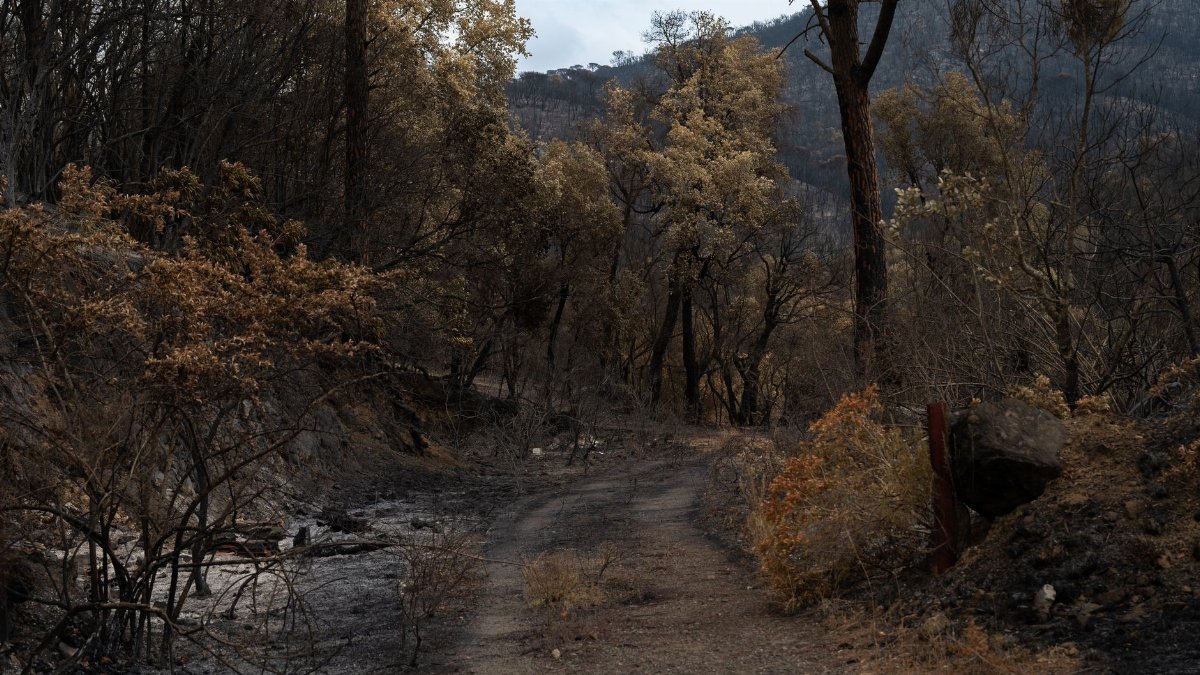
Ask people who have lived here for decades what they fear, and they rarely start with a chart. They start with a year. Some remember flames that pushed through Malibu and the Palisades in earlier decades. Others remember winter fires that tore through hillside streets and left blocks as foundations and chimneys. The details differ by household. The lesson does not. Wind, dry brush, and a spark are not an abstract scenario on this side of the city.
Memory changes behavior in uneven ways. One neighbor clears brush and keeps a radio on the counter. Another assumes the last fire already took the fuel. Regrowth can burn again, sometimes faster, because grasses fill the gaps between shrubs. Assuming the hills are spent after one fire is its own kind of mistake. It does not show up on a satellite image, but it shows up in how slowly a street reacts to the first alert.
Insurance, rebuilding, and the quiet math

After the smoke clears, a different risk remains. Premiums rise. Some carriers leave. A house that survived may still sit in a zone that lenders and insurers now price as hostile. Rebuilding takes years of permits, contractors, and arguments about what cleared space should look like on a lot that was never flat. Families who want to stay weigh that math against schools, work, and the view that brought them here.
This is not a side issue for Westside LA Santa Ana fire risk. It is how the risk enters a kitchen table conversation when no wind is blowing. A warning on a Tuesday becomes a question about whether the policy will exist next year. The California Department of Insurance has spent recent years publishing notices on availability and wildfire coverage as carriers pull back from exposed ground. The human version is simpler. People open a renewal letter and feel the mountains differently.
Preparation that fits a Tuesday afternoon

Experts tend to give the same short list, and it is worth repeating without drama. Clear leaves from roofs and gutters. Move firewood away from walls. Know how to open a garage if the power fails. Keep a folder of documents that can leave with you. Sign up for local alerts. Decide in advance who picks up children and where you meet if phones die. None of this requires a bunker. It requires an hour when the sky is still blue.
Hardening a house matters as much as packing a bag. A fire resistant roof, fine mesh over vents, and a cleared zone near the walls give embers fewer places to start a second fire. The federal ready.gov wildfire pages and local fire officials publish these steps in ordinary language. Following them does not guarantee safety. Ignoring them hands the wind an advantage the neighborhood cannot afford.
A season that no longer feels rare
Santa Ana winds are not a novelty. They are part of the climate of Southern California, named and feared for generations. What has changed is the calendar around them. Dry periods stretch. Heat arrives earlier. More people live where the city meets the chaparral. A pattern that once felt like a few tense days in fall can now show up in winter, after a rainless stretch, when residents have already put the hoses away.
That is the unease behind the latest warnings. Powerful winds do not create the fuel. They reveal it. On the Westside, the reveal is personal because the mountains are not a distant park. They are the fence line. Experts say dry vegetation and limited recent rain leave these slopes particularly vulnerable when the offshore flow strengthens. The latest talk of Westside LA Santa Ana fire risk is not branding. It is a description of a place where the forecast and the backyard are the same landscape. If the wind comes up tonight, the decision about how to leave should already be made.