
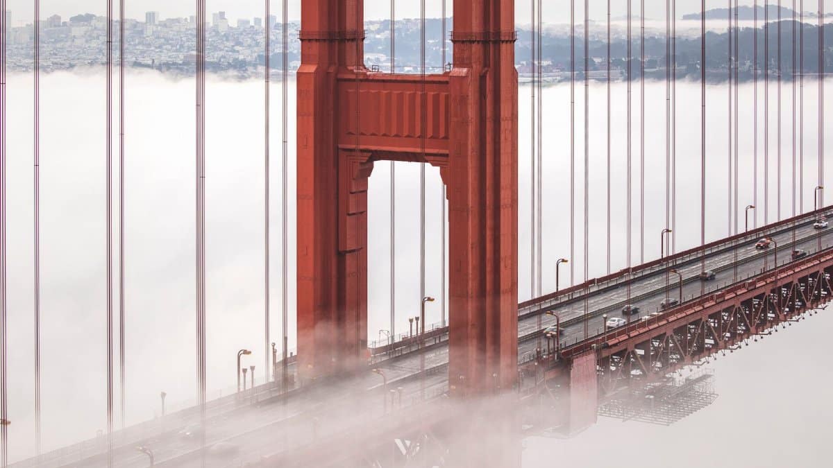
The light over Ocean Beach arrives late and leaves early, filtered through a lid of cloud that never quite becomes rain. People in sweaters check phones between coffee orders, looking for a number that might justify a lighter jacket. The SF September fog forecast offers little comfort to anyone hoping for a sudden burst of heat on the avenues. A cutoff low has held the city near 60 degrees even as communities away from the water head back into the 80s. That split, cool and granite gray at the coast and warmer air beyond the hills, is the story of this week and, in many years, the story of the month.
A month that looks warm on paper

September has a reputation that confuses newcomers. On climate charts kept for downtown and airport stations, it often ranks among the warmer months of the year, shoulder to shoulder with October. Average highs sit in a band that would feel mild in Phoenix and almost hot by local standards, somewhere near 70 degrees on many long term records. The catch is that an average hides the daily argument between ocean and land.
A warm September in San Francisco rarely looks like a warm September in Sacramento or even in Walnut Creek. The city can post its statistically warmest weeks while residents still reach for a coat at noon. Sunshine may win by late afternoon, then lose again after sunset when the marine layer rebuilds. People who moved from drier climates learn to stop trusting the calendar and start trusting the wind direction.
That gap between the statistic and the sidewalk is not a failure of the data. It is the data, properly read. A month can be warm relative to January and still feel restrained next to an inland valley baking under clear skies. The forecast that matters is the one that says where you will actually stand at 3 p.m., not the one that flatters a seasonal average.
The cutoff low and the cool lid

This week’s pattern has a name that sounds more technical than it feels on the skin. A cutoff low is a pocket of colder air in the upper atmosphere that has separated from the main jet stream. Instead of racing east with the usual parade of storms, it lingers. Along the California coast, that lingering often deepens the marine layer and keeps a deck of cloud pinned to the shoreline.
Under that deck, daytime heating struggles. The sun has to burn through moisture before it can warm pavement, roofs, and the shallow layer of air people actually inhabit. If the low sits in the right place offshore, onshore flow continues and the burn off stays incomplete. San Francisco, already cooled by cold ocean water upwelled along the coast, stays near 60 degrees while the cutoff slowly drifts.
Inland, the same feature does not erase heat so completely. Once you cross the coastal hills, the cloud deck thins or never forms. Valleys that spent the previous days in the 70s can ease back into the 80s. The Bay becomes a border, not a uniform climate zone. Commuters feel the border twice a day, once leaving the fog and once driving back into it.
How September fog actually forms
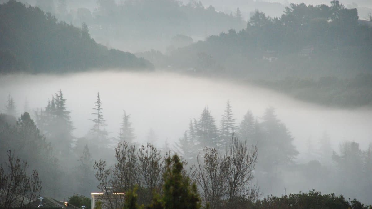
The fog that defines these weeks is less a mystery than a repeating machine. Cold water sits offshore. Warm air from the interior rises on sunny afternoons and draws a replacement flow from the sea. That sea air is moist. When it crosses the cold surface, it cools to its dew point and condenses into cloud. If the cloud base is low enough, people call it fog. If it lifts a few hundred feet, they call it the marine layer and still cancel picnic plans.
September favors the machine for a simple reason. The Pacific is still cold. Inland California is often still hot, because the land remembers summer longer than the ocean does. The pressure difference between hot valley and cool coast keeps the onshore wind alive. Nights are long enough for the cloud to reform, and days are not always long enough or dry enough to clear it from every neighborhood.
Wind gaps matter as much as temperature. The Golden Gate is a door. So are lower passes in the coastal range. Fog pours through those doors, then pools in districts closest to the water. A few miles inland, a ridge can mark the edge between sweater weather and a genuine warm afternoon. Forecasts that speak only of “the city” flatten a landscape that does not flatten.
What an SF September fog forecast is really telling you
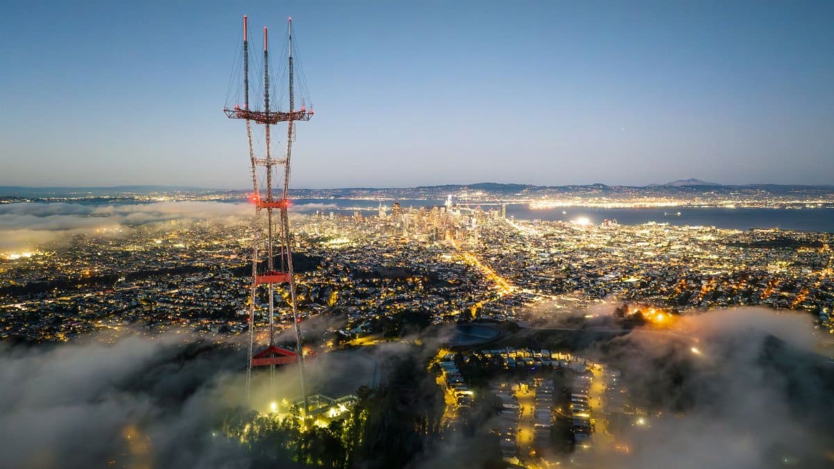
A useful SF September fog forecast is less a single number than a map of timing. It should say when the cloud is expected to thicken, when it might lift, and which side of the hills will see sun first. A high of 62 degrees with clearing after 2 p.m. is a different day from a high of 62 degrees under a solid deck until dusk. Both can be accurate. Only one matches the plan you made.
Readers often want certainty the atmosphere will not give. Cutoff lows wobble. A shift of a hundred miles can open a hole in the cloud or slam the door again. Forecasters at the National Weather Service talk in ranges and in confidence for that reason. A confident cool day on the west side can sit next to a lower confidence call for the Mission or for the East Bay hills.
The practical reading is local. If you live west of Twin Peaks, treat morning sun as a bonus, not a promise. If you live farther from the Gate, watch the afternoon wind. If you are driving inland for a game or a visit, pack for two climates. The SF September fog forecast is a warning against packing for only one.
Neighborhoods that stay cool
San Francisco does not share one temperature so much as it shares a name. The Outer Sunset, the Richmond, and the Great Highway can remain in the upper 50s while a sheltered pocket nearer downtown edges higher. Even then, “higher” may mean the mid 60s, not a heat wave. Shade from cloud matters more than shade from buildings. A south facing wall does little work if the sun never arrives.
Parks tell the same story in smaller print. Ocean Beach can feel raw at noon. Dolores Park, on a day when the fog stops short of the Mission, can feel like a different season. That difference is why arguments about “what the weather is” never end in this city. Everyone is reporting a true observation from a true block.
Visitors who book a hotel by price alone sometimes learn the lesson in the lobby, standing in shorts while locals wear layers. A room with an ocean view in September is often a room inside the cloud. That is not a flaw in the visit. It is the visit, if you came for the coast rather than for a dry heat you can find two valleys away.
Inland heat and the weekend calculus
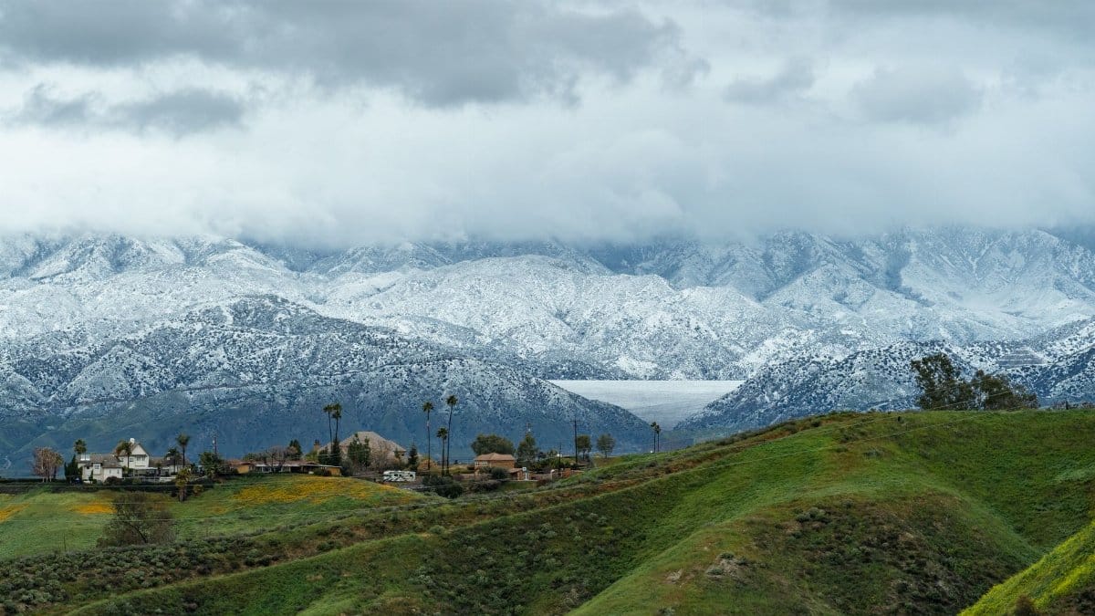
While the city idles near 60 degrees, inland spots heading back into the 80s reset the weekend math. A drive to wine country, the Delta, or the Tri Valley can mean a 20 degree jump in an hour. Families split the difference: morning errands in the fog, afternoon plans where the sky is open. Restaurants near the water keep patio heaters in reach. Restaurants inland put them away.
The contrast also shapes air quality and comfort in ways a temperature icon does not capture. Cool marine air is often cleaner and damper. Inland warmth can come with drier afternoons and, in some fire seasons, with smoke that the coast partly escapes. This week the headline is temperature, not smoke, but the same geography decides both. The hills are a filter as well as a wall.
People who work outside feel the split in their clothing more than in any app. A roofer in the Sunset and a roofer in Concord are not having the same September. One is managing damp surfaces and limited drying time. The other is managing heat, hydration, and a sun that does not quit. Regional forecasts exist because those jobs cannot share a single plan.
Gray light and the body

There is a mood that arrives with a week of incomplete sun, and it is worth describing without romance. Sleep can run long because bedrooms stay cool. Morning walks feel heavier when the horizon disappears. Some residents welcome the quiet. Others feel a low grade restlessness, the sense that summer left while the calendar still claims it.
Doctors tend to talk about this in plain terms rather than in poetry. Less bright light can tug at energy and at the desire to be outside. Damp air can bother sinuses. None of that makes the fog dangerous. It does make a stretch of gray days feel longer than the thermometer suggests. A high near 60 degrees is comfortable for many bodies and still oddly tiring if you expected glare and dry heat.
The remedy most locals already know is movement between microclimates. A trip across the bay, a hilltop that sits above the deck, or simply a late walk if the cloud lifts can reset the day. The forecast is useful here as permission: if clearing is likely after midafternoon, save the outing. If the deck is locked in, choose an indoor plan without treating that choice as defeat.
When the pattern can break
Cutoff lows do not last forever. They drift, fill, or get picked up by a new branch of the jet stream. When the upper low moves away, the marine layer often thins. Onshore flow can weaken if inland heat eases or if high pressure builds overhead in a way that flattens the pressure gradient. Then September shows the face that appears on postcards: blue gaps, a high closer to 70, and fog that retreats to the immediate coast by lunch.
The break is rarely total. Even in a “warm” San Francisco week, nights cool quickly and western neighborhoods can recloud. A forecast that promises several clearer days should still be read block by block. The ocean has not warmed just because a low pressure pocket left. Upwelling and the cold California Current remain. They are the reason the city never fully joins the inland heat season.
Watching the next shift means watching wind, cloud height, and the position of that upper low, not only the icon on a phone. A rising cloud base is often the first honest sign that the sun will work. A wind that stays onshore into the afternoon is often the sign that it will not. Those details are the real content of an SF September fog forecast, more than any single high temperature.
Living with a season that refuses drama

San Francisco in these weeks asks for a smaller kind of attention. The drama is not a blizzard or a triple digit day. It is the patience of a cloud that will not commit to rain and will not commit to leaving. Residents who have stayed long enough stop narrating that fact as betrayal. They buy the extra layer, they learn which streets clear first, and they treat inland heat as a neighboring country rather than as the true version of their own weather.
The statistically warmest weeks can still be the weeks you remember as gray. That memory is accurate. Warmth here is comparative, a few degrees above the cold months, held in check by water that does not care about calendars. A cutoff low only sharpens a pattern the coast already knows. Near 60 degrees in the city, back toward the 80s inland: the sentence is familiar because the geography is stable.
If you are planning the days ahead, read the SF September fog forecast as a local document. Ask where the cloud will sit, not only what the high will be. Ask which hour might bring sun, and which neighborhood will never see it. The answer will not always be glamorous. It will be useful, which is what a forecast is for when the ocean is doing most of the deciding.