

By late afternoon the parking lot at a big box store in Irving still throws heat back at anyone who pauses between the cart corral and the car. Shoppers move quickly, windows cracked, air conditioning already roaring. After weeks of the same punishing pattern, a modest shift in the sky has become local news. The DFW cold front forecast now circulating from the National Weather Service office in Fort Worth describes a weak boundary that may trim the worst of the highs and bring a chance of rain after 62 dry days at DFW Airport.
A front that arrives without drama

Forecasters are not promising a season turning event. They are describing a shallow push of slightly cooler air, the kind that can slip through North Texas and leave only a few degrees and a thicker cloud deck behind. In a summer that has felt stuck, even a small change registers. Residents have learned to distrust language that sounds larger than the atmosphere can deliver, and this system fits that caution. It is a front in the technical sense, a change in air mass, but it lacks the sharp wind shift and temperature crash that people remember from October.
That modesty is the story. A strong front clears haze, drops overnight lows into sweater weather, and resets the week. A weak one negotiates with the heat already stored in pavement, rooftops, and bare soil. The result is often a forecast that looks better on a map than it feels on a sidewalk at 4 p.m.
Sixty two dry days and what they leave behind

The dry streak at DFW Airport is the number that gives the forecast its weight. Sixty two days without measurable rain is not a curiosity. It is a stretch long enough to brown lawns, drop creek levels, and turn every passing cloud into a public question. Airport gauges are not the whole region. A shower can soak McKinney and miss the official sensor. Still, the airport record is the regional benchmark, and it has been silent.
Dry ground changes how the next rain behaves. Hard packed soil sheds water instead of absorbing it. A brief downpour can pond in low intersections even when the seasonal total remains bleak. Gardeners know the other side of that coin. A tenth of an inch wets the surface and evaporates before roots notice. The forecast therefore has to be read twice, once for relief and once for whether the rain will actually stick.
How the Fort Worth office frames the change
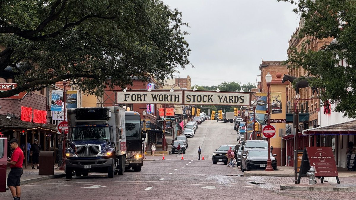
The National Weather Service forecast office in Fort Worth has been the steady voice through the heat, updating graphics as models wobble from run to run. Its latest read, summarized by The Dallas Morning News, points to slightly cooler highs and a rain chance tied to the approaching boundary. That is a careful sentence. Slightly cooler is not cool. A chance is not a promise. The wording matters because people plan youth sports, concrete pours, and outdoor shifts around a single number on a phone screen.
I have watched enough Texas summers to treat the first hint of a front as a rumor until the wind actually turns. The office does not have that luxury. It has to publish a most likely path while saying, in the fine print of probabilities, that the path can still fail. Readers who want the DFW cold front forecast in plain language should hear both parts: a nudge down in temperature, and rain that is possible rather than locked in.
What slightly cooler really means

A drop of a few degrees can still matter when the baseline is dangerous. Heat illness is not only about the afternoon peak. It is about how little the night recovers. If clouds arrive with the front, overnight temperatures may not fall as far as a clear, dry night would allow. The day can feel marginally easier while the bedroom stays warm. That trade is common with weak summer boundaries.
Work crews, letter carriers, and people who wait for buses will notice a breeze more than a number. Wind from a new direction can flush stagnant air out of parking structures and school courtyards. It can also push smoke or dust. Comfort is local. A shaded porch in East Dallas and an open construction site in Alliance do not share the same afternoon, even under the same forecast headline.
Rain chances without a guarantee

Model agreement often frays right where North Texas needs clarity. One solution paints a broken line of storms along the front. Another keeps the deeper moisture to the east or south and leaves the metro with sprinkles. Forecasters respond by raising rain chances into the scattered range and refusing to draw a bullseye over downtown. That honesty frustrates anyone planning a wedding on a patio. It is also the only honest product the atmosphere will support.
If storms do form, they may be brief and uneven. Some neighborhoods could hear thunder while others watch the same gray sky produce nothing. Lightning remains the hazard that does not care how weak the front is. A single cell can force fields to clear. People should treat any rumble as a reason to get indoors, not as proof that the drought has ended.
Drought, haze, and the air people breathe
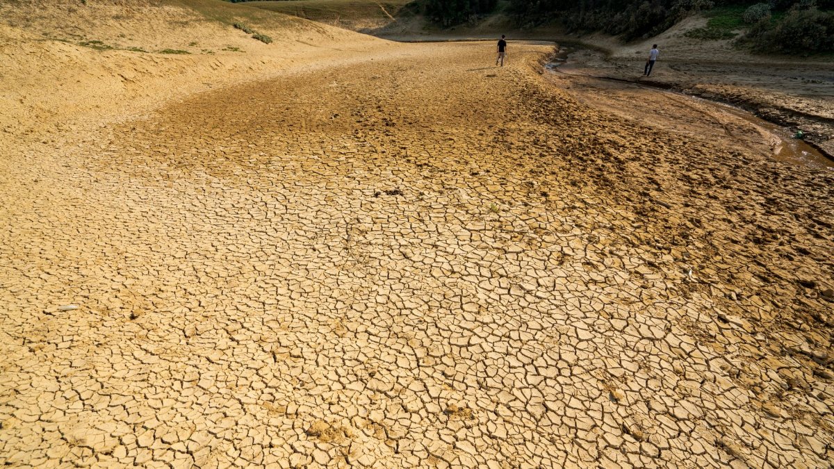
Long dry spells leave more than thirsty lawns. Fine dust lifts off fields and construction sites. Ozone can build on stagnant, sunny days when traffic emissions cook in the heat. A front sometimes scrubs that mix by stirring the lower atmosphere. Sometimes it only rearranges it. Health officials have spent the summer urging sensitive groups to limit midday exertion when air quality alerts are posted. A cooler headline does not cancel those alerts by itself.
Parents checking practice schedules should look at heat and air together. A youth soccer game moved to 7 p.m. can still land in poor air if the front stalls and the evening stays still. The forecast is a weather story and a public health story at once, even when no formal warning is in effect.
Cities built to hold the heat
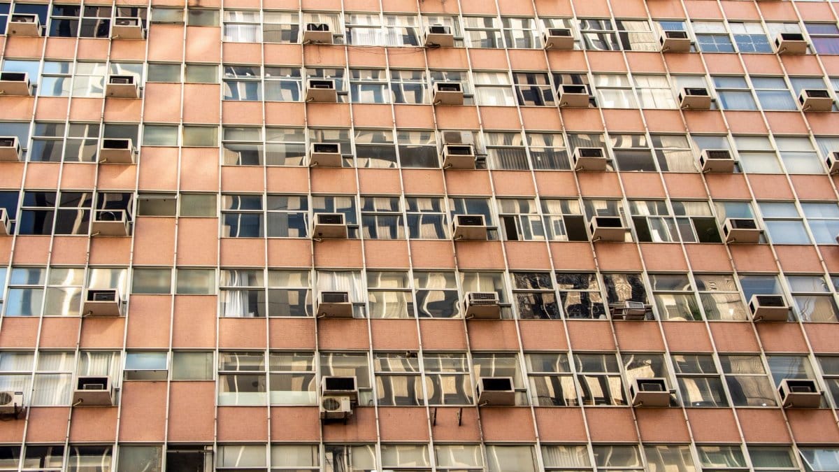
Dallas Fort Worth stores summer in concrete. Highways, warehouse roofs, and dark commercial lots release heat after sunset, which is why a rural thermometer and a downtown one can disagree by several degrees. A weak front has to overcome that stored energy before residents feel a true break. Parks with mature trees cool faster than new subdivisions where shade trees are still saplings. The same forecast, read in two zip codes, can describe two different evenings.
Water utilities watch these stretches closely. Demand spikes when everyone runs irrigation on the same hopeful night. A forecast that mentions rain can paradoxically increase outdoor watering if people assume the rain will be too light to count and decide to supplement it. Conservation messages tend to get lost between the heat index and the weekend plans.
Schools, stadiums, and shift work

August and early September pile obligations onto hot afternoons. Marching bands rehearse. Cross country teams log miles. Warehouses stage holiday inventory earlier every year. A front that shaves the peak temperature can be the difference between a modified practice and a canceled one, but only if athletic trainers trust the update and not last night’s group text. The useful habit is to check the forecast again in the morning, when the boundary is close enough for radar and surface observations to matter more than a model from two days prior.
Employers with outdoor crews already know the drill: earlier starts, more water, longer breaks. A weak front is not a reason to drop those practices. It is a reason to reassess them hour by hour. Heat risk does not vanish because a cold front is on the map. It recedes only when the air, the sun angle, and the workload actually change.
Commuters and the first storms

The first rain after a long dry spell has a reputation on North Texas freeways. Oil and dust film the pavement, and the opening minutes of a shower can be slicker than a steady rain. Visibility drops fast when a storm dumps on an elevated interchange. If the DFW cold front forecast verifies with storms near the evening rush, delays will come less from flooding than from cautious braking and a few spun out vehicles in standing water at poorly drained exits.
None of that requires a major flood event. It requires ten minutes of heavy rain on roads that have not been washed in two months. Drivers who leave a margin, and who do not treat the first drops as a spectacle, will have an easier trip than the forecast numbers alone suggest.
Reading the update without overreading it

A good forecast is a living document. The useful version is the one issued closest to the event, not the one screenshotted for a group chat on Monday. Probability of precipitation is widely misunderstood. A 40 percent chance does not mean it will rain 40 percent of the day, and it does not mean 40 percent of the city is guaranteed a soaking. It means that at a given point, the odds of measurable rain are about four in ten. Spread across a metro of this size, that often looks like winners and losers separated by a few miles.
Temperature forecasts deserve the same humility. A high of the mid 90s after a run of triple digit days is relief. It is not autumn. People who pack for the number on the app and ignore humidity will still step outside and reconsider. Dew points tell as much of the comfort story as the high itself.
Why weak fronts keep disappointing
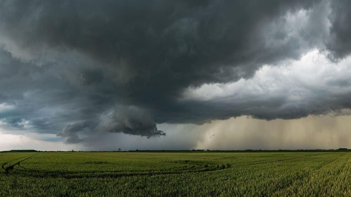
Late summer fronts often lose their identity before they reach the metro. The parent high to the north is not strong enough to drive cool air all the way to the Gulf influence that usually owns this region. The boundary stalls, washes out, or lifts north again as a warm front. Each of those outcomes has happened in recent seasons, which is why veteran residents greet cold front language with a raised eyebrow. The skepticism is earned. It should not become fatalism. Some of these boundaries do deliver the shower that breaks a streak, even if they do not deliver a new season.
The DFW cold front forecast sits in that narrow space between cynicism and hope. It is specific enough to plan around and modest enough to keep plans flexible. That is a healthier posture than either ignoring the heat or declaring the drought over because a cloud looked promising at lunch.
Lawns, trees, and the temptation to overwater

Home landscapes show the dry streak more honestly than any graphic. St. Augustine lawns go gray at the edges. Young trees planted in spring droop by midafternoon even when the soil an inch down still feels faintly damp. A forecast rain chance tempts people to skip a deep watering and then to panic water when the chance busts. Arborists generally prefer infrequent, deep soakings to daily sprinkles, and they prefer those soakings in the early morning so less is lost to evaporation.
A light rain on top of a shallow watering can leave roots near the surface, which makes the next hot week harder. If the front produces only a trace, the sensible move is to treat it as a bonus, not as the week’s irrigation. Established native plantings will recover from browning faster than people fear. New sod will not.
What would count as real relief

Real relief would look like repeated nights in the 60s, a soaking rain measured in inches rather than hundredths, and a week in which the heat index stops leading the local news. This front is not that. It is a possible interruption. If it verifies, highs ease, a few gauges record rain, and the official dry streak at the airport ends or at least comes under threat. If it does not, the pattern resumes and the next boundary becomes the new object of attention.
Either outcome is information. A busted chance tells forecasters where the moisture failed. A verified chance tells residents that the atmosphere can still organize a drink of water even in a hostile pattern. The DFW cold front forecast is worth following for that reason, not because it promises a transformation.
A practical way to use the next two days

Check the morning update before committing to an outdoor plan. Watch wind direction as much as the icon on an app. A shift and a thickening cloud deck are better evidence than a single model snapshot. Keep water in the car. Move sensitive tasks away from the hottest hours even if the high is lower than yesterday. If thunder appears, go inside. If rain falls, do not assume the drought math has changed until a gauge, not a feeling, says so.
North Texas has endured this kind of summer before, and it will again. The present question is smaller and more useful. Can a weak front take the edge off, and can it put a measurable rain in the book at DFW Airport after 62 dry days? The DFW cold front forecast says maybe, with the accents on slightly and chance. In this heat, maybe is not nothing. It is the first sentence of a better week, waiting to see if the sky will finish it.