

The streets of Boston have long been a battleground for competing visions of urban mobility. With growing concerns over congestion and the desire for efficient public transport city planners have unveiled an updated scheme. The Blue Hill Avenue redesign seeks to retain essential bus infrastructure while expanding options for private vehicles and parking spaces. This development reflects a shift toward compromise in a city where space is at a premium and opinions run strong. Local leaders including those at the Massachusetts Bay Transportation Authority worked closely with community groups to shape the outcome after earlier concepts drew sharp criticism for limiting car access.
Origins of the Revised Plan
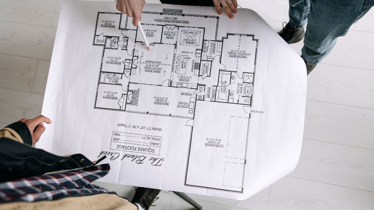
City officials examined years of data on traffic patterns along the corridor from Grove Hall to Mattapan Square. They discovered that strict limits on automobile lanes created backups that affected buses as well. The new approach adds dedicated space for cars alongside the central bus lane to improve overall movement. Residents expressed relief that parking would return in several sections easing daily routines for families and small businesses.
Role of Community Input

Public meetings played a central part in altering the original concepts. Attendees voiced worries about access for emergency vehicles and deliveries. Planners responded by widening certain segments and adjusting signal timings. This process showed how sustained dialogue can lead to practical adjustments that serve a wider group of people.
Impact on Daily Commutes
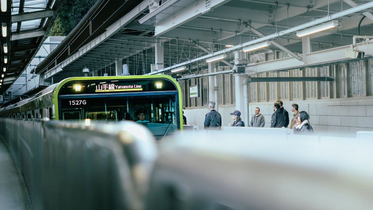
Drivers may notice smoother flows during peak hours once construction finishes. The added lanes aim to reduce the bottlenecks that previously forced many to seek alternate routes. Bus riders should still benefit from the protected center lane which maintains priority during rush periods. Early modeling suggests modest gains in average travel times across modes.
Business Community Perspectives
Shop owners along the avenue welcomed the return of curbside parking as it supports quick stops by customers. Some expressed hope that better traffic management will draw more visitors to the area. Others noted the need for clear signage to prevent confusion during the transition phase. Overall the sentiment leans positive with calls for ongoing monitoring.
Environmental Considerations

Although the plan favors cars in some ways it keeps strong support for bus use which can lower emissions per passenger. Officials plan to plant additional trees and improve sidewalks to encourage walking. Air quality measurements will continue to track any shifts after implementation. The balance seeks to advance both mobility and sustainability goals.
Comparison with Prior Proposals
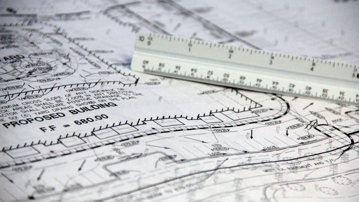
Earlier versions emphasized dedicated bus lanes at the expense of general traffic capacity. Feedback led to a hybrid model that integrates all users more evenly. This evolution highlights the challenges of retrofitting older infrastructure for modern demands. Similar adjustments appear in other cities facing comparable pressures.
Next Steps for Implementation
Construction is slated to begin in phases with the first segment near Mattapan Square. Funding comes from a mix of state and federal sources dedicated to transit enhancements. Regular updates will be shared through public forums and online portals. Success will depend on careful coordination among multiple agencies.
Broader Implications for Boston
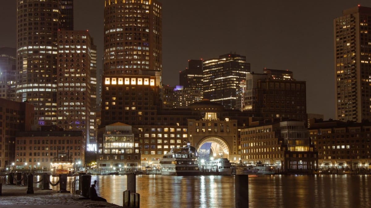
The outcome here may influence future projects across the region as leaders seek workable compromises. It underscores the value of flexibility when addressing complex urban issues. Observers will watch closely to see how the corridor performs once open to full use.