
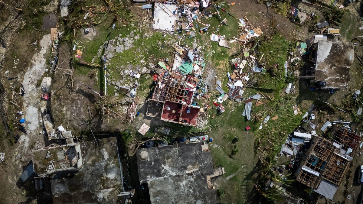
Along a stretch of Mexico’s Pacific shore, the morning had the heavy quiet that comes before a long rain. Shopkeepers pulled metal gates halfway down. Bus drivers argued over whether the mountain road would stay open. Tropical Storm Vance had slipped below hurricane strength, yet the change in category did little to calm people who know how quickly a wet season can turn a street into a river. Forecasters said the center was still offshore, close enough for bands of rain to reach land through the day and into the night. For families in low country and for towns tucked against steep hills, the weaker label was not a reason to relax. It was a reason to watch the sky, the drains, and the radio with equal care.
A weaker label with a stubborn threat

A hurricane and a tropical storm are not the same animal, and the distinction matters. Hurricane force winds tear roofs, snap power lines, and push a higher storm surge onto the beach. When a system drops below that threshold, the wind threat usually eases. What often remains is a broad field of moisture, slow movement, and rain that falls for many hours in the same places. That is the situation now facing Mexico’s western coast. The storm has lost the headline intensity that draws the loudest alerts, but it has not lost the capacity to flood neighborhoods, close highways, and isolate villages that depend on a single road.
Meteorologists judge these systems by sustained wind, yet residents judge them by what arrives at the door. A night of pounding rain on saturated ground can do more harm than a brief burst of stronger wind. That gap between the official category and the lived danger is where confusion starts. People hear that the hurricane is over and assume the emergency is over. Along this coast, that assumption has been costly before.
The coast in the path
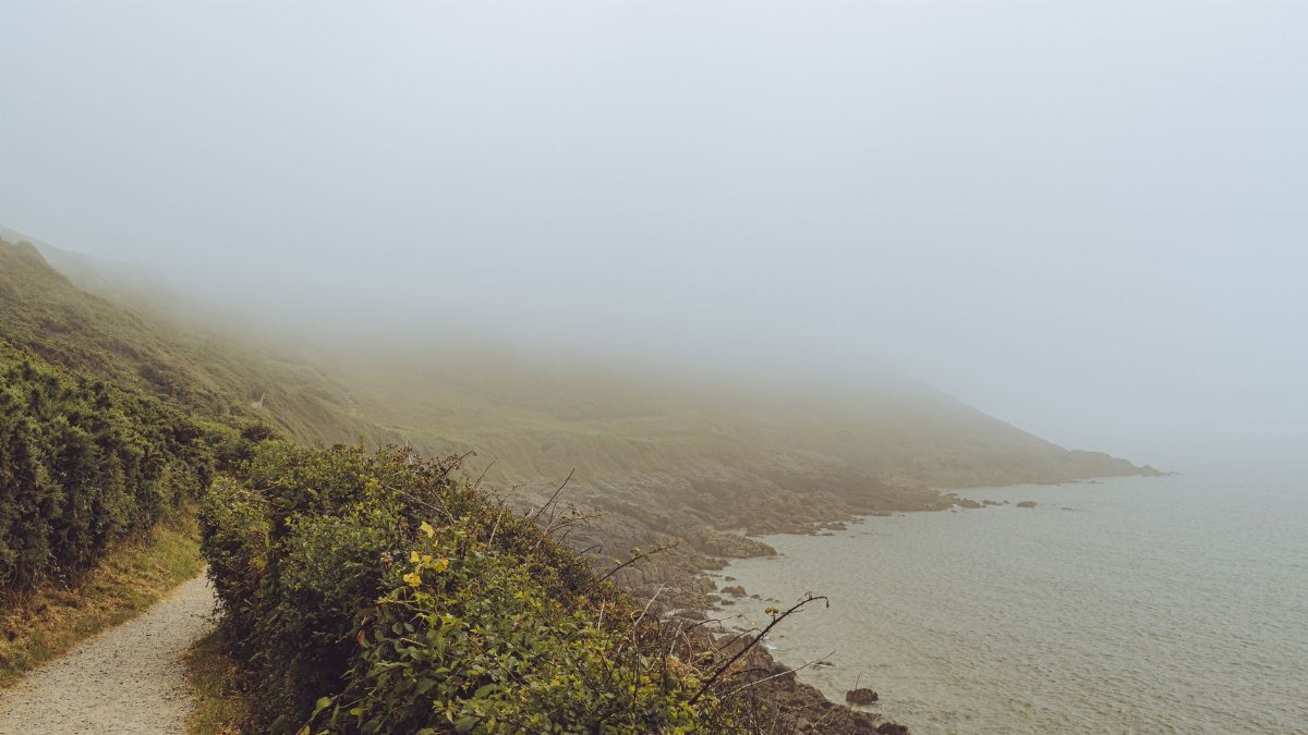
Mexico’s Pacific shoreline is long, varied, and densely lived in places that look empty on a map. Fishing ports, resort strips, farming towns, and hillside colonias sit within a few hours of one another. Tropical Storm Vance does not need to make a dramatic landfall to affect several of those western states at once. Outer rain bands can swing inland while the center remains over water, soaking one watershed in the morning and another after dark.
The geography works against quick drainage. Rivers drop out of the Sierra Madre and flatten near the sea. When upstream rain arrives faster than the channel can carry it, low streets fill even if the beach looks calm. Mountain roads, cut into slopes already wet from the season, become the weak link between a town and the hospital, the market, or the next city. A storm that looks modest on a satellite loop can still divide a region into pockets that cannot reach one another.
Rain, not wind, as the main concern
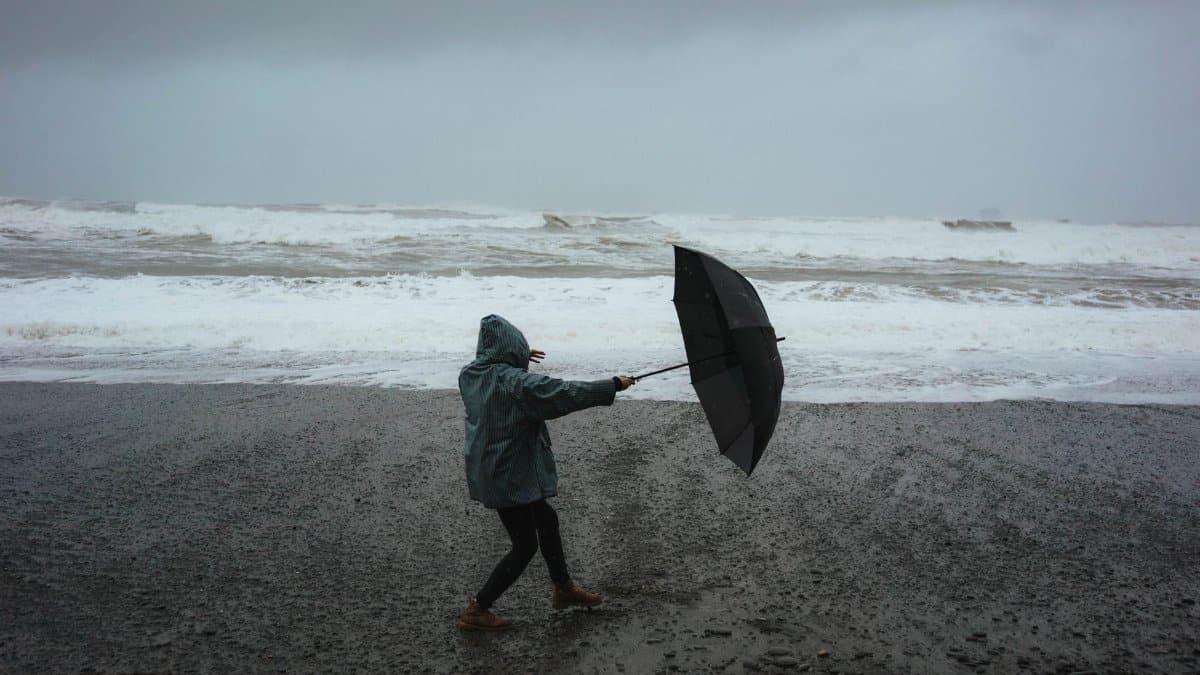
Forecasters tracking the system have emphasized heavy rain and the flooding that follows. That emphasis is not a softening of the message. It is a redirection. Wind damage is visible and sudden. Flood damage is often slower, then abrupt. A culvert holds, holds, and then fails. A river that looked ankle deep at noon is chest deep by evening. Cars stall in water that seemed crossable a minute earlier.
Coastal surf can still be rough, and swells may make small boat travel unwise even after the strongest winds have faded. Storm surge from a tropical storm is typically lower than surge from a hurricane, but water piled against the shore can block drains just when the rain is heaviest. When the sea and the street fight for the same outlet, neighborhoods flood from two directions. That combination, more than any single gust, is what local emergency managers tend to fear once a cyclone has weakened.
Rivers, hillsides, and the flood math
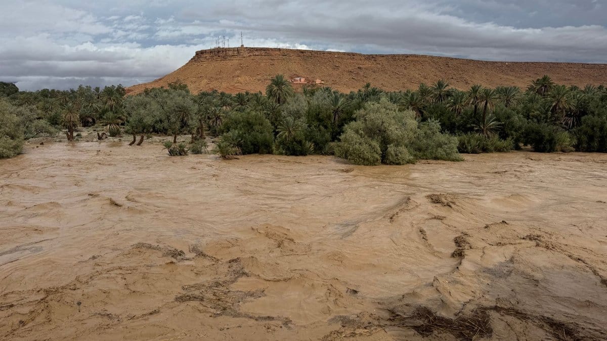
Flood risk is a matter of timing as much as volume. If the ground is already wet from earlier rains, less new water is needed to start runoff. If a storm lingers, the same slopes receive hour after hour of rain instead of a quick pass. Western Mexico has both conditions in a typical late season setup: a landscape that has been rained on for months, and a Pacific system that can slow as it nears land.
Landslides are the quiet partner of that math. A hillside that has stood through ordinary afternoon storms can give way when water works into the soil for a full day. The debris does not always fall on empty land. It falls on roads, on houses built into cuts, and on the paths children use to reach school. Clearing those slides takes machinery that may itself be stuck on the far side of the blockage. The result is not only damage but delay, and delay is what turns a manageable emergency into a prolonged one.
How local officials are responding
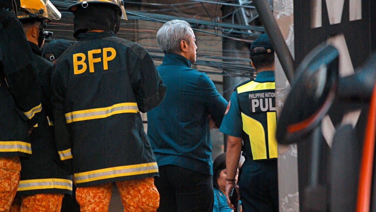
In storms of this kind, state and municipal governments usually shift from wind preparations to water preparations. Shelters open in schools and gyms on higher ground. Crews try to clear drains before the heaviest bands arrive, knowing they may not get a second chance. Police and civil protection teams urge people in flood prone blocks to leave early, while the road is still passable, rather than at the moment the water rises.
The message is simple and hard to follow. Leave if you are told to leave. Do not drive through flooded streets. Keep a charged phone, drinking water, and a plan for relatives who cannot climb stairs. Those instructions sound routine because they are repeated every season. They are repeated because they are the difference between a wet night and a fatal one. Officials also watch rivers that do not crest until after the rain has eased, which means the all clear can lag the sky by many hours.
What satellite pictures cannot show
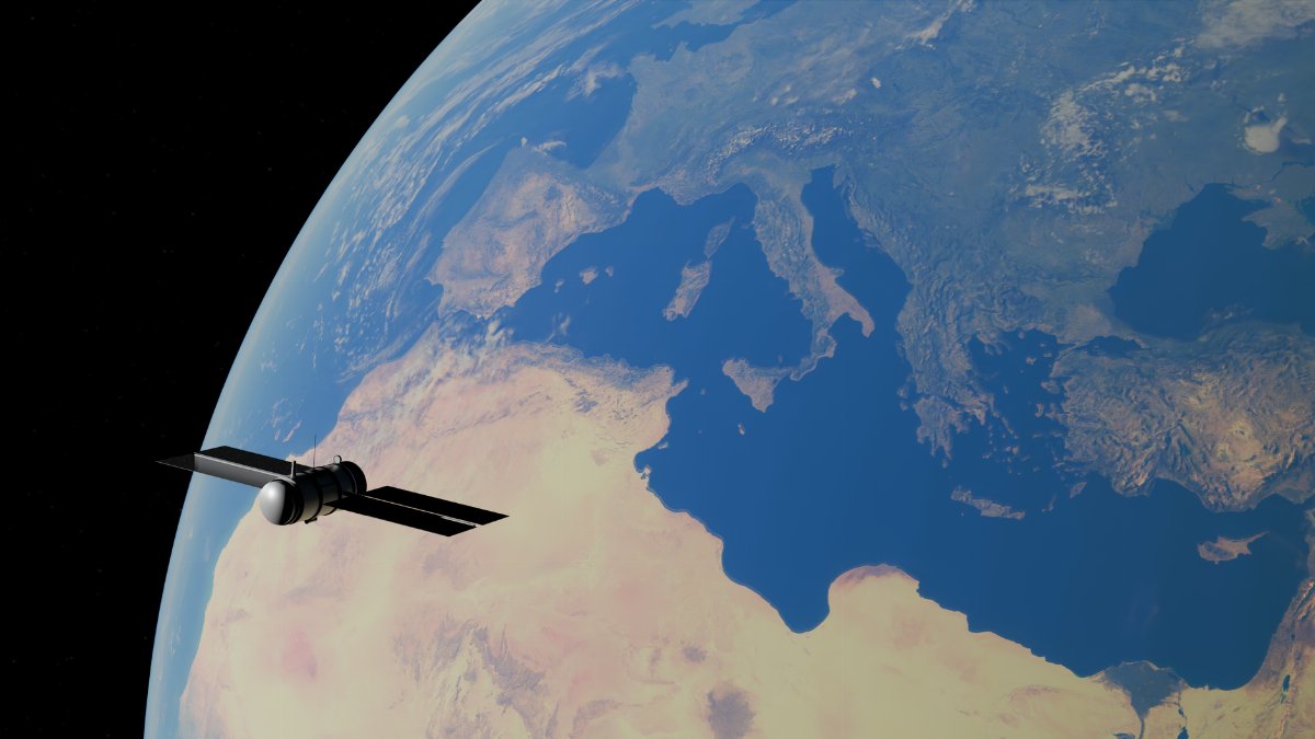
From space, Tropical Storm Vance may look organized or ragged depending on the hour. A tight swirl suggests a storm that still has structure. A looser cloud mass can look less threatening and still dump enormous rain. Satellites are essential, and they are incomplete. They do not show a clogged drain in a colonia, a bridge with a cracked abutment, or a family that has nowhere to go if the ground floor floods.
That is why local reports matter as much as the track. A civil protection office that logs rising river levels, closed highways, and power cuts gives a truer picture than a single wind reading at the center. Journalists and residents alike should treat the category as a starting point, not a summary. The storm’s name staying in the news after the hurricane flag comes down is itself a kind of information. It says the threat has changed shape, not vanished.
Memory of other Pacific seasons
People on this coast do not meet each storm as a blank page. They remember nights when a weakened cyclone still closed the port, when a river took a bus stop, when a resort town and a farming town lived the same rain in entirely different ways. Tourism districts may have generators and elevated hotels. Nearby settlements may have neither. Any honest account of Tropical Storm Vance has to hold both realities. The postcard beach and the unpaved street can sit ten minutes apart and face unequal risk.
Those memories also shape trust. If earlier warnings felt overstated, some residents wait too long. If earlier warnings were ignored by people in power, others assume help will not come. Neither habit is safe. The useful memory is narrower: water, not the label on the storm, is what has most often done the lasting harm on this shoreline.
Faith halls and neighbor networks
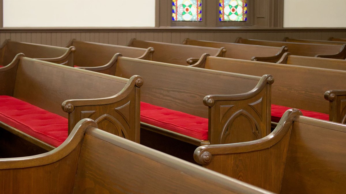
In many western towns, the first dry floor is not a government building. It is a church hall, a neighborhood chapel, or a courtyard that families already know how to find in the dark. Congregations stock mats, share phone trees, and check on elders who live alone. That work is practical before it is spiritual, and it is spiritual in the plain sense that people refuse to let neighbors face the water by themselves.
A storm does not require a sermon to become a moral event. It asks who has a second story, who has a car, and who will walk back into the rain to bring someone else out. Those questions surface every season. They surface again now, while Tropical Storm Vance is still offshore and the choices are still open. Waiting until the street is a river turns a shared duty into a rescue.
What the next day should settle
The useful forecast is not a single number. It is a sequence. Where are the rain bands now. Are they training over the same hills. Are rivers still rising after the clouds thin. Has the center moved far enough west or inland that new moisture will stop feeding the same valleys. Until those answers are clear, the storm remains a coastal problem even if the wind no longer qualifies as a hurricane.
Readers far from the Pacific can treat this as a distant weather item. Families in the path cannot. For them the story is the next road closure, the next crest, the next decision about whether to sleep upstairs. Tropical Storm Vance has already done the thing that matters most in public language: it has shed the hurricane name without shedding the rain. The coast will learn, over the coming day and night, whether that rain stays a hard inconvenience or becomes the kind of flood people measure their year by.