
On a map of the Atlantic, the eye is trained to look west, toward warm water and familiar coastlines. This time the mark sat far to the east, a small curl of cloud and wind in waters that most Texans will never cross. Forecasters gave the system a plain designation, Tropical Depression Six Azores, and placed it hundreds of miles from those Portuguese islands, with winds that barely qualified for a numbered depression. The bulletin was brief. The distance from Houston was the point that mattered at the breakfast table.
What the first advisory actually said

The National Hurricane Center reported that the depression had formed about 525 miles southwest of the Azores, with maximum sustained winds near 35 mph. That line, available through the center’s public pages at nhc.noaa.gov, located the system more clearly than a satellite loop alone. It also answered the question many readers ask before they ask about rain or surf. Is this a Gulf story? On the evidence in that advisory, it was not.
A depression is a tropical cyclone whose strongest sustained winds stay at or below 38 mph. At 35 mph, this one sat inside that band, organized enough to earn a number and not strong enough to earn a name. Numbers come before names for a reason. They mark a circulation that forecasters can track, while leaving room for the system to fade, strengthen, or change character over open water.
A label that is also a place

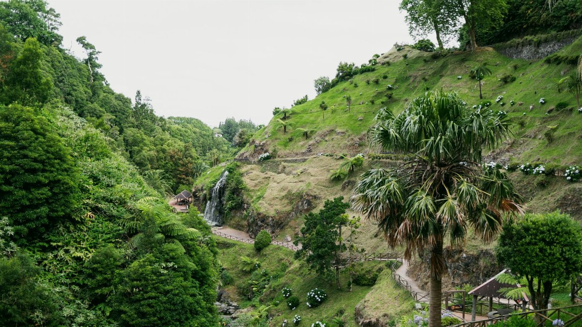
The phrase Tropical Depression Six Azores works as a geographic label as much as a meteorological one. The Azores are a Portuguese archipelago set in the eastern Atlantic, closer to Europe than to any American beach. Ships, fishing crews, and island residents know those waters as ordinary geography. For a Houston reader, they can feel like the far margin of a weather map, a corner glanced at and then ignored.
That margin is not empty. Late summer and early autumn often send disturbances across the basin, and a few of them spin up near the islands rather than near the Caribbean. Some never threaten land in any serious way. Others bring bands of rain, gusty wind, and a messy sea to the Azores before they slide toward cooler water and lose their tropical structure. The islands have their own forecasts, their own harbors, and their own reasons to pay attention.
Why a number appears before a name

The Atlantic list of storm names is reserved for systems that reach tropical storm strength, generally sustained winds of 39 mph or higher. Until that step, the center uses a number. Six simply means this was the sixth depression of the season to meet the criteria, not that five earlier systems are still on the map, and not that a famous name is waiting in the wings.
Readers sometimes treat the number as a promise of escalation. It is not. Many depressions remain depressions. Some become storms for a day and then weaken. A few grow into hurricanes far from shore and still never matter to a particular coastline. The number is an accounting tool. It keeps the discussion precise when several circulations exist at once, and it prevents a weak system from borrowing the drama of a name it has not earned.
Thousands of miles from the Texas coast
Nothing in the early file on Tropical Depression Six Azores pointed toward the Gulf of Mexico. The Azores lie on the opposite side of the ocean from Galveston, Corpus Christi, and the Louisiana marsh. Even a fast moving circulation would need a long, improbable journey, and a cooperative atmosphere, to become a Texas wind problem. Distance is not a guarantee against every future storm. It is a very strong argument against this one, as described.
That distinction is worth holding. Coastal communities have learned, sometimes harshly, that a wave off Africa can become a household name. They have also learned that not every circled low on a morning graphic belongs in the same sentence as an evacuation route. Confusing the two wastes attention. It also dulls the real warnings when a system actually enters the Caribbean or the Gulf and the timelines shrink from days to hours.
Wind, pressure, and a modest first look
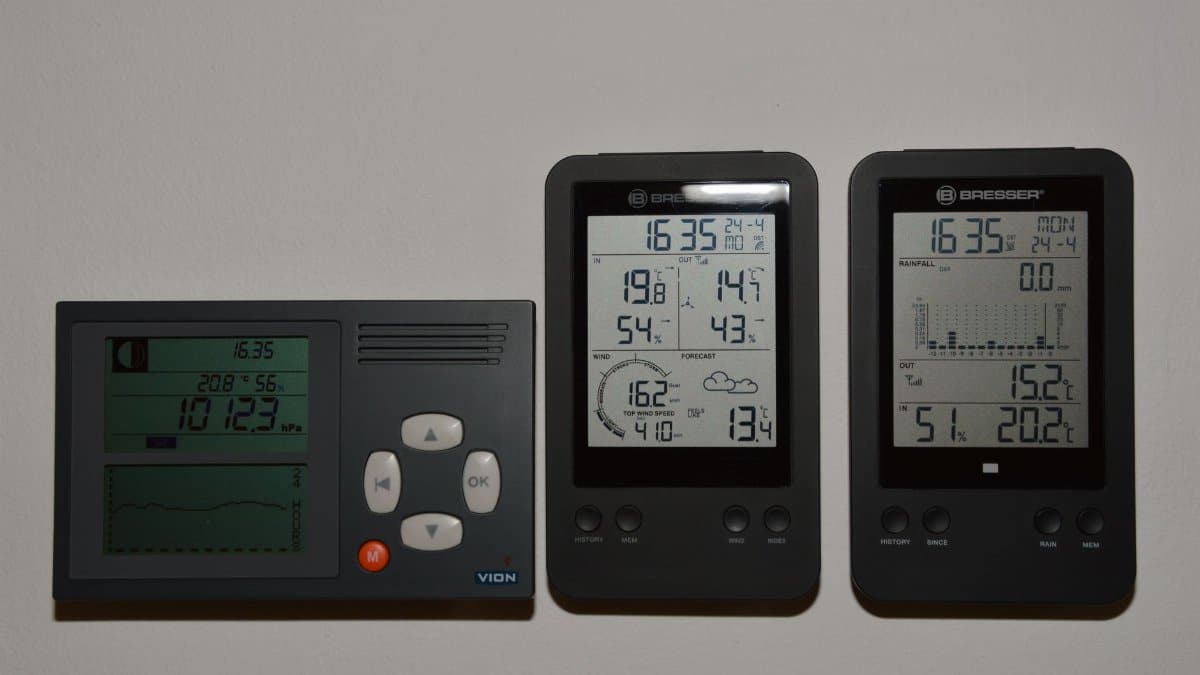
Thirty five miles per hour is a brisk wind on a pier and a modest wind inside a tropical cyclone. It can roughen the sea, tilt small trees, and make a ferry ride unpleasant. It is not, by itself, the wind that strips roofs or drives a surge up a bayou. Forecasters still publish it because the threshold matters, and because the trend matters more than the snapshot. A depression that holds together can strengthen. One that ingests dry air or crosses cooler water can come apart.
Pressure tells a related story. A loosely organized depression often shows a broad, unimpressive center rather than a tight eye. Satellite analysts look for curved bands, a persistent low level spin, and thunderstorms that stay near that spin instead of shearing away. If those pieces line up, the next advisory may raise the winds. If they do not, the number can disappear from the map as quietly as it arrived.
Steering currents over open water

Tropical systems do not choose a coast. They follow the larger wind field around them, the same way a leaf follows a stream. Near the Azores, that stream often bends toward the northeast, into the westerlies that cross the North Atlantic toward Europe. High pressure to the south or east can block a path. A trough swinging off the Canadian Maritimes can pick a system up and accelerate it. None of those patterns, described in general, puts this depression on a line for Texas.
Mariners care about those currents for different reasons. A depression can cover a wide area with squalls even when its peak wind is modest. Swells travel farther than the clouds. Shipping lanes between Europe, the Caribbean, and the American East Coast do not need a hurricane to justify a course change. They need a reliable center position, a wind radius, and an honest statement of uncertainty. That is what the numbered advisories are for.
What the islands may actually feel
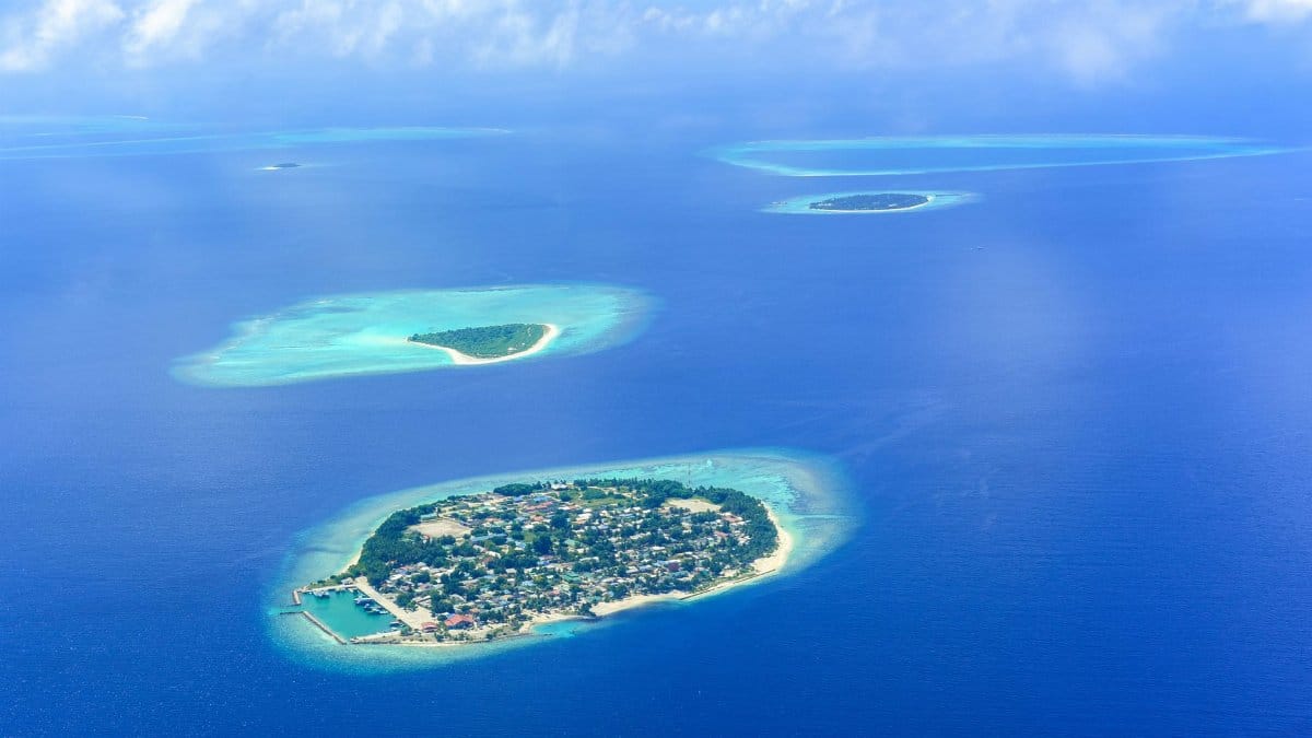
For people in the Azores, a distant depression is not an abstraction. Rain bands can arrive in pulses. Gusts can exceed the sustained wind in brief bursts. Harbors that face the open Atlantic feel a longer period swell before the center, if the center ever comes close, makes its closest approach. Local civil defense and Portuguese weather services, not a Texas newspaper, are the right voices for island decisions about schools, ferries, and exposed roads.
American coverage still has a duty to say so. A storm story that only asks whether Houston should worry can flatten every other place on the map. The Azores are inhabited. They have airports, farms, and fishing towns. A system that never threatens the Gulf can still be the weather that matters in Ponta Delgada or on a smaller island whose name never trends. Scale is not the same thing as significance.
How Gulf readers should use the bulletin

The useful habit is narrow. Read the location. Read the wind. Read the discussion of where the center is expected to go over the next few days. If those lines keep the system in the eastern Atlantic, the bulletin is information, not a call to fill a bathtub or cancel a weekend. If a later advisory shows a turn toward the tropics and a rise in wind, the reading changes. The first look does not freeze the season in place.
I have watched enough late summer maps to know that a dot in the east can still rearrange a morning, mostly by tempting people to argue about a coast it will never reach. The better use of that morning is practical. Check the local forecast for the heat, the afternoon storm, the tide. Leave the numbered depression in its own paragraph until the geometry says otherwise.
A season that produces more than one story

Every Atlantic season is a stack of separate files. One system can be a depression near the Azores while another is a wave near the Cape Verde islands, and a third is a messy low over the Bahamas. The public often collapses those files into a single mood, anxious or calm, depending on the loudest headline. Forecasters cannot work that way. Each circulation gets its own track, its own wind radii, and its own obituary when it dissipates.
That bookkeeping is easy to mock until two systems exist at once and only one of them is dangerous. The number six is a reminder that the count has already moved, and that earlier systems have already had their say. It is also a reminder that the rest of the list, both numbers and names, remains unused until the atmosphere decides. Preparedness on the Gulf Coast is a season long practice, not a reaction to every eastern swirl.
Uncertainty without theater

Forecasts improve, and they still miss. A depression can strengthen faster than the first wind forecast suggested, or it can open into a trough and vanish from the tropical discussion by the next day. Honest coverage says both things without dressing either as a scare or as a dismissal. The Azores are far from Texas. Far is not the same word as impossible for some future storm born in a different place. It is the right word for this system, on this evidence.
Readers searching Tropical Depression Six Azores will mostly find a short life on the map, or a longer one that still unfolds thousands of miles from Buffalo Bayou. Either outcome can be reported cleanly. The satellite will update. The advisory will update. The coast that is not in the cone does not need to pretend that it is.
The next line in the file
What comes next is ordinary meteorology. Another advisory. A note on whether thunderstorms remain stacked over the center. A sentence on sea surface temperatures, which run cooler as a system climbs toward the north. A mention, perhaps, of transition into a storm that is no longer tropical, driven by temperature contrasts rather than by a warm core. Those details belong to the specialists watching the eastern Atlantic hour by hour.
For a broad American audience, the lasting fact is simpler. A depression formed far from Texas, near the Azores, with winds of about 35 mph and a position hundreds of miles southwest of the islands. The next mention of Tropical Depression Six Azores may be shorter than the last, or it may describe rain on Portuguese hillsides. It should not be stretched, by habit or by fear, into a story about a Gulf landfall that the map does not support.