
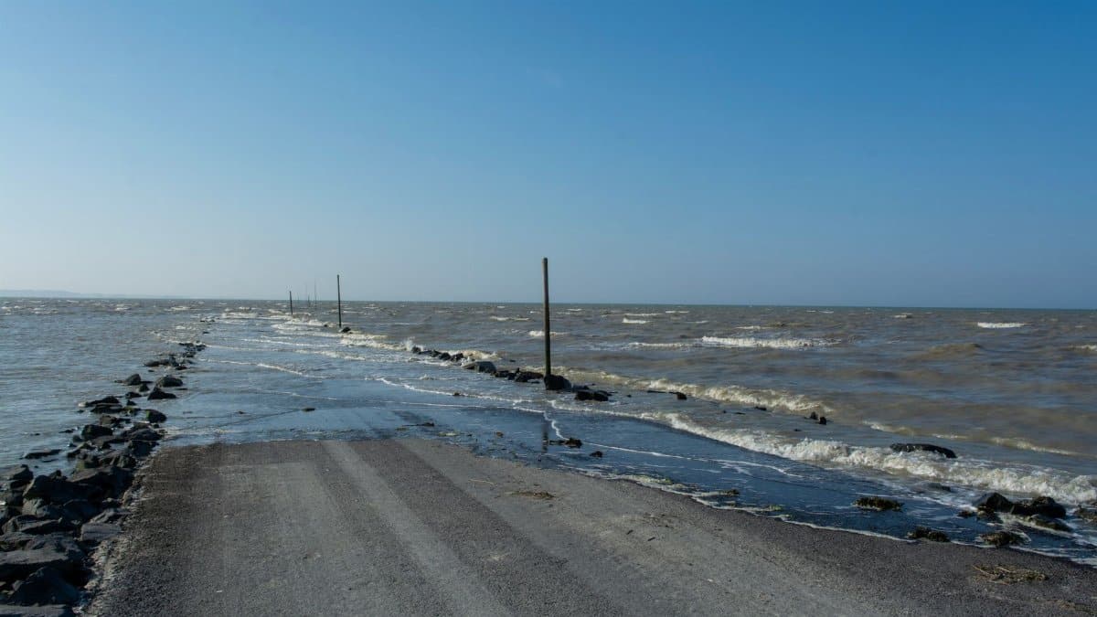
On a gray morning along the Atlantic, the surf arrived before the headlines did. Beach towns from the Carolinas northward watched the water climb the sand while a named system, already sliding seaward, still had enough reach to shove wind and tide against the shore. Storm Josephine, described by forecasters as subtropical, was no longer aimed at a direct landfall, yet its outer circulation kept coastal communities on alert for strong gusts, rough seas, and pockets of flooding where the tide had little room to spare.
A storm that stays offshore and still matters
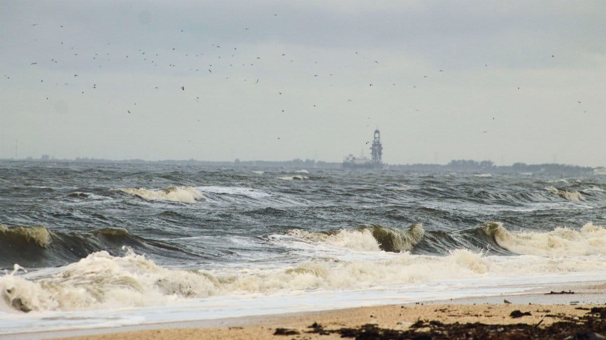
Distance is a poor comfort when the ocean is the delivery system. Josephine was tracking away from the United States, which lowered the chance of a classic hurricane strike, but the same motion left a broad field of wind over open water. That wind builds waves that travel faster than the center of the storm. By the time those waves meet a continental shelf, harbors, inlets, and barrier islands, the local forecast can look more threatening than a map of the storm track suggests.
Residents who have lived through nor’easters understand the pattern. The center can sit well east of the coast while beaches erode, docks take a beating, and streets nearest the water fill on the high tide. Josephine fit that family of events more than it fit the image of a storm making a hard turn into a major city. The practical question was not whether the eye would come ashore. It was how much water and wind the fringe would deliver before the system weakened or raced into the open Atlantic.
What subtropical means for wind and rain
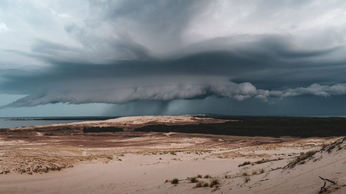
A subtropical storm borrows traits from both tropical cyclones and the larger storms of the middle latitudes. The core is often less symmetric than a classic hurricane, and the strongest winds can sit well away from the center. Rain may be ragged rather than organized into tight bands. For people on shore, those technical distinctions matter less than the forecast products that follow from them: marine warnings, coastal flood statements, and wind advisories that can cover hundreds of miles of shoreline even when the named center is departing.
Forecasters at the National Hurricane Center and local National Weather Service offices translate that structure into plain language. Gale force winds over the water can still produce dangerous conditions for small craft. Gusts on exposed headlands and bridge decks can topple signs and scatter outdoor furniture. Rain, where it falls in quantity, adds runoff to an already elevated tide. None of that requires the storm to intensify into a hurricane. It requires only a persistent wind field and a coastline that cannot absorb extra water.
High water on a crowded shoreline
The Eastern Seaboard is not an empty margin of sand. It is a chain of ports, commuter rails, beach cottages, and working waterfronts built close to mean high water. In many towns the difference between a routine tide and a flood is measured in inches. When a storm surge, even a modest one, arrives with an astronomical high tide, those inches become street flooding, closed ramps, and salt water in ground floor shops.
Josephine raised that possibility without promising a uniform disaster. Flooding of this kind is local. A south facing inlet may see more water than a harbor sheltered by a point of land a few miles away. Marshes that once absorbed surge have been filled for housing. Bulkheads that looked adequate a generation ago sit lower relative to today’s tides. The result is a patchwork: one neighborhood pumping out basements while the next reports little more than spray over the seawall.
Officials tend to stress two clocks. One is the storm’s motion, which in this case favored a gradual easing as Josephine moved away. The other is the tide table, which does not care about the name of the storm. If the peak wind driven setup coincides with high tide, the flood arrives on schedule even as the center recedes. That is why coastal alerts often outlast the most dramatic satellite images.
Winds that punish exposed places first

On land, the wind from a departing subtropical storm is rarely uniform. Tree lined neighborhoods inland may hear a steady roar and lose a few limbs. Barrier islands, ferry terminals, and high rise corners take the sharper gusts. Power lines that run along open coastal roads fail first. Construction sites and holiday rentals, with furniture left on decks, become sources of debris that then becomes a hazard in its own right.
Mariners face the clearer danger. Gale warnings mean seas that small boats should not challenge, and they mean difficult transits even for larger vessels near inlets where outgoing tide meets incoming swell. Commercial fishing crews and recreational boaters both know the rule that sounds simple and is often ignored until a Mayday: stay in port when the forecast says the ocean is no longer a place for casual travel. Josephine’s track away from shore did not cancel that advice. It extended it across a wide arc of coastal waters.
How communities prepare when landfall is unlikely

Preparation for a fringe event looks different from evacuation ahead of a major hurricane. Few people are asked to leave entire counties. Many are asked to move cars off low streets, secure loose objects, and avoid driving through water whose depth they cannot judge. Schools may delay openings if buses cannot use flooded routes. Beach towns may close dunes crossings so that spectators do not become rescue cases when a wave set arrives higher than expected.
Emergency managers describe this as a high frequency problem rather than a rare catastrophe. Coastal flooding that stops short of catastrophe still damages homes, interrupts work, and strains volunteer fire companies that spend the night on water rescues that were preventable. The message attached to Josephine followed that logic. Respect the water. Do not sightsee in the surf. Check on neighbors who rely on electric medical devices if outages spread along the immediate coast.
Local governments also watch infrastructure that the public rarely sees until it fails. Storm drains clogged with sand, tide gates that stick, and wastewater plants sited near the water all become points of failure when levels rise. A storm that is “only” offshore can still force those systems to operate at their limit for one or two tide cycles.
Travel, ferries, and the ordinary Tuesday disrupted
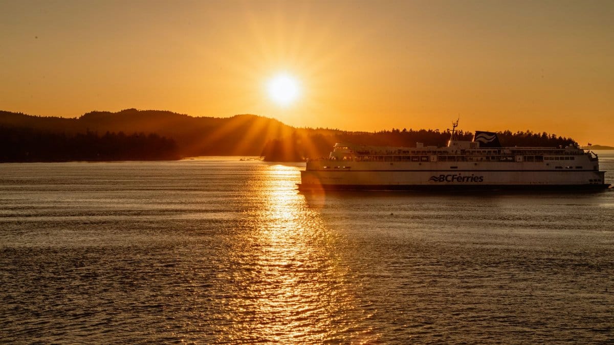
For most people the storm registers first as inconvenience. Flights into coastal airports may see delays from wind and low clouds rather than from a closure of the field. Ferries that link islands to the mainland cancel runs when seas build in the sounds. Beach roads that double as the only evacuation route in summer become the only commute route in the off season, and they flood just the same.
Rail lines that hug the water, especially in the Northeast, have a long record of salt spray and standing water on the tracks during coastal storms. Even a brief suspension ripples through a workday. Employers who learned during recent years to treat weather alerts as operational facts rather than background noise tend to shift schedules early. That adjustment is uneven. Hourly workers in tourism, ports, and food service absorb more of the lost time than people who can log in from a dry room inland.
Reading the forecasts without false precision
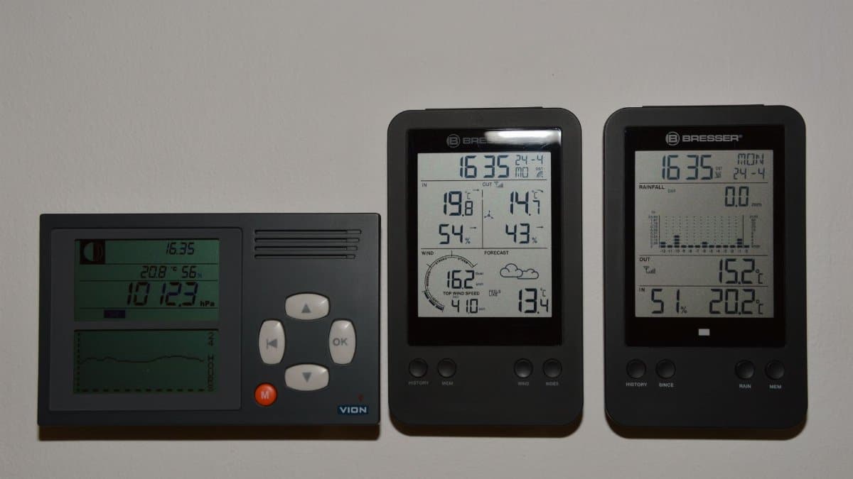
Public maps now update often enough to create a false sense that the future is settled. A subtropical storm can still reorganize, weaken faster than expected, or linger if steering currents slacken. The responsible reading of a Josephine type forecast is a range, not a single dramatic outcome. Wind probabilities, storm surge watches where they are posted, and local tide anomaly forecasts deserve more attention than a single cone drawn around a center that is already leaving.
Journalists and readers alike have learned, sometimes the hard way, that the absence of a famous city in the headline track does not mean the absence of harm. The places that flood are often the ones without a national dateline: a campground on a marsh creek, a bait shop on pilings, a row of ranch houses behind a dune that has thinned. Covering those impacts requires the same discipline as covering a landfall. Verify the warnings. Do not inflate a coastal flood advisory into a catastrophe. Do not dismiss it because the satellite loop looks less organized than last season’s hurricane.
A season that rarely offers a quiet margin

Atlantic storms arrive in a climate where sea levels along much of the East Coast are higher than they were in the middle of the last century. Higher baseline water means a weaker storm can still wet the same streets that once needed a stronger surge. Scientists at agencies such as NOAA have documented that trend in tide gauge records for years. The political argument about causes continues in Congress and in statehouses. The operational fact for a fire chief in a beach town does not wait on that argument. The water is higher on ordinary tides, so the margin for error during named storms is thinner.
That context does not turn every subtropical system into a symbol. Josephine was a specific forecast problem with a specific track: possible gale force winds, rough surf, and coastal flooding while the center moved away from the country. Placing it in a longer record simply explains why officials sound repetitive. They are repetitive because the geography is repetitive. The same inlets flood. The same residents park in the same low lots. The same argument flares on social media about whether the warning was overdone, usually before the high tide has even peaked.
After the peak tide
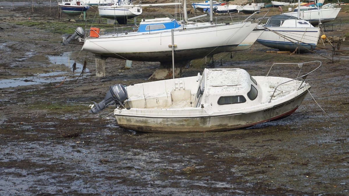
When a storm like this recedes, the cleanup is modest compared with a major hurricane and still expensive in the aggregate. Sand pushed into streets must be moved before the next rain. Salt kills grass and corrodes vehicles that drove through floodwater. Beach nourishment projects, already costly, lose a little more sand to a week of elevated surf. Insurers sort wind claims from flood claims, a distinction that matters enormously to homeowners and that many discover only after the water has left a mark on the drywall.
There is also a quieter audit. Did the warning reach people who do not speak English as a first language. Did overnight floodgates close. Did anyone drive around a barricade and need a rescue. Those reviews rarely make national news when the storm never came ashore, yet they shape the response to the next name on the list. Coastal counties treat each near miss as training, because the next system may not be as polite about staying east.
What to watch as Josephine departs

As Josephine continues away from the Eastern Seaboard, the sensible watch list is short. Follow local National Weather Service updates rather than a single national map. Respect marine warnings until they expire, not until the sky looks clearer from a hotel balcony. Avoid flooded roads. Expect lingering rough surf and rip currents after the wind on land has eased, because waves outlast the gusts that created them.
The storm will leave the forecast discussion and enter the seasonal log as one more system that brushed the coast without rewriting it. For the people who spent a night moving cars and checking sump pumps, that is not a small story. It is the ordinary story of an ocean edge that floods more easily than the maps in many attics still admit. High winds and possible coastal flooding were the whole point of the alert. They did not need a landfall to be real.