
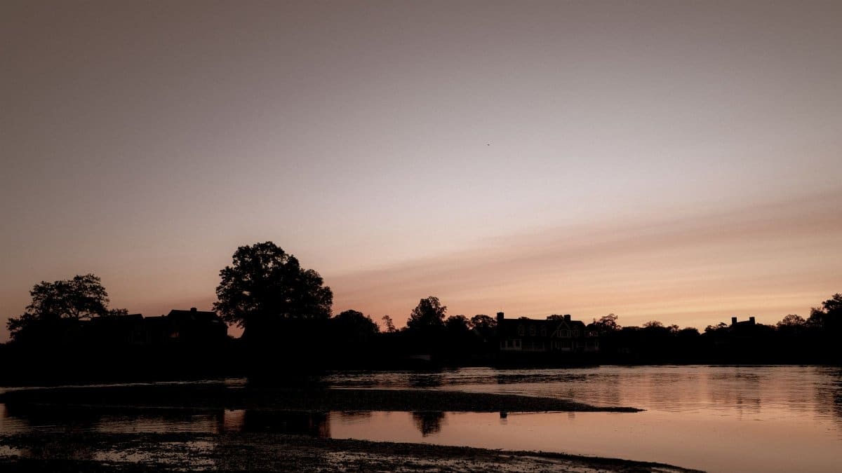
On a Tuesday that still felt like August, commuters along the Charles walked with jackets folded over their arms while the river threw back a hard white light. Forecasters have a name for this late reprieve, and it is circulating again from Providence to Portland. A New England second summer is not a date printed on any calendar. It is a stretch of mild days that can arrive after the first cool nights, when daylight is already shrinking and the garden has begun to look tired. This year the question is practical as much as poetic: how long the mild spell can last, and who actually gets it.
What people mean when they say it

Ask a gardener in western Massachusetts and a harbormaster on the Maine coast and you will hear two versions of the same hope. One wants tomatoes to finish ripening. The other wants a few more weekends when the water is swimmable and the wind stays light. Meteorologists tend to be plainer. They talk about a warm anomaly, a ridge of high pressure, or a delayed arrival of the first hard freeze. Residents talk about leaving the storm windows in the cellar for another week.
The phrase has no official definition at the National Weather Service. That looseness is part of its charm and part of its trouble. A few afternoons in the seventies can feel like a gift after a raw weekend, even if the overnight low has already slipped into the forties. A true run of summerlike warmth, the kind that sends people back to the beach in October, is rarer and more uneven. It favors some valleys and spares some shorelines. It can vanish behind a single front.
What holds the idea together is memory. New Englanders remember particular years when wool stayed in the closet and the foliage arrived under a blue sky instead of a gray one. Those memories are selective. They also explain why a forecast of lingering mildness travels so fast through group chats and diner conversations.
Why the coast and the interior do not share one autumn

The region is small on a national map and stubbornly local on the ground. Ocean water that spent the summer storing heat can keep coastal nights milder deep into fall. That same water can also feed clouds and a damp wind that makes sixty degrees feel cooler than the number suggests. Inland, away from that marine blanket, clear nights lose heat quickly. A valley floor in Vermont or New Hampshire can frost while Boston is still comfortable in a light sweater.
Elevation adds another split. Hill towns see the first color and the first hard cold earlier than the coastal plain. A warm spell that thrills a city park can be only a pause between frosts a few hundred feet higher. Long range outlooks often smooth those differences into a single shade on a map. Lived weather does not.
That is why a headline about regional mildness should be read as a tendency, not a promise for every backyard. The hottest odds in many autumn outlooks sit farther inland, across the middle of the country, while New England sits nearer the edge of the signal. Edge places get more surprises.
What El Niño can tilt and what it cannot guarantee

When the tropical Pacific runs warmer than average, the jet stream over North America often shifts. Those shifts can favor milder conditions in parts of the northern United States during the cooler half of the year. Climate.gov, the public education site tied to federal climate science, lays out the basic mechanics of El Niño and La Niña without pretending that a Pacific pattern writes a local forecast by itself. The overview is here: El Niño and La Niña frequently asked questions.
For New England, a Pacific signal is one influence among several. The North Atlantic, the track of individual storms, and the timing of high pressure over the eastern seaboard can override a seasonal lean for days or weeks. A milder autumn, in the language of outlooks, means the odds tilt away from sustained cold. It does not mean every week stays gentle, and it does not cancel an early freeze in a sheltered hollow.
Readers should also separate a warm month from a warm spell. Seasonal outlooks from the Climate Prediction Center describe probabilities over weeks, not the character of a single weekend. The center publishes those maps here: Climate Prediction Center. A brown or orange shade on a three month chart can coexist with a raw, windy fortnight. People planning a wedding on a town common, or a last camping trip, still need the short range forecast.
How to read a map without overreading it

Probabilities are easy to mistranslate. If a map says the chance of above average temperatures is higher than usual, that is not the same as a prediction of heat. Average in late September and October is already falling. Above that average can still feel like sweater weather, especially after sunset.
It also helps to notice what the map is not saying. Many products compare the coming season with a thirty year baseline, not with last year and not with a childhood memory of October. A year that felt endless and gold can make a merely mild sequel seem disappointing. A year that turned raw in mid September can make an ordinary October feel lavish.
Local forecast offices translate those national odds into plainer language, and they are candid about confidence. When confidence is low, the honest sentence is short: the pattern leans mild, the details are unsettled, and coastal fog or an inland frost can still write its own week. That humility is more useful than a slogan.
Gardens, foliage, and the chores people postpone

A lingering mild stretch rearranges ordinary work. Tomato vines that looked finished can put on a last flush if nights stay above freezing. Basil collapses at the first cold kiss, while kale and carrots often improve. Gardeners who trust the phrase New England second summer sometimes wait an extra weekend to pull annuals, then lose them to a surprise frost that the regional map never promised to prevent.
Foliage is its own negotiation with temperature and moisture. Warm days and cool nights help color develop. A soggy, gray spell can mute it. Drought stress earlier in the season can trigger early drop. A gentle October does not automatically mean a spectacular one, and a spectacular one does not require beach weather. The prettiest weeks are often the ones when people still need a coat at dawn and can shed it by noon.
Hardware stores notice the pause. Storm window sales slow. Mulch moves later. Then a single forecast of a hard freeze clears the aisles. The economy of autumn in this region is still tied to that threshold, even when the afternoons feel borrowed from July.
Schools, fields, and the last uncomplicated weekends

Public life bends around the same uncertainty. Youth soccer schedules another Saturday outdoors. Colleges keep quads full at lunch. Restaurants on the coast leave tables on the sidewalk and then haul them in when a marine layer settles at four in the afternoon. None of this requires a record. It requires a run of days when being outside is the easy choice.
There is a civic pleasure in that ease, and also a scheduling risk. Tournaments, town fairs, and charity walks built on a hope of mild weather have fewer indoor backups than winter events. Organizers who have lived here long enough plan for a fifteen degree swing between the coast and the hills, and for wind that the temperature alone does not describe. A mild number with a northwest gust is a different day from a mild number under a still sky.
Parents doing the coat negotiation know this better than any outlook. One child leaves the house overdressed and returns with the fleece tied around a waist. Another, up in the hills for a game, needs the layer the city kid mocked. Regional weather is a family argument with a physical basis.
Memory is a strong forecast, and a biased one

People anchor on years. They remember the October when they ate lunch outside every day, and they forget the Tuesday of cold rain in the middle of it. That bias makes every new outlook feel like a sequel. It also makes disappointment louder than confirmation. If the mild lean verifies as a few pleasant weeks interrupted by storms, many will say the second summer failed. If one holiday weekend lands in the seventies, the same season will be remembered as generous.
Journalists share the bias. A warm afternoon photographs better than a normal one. The task is to keep the photograph and the probability chart in the same story. Milder than the long term average can be true and still feel ordinary. Hotter than the neighbors inland can be false and still feel like a gift on a south facing street in Portsmouth or New Haven.
History does supply real analogues, and they cut both ways. Some autumns stayed open and bright. Others snapped shut after Labor Day and never reopened. A Pacific pattern can weight the dice. It does not repeal the cold fronts that still cross the Great Lakes and drop into New England with little ceremony.
Faith, ritual, and the wish for one more week
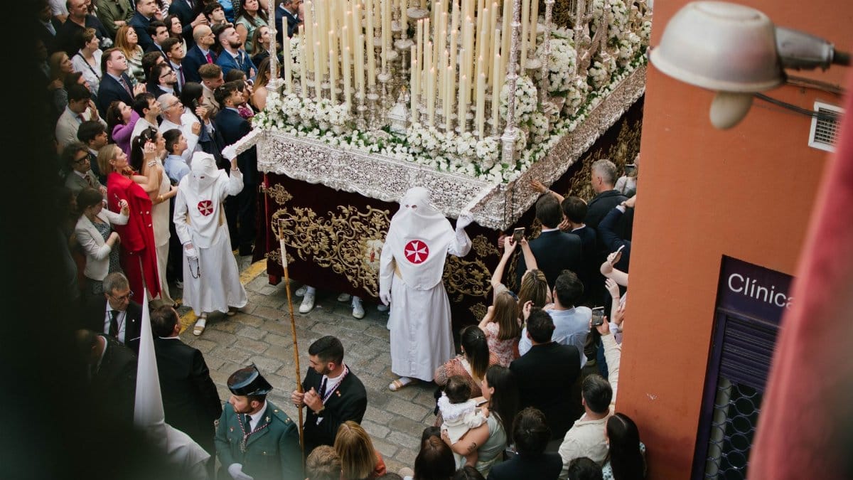
Weather writing usually stops at the forecast. In this region the wish runs deeper, which is why a warm spell acquires a name that sounds almost liturgical. Congregations plan outdoor blessings. Families delay the swap of summer clothes. People who do not think of themselves as observant still treat the last mild Sunday as something to be kept, not merely used. The light is lower. The air can be soft. The knowledge that it will not last is part of the pleasure.
That ritual impulse is not a substitute for a forecast, and it should not be sold as one. It does explain the hunger behind the searches and the headlines. Residents are not only asking whether the number will be above average. They are asking whether they will be given a little more time outside before the dark months settle in. A New England second summer, when it comes, answers that question for a while. When it comes unevenly, it answers it for some towns and not for others.
There is no harm in hoping, provided the hope stays sized to the evidence. A tilt toward milder conditions is not a season of endless shirtsleeves. It is a reason to keep the lighter coat near the door and the heavier one within reach.
What a careful reader can take from the outlook

The fairest summary is modest. Long range maps this season have tended to park the strongest warmth away from the Northeast, while El Niño still offers a background lean toward a milder autumn in the northern tier. New England sits where those ideas meet local geography. Coastal nights may stay softer. Inland frost can still arrive on schedule. A pleasant week can be followed by a raw one without either week disproving the seasonal odds.
For planning, the short range remains the working tool. For context, the seasonal map is a tilt, not a script. Gardeners should watch overnight lows, not afternoon vibes. Travelers should pack layers. Anyone waiting on foliage should remember that color and comfort are related but not identical.
And for the name itself, use it lightly. Say New England second summer when a real stretch of mild days returns after the first cool nights, not as a guarantee that September owes the region a reprint of August. The phrase earns its keep when it describes what happened, or what the next few days credibly allow. It becomes marketing when it outruns the map.
The light on the river will keep changing either way. Some afternoons will invite a walk without a plan. Some mornings will make the case for the coat that was put away too soon. Between those mornings, if the pattern holds even partly, there is room for the small reprieve people here know how to recognize, and how to stop trusting the moment it ends.