
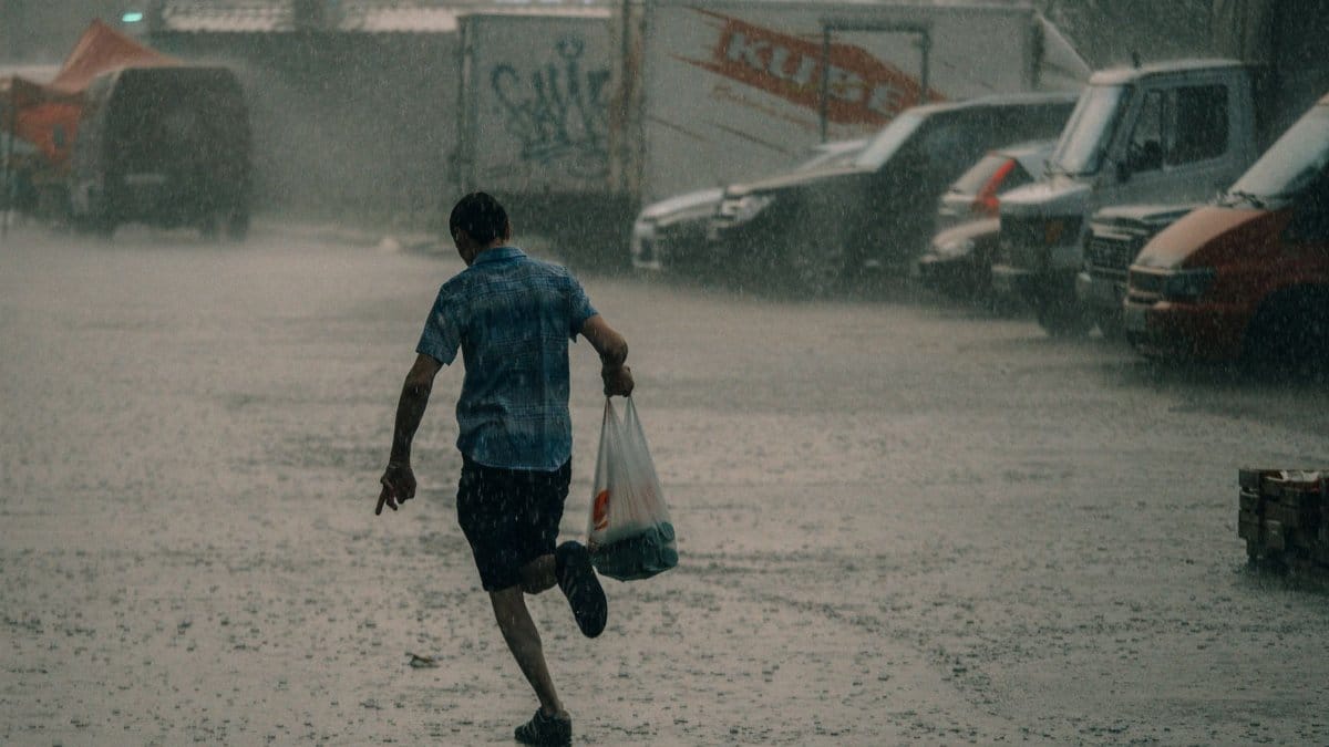
By late afternoon the canals already sat higher than the lawns beside them, and neighbors watched sheets of water slide across the pavement as if the street had briefly become a river. South Florida rain has a habit of turning an ordinary errand into a calculation about depth, drains, and whether the car will start again. Forecasters watching El Niño say another soaking stretch is possible this week, with widespread totals of 2 to 3 inches and isolated pockets of 5 to 10 inches if storms keep rebuilding over the same blocks. For anyone who still knows the stain on the garage door from the last flood, those figures are not a curiosity. They are a timetable.
A sky that keeps reloading
Heavy rain in this part of the peninsula rarely arrives as one polite shower and then leaves. Moisture piles up over warm water, afternoon heating lifts it, and a slow steering flow lets cells form, fade, and form again. Meteorologists sometimes call the result training, a word borrowed from rail lines, because storm after storm follows nearly the same track. On radar it can look almost courteous. On the ground it is not. A neighborhood that was merely wet at noon can be impassable by dusk, while a few miles away the sun is trying to come back.
That unevenness is the detail residents learn to respect. Countywide averages hide the alley that takes the hit. A forecast of a couple of inches can still mean a parking lot under a foot of water if the heaviest core stalls. People who have lived here through several wet seasons stop asking whether it will rain and start asking where the rain will sit.
What El Niño tends to arrange

El Niño is a warming of the equatorial Pacific, not a switch that guarantees a flood in any one city. Its influence travels through the jet stream and through patterns of rising and sinking air that can favor more storminess over the Southeast in the cooler months, and a juicier atmosphere at other times of year as well. The Climate Prediction Center at climate.gov tracks those ocean temperatures because they shift odds, not destinies. A wet week in Florida can happen without El Niño. A dry week can happen with it. What changes is the background humidity, the chance of a stalled front, and the likelihood that tropical moisture has an easier path north.
This week the setup described by regional forecasts is familiar: deep moisture, weak winds aloft in places, and repeated rounds rather than a single frontal sweep. That is why the headline numbers span such a wide range. Two or three inches is a soaking. Five to ten inches in a narrow corridor is a different civic problem, one that drainage systems built for yesterday’s climate feel immediately.
How the inches add up
An inch of rain on an acre is more than twenty seven thousand gallons. Spread that across a subdivision, a mall, and the roads that connect them, and the volume stops being a weather graphic and becomes a traffic and insurance story. Two to three inches over a broad area will test older swales and clogged inlets. Isolated totals several times higher will test anything that depends on gravity and a clear path to a canal.
South Florida rain does not need a named tropical storm to do this work. A cluster of thunderstorms with high rainfall rates can dump several inches in an hour. When the ground is already saturated, almost all of the next burst runs off. Lawns that looked like sponges on Monday behave like tile by Wednesday. That is the sequence emergency managers watch, because the second and third waves, not the first sprinkle, are what push water into houses.
Streets that remember the last line

Memory is a practical instrument here. Residents in low blocks of Miami Dade, Broward, and Palm Beach Counties can point to the exact curb where water last crossed the sidewalk. They know which underpass fails first and which grocery lot becomes a pond. Those memories are not nostalgia. They are a private map that official flood zones only partly capture. A street can sit outside a mapped high risk area and still take water when a canal is wind blown or a pump is offline.
After repeated soakings, the conversation on porches shifts from surprise to maintenance. Who cleared the drain at the corner. Whether the city answered the last complaint. Whether the new development uphill changed where the water wants to go. Rain exposes grading the way a bright light exposes a crack. It does not create the slope. It reveals it.
Why the downpour feels sudden
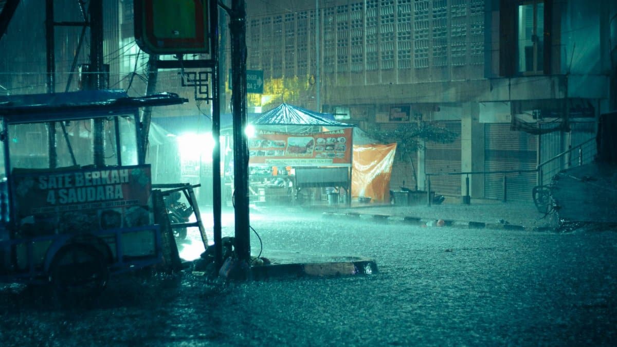
Part of the shock is sensory. Tropical air can hold a great deal of water vapor, and when that vapor condenses the release is fast. Visibility drops. Wipers cannot keep up. Drivers who were moving at highway speed five minutes earlier are suddenly guessing at lane lines. The National Weather Service, through local offices linked from weather.gov, issues flood advisories and warnings when gauges and radar suggest water is rising faster than drains can take it. Those alerts are easy to mute. They are harder to ignore once the water is at the door sill.
Another part of the shock is temporal. A week can open with sun and end with a rainfall total that belongs in a monthly climate summary. People plan outdoor work, school pickups, and flights on the assumption that the afternoon storm will be brief. El Niño years, and any year with a stuck moisture plume, punish that assumption. The storm is not always brief. Sometimes it is a sequence wearing the costume of a single cloud.
What a careful week looks like

Preparation for this kind of rain is unglamorous and local. Move the car to higher ground before the band arrives, not after the street has already filled. Clear leaves from the inlet on your block if it is safe to do so. Know which rooms sit lowest and what you would lift first. Keep a full tank if you may need to leave, and do not drive through water whose depth you cannot see. A few inches can stall an engine. Deeper water can move a vehicle. Those are old lessons, repeated because each wet season brings new residents who have not yet learned the canals.
Businesses along commercial strips face a similar list. Sandbags help at a doorway. They do not fix a roof drain pointed at the entrance. Restaurants that store dry goods on the floor learn, usually once, to use shelves. The cost of a lost afternoon is smaller than the cost of a lost walk in cooler and a week of closed service. None of this is dramatic. It is the ordinary administration of a place where water is both the attraction and the threat.
Congregations, calendars, and a forced pause
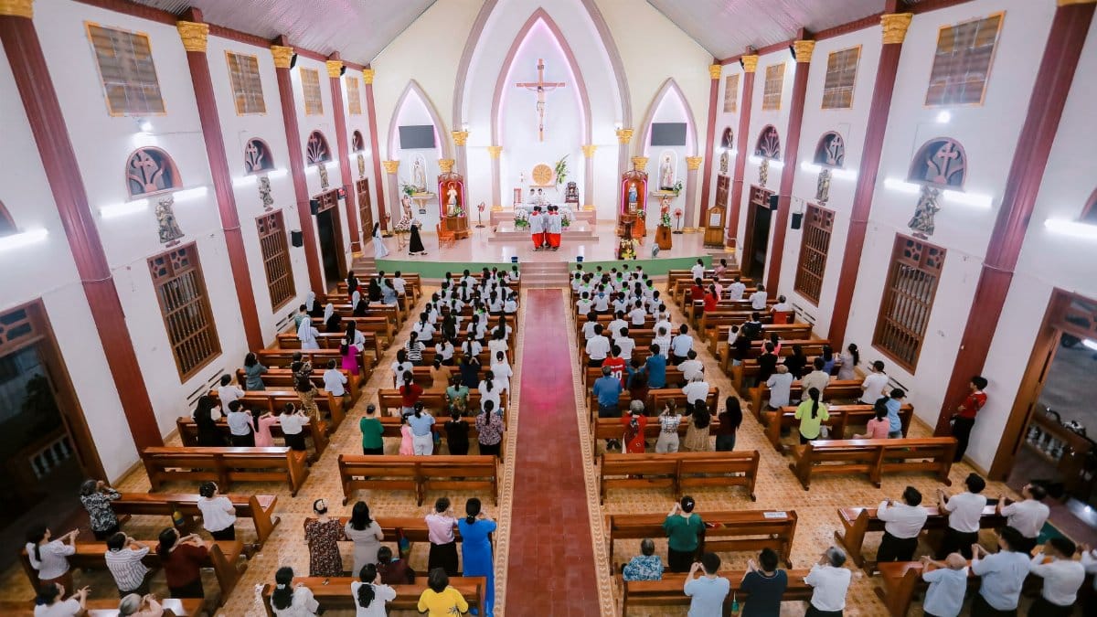
Weather this heavy also rearranges the week in quieter rooms. Evening services move or shrink when parking lots flood. Outdoor festivals, cemetery visits, and neighborhood processions wait on a radar loop. In a region where many people organize life around congregations, mosques, temples, and family altars, a stalled storm is not only a municipal issue. It is a pastoral one. Clergy and lay leaders spend the afternoon deciding whether to tell elders to stay home. That decision is an act of care dressed up as logistics.
Some communities treat the interruption as a prompt rather than only a cancellation. Phone trees that exist for hurricanes get a smaller workout. Neighbors check on anyone who cannot easily leave a first floor apartment. A shared meal moves indoors. The rain does not confer meaning by itself. People supply the meaning when they decide that a soaked week is a reason to look after one another instead of merely complaining about the commute. In a news climate crowded with spectacle, that smaller response is worth noticing.
The longer pattern under a single forecast

One wet week does not prove a climate trend, and honest journalism should not pretend that it does. What scientists do say, in assessments hosted by agencies such as noaa.gov, is that a warmer atmosphere can hold more moisture, so the heaviest rain events have a physical reason to intensify in many places. Sea level along this coast is also higher than it was a generation ago, which means the same canal rain has less room to drain when the tide is up. Those two facts sit underneath the forecast even when the forecast itself is about the next few days.
El Niño is a swing in the natural climate system, measured in ocean temperatures and expected to evolve. The background warming is slower and stickier. Residents do not experience them as separate chapters. They experience a street that floods more often than it used to, a insurance letter that costs more than it used to, and a forecast that now routinely includes the possibility of extreme local totals. Sorting the causes is work for researchers. Living with the result is work for everyone else.
Listening for the update, not the rumor

The useful habit in a week like this is narrow and repeatable. Check a local forecast in the morning and again before the drive home. Watch whether advisories mention training storms or rapid rises on canals. Believe the high end of the range if you live in a spot that has flooded before, because averages are written for counties and water collects in bowls. Ignore screenshots that circulate without a time stamp. A rainfall map from last season is not a map of tonight.
South Florida rain will keep writing itself into garages, school calendars, and Sunday plans for as long as warm water and humid air meet a flat landscape. El Niño may load the dice for this particular drenching, with 2 to 3 inches as the broad expectation and 5 to 10 inches as the isolated threat. The response that holds up is the same one that held up last time: move what you can, stay out of the brown water, and treat the next band as real until the sky proves otherwise. The clouds do not negotiate. The people under them still can, with each other and with the hours they have before the street shines again.