

Thursday evening across southern Minnesota carried that particular quiet that shows up before a long rain. Yards looked unchanged. The radar did not. Families were still clearing dinner plates when forecasters began describing a Friday system able to spread a broad soaking from the Iowa line toward the Twin Cities, with heavier pockets where storms linger over the same towns. In group texts, school notes, and farm chats, Minnesota Friday rain stopped sounding like small talk and started sounding like a schedule. One to two inches is not, by itself, a historic total. On ground that is already damp, it is enough to slow roads, test basements, and rearrange a weekend.
What the forecast is actually promising

The useful version of this forecast is plainer than the drama that sometimes attaches to spring weather. A published discussion in the Star Tribune framed Friday as a serious soaking, with heavy rain that could leave one to two inches across southern Minnesota. That range matters more than any single town total. An inch over many hours is a different event from an inch in a furious burst. The first soaks lawns and fills ditches. The second overwhelms storm drains and turns low intersections into shallow lakes.
Readers who want the original framing can find it in that Thursday forecast story, which is worth reading beside the latest local update rather than instead of it: Prepare for a serious soaking Friday. Forecast language ages quickly. What holds is the shape of the risk. A wide area gets wet. A smaller area may get too wet, too fast.
Southern Minnesota sits in the wetter path

Southern Minnesota is the phrase doing the most work. It points to communities that already know how a Gulf fed system can ride up the Mississippi valley and stall just long enough to matter. Mankato, Rochester, Winona, and the smaller towns between them do not experience the same Friday in lockstep. One county can spend the day under a steady gray curtain. The next can see breaks of pale light, then a line of storms that makes up the difference in an hour.
That unevenness is why a regional headline can feel both true and incomplete. Minnesota Friday rain, as described for this setup, is a southern story first. Northern lakes may only catch the fringe. People planning a drive from the metro to a cabin should not assume the sky they leave will match the sky they reach. The smarter habit is to check the corridor, not just the destination.
Storms are the wild card inside the rain

Rain alone is a logistics problem. Storms add a safety problem. Embedded thunderstorms can bring lightning, brief downpours, and gusty wind even when the day as a whole looks like a soak rather than an outbreak. The danger is ordinary and therefore easy to underestimate. A youth soccer field empties late. A roofing crew tries to finish one more course of shingles. A golfer decides the thunder is still far enough away.
Lightning does not negotiate with optimism. If thunder is audible, the open field is the wrong place to be. For a broad Friday system, the practical question is timing. Morning hours may be manageable for errands. Afternoon and evening may not be. Schools, parks departments, and church leagues tend to learn this the expensive way, which is why many of them now write rain plans before the first drop falls.
Fields, rivers, and ground that remembers
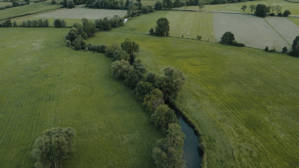
Farmers read a forecast with a different clock than commuters. An inch of rain in late spring can be a gift if it arrives gently on soil that can take it. The same inch is a setback if it falls on fields already near saturation, delaying planting, smearing seed beds, or standing in low corners until the crop yellows. Southern Minnesota has had enough wet springs in recent memory that one to two inches is never only a number on a map. It is a question about tile lines, ditch capacity, and whether the last storm has left the ground.
Rivers tell a slower story. Friday rain rarely becomes a flood crest on Friday. It becomes a rise over the following days, especially where smaller tributaries collect runoff from towns and bare fields. People who live near creeks already know the spots: the bend that jumps its bank, the culvert that clogs with corn stalks, the gravel road that looks fine until a tire drops into a hidden washout. Watching those places is not alarmism. It is local knowledge.
Cities prepare in unglamorous ways
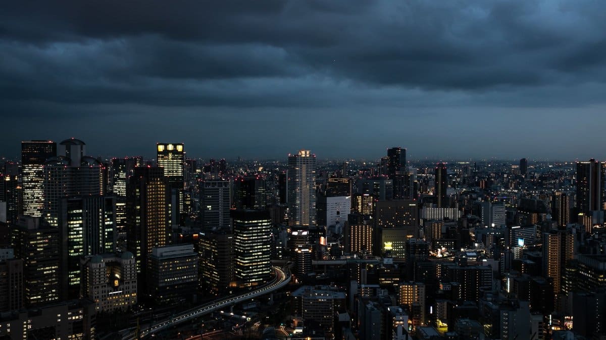
Municipal preparation for a soaking rarely looks like a movie. It looks like public works crews clearing storm drains before the rain, not after. It looks like sandbags stacked where a basement stairwell has flooded twice in five years. It looks like a facilities manager walking a school roof at dusk, searching for the seam that leaked in April.
Homeowners have a shorter list, and it is worth doing before the radar turns red. Move the bins that block a downspout. Check the sump pump if the house has one. Bring in anything that can become a projectile in a gust. A soaked Friday is not the moment to discover that the gutter is packed with maple seeds. These are small acts. They are also the difference between an inconvenience and a claim.
Transit agencies and highway departments face the public version of the same problem. Ponding in the left lane, spray that erases brake lights, and drivers who treat standing water as a dare. The counsel is old because it remains correct. Slow down. Do not cross a flooded road. The depth is rarely what it appears to be from the driver seat.
Weekend plans get rewritten in pencil

A forecast like this reaches into ordinary life faster than it reaches into disaster planning. Graduations move photographs indoors. Farmers market vendors calculate whether tents will hold. Restaurant patios that had finally filled with warm weather go quiet again. In a state where summer is short, a lost Friday evening can feel larger than the rainfall total justifies. That feeling is not frivolous. It is how people measure a season.
I have sat through enough Minnesota weekends to know the bargaining that starts on Thursday night. Maybe the heavy band slides south. Maybe it arrives after the game. Maybe the radar is wrong in the way we privately hope. Sometimes it is. Often it is not. The grown conclusion is to plan the indoor version first and treat blue sky as a bonus, not a contract.
Rain and the habits we call spiritual

This forecast will also brush against gatherings that are not merely social. Congregations with Friday fish fries, outdoor vigils, and Saturday morning service projects will move tables, rewrite announcements, and decide whether a soaking is a reason to cancel or a reason to persist. In a season when many people are already asking what community is for, weather becomes a small test of that question. Who texts the older members. Who owns a dry hall. Who treats a changed plan as failure rather than care.
There is a temptation, especially in coverage filed under spiritual trends, to turn rain into a metaphor and stop there. Rain is also physics. It falls on the just and the unjust, as the old line says, and it falls on sump pumps without regard to either. Still, a broad wet Friday does invite a quieter attention. People notice the sound on the roof. They notice who is stranded without a ride. They notice that control over a weekend was always thinner than the calendar suggested. That is not a sermon. It is a observation available to anyone willing to look up from the hourly graph.
How to read the updates without spiraling

The healthiest way to follow Minnesota Friday rain is to pick two sources and stop refreshing the rest. A National Weather Service forecast office and a trusted local newsroom will carry the updates that matter: timing shifts, storm warnings, and any flood advisory that replaces a general soaking with a specific threat. Social media will carry the rest, including photos of one flooded intersection presented as the fate of the entire state.
Totals will vary. Someone in a southern town may measure close to two inches. Someone twenty miles away may swear the storm was oversold. Both can be right. Weather is local in a way that headlines cannot fully honor. The responsible reading is range, timing, and impact, not a single bullseye.
What Friday morning should settle

By Friday morning the argument moves from possibility to sequence. Is the rain already ongoing, or is the main band still to the southwest. Are storms embedded, or is the day a steady rinse. Do school activities and evening gatherings still make sense. Those answers will not be identical from Worthington to the eastern bluffs, which is exactly why a regional soaking demands local judgment.
Minnesota Friday rain, in the form forecasters have sketched, is a manageable event for most people and a costly one for a few. The difference often comes down to an hour of preparation and a willingness to change a plan. Fill the car. Clear the drain. Leave the low road alone. Let the weekend be revised. The sky, for once, has filed its intentions early enough to heed.