
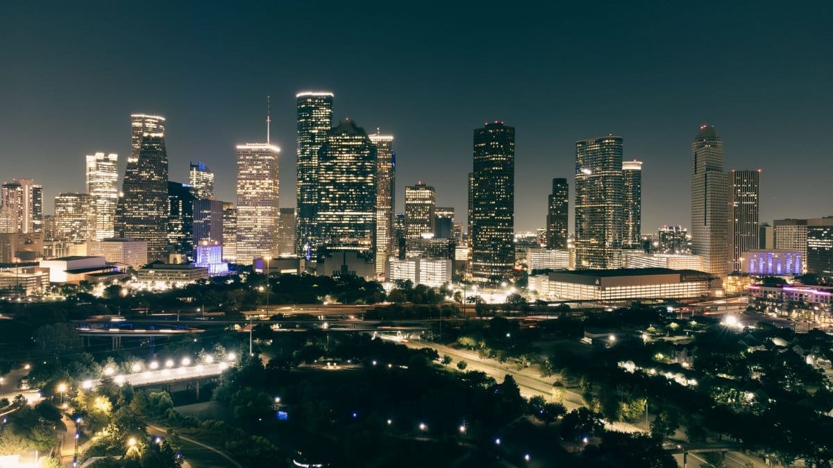
Before the coffee finished brewing, a neighbor on a quiet street near Memorial Park stepped outside in a light jacket and paused, surprised by air that did not cling. The porch thermometer had slipped lower than it had in months, and the usual Gulf haze looked thinner. Group chats filled with the same question people ask every time autumn finally acts like autumn: is this the Houston cool weekend everyone has been waiting for, or just a brief tease before the warmth returns?
A forecast that sounds almost unlikely

Meteorologist Justin Ballard has told readers that some Southeast Texas neighborhoods could see morning temperatures in the 40s this weekend, the first such readings since May. That claim, reported by the Houston Chronicle, is the sort of detail that stops a scroll. Houston does not treat the 40s as routine in late fall the way cities farther north do. A low in the upper 40s can feel like an event, especially after a long stretch of muggy nights.
The National Weather Service forecast office in Houston and Galveston has been tracking a push of drier air behind a cold front. Public discussion pages and zone forecasts on weather.gov describe cooler mornings and more comfortable afternoons, with the sharpest drop expected before sunrise. Exact numbers will vary by a few degrees from bayou to prairie, but the pattern is clear enough that people are already rearranging Saturday plans.
Why the 40s still count as news here

Houston sits close to a warm sea. Nights often stay soft because moisture holds heat near the ground. When that moisture thins and a northerly breeze keeps stirring the air, temperatures can fall faster than residents expect. The psychological effect is larger than the thermometer suggests. A reading of 48 degrees downtown can feel brisk to someone who spent the previous week in shorts. In Conroe or west of Katy, where the city fades into open land, the same air mass can settle a little lower still.
That gap between official climate normals and lived sensation is why a cool spell becomes conversation. People remember the last time they needed a real coat for a morning school run. They remember May, when spring heat arrived early and the idea of another 40 degree morning seemed distant. Memory, not just data, makes the forecast feel sharp.
How the air arrives and why it lingers overnight

A front is less a wall than a change in the character of the wind. Behind it, air that formed over the continent rather than the Gulf tends to be drier. Dry air cools more readily after sunset because there is less water vapor to slow the loss of heat. Clear skies help. If clouds stay thin, the ground radiates warmth upward and temperatures keep sliding until just before dawn.
Wind speed matters too. A steady breeze can mix warmer air down from above and keep the coldest pockets from forming. A lighter wind lets cold air pool in low spots, creek bottoms, and rural fields. That is one reason two neighborhoods ten miles apart can wake to different numbers. Urban pavement holds heat. Open pasture does not. The forecast language about some neighborhoods in the 40s is a careful way of saying the metro is not one temperature.
Reading the map from the bay to the pines

Along the coast, Galveston and the communities nearest the water often stay milder. The Gulf acts as a thermostat. Farther inland, toward The Woodlands, Tomball, and the northern suburbs, radiational cooling has more room to work. Southwest suburbs can split the difference, depending on cloud cover and how quickly the wind eases after midnight.
Anyone planning an early start should check a point forecast rather than a single city number. The Houston/Galveston office publishes those details, and local television meteorologists update them as new model runs arrive. A Saturday soccer game at 8 a.m. is a different problem from a noon tailgate. The coldest hour is usually the last one before the sun gains height.
What a Houston cool weekend feels like hour by hour
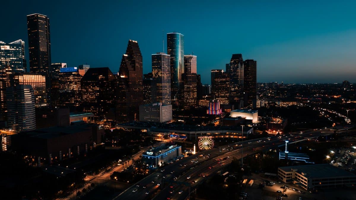
Picture Friday night first. The front has already passed or is finishing its work. Humidity drops. People notice it on their skin before they notice it on an app. Saturday begins cold by local standards, then climbs into a pleasant afternoon if sunshine holds. Jackets come off by late morning. They go back on after dinner if the sky stays clear.
Sunday often repeats the pattern with a slight modification. The second morning can be as cold as the first, or a degree or two milder, depending on whether clouds return. Afternoons remain the gift: air you can walk in without calculating sweat. For a city that spends so much of the year negotiating heat, that middle of the day is the part people will remember, even if the headline is about dawn.
This Houston cool weekend is not a winter outbreak. Pipes are not at risk. Schools will not close. The story is comfort, contrast, and the small rituals that appear when the air finally gives people permission to linger outside.
Windows, sweaters, and the quiet economics of a mild night
When nights fall into the 40s and 50s, air conditioners get a rest. That is not a minor footnote in a city where cooling dominates household energy use for much of the year. Opening windows for a night or two will not rewrite a utility bill, but it changes the feel of a house. Ceiling fans slow. Blankets come out of closets that have been ignored since spring.
Retailers notice these weekends too, though the effect is subtle. Light outerwear moves. Coffee shops near parks see longer lines because people are willing to wait outside. None of that requires a freeze. It requires only a break from the heavy air that usually defines the season.
Plans that suddenly make sense

Runners shift workouts earlier without dread. Parents agree to the farmer market they skipped in September. Cyclists take the longer loop. Church picnics and neighborhood cleanups, which can feel punishing in humidity, become reasonable again. The spiritual calendar of a city is not only formal worship. It is also the repeated choice to gather when the weather stops arguing against it.
Caution still belongs in the plan. Mornings in the 40s surprise people who dress for the afternoon high. Children waiting for buses feel the chill more than adults who just stepped out of a warm car. Pets with short coats appreciate a minute of consideration. None of this is emergency guidance. It is ordinary sense applied to an uncommon morning.
What forecasters are unwilling to promise

Ballard and his colleagues deal in probabilities, not guarantees. A shift in cloud cover of a few hours can lift the morning low out of the 40s and into the low 50s. A reinforcing shot of cool air can do the opposite. Model spreads a day or two out are normal. The honest forecast says the door is open for the coldest morning since spring, not that every block will hit the same mark.
Readers who want the primary source should look at the Chronicle forecast story and at the National Weather Service Houston page. Both will update faster than any feature written in advance. Weather writing ages in hours. The value is in understanding the setup, not in treating a single number as scripture.
Where this weekend sits in a longer season

Houston autumn is a negotiation. Fronts arrive, stall, and sometimes wash out before they deliver the advertised chill. A weekend that actually produces 40s would mark a clearer turn than the half measures of recent weeks. Climate normals still point toward gradually cooler weeks ahead, with genuine winter cold remaining occasional rather than constant.
That occasional quality is part of the local character. People here do not get months of reliable sweater weather. They get interludes. Those interludes carry extra weight because they are brief. A Houston cool weekend becomes a marker on the calendar, the way a first truly hot day in May becomes a marker of another kind.
After the chill, the usual questions return

By early next week the wind may turn, moisture may rebuild, and afternoon temperatures may climb back toward something more familiar. That rebound does not erase the weekend. It frames it. Residents will compare notes: who saw 47, who saw 52, whose car windshield looked faintly damp in the dark. Those comparisons are a civic hobby.
If clouds thicken sooner than expected, the story softens into a merely pleasant weekend rather than a notable one. If the sky stays clear and the wind behaves, the 40s become the sentence people repeat at work on Monday. Either outcome is weather doing what weather does, which is refusing to be fully scheduled.
How to use the next forty eight hours

Check the forecast again Friday evening and once more before bed. Look at your specific suburb, not only the downtown number. Set out a layer you can remove. If you garden, note that a light chill is not a hard freeze. If you have outdoor plans at dawn, assume the coldest air of the weekend and adjust. If you have plans at 2 p.m., assume something closer to ideal.
The deeper point is simpler than the model charts. Houston spends so much of the year asking people to endure heat that a clean, cool morning feels like a civic courtesy. Whether every neighborhood truly slips into the 40s or only the usual cool pockets do, the weekend offers a rare alignment of season and sensation. Step outside early. Notice the air. Then let the afternoon prove why people stay in this city even when the summers argue against it.