
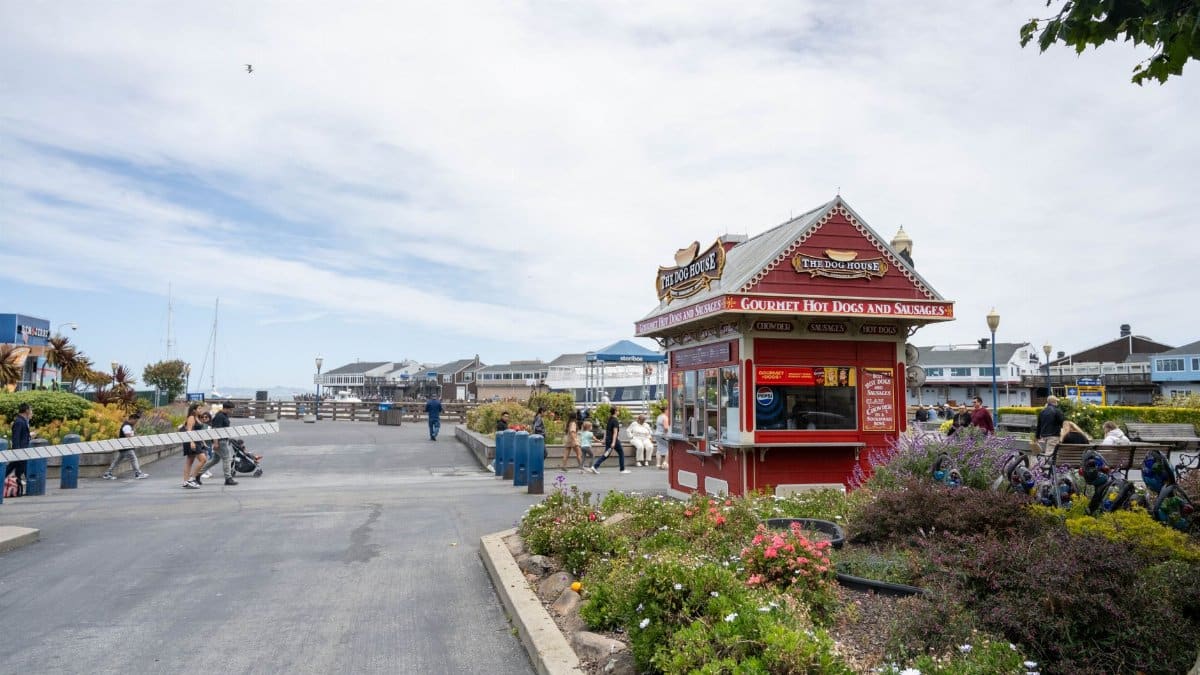
A ridge of high pressure has parked over Northern California, and the result is a Bay Area hot spell that feels closer to late summer than to the middle of October. Inland valleys are spending afternoons in the 90s. Cities nearer the water are lingering in the 80s. Jackets stay in the car. Schoolyards stay bright after the last bell. Forecasters expect the warmth to hold into midweek before a change in the wind and a chance of rain pull readings back toward the season. For a region that often meets October with fog and a sweater, the pattern is familiar enough to shrug at and warm enough to rearrange a week of plans.
What forecasters are watching
The National Weather Service office that covers the San Francisco Bay Area has pointed to high pressure and a weaker marine push as the drivers of this warm run. In plain terms, the layer of cool ocean air that usually hugs the coast is thinner, and inland air has more hours to heat under a mostly clear sky. Monday and Tuesday look like the peak for many neighborhoods. Wednesday should still run warm before the pattern starts to loosen. By Thursday and Friday, a trough approaching from the Pacific is expected to increase clouds, lower temperatures, and raise the chance of showers in some spots. That is not a promise of a soaking storm. It is a bend back toward a typical October, with rain possible rather than assured.
Confidence is higher on the warmth than on the rain. Models can agree that a ridge will weaken and still disagree on how far south the moisture reaches, or on whether showers arrive during the commute or after dark. Readers who need a firm plan for Thursday should check the update that morning. A forecast issued on Sunday is a sketch, not a contract.
Where the afternoons run hottest

Heat here is never one number. A person on Ocean Beach can feel a breeze that never quite arrives in Concord or Livermore. During the warmest afternoons, the highest readings tend to land in interior valleys of the East Bay and the North Bay, and in parts of the South Bay set back from the immediate shoreline. San Francisco should stay milder, though even there the usual gray may thin enough for a genuinely warm afternoon. Santa Rosa, Napa, and the inland valleys often lead when high pressure sits overhead. San Jose can join them if the delta breeze stays weak.
The useful habit is local. Check the town where you will actually stand, not a single number attached to the whole region. A forecast that sounds pleasant near the water can still be a hard shift for someone working a roof in a valley with little shade. Coaches, crossing guards, and delivery drivers learn that gap before anyone else does.
Why October can still feel like August

October along this coast is a negotiation between the ocean and the continent. Days are shorter than in July, yet the Pacific has stored heat all summer, and a weak onshore wind can let inland air surge toward the bay. Meteorologists sometimes describe a thermal trough, a tongue of lower pressure over the warm interior that helps pull hotter air westward. When that pattern lines up with a strong ridge aloft, the region borrows a run of days from August.
People who have lived here a decade learn the rhythm without needing the jargon. The first cold fog of the season is not a permanent verdict. Warm spells return until the storm track drops south with more conviction. Sweaters come out, go back in the closet, and come out again. The calendar says autumn. The sky keeps a vote of its own.
How the coast and the valleys split

The split shows up in small decisions. In the city, a light layer still makes sense for the morning and for the ride home if the wind picks up after sunset. Twenty miles inland, the same hour can feel like a patio evening, with dinner outside and windows open until late. A shared forecast of the mid 80s can mean a pleasant walk near the water and a sweaty school pickup where trees are scarce.
Older adults feel that difference once an apartment holds the day’s heat after dark. So do renters without a cross breeze, and parents timing playground time against the hottest hour. The same air mass produces two days, and sometimes three. Treating the Bay Area as one climate is how plans go wrong.
What the midweek change may bring

The turn later in the week is the piece that will matter to anyone planning a hike, a game, or a drive over the hills. As the ridge weakens, onshore flow should strengthen. That usually means lower highs, more cloud near the coast, and a better chance that inland spots fall out of the 90s. A Pacific system may then bring rain, especially toward the North Bay and higher terrain, with lighter amounts farther south.
Timing remains the soft part of any outlook several days out. A shift of half a day can move a shower from a commute into the overnight hours, or miss a given town entirely. The confident statement is the direction of change: warmer early, cooler later, with wet weather possible but not yet locked in. If you are booking an outdoor job, leave room for that bend in the week.
How ordinary routines bend

Warm Octobers rearrange logistics more than they rearrange the news. Morning runs move earlier. Dog walkers choose shaded blocks. Office workers who spent September in fleece show up in short sleeves and then regret the choice on the train if marine air returns by evening. Farmers markets stay busy. Restaurants with outdoor seats fill tables they might have covered a week ago.
I have watched this toggle for years from a sidewalk in the East Bay. One afternoon the talk is all about summer refusing to leave. The next, people are hunting for a jacket they put away too soon. The behavior is specific even when the talk is loose. Residents trust the week they can feel, then adjust when the map changes color. A Bay Area hot spell is less a spectacle than a revision of errands, school pickup, and what gets left in the car.
Heat, dryness, and fire weather
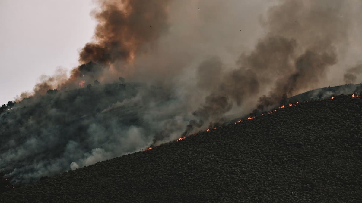
Any warm, dry stretch in autumn raises a fair question about wildfire conditions. Grass that grew in spring has cured. Humidity can drop when winds turn offshore, and that combination has a long memory in Northern California. A Bay Area hot spell is not the same thing as a severe offshore wind event. This week’s public forecast looks more like stagnant warmth than a powerful dry gale. The distinction matters, and it should not become an excuse for carelessness.
The habits that help do not require a red flag warning to be useful. Skip equipment that can spark on dry hillsides. Do not leave a vehicle idling in tall grass. Watch local alerts if winds strengthen as the pattern shifts. Warmth stresses people and landscapes. Wind decides whether that stress becomes an emergency. Agencies will say so plainly if the risk rises. Until then, ordinary caution is the right scale of response.
What recent autumns have taught

Long time residents can list autumn heat the way other cities list snowstorms. Some years the warmth is a brief visitor. Some years it settles in and makes late October costumes feel absurd. Researchers tracking California’s climate have documented hotter extremes, including shoulder seasons that no longer slide gently into winter. One week is not proof of that trend. A string of them starts to match what the records already show.
The National Oceanic and Atmospheric Administration publishes national temperature rankings that often place recent years near the top of the historical record. Local memory lines up with those charts more often than it used to. A warm week can still be weather. Repeated warm weeks, arriving when the school year is already deep into sweaters and harvest fairs, read as something larger. Journalists should say both things at once: this forecast is a forecast, and the backdrop is not the October of a generation ago.
Who feels it before the rest of us

A regional high flattens what a hot afternoon does to a body. Outdoor laborers, delivery drivers, and people waiting for buses in full sun meet the heat before anyone checking a phone in an air conditioned room. Older adults, young children, and anyone with heart or respiratory illness face higher risk when nights stay warm and homes do not cool. Public health guidance stays short because it works: water, shade, rest, and a plan for the hottest hours.
Libraries, malls, and cooling centers become real infrastructure even when the headline number would not alarm a desert city. This region is built around fog, bay wind, and the assumption that relief is a short drive toward the water. A week of 90s exposes the apartments and job sites where that assumption fails. The story is not only a pretty sunset over warm hills. It is also who can leave the heat and who cannot.
How to read the outlook

Weather apps invite a false precision. A single icon for Thursday can hide a spread of outcomes that forecasters spell out in the discussion under the map. Those paragraphs are worth the extra minute. They say where confidence is high, where the models disagree, and whether rain chances are widespread or scattered. For this week, the sturdy piece is the early warmth. The shakier piece is exactly who gets rain, and how much.
If a roof repair, a school field day, or a flight over the hills depends on the sky, read Wednesday morning rather than treating the weekend outlook as final. Ask what would change the plan, then watch for that change. The atmosphere does not owe the calendar a smooth decline into autumn. It offers a sequence, and the sequence can speed up.
What a cooldown gives back

When the marine air returns, the region usually exhales. Fog can stack against the hills again. Evening walks need a layer. Gardeners get a reason to ease off the hose if showers arrive, and hikers get trails that do not punish a late start. A cooldown is not only a drop on a thermometer. It is the return of a familiar sound: wind in eucalyptus, a damper smell off the water, pavement that no longer shimmers at four in the afternoon.
If rain does fall, even a light amount will darken hillsides that have looked pale since June. None of that erases the warm days that came first. It places them. Hold the lighter clothes through midweek, then watch the sky. The Bay Area hot spell continues into the middle of the week before a cooldown and a possible turn toward rain. October in this part of California has always been a negotiator. This week, summer still has the early word, and the Pacific is lining up a reply.