
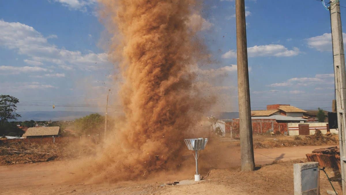
Residents across the Valley are preparing for prolonged periods of turbulent weather as Phoenix monsoon storms sweep into the area bringing strong winds and swirling dust that can disrupt daily routines and pose hazards on the roads. The pattern has settled in with moisture from the south fueling afternoon and evening activity that often lingers well into the night. Local forecasters note that the current setup could keep conditions unsettled through much of the coming days leaving drivers commuters and outdoor workers to adjust their plans accordingly.
Tracing the Path of Moisture from the South
The flow of humid air that fuels these events typically originates near the Gulf of California and moves northward across the desert landscape. Once it collides with daytime heating the atmosphere becomes unstable enough to produce towering clouds and sudden downpours. In recent days the pattern has strengthened allowing storms to form earlier and last longer than in a typical July week. Meteorologists point to a persistent upper level trough as the main driver keeping the corridor open for repeated rounds of activity.
How the Current Forecast Shapes Daily Life

With additional storms expected through the week of July 15 2026 many residents have begun shifting outdoor schedules to avoid peak heating hours. Morning commutes often remain clear yet by early afternoon the sky can darken quickly turning bright streets into scenes of blowing dust and reduced visibility. Schools and businesses have reviewed emergency protocols while transportation agencies monitor roadways for flash flooding and fallen debris. The extended timeline means the adjustments cannot be treated as a one day event.
Impacts Felt by Drivers and Pedestrians Alike
Strong winds often accompany the heaviest cells creating sudden gusts that push vehicles across lanes and topple loose objects along sidewalks. Dust walls can appear with little warning reducing sight lines to just a few yards and forcing drivers to pull over until conditions improve. Pedestrians face similar challenges as fine particles irritate eyes and lungs making protective masks a common accessory during peak storm periods. Local hospitals report modest rises in visits related to respiratory irritation and minor injuries from wind driven debris.
Lessons from Earlier Monsoon Seasons
Historical records show that extended wet patterns like the one unfolding now tend to produce both beneficial rainfall and disruptive side effects. In past years similar setups brought much needed moisture to parched soils yet also triggered repeated dust events that blanketed neighborhoods and strained air quality monitors. The current episode shares many traits with those earlier periods suggesting that patience and preparation will remain essential for the remainder of the week.
Steps Residents Can Take to Stay Safe
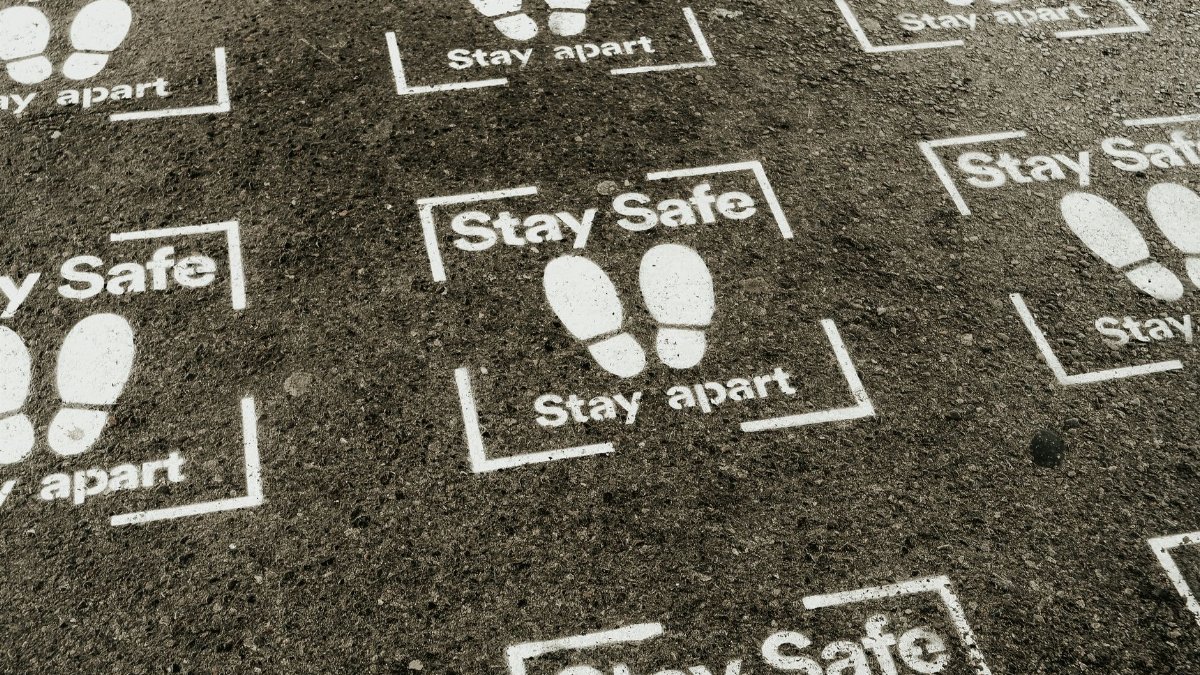
Officials recommend keeping an eye on real time alerts and avoiding unnecessary travel once storms begin to build. Vehicles should carry extra water and a basic emergency kit while homes benefit from clearing gutters and securing lightweight furniture on patios. Those with respiratory conditions are advised to limit time outdoors during dusty periods and to keep windows closed when winds pick up. Community centers have opened additional cooling spaces for anyone seeking refuge from the heat and humidity.
Effects on Local Infrastructure and Services
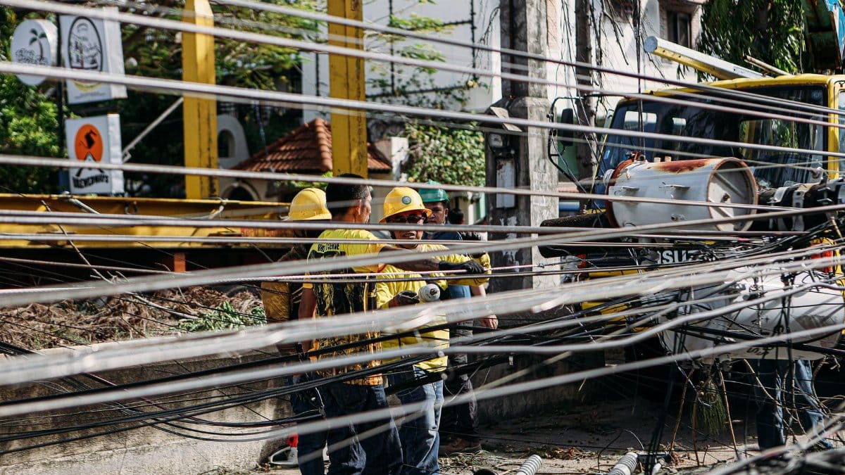
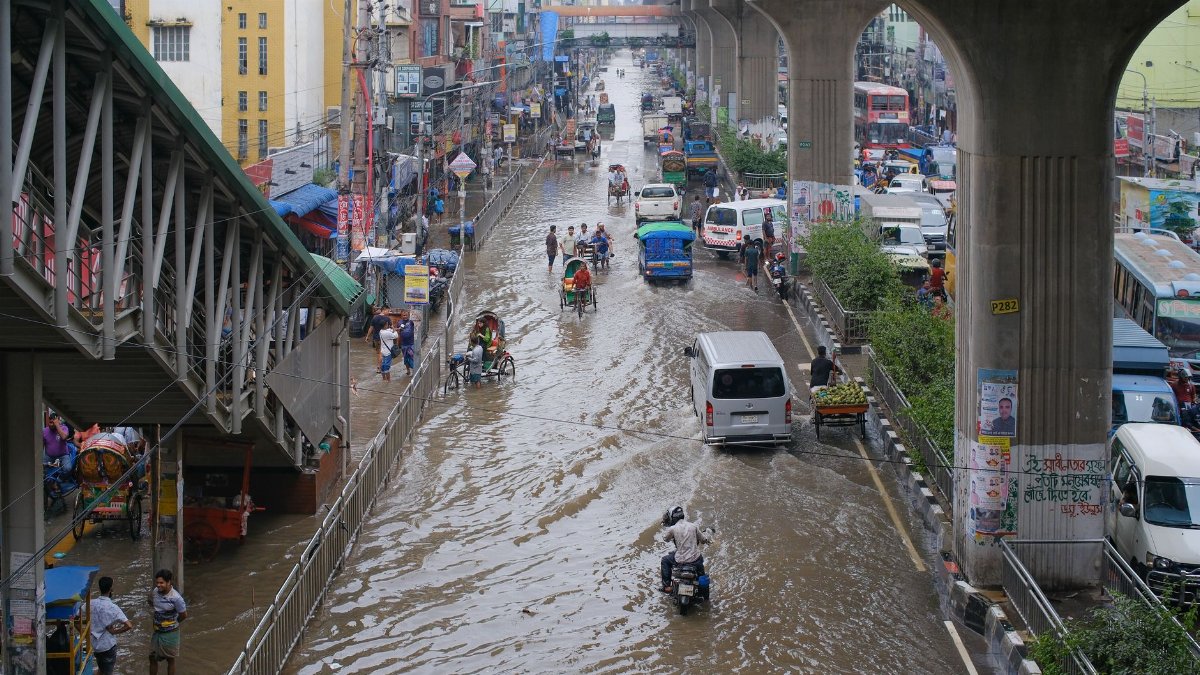
Power companies have staged crews in anticipation of lightning strikes that can damage lines and transformers. Road crews stand ready to clear mud and debris from low lying intersections where water tends to pool quickly. Public transit schedules may see delays as operators navigate reduced visibility and flooded streets. The cumulative strain on these systems underscores why the extended forecast matters beyond a single afternoon of rain.
Looking Ahead Beyond the Present Pattern
While the immediate focus remains on the current stretch of activity climate observers note that monsoon behavior can shift from one season to the next. Continued monitoring will help determine whether this prolonged period represents an outlier or part of a broader trend. In the meantime the emphasis stays on practical steps that keep communities functioning smoothly even as the skies continue to deliver dramatic displays.
Community Stories from the Front Lines
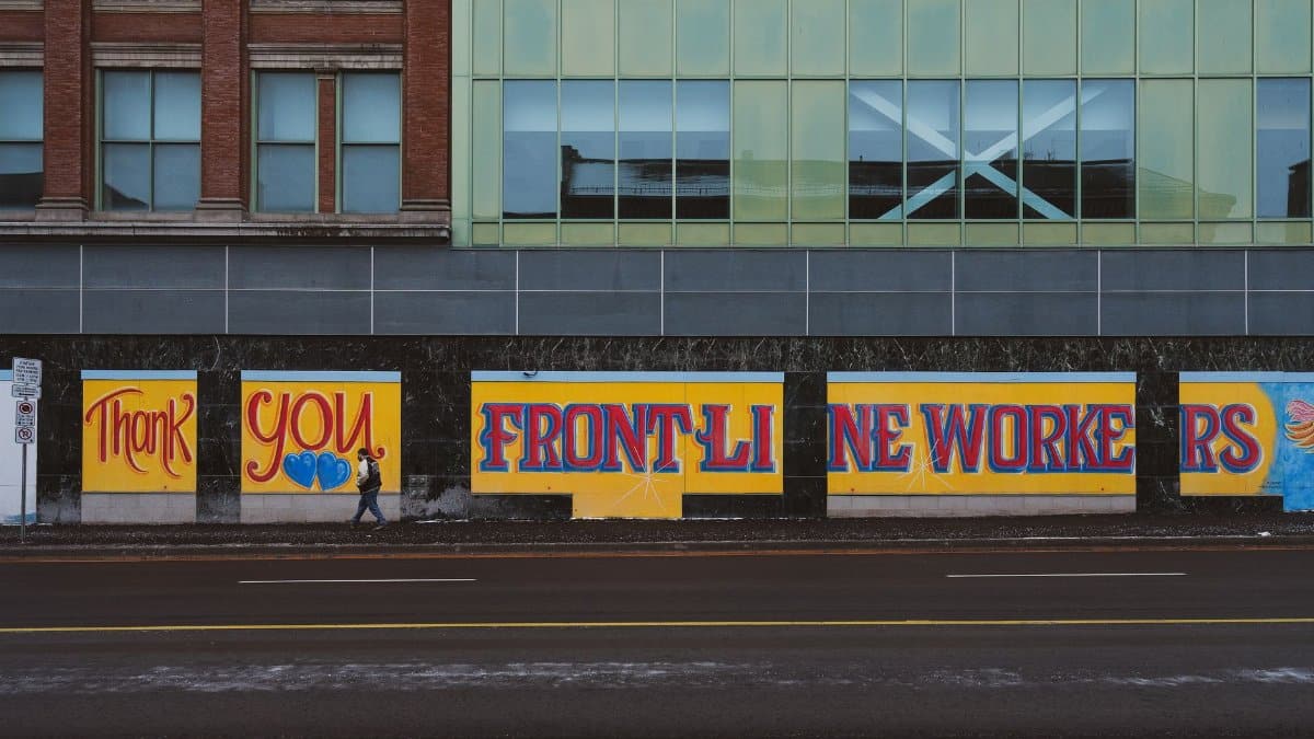
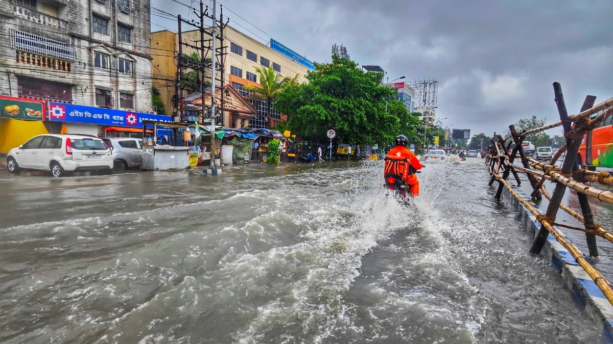
Across neighborhoods people share accounts of sudden downpours that turned quiet streets into temporary rivers and of neighbors helping one another move belongings out of harm’s way. These experiences highlight both the challenges and the quiet resilience that surface whenever Phoenix monsoon storms linger longer than expected. The stories serve as reminders that preparation and neighborly support often prove just as important as official warnings.