

The first thing many people notice is not the thermometer. It is the way the air feels when they step outside before sunrise, thinner, less sticky, almost polite. In a city that spends much of the year negotiating with moisture from the Gulf, that small change carries real news. The Houston dry air forecast for the opening days of this stretch points to highs in the 80s and a break from the heavy humidity that defined late summer. For readers who measure seasons by whether the windows can stay open and whether the house still smells like a closed box, the shift is both practical and personal. I have stood on a Houston porch in early October and felt that first honest breath of drier air, and it always arrives quieter than the headlines suggest.
What a drier morning actually signals
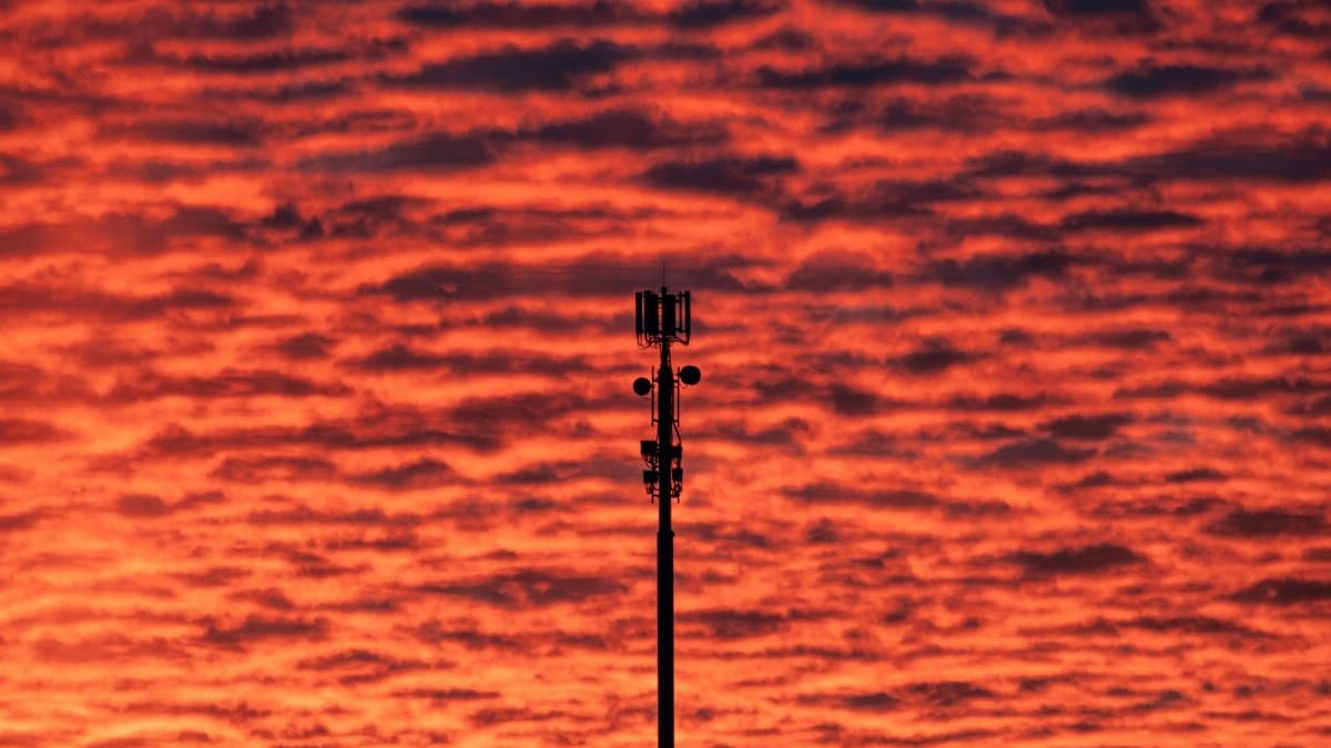
Dry air in Houston is not the desert kind of dry. It is relative. Dew points ease down from the sticky 70s into a range that lets sweat evaporate and lets skin stop feeling filmed over by noon. Meteorologists talk about air masses, fronts, and wind direction. Residents talk about hair, sleep, and whether the dog wants a longer walk. Both descriptions point at the same event. A pocket of continental air has pushed far enough south to interrupt the usual maritime flow. The result is a few days when the city feels less like a steam room and more like a place with seasons.
That interruption matters because Houston weather memory is short and intense. People remember the last flood, the last freeze, the last week when the air conditioner never cycled off. A modest dry spell can be easy to dismiss as a blip. It is still the first clear signal that autumn is trying to arrive, even if summer keeps a hand on the door.
Highs in the 80s and the shape of the week

Early in the period, afternoon temperatures are expected to settle in the 80s rather than push back into the low 90s that linger here well into fall. Nights should cool enough to open a window for a few hours, especially north and west of the urban core where pavement holds less heat. Downtown and the inner loop will stay warmer after dark, as they always do, but even there the air should feel less oppressive than it did in September.
Sunshine looks favored for the first half of the stretch, with only thin cloud at times. That combination, warm days and lower humidity, is the version of Houston weather that visitors imagine and longtime residents treat as a gift. It is also the version that can fool people into skipping water, hats, and sunscreen. The sun in October is still strong. Dry air does not mean mild sun.
Why the humidity finally gives way
Humidity here is mostly a wind story. When breezes come off the Gulf, they carry moisture that pools under a warm lid and makes every errand feel heavier. When the flow turns more from the north or northeast, that supply line weakens. Temperatures may not crash, but the moisture does. Clothes dry faster on a line. Car windows do not fog as readily in the morning. The city smells different, less like wet concrete and more like cut grass and dust.
Forecasters watch the boundary between those two kinds of air the way a harbor master watches the tide. If the northerly push is shallow, humidity rebounds by afternoon. If it is deeper, the drier feel can last through several sunrises. Right now the early week pattern favors the deeper version, which is why the Houston dry air forecast has drawn more attention than a routine warm spell would.
A possible front by the middle of the month
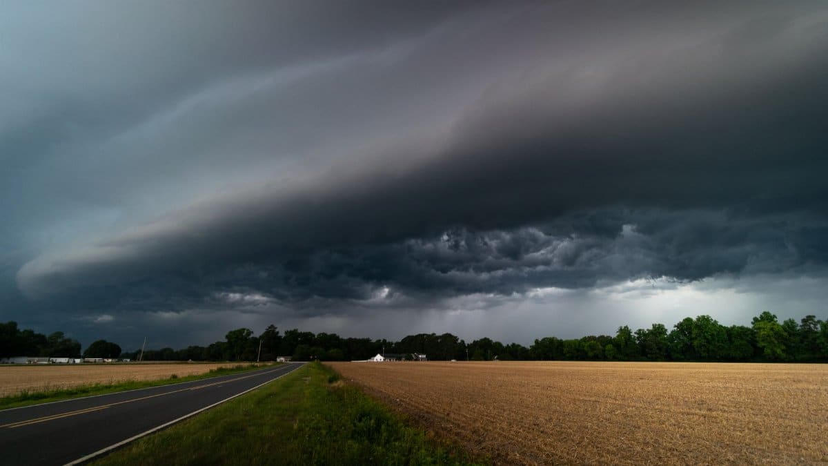
The more interesting question sits a little further out. Guidance for mid October hints at a stronger cold front, the kind that can drop highs more noticeably and bring a real taste of fall rather than a polite pause. Confidence at that range is never ironclad on the Gulf Coast. Fronts weaken, stall, or slide east of the city and leave Houston in the warm sector while Dallas gets the jacket weather.
Still, the signal is worth naming. A midmonth front would matter for more than comfort. It can clear smoke and pollen for a day, reset overnight lows, and change the calculus for outdoor events, school sports, and weekend plans that have been planned around heat. It can also arrive with a line of showers or storms if moisture is still pooled ahead of it. Dry now does not guarantee dry then. The two ideas can share a week without contradicting each other.
How confidence should be read

Weather communication fails when it pretends that a seven day picture is a promise. A better habit is to separate what is sturdy from what is suggestive. The early week dry air and 80s highs sit in the sturdy column. Winds, satellite trends, and the broad pressure pattern agree closely enough that planners can treat those days as reliably more comfortable than late summer.
The midmonth front sits in the suggestive column. It deserves a place in the conversation because the pattern supports it, and because readers are already asking whether sweaters can come out of storage. It does not deserve the same tone as tomorrow morning. I have learned, covering this city, that the most useful sentence is often the one that says what we do not yet know. We do not yet know whether that front will clear the coast or fade before it arrives. We do know it is the next hinge in the story.
Bodies, sleep, and the small mercies of lower moisture

There is a reason a dry spell becomes spiritual news of a modest kind, even in a weather brief. People sleep differently when the air is not pressing on them. Congregations that gather outdoors, morning walkers, and anyone who prays or thinks best before the heat builds will feel the week in their routines before they feel it in a graphic. Lower humidity can ease the sense of constant effort that Houston summers impose. That is not theology. It is physiology with a civic echo.
Allergies complicate the blessing. Drier continental air can stir dust and ragweed even as it lowers mold pressure indoors. Windows open at night help some households and bother others. A forecast about comfort should also be a forecast about tradeoffs. If your throat scratches by evening, the same air mass that feels kind at dawn may be the reason.
Yards, pipes, and the first autumn chores

Gardeners often treat the first dry stretch as permission. It is a reasonable moment to reseed thin spots, to water deeply rather than daily, and to notice which shrubs survived the long wet heat. Soil that spent weeks saturated can crust when it finally dries, so a slow soak beats a brief spray. Trees that leaned on constant moisture may show stress only after the air turns crisp. Watch new plantings more than established oaks.
Indoors, the practical list is short. Air conditioners can be set a little higher without sacrificing comfort. Dehumidifiers may finally get a rest. If a stronger front does arrive later, the old Houston ritual returns: check outdoor faucets, know where the covers are, and do not assume that one mild week means winter is finished with its surprises. This is October, not January, but the calendar has embarrassed this region before.
The Gulf still holds a vote

No local forecast is complete without the water to the south. Sea surface temperatures remain warm enough to reload humidity quickly if winds turn. A stalled boundary offshore can wring out heavy rain on one side of the metro and leave the other side merely cloudy. Tropical systems are less likely to dominate the headline in mid October than in August, yet the Gulf does not close for the season on a date. The responsible posture is attention without alarm.
That posture fits the Houston dry air forecast as it stands. Enjoy the drier mornings. Do not build a month of plans on them. If showers return ahead of a front, they may be welcome for dust and lawns even if they interrupt a picnic. Rain here is rarely abstract. It is traffic, bayous, and the question of whether a street that flooded in spring will do it again on an ordinary Tuesday.
What to watch from day to day

The useful checks are simple. Look at the morning dew point if your app shows it. A number in the 50s or low 60s will feel notably kinder than the 70s, even if the high temperature looks similar to last week. Look at wind direction. A north or northeast component supports the dry story. A return to south winds is the first hint that humidity is coming back. Look at overnight lows away from downtown if you live in the suburbs. Those numbers tell you whether a light layer is wise for an early start.
For the possible midmonth front, watch whether forecast highs begin to step down in updates rather than waiting for a single dramatic map. Fronts announce themselves in revisions. A Monday that was shown near 86 and later shown near 78 is the front gaining reality. A Monday that drifts back toward the upper 80s is the front losing its grip. Readers who follow that drift will be ahead of the slogan and closer to the weather they will actually meet.
A city learning to trust the pause
Houston is not a city that gets many uncomplicated pauses. Growth, storms, and heat keep the civic temperature high. A few days of drier air will not fix any of that. They can still change the tone of ordinary life. School pickup feels less punishing. A church picnic or a neighborhood meeting can happen without everyone calculating the nearest air conditioned room. Restaurants with patios fill earlier in the evening. The sky, when it is clear, looks higher.
I do not think it is sentimental to notice that. Weather is one of the last shared experiences that does not require a subscription. When the air eases, people talk to each other about it in grocery lines and at bus stops. That conversation is small, and it is also how a place remembers that seasons still exist.
The week in plain language

Expect a dry start, highs in the 80s, and mornings that feel more like fall than the calendar sometimes allows. Treat the stronger cold front possible by the middle of October as a credible chance, not a guarantee. Keep an eye on wind shifts that could restore Gulf moisture, and on any showers that form as the next boundary approaches. Use the kinder air for sleep, for outdoor plans that heat has delayed, and for the small maintenance that a soaked summer postponed.
If the front arrives with authority, the city will feel it in jackets on chair backs and in a different kind of quiet at dawn. If it stalls, the dry spell will have been a visit rather than a move in. Either way, the Houston dry air forecast has already done something useful. It has marked the moment when summer loosened its hold, and it has given residents a clear way to watch what comes next without pretending the Gulf has signed off for the year.