
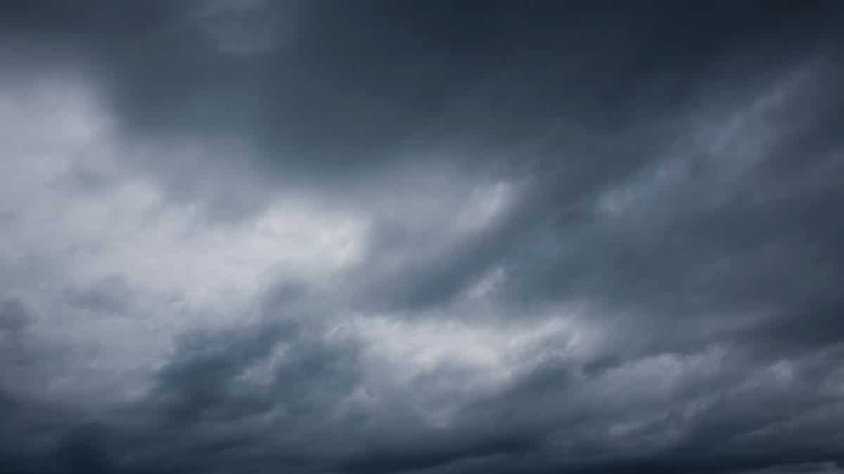
On a gray morning in late summer, the question in Minnesota is rarely whether the sky will change. It is where the rain will land, how long it will linger, and whether the western counties will take the heavier share while the cities get a lighter pass. The Minnesota Thursday rain forecast has become that kind of story this week, less a single number than a map of uneven chances stretching from the prairie toward the metro. People check it before school runs, before a harvest decision, before deciding whether a ball field will hold. A forecast that looks mild in one county can look stubborn a hundred miles west, and that gap is what many residents are watching now.
A sky that does not treat every county the same

Minnesota weather has a habit of drawing lines that do not follow county borders or highway exits. A Thursday system can look organized on a statewide map and still arrive as a sprinkle in one town and a soaking rain in another. That unevenness is the heart of the current discussion. Western Minnesota is expected to see the more persistent rain, while areas closer to the Twin Cities sit on the lighter side of the same broad pattern. For readers who live between those zones, the useful question is not a single yes or no. It is how far east the heavier band reaches, and whether it stalls.
Meteorologist Paul Douglas, whose Thursday outlook was reported by the Star Tribune, has described a wetter look for the west. That framing matters because it pushes attention away from a blanket statement and toward geography. A commuter in St. Cloud, a grower near Marshall, and a parent in Minneapolis can all be looking at Thursday and still be planning for different afternoons. The forecast is statewide in name and local in consequence.
Why the west is the wetter story
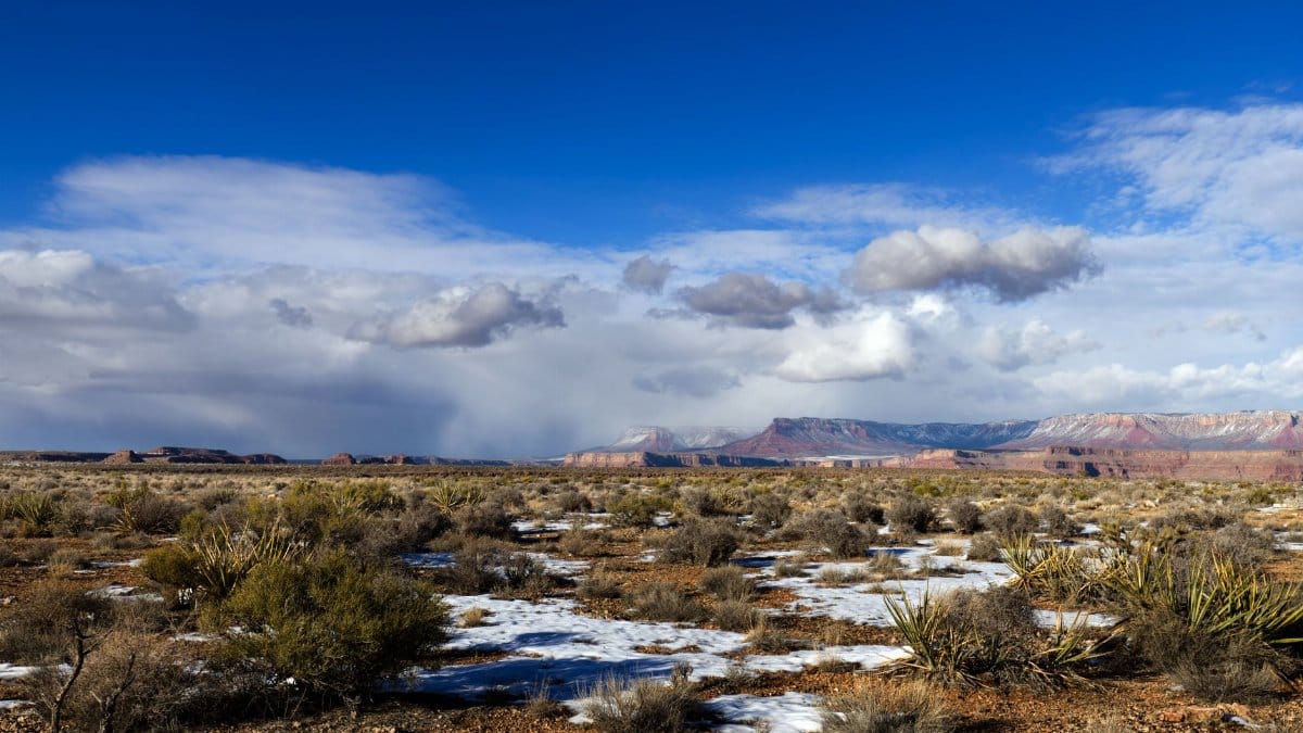
Rain does not fall evenly just because a front is crossing the state. Moisture, lift, and timing have to line up. When those ingredients stack more favorably over western Minnesota, the result is a longer period of rain rather than a quick passing shower. Heavier precipitation in that region can mean farm fields that stay soft, gravel roads that rut, and small streams that rise faster than people expect after a dry stretch. It can also mean a welcome drink for pastures that have been living on the edge of late summer warmth.
Residents west of the metro should treat Thursday as a day for flexible plans rather than a day for precise outdoor schedules. A morning that starts with light rain can deepen by afternoon if the band holds. Outdoor work that depends on dry ground, from roof repairs to youth sports, deserves a backup. The National Weather Service posts local forecasts and any watches or warnings at weather.gov, which remains the clearest public source when a pattern is still shifting hour by hour.
What the cities should expect instead

Closer to the metro, the same Thursday setup points toward a chance of rain without the same confidence in heavier totals. That distinction is easy to miss when a headline uses one word for the whole state. A chance is not a promise of a washout, and it is not a promise of a dry commute either. It is a signal to carry a jacket, to leave a little extra time, and to watch updates if an evening event sits outside.
Urban drainage handles a brief shower better than a long rain, but even modest rain can slow freeways, hide lane lines, and turn a bike ride into a poor idea. The practical reading for Minneapolis and St. Paul is caution without alarm. If the heavier rain stays west, the cities may spend much of the day under gray skies with intermittent drops rather than a steady downpour. If the band edges east, that reading changes. Forecasts exist so people can revise, not so they can freeze a plan at dawn and ignore the sky at noon.
September warmth still sitting above the old average

Rain is only half of the seasonal picture. Douglas has also noted that September is running about three degrees above average, a reminder that autumn has not fully taken the month even as school calendars and Friday night lights suggest otherwise. A few degrees do not feel dramatic at a bus stop, yet they shape how rain behaves and how people experience it. Warmer air can hold more moisture. Warmer ground can change how quickly a shower evaporates or how sticky an evening feels after the rain moves through.
Climate scientists track these departures over long records rather than single weeks. The federal climate dashboard at climate.gov explains how temperature averages are built and why a warm September can sit inside a larger pattern of shifting seasons. None of that turns Thursday into a climate lecture. It does explain why a rainy day in September may still feel mild, and why jackets packed for October can stay in the closet a little longer.
Fields, harvest windows, and wet soil
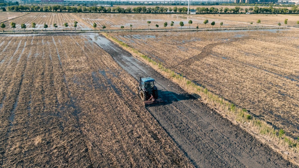
For growers, a Minnesota Thursday rain forecast is not background noise. It is a scheduling tool. Corn and soybean harvest in many parts of the state depends on fields that can hold machinery without rutting. A heavier rain west of the metro can close a window that looked open on Wednesday. It can also replenish soil moisture heading into the cooler months, which matters in counties that spent August watching clouds that never quite delivered.
The University of Minnesota Extension publishes practical guidance for crop decisions at extension.umn.edu, including materials on field conditions and harvest timing. Those pages will not tell a farmer whether Thursday rain will hit a particular quarter section. They do offer a sober way to think about wet soil, compaction, and the cost of pushing equipment into ground that is not ready. Neighbors with the same crop can still face different afternoons if one farm sits under the heavier band and another sits on its edge.
Commutes, classrooms, and canceled afternoons

Weather becomes civic when it touches the ordinary timetable. School districts watch radar before deciding whether recess moves inside. Transit riders watch it before choosing a stop with shelter. Youth coaches watch it before calling a game that parents have already driven across town to see. Thursday rain chances, heavier to the west, will not land as one announcement. They will land as dozens of small judgments made by people who would rather not be wrong in public.
That is why vague language frustrates readers. A forty percent chance can mean a brief shower or a longer period of light rain, depending on how the meteorologist defines the area and the time window. The honest response is to pair the percentage with a place. Western counties deserve more respect for disruption. The metro deserves a plan that can survive a shower without assuming a lost day. Between those poles, towns along the transition zone should refresh the forecast later in the morning rather than treating the first look as final.
How forecasters separate a chance from a soaking

A modern forecast is a comparison among models, surface observations, and the memory of how similar patterns have behaved over Minnesota terrain. Models can agree on a broad area of rain and still disagree on where the heaviest totals fall. Forecasters earn trust when they say so plainly. They lose it when a map implies precision the atmosphere has not granted.
Readers can do a simple version of that work without pretending to be meteorologists. Look at whether successive updates keep the heavier rain west of the metro or slide it east. Notice whether wording shifts from a chance to likely rain. Pay attention to timing words such as morning, afternoon, and evening, because a rain that arrives after the commute is a different civic event from a rain that arrives during it. The Minnesota Thursday rain forecast is most useful when it is read as a sequence of updates, not as a single sentence pinned to a refrigerator.
Rivers, lawns, and the memory of wet weeks

One Thursday rarely rewrites a watershed. Repeated rain does. People who live near smaller streams in western Minnesota know that a heavier day can matter more if the ground is already soft or if ditches are full from an earlier round. Lawns that looked tired in late August can green again after a soaking, which is a small pleasure and also a sign that evaporation has not kept up with what fell. Gardeners pulling tomatoes or covering herbs will care about duration more than drama. A long light rain wets soil deeply. A short hard burst runs off.
Public memory in this state is shaped by storms that overperformed and by forecasts that fizzled. Both experiences make people skeptical, which is reasonable. Skepticism becomes useful when it leads to checking a second update rather than ignoring the sky. It becomes costly when it leads to driving as if pavement were dry. Rain on Thursday does not need to be historic to deserve slower speeds and working wipers.
A warmer month and a turning season
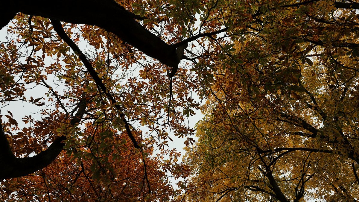
There is a particular Minnesota feeling in a warm September rain. The light is already lower than it was in July. The trees have started to think about color. Yet the air can still feel like summer when the rain pauses. A month running about three degrees above average supports that mixed sensation. Coats and shorts appear on the same sidewalk. Farmers talk about frost dates while kids still leave windows open.
I have stood at a kitchen window on mornings like this and tried to decide whether the gray would thicken or thin. The honest answer is often neither drama nor dismissal. Thursday asks for that middle posture. Western Minnesota looks more likely to get the meaningful rain. The metro looks more likely to get the glancing version. Both readings can be true at once, which is frustrating for anyone who wants a single plan for the whole state and clarifying for anyone willing to locate themselves on the map.
What to watch before the day is underway

A few checks cover most households. Look at the local forecast after dawn, not only the night before, because timing often sharpens overnight. If you live west of the metro, assume the wetter scenario until an update says otherwise, and move outdoor work earlier or later accordingly. If you live in the cities, plan for interruptions rather than a washout, and keep an eye on whether the heavier band is drifting. If you farm or coach or run a shift that cannot pause, build a decision time into the morning so the call is made with fresh information.
Travelers crossing the state should not assume the weather they leave will match the weather they meet. A drive from the western prairie into the metro can move from steady rain into breaks in the clouds, or the reverse if the system reorganizes. That is not indecision by the forecaster. It is the shape of the pattern Douglas and others have been describing: heavier precipitation to the west, a lesser chance farther east, all of it set against a September that has stayed milder than the long term average.
Reading the forecast without demanding certainty

People sometimes treat weather writing as a test the sky will grade. A better standard is whether the forecast helped someone avoid a bad surprise. On that standard, the useful sentence this Thursday is geographic. Western Minnesota is the wetter side of the state. The metro is not promised a dry day, but it is not the center of the heavier rain either. September warmth, about three degrees above average in the accounting Douglas offered, keeps the season from feeling fully settled.
The Minnesota Thursday rain forecast will keep changing in small ways as new observations come in. That is a feature of an honest science, not a flaw to be scolded. Residents who match their plans to place, timing, and the latest update will get more from it than residents who want one word to cover five hundred miles of sky. Rain is coming into the conversation. How much of it arrives at a given door depends on which side of that west to east gradient the door is on.