
By late September the streets of Fort Lauderdale had the look of a city that had been rained on for weeks and had stopped pretending otherwise. Lawns sat soft underfoot. Canals ran high and brown. Drivers slowed at intersections where the pavement still held a skin of water from the last cell. Into that soaked quiet came a number that will sit in the local weather books for years: the Fort Lauderdale rain record for September, 20.75 inches by September 23, a total that doubled the monthly average. Forecasters then offered the mercy residents had been waiting for. Storm chances for the weekend fell to about 20 percent, and the sky, for a while, looked willing to cooperate.
What the September total actually measures

Twenty and three quarter inches is easy to say and hard to picture. If that water had fallen all at once and stayed where it landed, it would stand higher than many curbs and deeper than a typical step into a house. It did not fall all at once. It arrived in bands, in afternoon buildups, in nights when the radar filled and emptied and filled again. That pattern matters. A single cloudburst can overwhelm a drain and then leave. A month that keeps refilling the same low spots never gives the ground, the pipes, or the people a full reset.
Doubling the September average before the month has ended is the detail that turns a wet stretch into a record. Averages are built to absorb ordinary excess. They can take a stormy week and still look familiar by the thirtieth. When the running total has already matched two typical Septembers with days left on the calendar, the surplus is no longer noise. It is the month.
How the rain came in pieces
Residents described the pattern in the plain language of errands interrupted. A morning that started clear would sour by lunch. A commute that looked manageable on the way out would require a different route on the way home. The storms were not always the theatrical kind that make national video. Many were the smaller, repeating kind that keep sump pumps cycling and keep people checking the street in front of the house before they move the car.
That repetition is what a monthly record often hides. The headline is a sum. The lived version is a sequence. Each burst lands on ground that has not fully dried from the burst before it. Yards stop absorbing. Swales stay full. What would have been a brief nuisance in a drier month becomes another inch on a ledger that is already historic.
Streets, canals, and a longer memory of water
Fort Lauderdale does not meet a rainy September as a newcomer to flooding. The city sits on low coastal ground, laced with canals that are both amenity and drainage system. When the tide is high and the rain is persistent, water has fewer places to go. Streets that residents know by name become temporary creeks. Underpasses collect pools. Parking lots turn into shallow lakes that look harmless until a driver discovers the depth the hard way.
People here still carry the memory of the extraordinary inundation of April 2023, when a single day dropped a staggering amount of rain and large parts of the city stalled. This September is a different shape of event, a slow accumulation rather than one overwhelming afternoon, but the muscle memory is the same. Residents move cars to higher pavement. They lift what they can off garage floors. They watch the canal behind the house the way other cities watch a river gauge.
Why this month is built for heavy rain
September in South Florida sits deep in the wet season. The air is warm, humid, and ready to rise. Sea breezes collide. Disturbances drift out of the tropics and wring moisture out of an atmosphere that already holds plenty. None of that guarantees a record. It does explain why a record, when it comes, often comes now, and why a city can feel as if the sky has been assigned a quota it insists on meeting early.
The geography amplifies the arithmetic. Flat land sheds water slowly. Development has covered ground that once soaked up rain. Drainage systems designed for a certain intensity meet storms that arrive again before the last load has cleared. The result is not mystery. It is physics meeting a built city, hour after hour, until the monthly total looks unreal on paper and entirely real in the street.
The weekend turn toward drier air

The relief in the forecast was specific. After the Fort Lauderdale rain record had already been secured with more than a week left in the month, the chance of storms over the weekend dropped to about 20 percent. That is not a promise of empty skies. In this climate a 20 percent chance can still produce a loud hour somewhere in the county. It is, however, a sharp change from days when rain was the likely guest rather than the possible one.
Drying matters for more than comfort. A pause lets canals fall. It lets saturated soil give up some of what it is holding. It lets crews see which drains failed because they were blocked and which failed because the volume was simply too great. For households, a dry weekend is a chance to pull wet carpet, run fans, and learn whether the musty smell in a closet is a passing inconvenience or the start of a longer repair.
What city workers watch when the rain finally eases
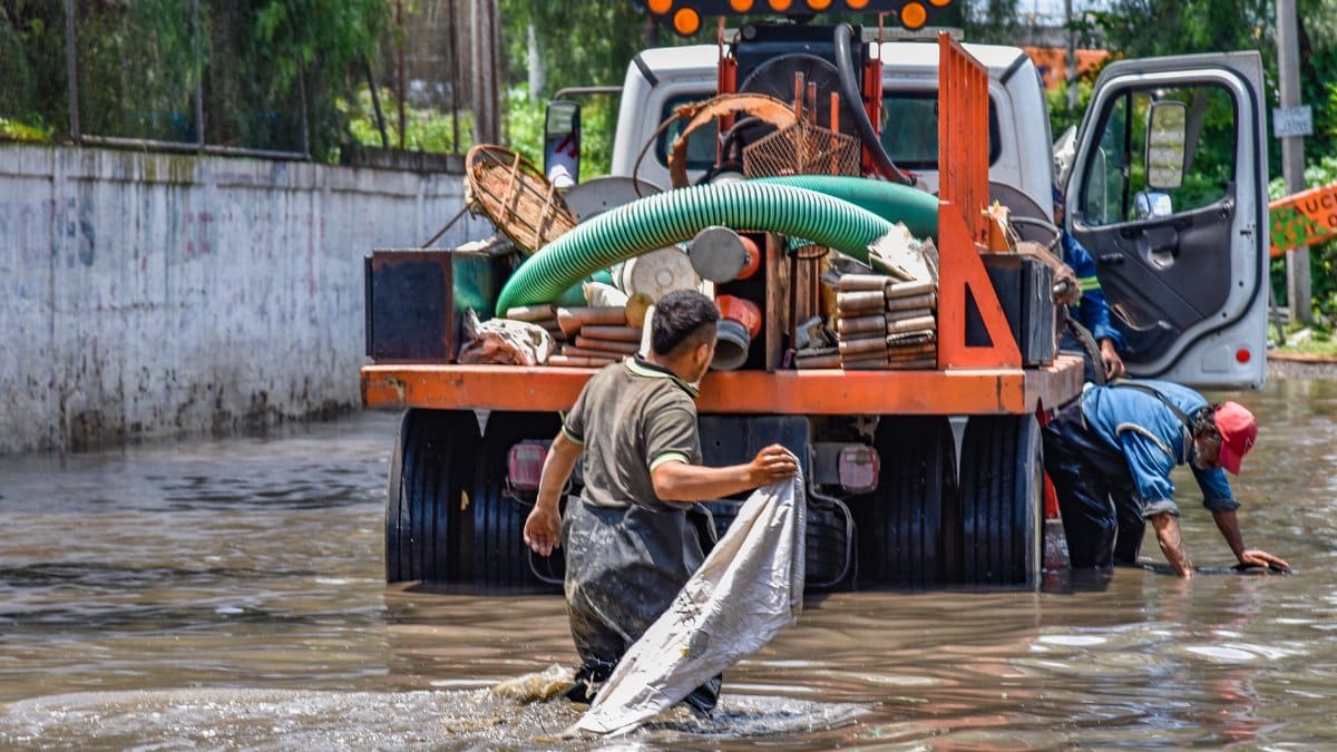
The unglamorous work begins as the radar clears. Crews look for standing water that has nowhere to drain, for inlets packed with leaves and litter, for roads that pond in the same place every storm because the slope was never quite right. A record month does not create those problems. It reveals them, repeatedly, until they are impossible to file as one time quirks.
Residents notice the same map. The intersection that floods in every heavy summer is no longer a rumor. The block where cars have to be moved by dusk is no longer bad luck. When the Fort Lauderdale rain record is this far above normal, those familiar trouble spots stop being anecdotes and start being evidence. The question that follows is practical: which fixes are maintenance, and which require a deeper rebuild of how water moves through the neighborhood.
Faith communities and the work of drying out

In a city where many people treat severe weather as both a logistical test and a spiritual one, the days after a soaking have their own ritual. Congregations open doors for neighbors who need a dry room, a meal, or a place to charge a phone. Pastors and lay leaders check on older members who live alone. Prayer, in these rooms, is rarely abstract. It is thanks that the roof held, worry for the family whose car did not start, and a plain request for strength to mop, haul, and start again.
That response does not cancel the damage. It does show how a record rainfall becomes a community event rather than only a private inconvenience. People who barely speak in ordinary weeks share pumps and extension cords. The theological language varies. The practice is steady: show up, stay a while, help the water leave.
The bills that arrive after the sky clears

A monthly total does not file an insurance claim. A ruined floor does. After repeated storms, homeowners and renters sort what is covered from what is merely miserable. Deductibles, documentation, and the slow argument over whether water came from outside or from a backed up drain turn a weather story into a household budget story. Renters in ground level units often have the least room to absorb the loss.
Small businesses feel it in lost hours. A shop that closes for an afternoon flood may reopen to find inventory spoiled and customers staying home until the streets look normal. The record is a public number. The cost is private, scattered across receipts that never make the weather page.
What one record does and does not prove
It is tempting to treat any extreme month as a final argument about the climate. Honesty asks for a narrower claim. One September, even a record September, is a single draw from a noisy climate. It does not, by itself, redraw the trend line. What it does do is fit a pattern scientists have described for a warming world: a warmer atmosphere can hold more moisture, and when storms form, they can unload more of it. Coastal cities already living near the edge of their drainage design feel that tendency first.
The Fort Lauderdale rain record for this September should be read in that careful way. It is a fact about this month. It is also a warning light, not a complete diagnosis. Cities that wait for a single chart to settle the question will keep meeting the water in the street before they meet it in the plan.
Comparing this month with the storms people still name
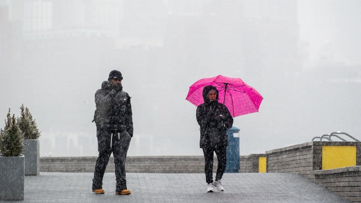
Locals sort rain events the way other places sort winters. There is the day everyone remembers, the April flood that stopped the city, and there are the seasons that wore people down without a single famous hour. This September belongs more to the second category, even with a number large enough to smash the monthly mark. The harm is cumulative. Sleep gets lighter. The commute gets longer. The question of whether to replace the flooring waits until the next dry stretch, which may not last.
That distinction should shape the public response. Emergency theater fits a single catastrophic day. A record built from many storms asks for stamina: maintenance that keeps up, shelters and aid that do not vanish when the cameras leave, and building rules that assume the wet season can overshoot its average by a wide margin.
How people decide what to trust in the forecast

After a month like this, forecast language gets a harder audience. A 20 percent chance sounds comforting until someone remembers a day when the slight chance parked itself over one neighborhood and left the rest of the county dry. Trust is rebuilt in small tests. If the weekend stays mostly clear, people exhale. If a stray storm still floods the usual corner, the number on the record books feels less like history and more like a condition that has not finished with them.
Good communication helps. Saying where the risk is highest, when the tide will be unfavorable, and which roads usually go under does more than repeating a percentage. Residents already know how to live with uncertainty. They want the uncertainty described in the geography they drive.
Living with a wetter calendar

The practical lessons are not glamorous, and they are not new. Know the high ground on your block. Keep documents off the floor. Clear the drain you can reach. Check on the neighbor who cannot easily move a car. Treat a pause in the rain as working time, not as proof that the season is over. September still has days left, and a drier weekend does not repeal a total that has already doubled the norm.
There is also a civic lesson. A Fort Lauderdale rain record of this size is not only a curiosity for almanacs. It is a stress test of canals, pumps, building habits, insurance, and neighborly care. The sky offered a number. The city now has to decide what it is willing to change before the next month tries to match it.
A pause, not a conclusion
Weekend drying will feel like a gift, and it should be taken as one. Fans will run. Streets will show their painted lines again. People will walk dogs on pavement that no longer splashes at every step. That ordinary pleasure is worth naming, because the month earned it.
It should not be mistaken for an ending. The Fort Lauderdale rain record is already set, the average already doubled, the ground already taught a lesson it will not forget by Monday. What the drier days provide is time: to repair what can be repaired, to notice which systems failed in the same old places, and to say, without drama and without denial, that this city now lives inside a wetter set of expectations than the ones its streets were built to meet.