
As summer draws to a close many families across Minnesota prepare for one last stretch of leisure before routines resume. The season often brings a mix of anticipation and reflection on time spent outdoors. This year the Twin Cities weekend forecast suggested warm conditions that would linger with noticeable moisture in the air yet limited chances for heavy downpours in the immediate metro area. Observers noted how such patterns influence everything from outdoor gatherings to simple walks in local parks. The overall setup reminded people that late summer in the upper Midwest carries its own rhythm shaped by distant weather systems and regional humidity.
Regional Air Patterns and Their Reach
Meteorologists tracked a broad area of moisture moving northward from the central plains. This flow kept temperatures in the upper eighties during daylight hours across much of the southern half of the state. Evening hours offered little relief as dew points stayed elevated near seventy degrees. Such readings created a sense of heaviness that settled over neighborhoods from Minneapolis to surrounding suburbs. Residents described the air as thick enough to affect energy levels during routine activities like yard work or evening strolls.
Humidity and Daily Comfort Levels
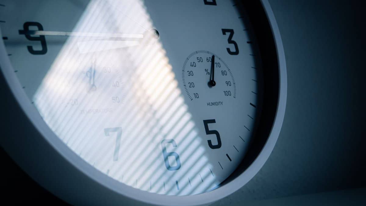
High moisture content meant that perceived temperatures often exceeded actual readings by several degrees. People adjusted plans accordingly by moving gatherings indoors or seeking shade during peak afternoon periods. Local parks saw steady use in early morning or late evening when conditions felt slightly more manageable. The pattern aligned with typical late summer behavior yet stood out for its consistency over multiple days.
Precipitation Chances and Timing Shifts
Rain development remained focused farther west for much of the period. Scattered showers appeared possible by Monday evening as a front approached from the Dakotas. Until that point most locations reported only isolated sprinkles that amounted to little measurable accumulation. This left lawns and gardens in need of supplemental watering in some cases while avoiding the disruptions that heavier storms might bring.
Impact on Outdoor Events and Gatherings
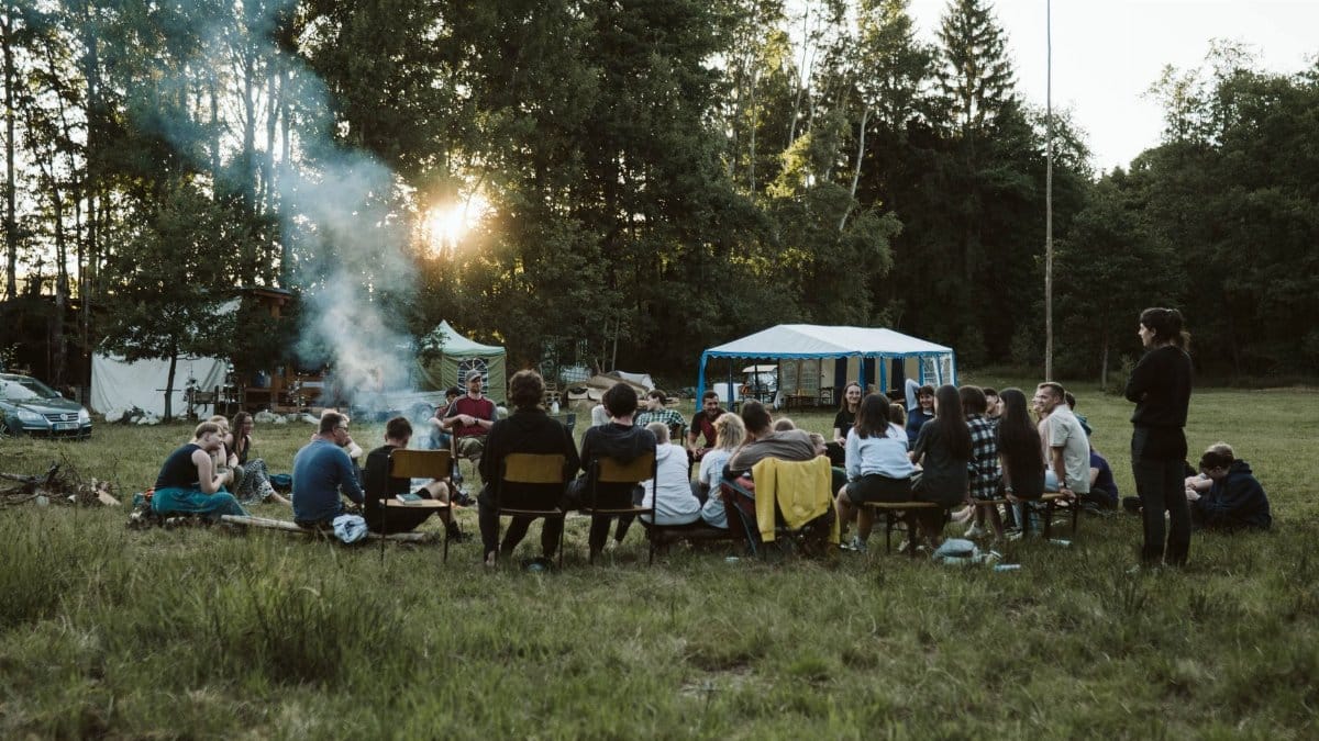
Labor Day plans proceeded with adjustments for the warmth rather than concerns over downpours. Picnics and barbecues continued in shaded areas or under tents where available. Community festivals reported good attendance despite the stickiness that encouraged frequent breaks for cold drinks. Organizers emphasized hydration and light clothing as practical steps for participants of all ages.
Longer Term Outlook for Early September
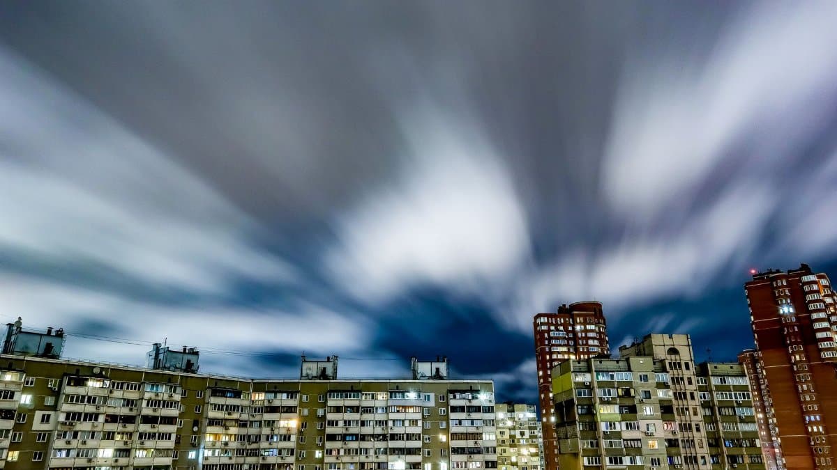
After the holiday a gradual cooling trend appeared likely as drier air filtered in from the north. Temperatures were expected to settle closer to seasonal averages in the seventies during the day. This shift promised more comfortable evenings and a return to conditions better suited for extended time outside without the same level of fatigue.
Local Observations from Residents
Many longtime inhabitants noted that such humid stretches have become familiar markers of the transition period. Conversations at coffee shops and community centers often turned to comparisons with previous years when similar setups produced stronger storms. The current forecast stood apart for its relative calm on the precipitation side.
Preparation Tips for Similar Conditions

Simple measures helped many navigate the days with greater ease. Keeping windows shaded during peak sun hours reduced indoor temperatures. Fans circulated air effectively in homes without full air conditioning. Outdoor workers scheduled heavier tasks for cooler parts of the day to maintain productivity and safety.
Broader Climate Context in the Upper Midwest
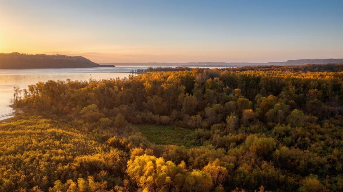
The weekend conditions reflected larger seasonal dynamics that influence the entire region. Warm moist air masses from the south frequently interact with cooler flows from Canada during this time of year. Such interactions set the stage for the variable weather that defines early autumn across Minnesota and neighboring states.