
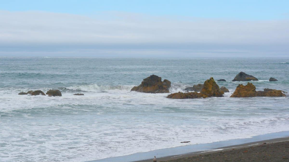
The evening calm along the northern Pacific shoreline was interrupted by an unexpected tremor that sent waves of concern through coastal communities. Residents in Eureka and surrounding areas felt the ground shift beneath them as a magnitude 4.8 event originated offshore. Reports from the United States Geological Survey indicated the shaking lasted only seconds yet registered widely across the region. No injuries or major structural harm emerged in the first hours after the incident. This Northern California earthquake served as a fresh reminder of the constant geological activity that shapes life in the state.
Precise Location and Timing of the Event

The quake originated about 30 miles west of Eureka in an area known for frequent seismic movement. It occurred on a Friday evening when many people were at home or finishing their workdays. Depth measurements placed the epicenter several miles below the ocean floor which helped limit surface damage. Local monitoring stations captured detailed readings that allowed quick assessments by experts.
Immediate Community Reactions and Reports

People described the sensation as a sharp jolt followed by a brief rolling motion. Some in Eureka noted items shifting on shelves while others farther inland reported little to no awareness of the event. Social media posts appeared rapidly as residents checked on neighbors and shared their experiences. Emergency services received a modest number of calls but found nothing requiring large scale response.
Scientific Context Behind Regional Seismicity
Northern California sits near the boundary of major tectonic plates where movement occurs regularly. Scientists track these patterns through networks of sensors that provide real time data. The recent event fits within expected ranges for the area though each occurrence adds to the overall record. Ongoing studies help refine models that predict future activity levels.
Role of Early Warning Systems in Place

California maintains an alert network designed to give seconds of notice before strong shaking arrives. In this case the modest size meant limited activation yet the infrastructure proved functional. Officials continue to promote public awareness so that more residents understand how to respond when alerts sound. Training programs in schools and workplaces emphasize simple actions like dropping to the ground.
Historical Patterns of Similar Events

The region has experienced numerous quakes of comparable strength over past decades. Records show clusters of activity that come and go without clear warning. Each instance contributes to a broader understanding of fault behavior along the coast. Experts review these archives to identify any shifts in frequency or intensity.
Preparedness Measures for Residents

Households are encouraged to secure heavy furniture and maintain emergency supplies. Communities often hold drills to practice responses during sudden events. Local governments provide guides that outline steps from the moment shaking begins until aftershocks subside. These efforts aim to reduce harm even when larger quakes occur.
Potential Links to Broader Natural Cycles

Some observers connect seismic events to wider environmental rhythms though direct causation remains under study. The ocean floor setting of this quake highlights how underwater geology influences coastal zones. Awareness of these connections can foster greater respect for natural forces at work.
Looking Ahead to Monitoring Advances

New technologies promise improved detection and faster public notifications in coming years. Investments in sensor arrays continue across the state to close gaps in coverage. Such progress supports both scientific research and everyday safety for those living in active zones.