

In the vast expanse of the Atlantic Ocean a colossal plume of fine particles has been making its steady way westward for days now drawing attention from weather observers across the southern United States. This natural event known as Saharan dust Texas bound could soon influence conditions in unexpected ways. Forecasters note that the dust originates from African deserts and travels thousands of miles carried by prevailing winds that shift seasonally. For residents in North Texas the arrival may bring subdued sunlight and a subtle veil over familiar landscapes rather than dramatic storms or disruptions. Such occurrences remind observers of the interconnected nature of global weather patterns where distant lands shape local experiences in quiet yet measurable fashions. The timing this week aligns with typical summer movements that have been documented repeatedly over recent decades.
Tracing the Path of African Dust Across the Sea
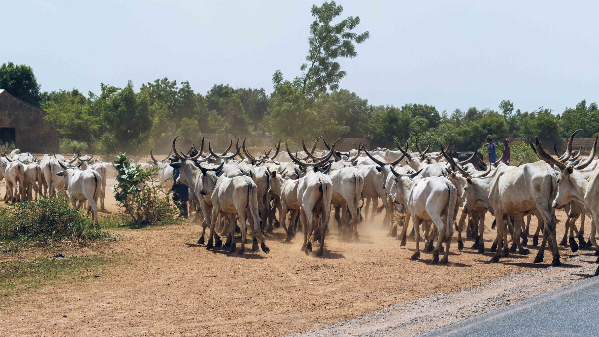
Dust from the Sahara begins its journey lifted by strong winds in North Africa before entering the trade wind belt that pushes it toward the Americas. Scientists monitor these movements using satellite imagery that reveals the plume expanding and thinning as it crosses open waters. In past years similar clouds have reached the Caribbean and Gulf Coast regions depositing layers of minerals on land and sea alike. The current plume follows this established route with adjustments based on wind speeds and atmospheric pressure systems. Observers in Texas anticipate the leading edge arriving midweek bringing changes that remain modest compared to more intense weather fronts.
Expected Effects on North Texas Skies
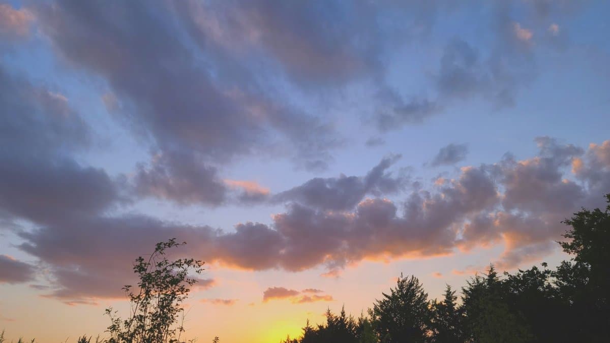
Hazy conditions represent the most visible outcome for those looking upward in the Dallas Fort Worth area and surrounding counties. Sunsets might appear softer with muted colors while daytime light takes on a diffused quality that reduces glare without eliminating it entirely. Meteorologists emphasize that these alterations stay temporary and do not signal severe storms or temperature swings. Instead the dust acts like a thin filter that scatters sunlight across a broader area. Local reports from previous events confirm that residents often notice the difference most clearly during early morning or late afternoon hours when angles favor visibility of the suspended particles.
Air Quality Measurements and Public Awareness

Agencies track particle concentrations closely as the plume approaches to provide timely updates through standard channels. Levels of fine dust may rise slightly yet usually remain within ranges that do not trigger widespread alerts for the general population. Sensitive individuals such as those with respiratory conditions receive advice to limit extended outdoor activities during peak presence of the material. Data from earlier arrivals show that concentrations peak for one or two days before declining as winds disperse the particles further. This pattern allows communities to prepare without major schedule changes.
Historical Patterns of Similar Arrivals

Records indicate that Saharan dust reaches Texas multiple times each summer though intensity varies with source strength and wind consistency. Some years produce thicker layers that linger longer while others deliver thinner veils barely perceptible to casual observers. These cycles connect to broader climate rhythms in the tropics and subtropics. Analysts review decades of observations to refine predictions and improve public communication about what to expect. Each event adds to the collective understanding of how such dust interacts with regional humidity and temperature gradients.
Monitoring Tools Used by Forecasters

Advanced satellite systems and ground stations work together to map dust movement in real time allowing precise timing estimates for Texas. Models incorporate ocean surface temperatures and upper level wind flows to project plume behavior over the coming days. Collaboration between national and regional offices ensures consistent messaging that reaches residents through apps websites and broadcast media. This infrastructure has grown more sophisticated allowing earlier notice than was possible even ten years ago. Continued investment supports better resolution in forecasts that benefit agriculture aviation and outdoor planning.
Possible Contributions to Soil and Marine Life
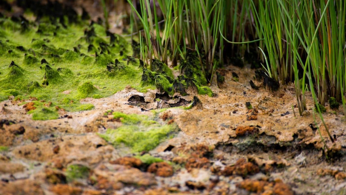
Beyond atmospheric effects the dust carries nutrients such as iron and phosphorus that can enrich ocean waters and eventually land surfaces after deposition. In the Gulf of Mexico these minerals support plankton growth which forms the base of marine food chains. On land in Texas the particles add trace elements to soils over time though amounts from single events stay small. Researchers study these processes to gauge long term ecological roles of transcontinental dust transport. Such findings highlight how seemingly distant geological features influence distant ecosystems in subtle cycles.
Guidance for Residents Planning Outdoor Time

Those intending to spend time outside during the plume passage benefit from checking daily updates on visibility and air conditions. Simple steps like wearing sunglasses and staying hydrated help maintain comfort amid the altered light. No major restrictions apply for most people yet awareness prevents unnecessary concern over normal variations in sky appearance. Community organizations sometimes share reminders through local networks to ensure broad access to information. The overall experience remains one of mild curiosity rather than cause for alarm.
Looking Ahead to Future Seasons
Ongoing observations will refine understanding of how often and how strongly Saharan dust Texas encounters unfold in coming years. Patterns may shift with changes in source regions or atmospheric circulation though current evidence points to continued regular occurrences. Public interest in these events grows as more people recognize the global links they represent. Continued reporting from reliable outlets keeps communities informed and prepared for whatever natural displays arrive next.