
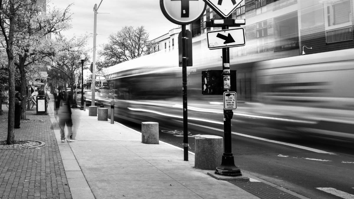
In the heart of New England a city of tight knit neighborhoods and busy thoroughfares has achieved something rare. Somerville has recorded no traffic fatalities for four straight years. This record on Somerville traffic deaths emerges from steady work on road design community input and policy shifts that put people ahead of speed. Residents and officials alike point to visible changes such as raised crossings and dedicated paths for cyclists as key factors in the turnaround. The result offers a model for other dense urban areas facing similar challenges with daily commutes and pedestrian activity.
Building on a foundation of prior safety initiatives

Somerville began laying groundwork years earlier through incremental improvements to intersections and sidewalks. Local leaders reviewed crash data from previous periods to identify high risk spots. They then targeted those locations with physical changes rather than relying solely on enforcement. This methodical approach allowed the city to measure progress and adjust plans based on real outcomes from driver behavior and pedestrian flows.
Engaging residents in the planning process

Public meetings played a central role in shaping the safety measures. City staff listened to concerns from families who walk to schools and commuters who bike to work. Feedback helped refine designs so that new features fit the character of each neighborhood. Such involvement built broad support and ensured that changes addressed everyday needs instead of imposing top down solutions.
Lowering speed limits across key corridors

Officials reduced posted speeds on many streets to twenty miles per hour or less. Signs and pavement markings reinforced the new limits while also alerting drivers to upcoming crossings. Data from before and after the adjustments showed drops in average vehicle speeds and fewer severe incidents. The policy shift aligned with research indicating that lower speeds dramatically improve survival rates for those struck by vehicles.
Adding physical infrastructure like speed humps

Teams installed raised pavement sections at regular intervals along residential routes. These features encourage drivers to maintain cautious speeds without the need for constant police presence. Maintenance crews monitor the humps for wear and integrate them with drainage systems to avoid flooding issues. Over time the additions became standard elements in street reconstruction projects throughout the city.
Creating protected spaces for cyclists and walkers

Buffered lanes and curb extensions separated bike traffic from cars on several main roads. Sidewalk widenings at corners gave pedestrians more room and better sight lines. These modifications reduced conflicts at turning points where most crashes once occurred. Usage of the new facilities grew steadily as people gained confidence in the safer environment.
Tracking progress with open data and reports

The city publishes annual summaries of traffic incidents and safety upgrades. Numbers show consistent declines in injuries alongside the zero fatality count. Analysts compare Somerville figures with those from nearby communities to highlight what works. Transparency keeps the public informed and accountable for continued funding of improvements.
Coordinating with neighboring towns on regional routes
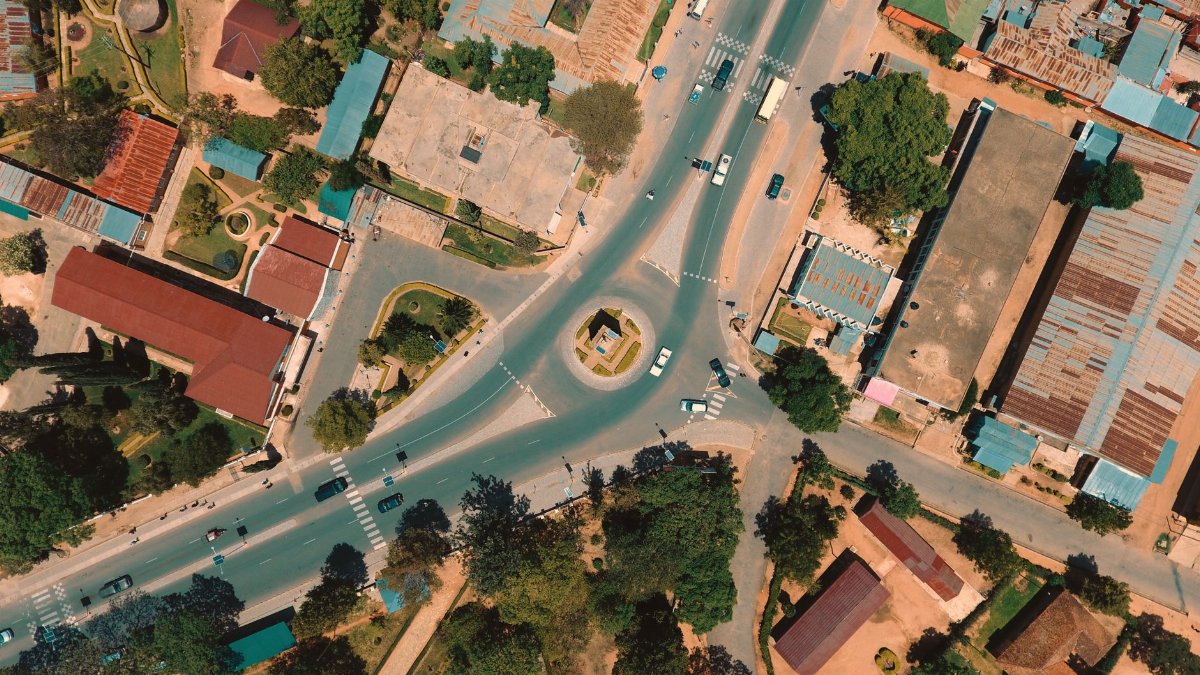
Somerville shares borders with Cambridge and Boston where major roads cross municipal lines. Joint working groups addressed through traffic that affects all three areas. Coordinated signal timing and consistent signage help smooth movement while maintaining lower speeds. This collaboration prevents safety gains in one place from shifting problems elsewhere.
Looking ahead to sustain the gains

Future plans call for expanded electric vehicle charging alongside further street calming. Officials also study emerging technologies such as automated speed monitoring. The focus remains on adapting to population growth and new mobility options without reversing the safety record. Continued resident input will guide these next steps to keep Somerville traffic deaths at zero.