
Recent updates from federal weather monitors indicate that the Pacific Ocean is heading toward one of its most powerful cycles in years. With a 95 percent likelihood cited in the latest models, this event stands to reshape rainfall patterns and coastal conditions across the western United States. California in particular faces the prospect of extended wet seasons that could test infrastructure and daily routines alike. The phenomenon known as super El Niño now looms large in planning discussions from Sacramento to San Diego.
Understanding the Current Ocean Temperature Trends

Sea surface readings in the equatorial Pacific have climbed steadily over recent months. These measurements exceed thresholds seen in prior strong cycles and suggest sustained warmth that fuels atmospheric shifts. Analysts track these changes through buoy networks and satellite data to refine seasonal outlooks.
Comparing Past Strong Cycles to Present Conditions

Records from the early 1980s and late 1990s show how similar ocean warmth produced widespread rain across the southwest. Those episodes brought flooding to valleys and mudslides along hillsides. Current data align closely with those benchmarks yet arrive amid greater coastal development.
Projected Rainfall Increases for Northern and Southern Regions

Models point to above average precipitation totals from November through March. Areas around Los Angeles and the San Francisco Bay could receive 150 percent of normal amounts in peak months. Such volumes raise the chance of river overflows and urban drainage challenges.
Coastal Flooding and Elevated Sea Levels
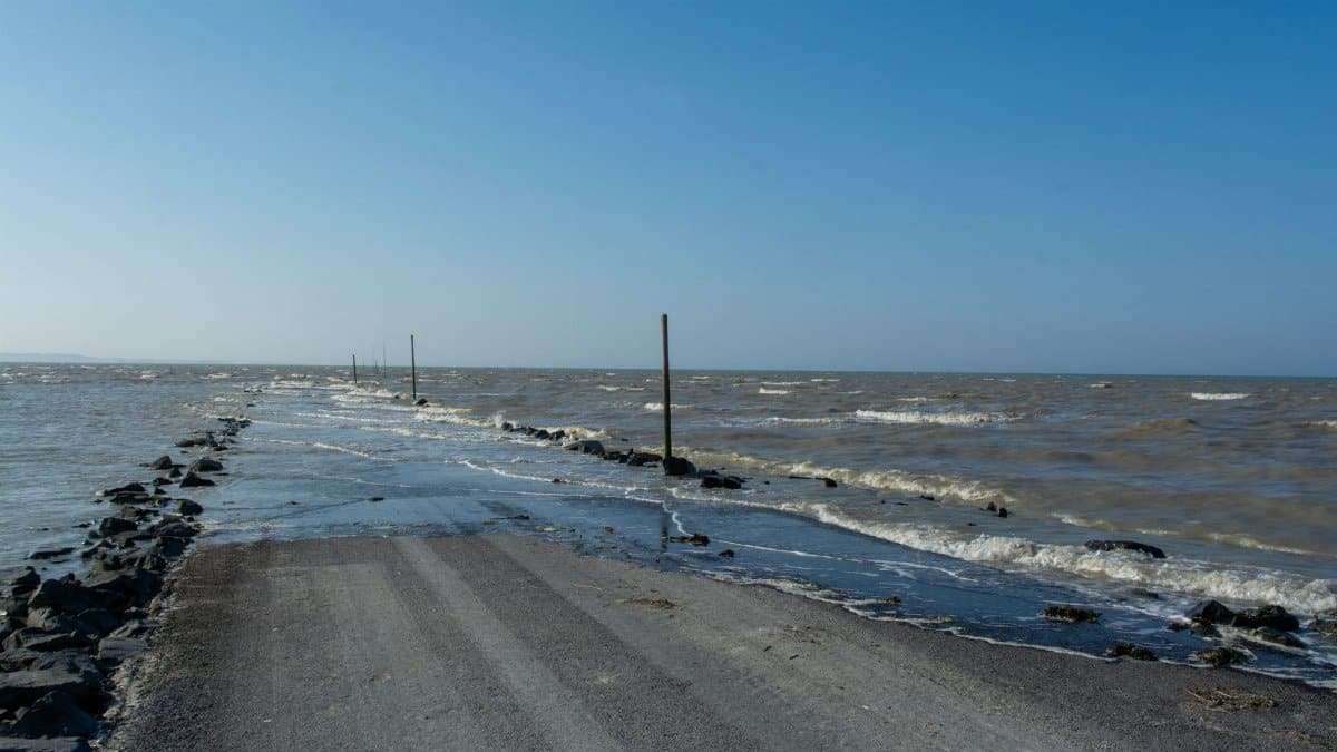
Higher ocean surfaces combined with storm surges may push water into low lying neighborhoods. Communities in Orange County and along the central coast have begun reviewing levee heights and pump capacities. Emergency managers note that even modest tidal additions can compound rain driven runoff.
Effects on Agriculture and Water Supply Systems
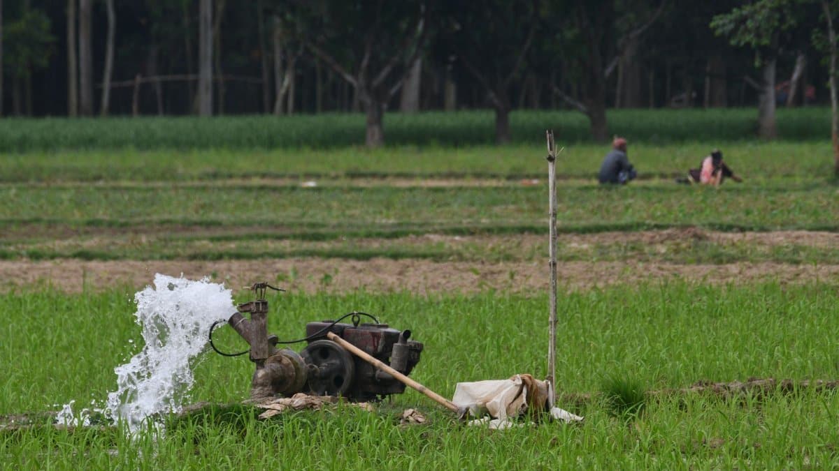
Central Valley growers anticipate both opportunities and risks from the added moisture. While reservoirs stand to gain storage, excessive downpours can damage crops and delay harvests. Irrigation districts are adjusting release schedules to balance flood control with long term reserves.
Transportation and Infrastructure Readiness Measures

State highway crews have increased inspections of bridges and culverts ahead of the wet period. Rail operators along coastal routes plan extra monitoring for track stability. Airports serving major cities are updating drainage protocols to limit delays during heavy events.
Insurance and Economic Considerations for Homeowners

Property insurers have begun reviewing coverage terms in flood prone zones. Premium adjustments may reflect updated risk maps that incorporate stronger El Niño scenarios. Homeowners are advised to examine policies well before peak season arrives.
Community Preparation and Public Awareness Efforts
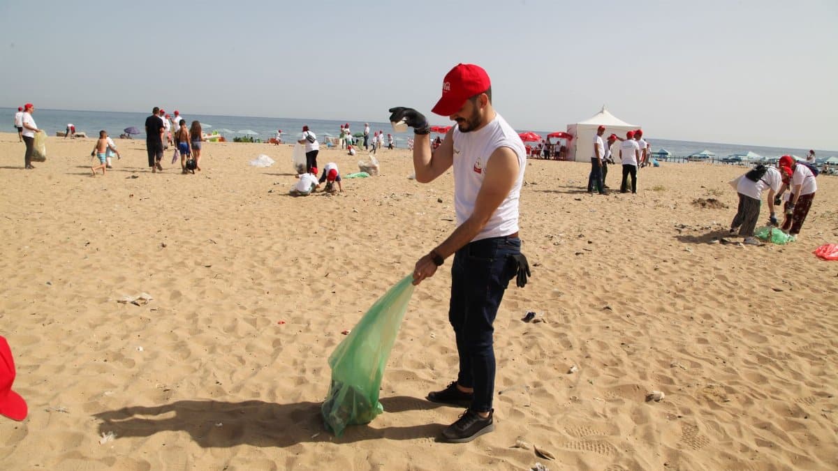
Local governments are expanding outreach through town halls and online resources. Residents receive guidance on sandbag distribution points and evacuation routes. Schools and hospitals conduct drills to ensure continuity during possible service disruptions.
Longer Term Climate Context and Monitoring Needs
While this cycle represents a short term spike, it occurs against a backdrop of gradual ocean warming. Continued investment in observation networks helps distinguish natural variability from broader trends. Policymakers emphasize the value of flexible response plans that adapt as forecasts evolve.