
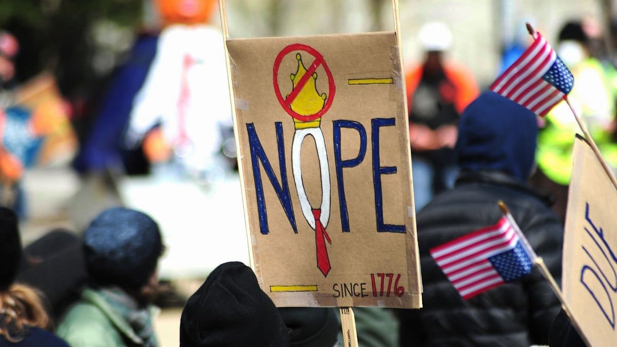
The Maryland General Assembly convened last summer amid growing public skepticism after a new set of legislative maps surfaced without broad input from local civic groups. Lawmakers presented the maryland redistricting proposal in closed sessions that left many residents questioning whether electoral advantage rather than community needs guided the boundaries. Observers noted that several districts appeared drawn to concentrate or dilute voting blocs in ways that favored one party over another. The process unfolded against a backdrop of national attention to similar efforts in other states where courts later intervened. Residents in suburban corridors outside Baltimore voiced particular unease about how their neighborhoods might lose representation.
Background of Legislative Map Adjustments

Maryland has adjusted its district lines every ten years following the census yet the latest round drew unusual scrutiny for its compressed timeline and limited public hearings. Officials cited population shifts in the Washington suburbs and along the Eastern Shore as reasons for change. Critics countered that the speed of deliberations suggested an effort to lock in advantages before the next election cycle.
Role of Party Leadership in Drawing Lines

Democratic majorities in both chambers held primary authority over the maps and some analysts argued this structure invited partisan considerations. Former state legislators described private meetings where proposed boundaries were tested for expected vote totals. Such practices echo earlier cycles but the current proposal amplified concerns because data tools allowed precise targeting of precincts.
Impact on Suburban Communities
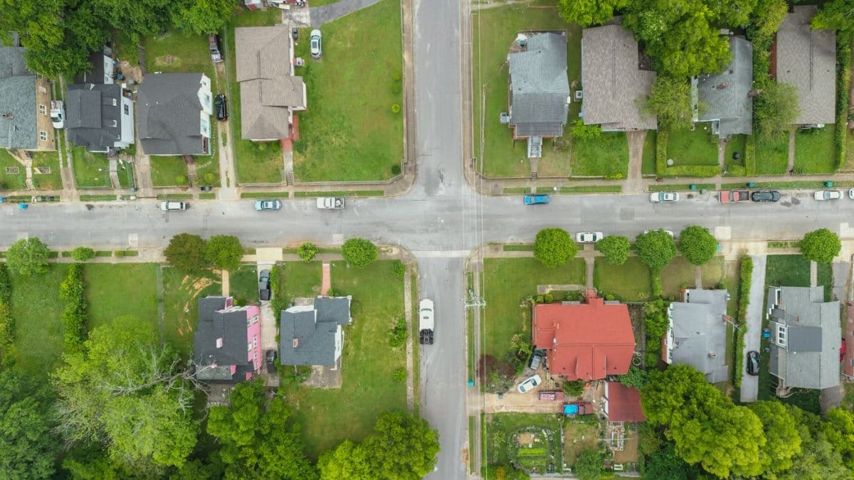
Voters in Montgomery and Prince Georges counties examined how the new lines might split established neighborhoods or merge them with distant areas. Local officials warned that fragmented districts could weaken advocacy for transportation funding and school resources. Community associations began organizing forums to explain the maps in plain terms.
Reactions from Advocacy Organizations

Groups focused on voting rights called for independent commissions similar to those adopted in other states. They pointed out that the current system places too much power in the hands of sitting officeholders who stand to benefit. Petitions circulated in several counties urging lawmakers to revisit the maps before final approval.
Comparisons with Practices in Neighboring States
Virginia and Pennsylvania have moved toward more transparent processes involving retired judges and citizen panels. Maryland leaders have resisted similar reforms citing constitutional provisions that assign map drawing to the legislature. The contrast has fueled arguments that the state risks falling behind in fair representation standards.
Potential Legal Challenges Ahead

Attorneys specializing in election law suggested lawsuits could arise if plaintiffs demonstrate that the maps violate equal protection principles. Past court rulings in Maryland have occasionally struck down portions of previous plans though full reversals remain rare. Filing deadlines approach as the proposal advances toward a vote.
Effects on Minority Voting Strength
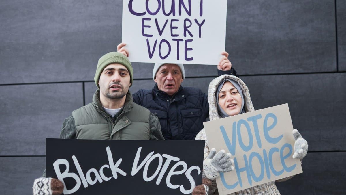
Demographers reviewed whether the boundaries preserve or reduce the ability of African American and Latino voters to elect candidates of choice. Some preliminary analyses indicated that certain urban districts gained population while rural districts lost ground in ways that might alter future outcomes. Public comment periods revealed anxiety among affected residents.
Long Term Consequences for State Politics
If the maps stand they could shape legislative majorities for the coming decade and influence policy priorities ranging from taxation to environmental regulation. Political scientists noted that entrenched district advantages often discourage competitive races and reduce incentives for compromise. The coming years will reveal whether these predictions hold.