
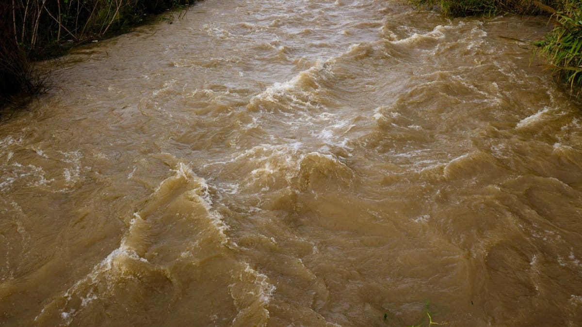
Before dawn on October 25, 2026, water was already moving where dust usually sits. In the high desert where Arizona, Colorado, New Mexico, and Utah meet, dry washes filled, low crossings disappeared, and porch lights came on as people listened for the particular sound of rain on hard ground. Four Corners flooding returned after a night of heavy rain and at least one tornado, and by morning crews were out assessing what the storm had rearranged.
A night that did not behave like autumn

October in this country is supposed to cool the afternoons and quiet the sky. Storms still happen, but the great summer pulse of moisture usually fades. This system did not follow that script. Rain fell hard enough, and long enough, to turn sheet flow into channels. Residents who have lived through monsoon seasons recognized the pattern even if the calendar said otherwise. The ground, baked and crusted after dry weeks, shed water instead of taking it in. That is how a desert floods: not because it cannot hold rain forever, but because it cannot hold a sudden gift all at once.
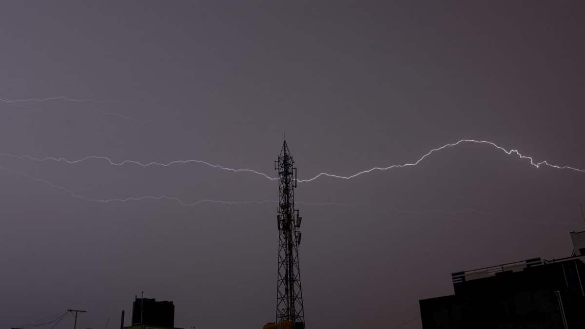
Forecasters had flagged the potential for heavy rain across parts of the Southwest. What arrived was not a gentle soaking. Cells trained over the same ridges and valleys, dumping water into basins that drain toward towns, highways, and the thin ribbons of pavement that connect remote communities. In places, hail and strong wind came with the rain. At least one tornado was reported as the storms crossed the region, an uncommon but not impossible companion to a vigorous autumn system over complex terrain.
Where the water chose to go

Flooding here rarely looks like a river calmly overtopping a levee. It looks like an arroyo that was empty at supper and impassable by midnight. It looks like a culvert coughing mud onto a two lane road. It looks like a parking lot becoming a shallow lake because the drain at the low end cannot keep up. Four Corners flooding tends to be local, fast, and uneven. One neighborhood can be stranded while a ridge a mile away stays merely wet.
That unevenness is the hazard. People underestimate a dip in the road because they drove it dry a hundred times. They underestimate a wash because the sky above their own roof has already cleared. Water arriving from upstream does not need rain overhead. It needs slope, and this country has slope in abundance.
New Mexico after the rain
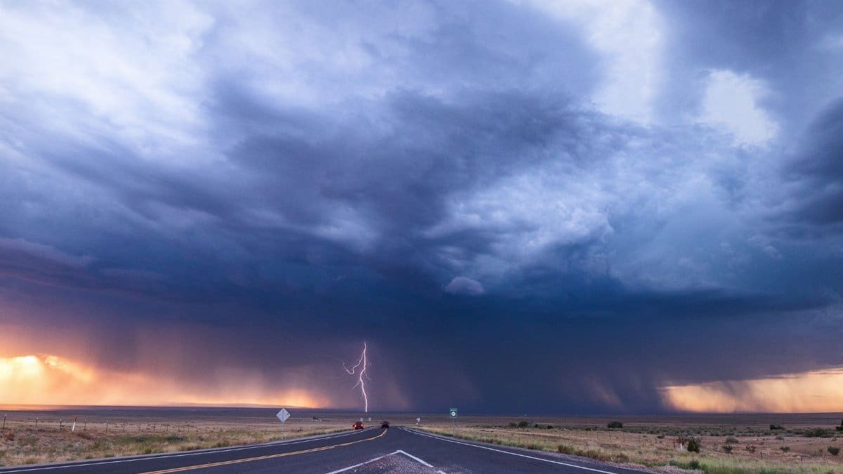
In New Mexico, crews spent the morning and afternoon checking roads, bridges, and drainage structures. The work is unglamorous and necessary. A crossing that looks intact from a truck window may be scoured underneath. Shoulders can slump. Debris can jam a culvert and send the next pulse of water sideways into yards and fields. Officials asked drivers to treat standing water as a closed road, not a puzzle to solve. In flood country, the first mistake is often the belief that you can see the bottom.
Assessment is also a kind of listening. Crews talk to residents about when the water rose, how high it reached on a fence post, whether a familiar cottonwood is now leaning. Those details fill gaps that gauges cannot cover in sparse terrain. They also tell emergency managers where to send the next truck, and where to keep people out until daylight and heavy equipment can do a proper look.
The tornado in a landscape of distance
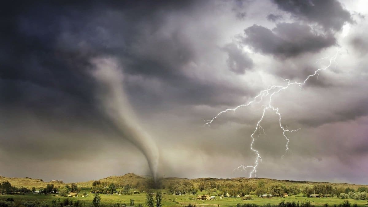
A tornado in the Four Corners does not announce itself the way one might on open prairie near a dense town. Distance swallows sound. Mesas break the view. A funnel or a debris signature can be miles from the nearest person with a clear line of sight. Confirmation takes time: a spotter, a radar couplet, damage on the ground, sometimes all three before anyone speaks with confidence.
What residents described was a storm that felt wrong for the season, with wind that arrived in a shove rather than a breeze, and rain that dropped the visibility to the length of a driveway. Whether every account maps to the same circulation is a question for survey teams. What is already clear is that severe weather and flooding arrived together, which complicates the response. People sheltering from wind are not always in the safest place once water starts to move. A low room can be the wrong room if the lot drains toward it.
Roads as the first story
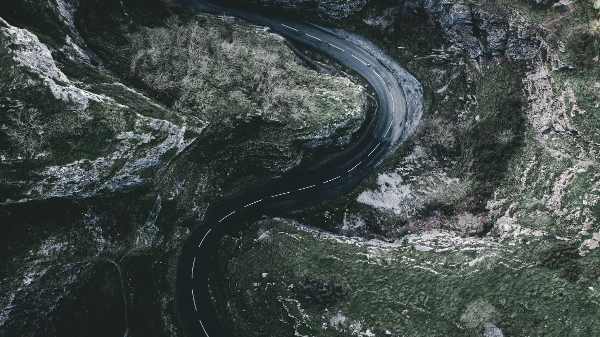
In this region the road network is the story people feel first. Closures do not merely inconvenience commuters. They separate clinics from patients, schools from families, and ranches from the feed and fuel that keep animals alive. A flooded low spot on a state highway can add hours to a trip that was never short. Tribal and rural communities, spread across large distances, feel that arithmetic immediately.
Transportation crews look for more than standing water. They look for undercutting, for pavement that sounds hollow, for guardrails with nothing firm beneath them. Until those checks are done, a reopened lane can be a guess. The safer public message, repeated after nearly every desert flood, remains the same: turn around, do not try to measure depth with your tires, and do not follow the vehicle ahead simply because it made it through.
Why this corner floods when it floods
The Four Corners sits at a crossroads of climate influences. Summer moisture from the south can surge north along the spine of the Rockies and the high plateaus. Pacific systems can arrive from the west with colder air aloft. When those ingredients overlap, or when a strong autumn storm taps leftover moisture, rainfall rates can exceed what the sparse soil and rock can absorb. Burn scars from previous wildfires make the problem worse. Hillsides stripped of vegetation shed water and ash in thick slurries that behave more like wet concrete than rain.
Topography does the rest. Narrow canyons concentrate flow. Alluvial fans spread it suddenly across roads that engineers placed, decades ago, along the only practical grade. Many drainages are ephemeral by design of the climate. They are not failures of the landscape. They are the landscape doing what it has always done, only now with more pavement, more homes at the edge of washes, and more people who need those roads to remain passable.
What people on the ground already know
Longtime residents keep informal flood memory in practical form. They know which cattle guard disappears first. They know the neighbor who will check on an elder if cell service drops. They know that a clear sunset does not cancel a watch if storms are regenerating upstream. That local knowledge is not a substitute for warnings from the National Weather Service, which posts watches, warnings, and flood statements through weather.gov and local forecast offices. It is a complement, the kind of attention that turns a general warning into a specific decision about whether to move a vehicle uphill.
Community networks matter most in the hours when official information is still catching up to the storm. A text from a cousin on higher ground can arrive before a road closure map updates. The risk is rumor traveling just as fast as fact. The discipline that helps is simple: share what you saw, say where and when you saw it, and do not upgrade a guess into a measurement.
Hazards that linger after the sky clears
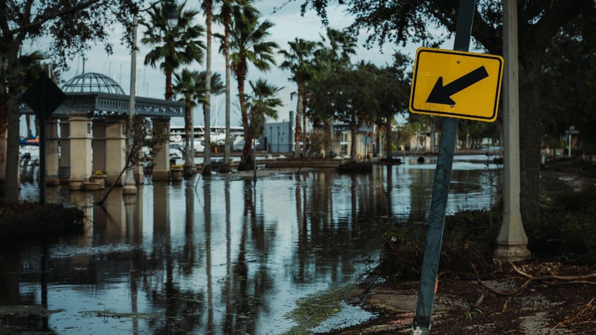
The dangerous part of Four Corners flooding is not confined to the peak of the rain. Water recedes and leaves slick mud, weakened banks, and debris that can shift underfoot. Contaminants from flooded yards, fuel cans, and septic systems can linger in puddles that children treat as novelty. Downed lines may be hidden at the edge of a wash. Animals displaced by the rise, including snakes, may be in unusual places once the sun returns.
Insurance and recovery questions follow quickly for anyone whose floor took on water. Documenting damage with photos, before cleanup scrubs away the water line, helps later conversations with adjusters and local emergency management. So does avoiding generators indoors and avoiding the temptation to restart soaked electrical equipment. Those are ordinary precautions, and they save people after the dramatic part of the storm is already on the evening news.
How agencies read a storm like this
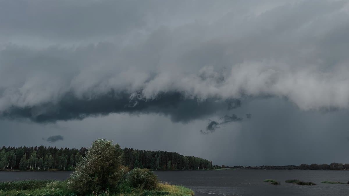
Meteorologists lean on radar, satellite, and a thin network of gauges and observers. In complex terrain, radar beams can overshoot valleys or be blocked by mesas, so rainfall estimates carry uncertainty. That is why ground reports matter, and why a single reliable measurement from a cooperative observer can reshape a warning polygon. Hydrologists then translate rain into expected flow, using models that know something about basin size, slope, and soil, and that still struggle when a storm sits over one canyon and spares the next.
The public product of all that work is a set of plain instructions: where flooding is happening or expected, which roads are implicated if known, and how long the threat may last. The private product, inside emergency operations centers, is a running list of what has not yet been checked. After a night like this one, that list is the real measure of the morning.
A region that keeps negotiating with water
There is a spiritual habit, if that is the word, in paying attention to a place this stark. People here talk about rain as blessing and threat in the same breath, because both descriptions have been true within a single season, sometimes within a single day. The land does not offer a gentle middle very often. It offers scarcity, then excess, then the work of putting things back.
Four Corners flooding on October 25, 2026, fits that older rhythm even as the details belong to this storm: heavy rain, at least one tornado, and crews in New Mexico walking the edges of damage they cannot yet fully name. The forecast will update. Some closures will lift. Others will reveal worse news once the water drops and the underside of a bridge becomes visible. What will not change by tomorrow is the advice that has outlasted every system to cross these plateaus. Respect the wash. Respect the road you cannot see through. And treat a dry country, after a hard rain, as a country that is still in motion.