

October arrives on the Texas coast with a quieter kind of attention. Screens that once refreshed every hour now sit still. The water looks the same, yet the calendar has changed the odds. Forecasters have long treated the first days of October as the practical close of the state’s most dangerous stretch, a pattern summed up in the phrase Texas hurricane season shift. Records show only 10 named storms have struck Texas after Oct. 1, and none after the middle of the month. That does not mean the sky is finished with the Gulf. It means the window that once dominated late summer has largely swung shut, and residents are learning what that quieter arithmetic actually buys them.
What the historical record actually shows

The number that anchors this conversation is small enough to memorize. In the modern record of named storms, only 10 have made landfall in Texas after the first day of October, according to a compilation published by the Houston Chronicle. None arrived after the middle of the month. Most Texas landfalls cluster from August into September, when the Atlantic is warmest and steering currents more often bend storms toward the western Gulf. October does not erase the basin. It thins the list. Residents who spent weeks refreshing cones of uncertainty hear that thinning as relief, and they are not wrong. They are wrong only if they treat a short list as a closed door.
Why the Gulf cools its chances
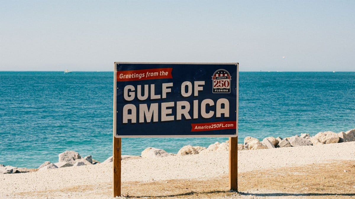
Ocean heat is the fuel, and by October that fuel is no longer arranged the way it was in August. Surface temperatures in the Gulf often remain high enough to support a storm, yet the deeper warmth that lets a cyclone intensify near shore tends to fade as nights lengthen and cold fronts march south. Wind shear, the change in wind with height, becomes a more frequent visitor and can tear a developing system apart. The Texas hurricane season shift is less a switch than a changing balance among these forces. Warm water still sits offshore. Hostile winds show up more often. The coast can still flood from a stalled front while becoming far less likely to meet a named hurricane at the beach.
Storms that still found Texas

History keeps exceptions in plain view so statistics do not become folklore. Late storms have brushed or struck the upper coast, sometimes as weakening systems, sometimes with enough wind and surge to matter. Hurricane Jerry in 1989 is the name many Galveston area residents still attach to an October landfall, a compact storm that arrived when people had started to exhale. Other October systems are remembered more for rain than for an eye, soaking basins already full from September. The point of naming them is not to reopen panic. It is to show what rare looks like: shorter public attention, and impacts that can still be severe in a small area. A thin record is still a record.
How coastal cities read the calendar
In Houston, Galveston, Corpus Christi, and the towns between them, the first of October functions as a civic mood change. Emergency managers do not pack away the plans. They lower the volume. Press briefings thin out. Hardware stores see fewer sudden runs on plywood. Schools that rehearsed dismissal routes return to ordinary weeks with less glancing at the sky. That social change tracks the Texas hurricane season shift even when no official uses the phrase. People are pattern readers. They have watched September deliver the famous names and October deliver festival weekends and the first honest cold front. City governments still keep debris and shelter contracts through the official Atlantic season, which runs to the end of November. The public has often moved on. That gap is where complacency hides.
What insurers and schools still watch

The calendar that comforts a household can look different on a balance sheet. Insurers price wind and flood with long histories, not with the feeling that October has arrived. A quiet start to the month does not rewrite a policy or refill a reserve after a hard September. School districts keep transportation plans active because one late system, or a slow rain with no name, can still close campuses. Local emergency offices still offer plain advice: know the evacuation zone, keep documents dry, and do not treat falling seasonal risk as zero risk this week. The National Hurricane Center monitors the Atlantic through November, and its climatology pages show why the peak sits earlier than the official end. Attention can narrow. Preparation does not have to vanish.
Rain that does not need a name

The more ordinary October hazard is water without a headline. Cold fronts stall. Gulf moisture rides over them. Rain falls on watersheds that spent August and September near capacity. Bayous in the Houston region, rivers near Beaumont, and low coastal prairies do not ask whether a storm earned a name. They ask whether the ground can take more. A month that looks merciful on a hurricane chart can still flood intersections. The move away from named landfalls should not be confused with a move away from heavy rain. National Weather Service offices, including the Houston Galveston office, keep flash flood messaging active after the famous stretch fades. Residents who store the plywood can keep the radio habit.
Water still holds heat

Fishermen and ship crews notice what a land calendar misses. The Gulf in early October can still feel like summer at the surface. A tropical wave can spin up far from Texas and curve toward Florida or the open Atlantic, a reminder that the basin is not finished. Texas sits at the far western edge, where a storm must travel a long path against rising odds of shear and frontal disruption. That geography helps explain the short late list. It also explains why a system that threads the needle can surprise people who watched several October disturbances die offshore. Energy remains. The route to this coast becomes harder. Both facts belong in any honest account of the month.
A season that ends in stages

The Atlantic hurricane season does not close when Texas stops bracing. It runs through November 30, a date set for the whole basin rather than for one state. Florida and the Caribbean hold their own late histories, including storms that intensified in October while Texas looked inland. Treating the Texas experience as the national one would be a mistake. Treating the national calendar as if every Texas week carried equal force would be another. The useful picture is staged. August and September carry the weight. Early October is a taper. The rest of autumn is a watch kept by professionals more than by the general public. That staging is what people mean by a Texas hurricane season shift: ocean heat, wind, and geography, not a slogan on a poster.
Living with a narrower window

None of this is a reason to declare the danger finished. It is a reason to match effort to odds without forgetting exceptions. Families can plan October trips with more confidence than in early September, and they can still check the forecast the morning they leave. Neighborhood groups that spent weeks on storm messaging can turn some of that energy toward flood insurance, home elevation, and recovery from whatever September left behind. The emotional release is real. So is the unfinished business of a coast that floods in more than one way. If the next decade keeps the pattern, the short October list will remain a civic comfort. If a warmer Gulf writes a new exception, that comfort will have to be rewritten. Until then, the honest line is modest: the window largely closes as October starts, and largely is the word that keeps the sentence true.