
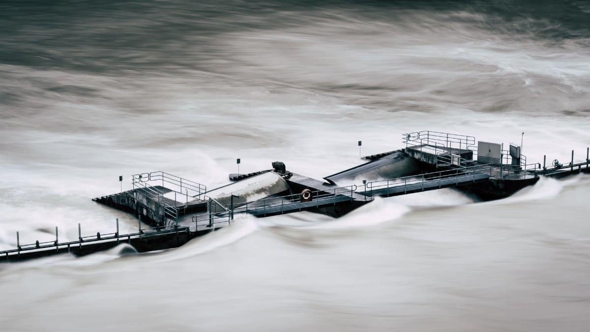
By late afternoon the sky over downtown Dallas had the color of wet concrete, and the first hard rain arrived in sheets that turned side streets into shallow rivers within minutes. Office workers paused under awnings. A bus hissed to a stop and sent a fan of water across the curb. None of this was unusual for a warm season storm, yet the language from forecasters carried a sharper edge than a routine shower. A North Texas flood watch was in effect into Friday morning, a signal that heavy rain could overwhelm creeks, underpasses, and low ground before the workweek ended.
What a flood watch actually tells you
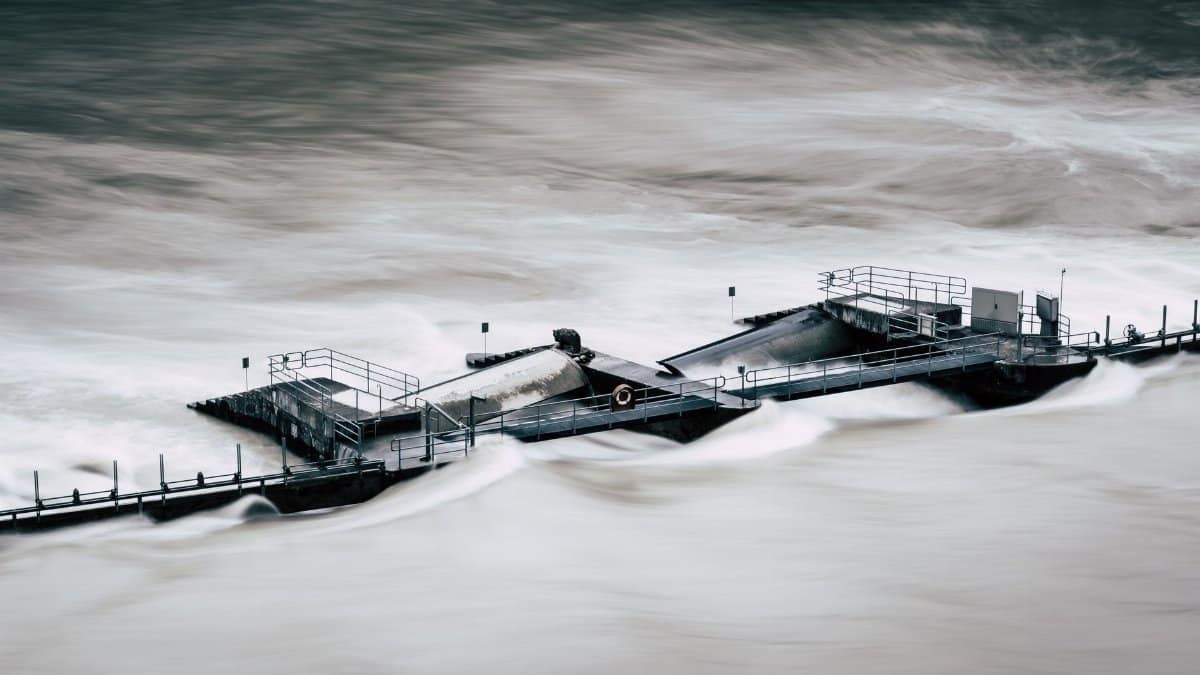
A watch is not a guarantee of disaster. It is a window of elevated risk. Meteorologists issue it when conditions favor flooding, even if the worst rain has not yet arrived over every neighborhood. The distinction matters. A warning means flooding is happening or is imminent. A watch means people should pay attention, adjust plans, and know where water tends to collect near home and work.
The National Weather Service office in Fort Worth, which covers much of the region, explains watches and warnings on its public pages at weather.gov/fwd. The practical message is simple. Do not wait for water in the street to decide whether the forecast applies to you. Urban flooding often begins on a single block while the sky a mile away still looks manageable.
Residents who treat every alert as background noise eventually miss the one that matters. Residents who panic at every cloud learn nothing useful either. The middle path is preparation without theater.
How much rain forecasters expect
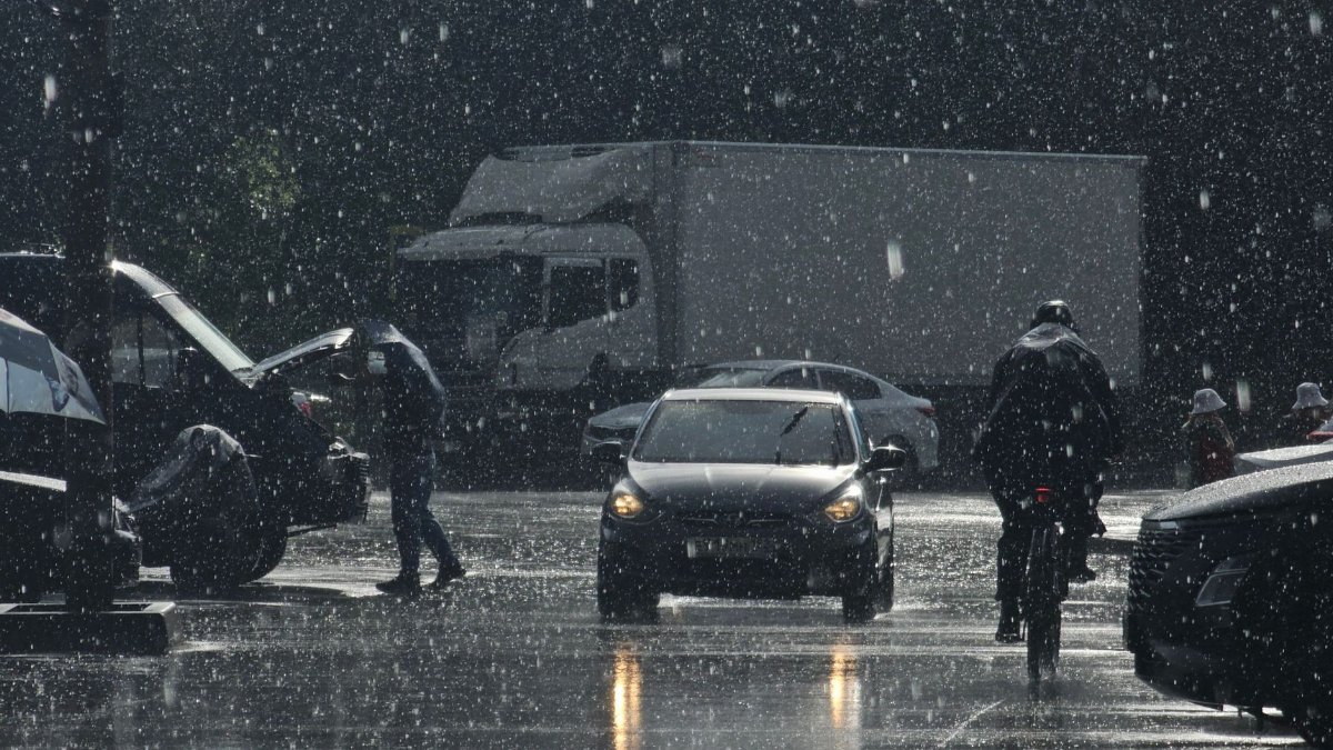
Forecasters expect a broad soaking of 2 to 4 inches, with local totals up to 7 inches, through early Friday. Those higher pockets are the problem. A region can absorb a steady inch. It struggles when a training line of storms dumps several inches on the same watershed in a few hours.
Training is the term meteorologists use when cells move over the same ground again and again, like cars on a loop. Radar can show the pattern before street gauges catch up. By then, small creeks that looked sleepy at dusk may be out of their banks before dawn.
Totals will not be even. One suburb may record a modest rain while a neighboring city logs a deluge. That unevenness is why a regional watch can feel exaggerated to someone whose yard stays dry and painfully accurate to someone whose car stalls at a dip in the road.
Where the water usually goes first
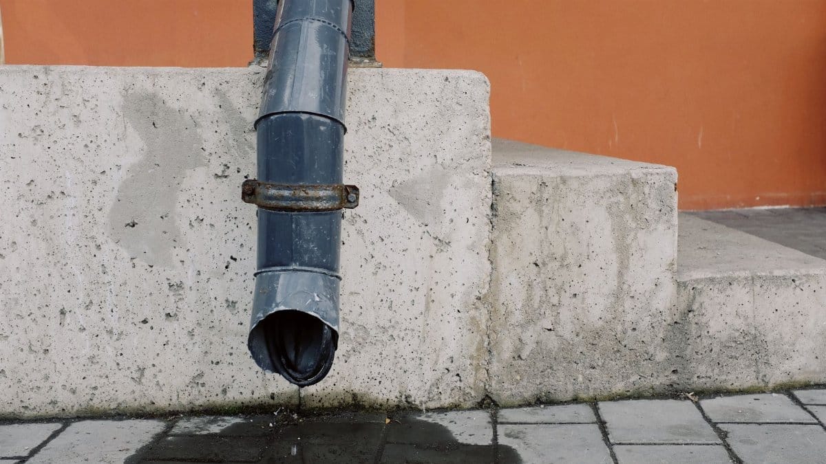
North Texas does not need a river flood to become dangerous. Concrete does much of the work. Parking lots, rooftops, and wide arterials shed rain faster than soil can take it. Water races toward underpasses, construction zones, and the low crossings that drivers know by habit and still misjudge at night.
The Trinity and its tributaries set the larger stage, but the first trouble is often local. A clogged inlet, a construction barrier, a saturated lawn above a slope. County emergency managers repeat the same lesson after every serious storm. Most deaths in flash floods involve vehicles. The depth that looks crossable from the driver seat can lift a car once the current takes hold.
If a road is closed, it is closed for a reason that may not be visible from the last open lane. Detours are inconvenient. They are also the point of the alert.
The commute and the hours before Friday
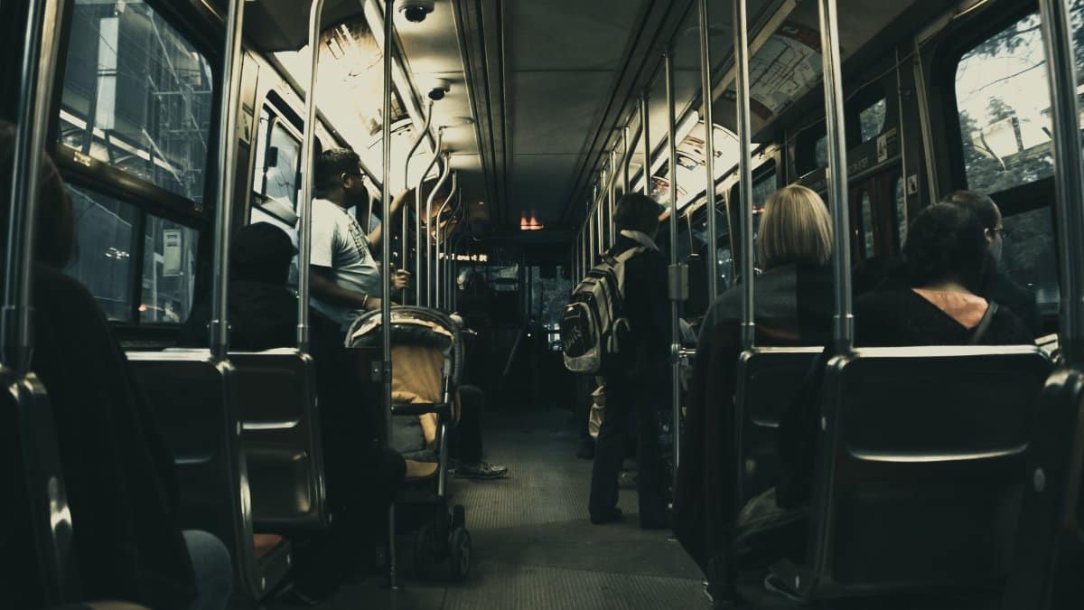
The timing cuts across the rhythms of a workweek. Evening plans, overnight shifts, school drop offs, and the early drive all sit inside the watch period. Employers who can shift start times or allow remote work reduce the number of people forced onto wet roads at the worst hour. Not every job allows that. Hospitals, warehouses, restaurants, and transit still need people on site.
Parents should check district messages before assuming a normal morning. Sports practices and evening gatherings are the first activities to move or cancel when lightning and standing water arrive together. A cleared radar at dinner does not promise a clear drive at 10 p.m. Storms in this pattern can redevelop after a lull.
Keep a full tank if you must travel, and a charged phone. Tell someone your route. These are small acts. They matter more than another scroll through a radar app in a parking lot.
Reading the North Texas flood watch without guessing
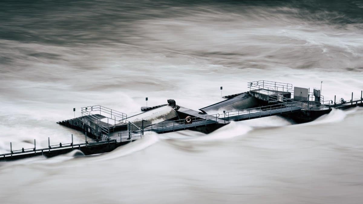
The North Texas flood watch is a regional statement, not a street by street prophecy. It covers a wide area because the ingredients for heavy rain, moist air, lift, and slow storm motion, can line up in more than one county on the same night. Local forecasts still deserve a second look. A county that sits on the edge of the watch may see less rain than the core, or it may catch the last intense band.
Good information has a source and a time stamp. The weather service, local emergency management, and city street alerts outperform anonymous posts that recycle last year’s photos. If a creek gauge or road sensor is available for your route, use it. If it is not, assume the dip you remember from a previous storm is still the dip to avoid.
Skepticism is healthy when a forecast is vague. It is less useful when the stated range already includes the kind of local maximum that floods garages. Up to 7 inches is not a slogan. It is a ceiling that some neighborhoods may approach even if most do not.
What to do at home before the heaviest rain
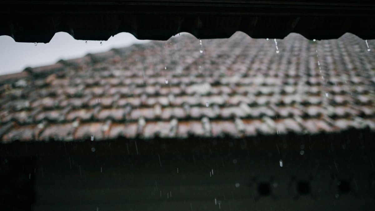
Move vehicles out of low lots if you have a choice. Clear leaves from drains you can reach safely. Bring in anything that can block a storm inlet or become debris in a current. Check sump pumps and know where water enters the house in a hard rain. If you live in a basement apartment or a ground floor unit beside a slope, identify a higher room and a way to leave before water reaches the door.
Do not walk through moving water to save a bin or a lawn chair. The same rule that applies to cars applies to people on foot. Six inches of fast water can knock an adult down. The current hides openings, curbs, and missing manhole covers.
Charge devices, set alerts to a volume you will hear overnight, and place flashlights where you can find them without crossing a dark room. If you rely on medical equipment, know your backup plan if power flickers. Utilities in this region are practiced at storm response. They are not magic.
Neighbors, congregations, and quiet logistics
Weather stories often stop at the radar. The human layer is logistics. In many North Texas neighborhoods, the first organized help is not a press conference. It is a church hall, a mosque kitchen, a synagogue volunteer list, or a temple group text that already knows who lives alone and who cannot drive at night.
I have sat through enough of these watches to notice the pattern. The communities that fare better are not the ones with the most dramatic language. They are the ones that decided, on a dry day, who checks on the elder at the end of the block and who has a truck that can move a generator. Faith groups do this work without needing the storm to become a sermon. A spare cot and a pot of soup are theology enough when the power is out and the creek is up.
City services remain essential. They also have limits on the first night. Informal networks fill gaps that a dispatch center cannot see: a medication pickup, a ride around a closed underpass, a dry place for a family whose carpet is already wet. That is not a substitute for official rescue. It is the ordinary civic muscle that makes an alert survivable.
Roads, creeks, and the decisions drivers keep getting wrong
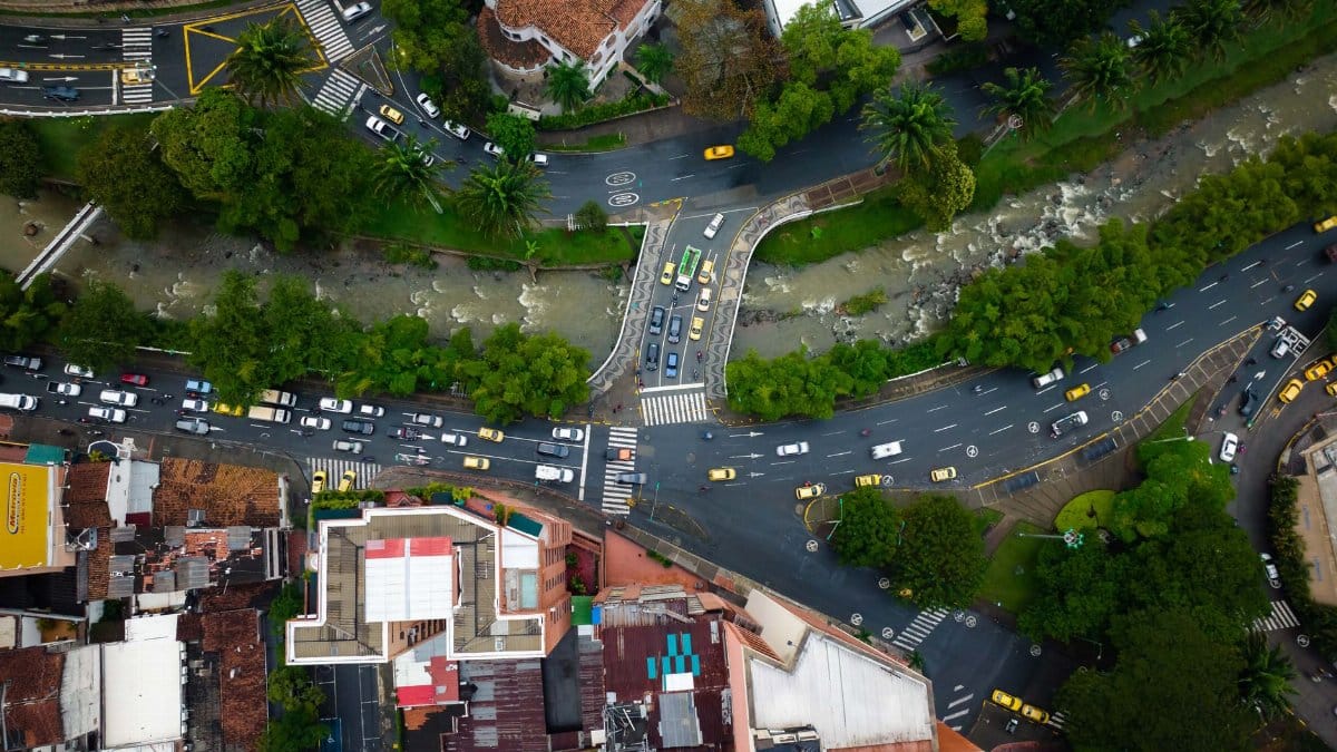
Every serious flood in this part of the state produces the same images. A truck nosed into a dip. Hazard lights blinking above brown water. Someone filming from the shoulder as if the current were a spectacle rather than a force. The advice from public safety officials has not changed because the physics has not changed. Turn around. Find another route. The meeting can wait.
Night multiplies the error. Headlights flatten the surface. A flooded lane can look like wet pavement until the wheels leave the road. If you hydroplane or stall, staying with the vehicle is not always the right choice, and leaving it is not always safe either. The better choice is not entering the water. That decision happens a block earlier, when the road ahead disappears and pride argues for one more try.
Commercial drivers face tighter schedules and heavier vehicles. Weight does not grant immunity. A loaded truck can still be swept if the roadway is undermined. Dispatchers who penalize a late arrival more than a refused crossing are writing the next accident report in advance.
How cities drain, and where the system fails
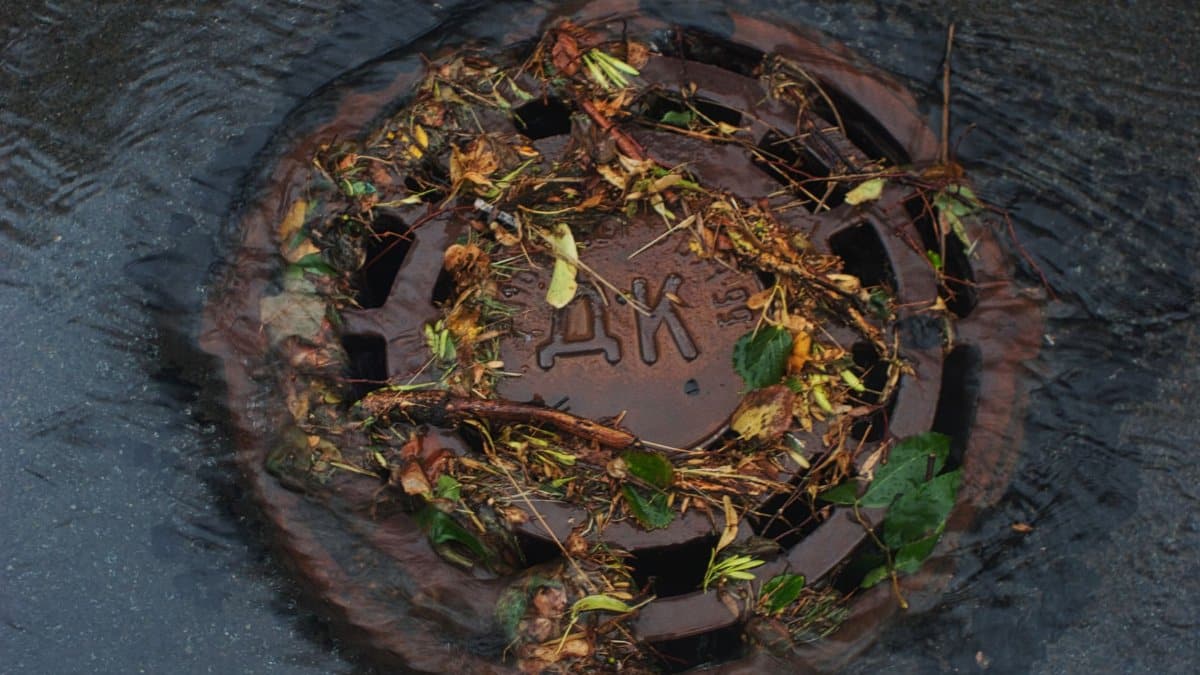
Storm drains in older neighborhoods were built for a different map of pavement and a different idea of a heavy rain. New subdivisions add roofs and driveways faster than channels can be widened. When several inches fall in a short window, even a maintained system reaches capacity. Water then follows gravity through yards, alleys, and the paths engineers call sheet flow.
Maintenance matters. Inlets packed with litter fail early. So do channels narrowed by dumped brush. Residents can report blockages before the storm, not during the peak, when crews are already stretched. Construction sites that lack proper barriers send mud into streets and reduce the depth a driver can read.
None of this cancels the forecast. It explains why two houses on the same street can have different nights. Elevation, inlet condition, and what the neighbor upstream did with a fence line all show up in the waterline on the drywall.
Friday morning and what should change the plan

The watch runs into Friday morning because the rain is not expected to end with a clean sunset. Overnight redevelopment is the scenario that catches people who went to bed under a quiet radar. By the time alarms sound, some low crossings may already be impassable. Check conditions before you leave, not after you are in the line of traffic that has nowhere to turn.
If rain rates ease and creeks fall through the morning, the practical risk declines even if standing water lingers in poor drainage spots. If a final band arrives near dawn, the commute becomes the most exposed part of the event. Schools and employers should say so early, in plain language, rather than hoping everyone refreshes the same app.
A North Texas flood watch that expires on schedule is still a success if people used it. The absence of a dramatic rescue on the news does not mean the alert was wasted. It often means the water stayed out of the cars that stayed out of the water.
What officials can say, and what they cannot

Forecasters can describe the range. They cannot name the exact intersection that will take the highest total. Emergency managers can close roads they know. They cannot station a barricade on every dip before the first drop falls. That gap is not a failure of will. It is the limit of a storm that organizes on a scale of miles and floods on a scale of blocks.
The useful public message stays narrow. Know your low spots. Do not drive into floodwater. Move what you can move before dark. Help the neighbor who will not see the alert. Those lines do not trend as well as a radar loop, and they save more lives than another adjective in a headline.
For official updates as the rain evolves, the Fort Worth weather service office remains the anchor, alongside city and county emergency channels. Secondary commentary is fine once those sources are in hand. It is a poor substitute for them.
After the water drops

When the watch ends, the work does not. Wet drywall, contaminated carpets, and stalled vehicles create a second day of cost that never appears in the rainfall total. Document damage before you discard ruined belongings if you may file a claim. Avoid wading in water that may carry sewage or hidden debris. If a power line is down, treat it as live.
Children treat puddles as play. After a flood, those puddles are not the same as a summer splash. Keep them back until the street is truly clear. The same caution applies to pets.
Then look at what the storm revealed. A drain that failed, a route that always floods, a household that had no way to hear an alert overnight. Fixing those details on a clear afternoon is the only preparation that does not depend on perfect timing. The next North Texas flood watch will not ask whether you found the last one interesting. It will ask whether you changed anything.