
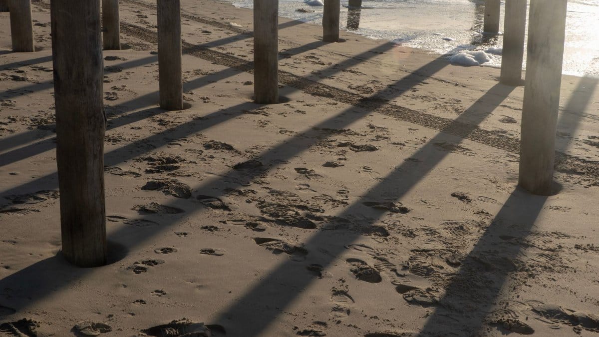
On a gray Thursday the tide came in higher than the chalk marks on the seawall, and the missing sand made the water look closer than it had any right to be. Residents along the Long Beach peninsula stood with coffee and phones, watching a horizon that no longer had the buffer they remembered from ordinary summers. The phrase moving through group texts was Long Beach Hurricane Polo, a distant storm whose swell was expected to arrive as nine foot waves on already high tides. Marie had come through days earlier and stripped sand from the beach face, leaving the boardwalk exposed in places where summer crowds once walked barefoot. What remained was a thinner margin between ordinary surf and a street that floods when the Pacific decides to lean inland.
The beach Marie left behind
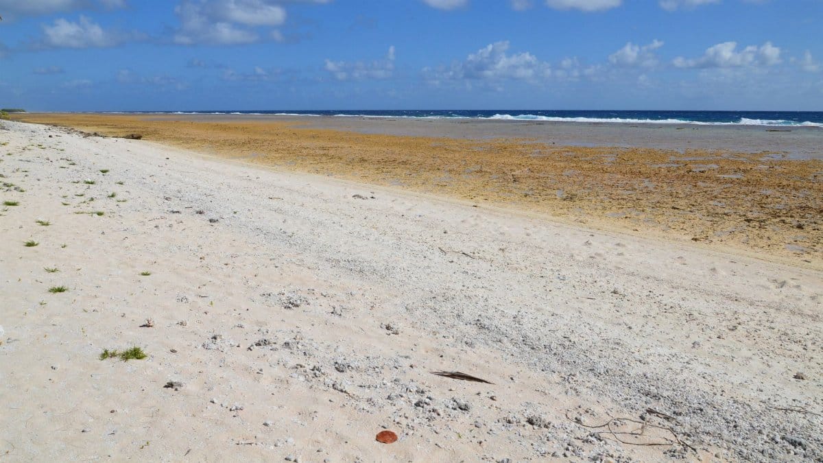
Walk the peninsula after Marie and the change is not subtle. Where August held a wide apron of dry sand, September shows a steeper face and a wet line that reaches the concrete sooner. Lifeguard towers sit closer to the wash. Stairways that once ended in soft footing now drop toward cobble and foam. Neighbors point at pilings that used to disappear under a dune and now stand in the open like furniture left outside overnight.
City crews had already begun talking about emergency sand placement, but barges and permits do not move at the speed of a tide table. The loss is visible to anyone who knows this beach by habit rather than by map. A visitor might still call it pretty. A resident counts the steps from the last dry patch to the nearest doorway and does not like the new total.
Why missing sand changes everything
Sand is not scenery. It is the first absorber, a sloping mass that spends wave energy before water can climb a wall or find a gap under a boardwalk. Take enough of it away and the same swell that once died on the beach face arrives with more of its height intact. Engineers describe this in models. Residents describe it as the moment a familiar wave suddenly has a street address.
After Marie, that translation felt immediate. A modest high tide, stacked on a long period swell, could push water through low spots that had been dry for years. The peninsula is narrow. There is not much land between the sand and the bay side, and water that crosses one can complicate the other. Alleys become connectors. Garage floors become gauges. The beach, reduced, stops doing quiet work that most people never noticed until it stopped.
A forecast that felt personal
The numbers that circulated were plain enough to memorize. Nine foot waves. High tides. A window measured in hours rather than days. For people who live above garages full of bicycles and stored holiday boxes, those figures were not abstract. They were questions about whether to move the car, whether the sump pump would keep up, whether the alley would become a canal again.
I walked one block near the west end and heard the same calculation repeated in different kitchens. If Marie took the sand, the worry filed under Long Beach Hurricane Polo does not need a direct hit to matter. Distance on a tracking map is a poor comfort when the ocean is already at the curb on a clear afternoon. People compared screenshots the way other households compare recipes, arguing over arrival times and whether the evening tide or the morning one would be the meaner guest.
The boardwalk and the people who use it
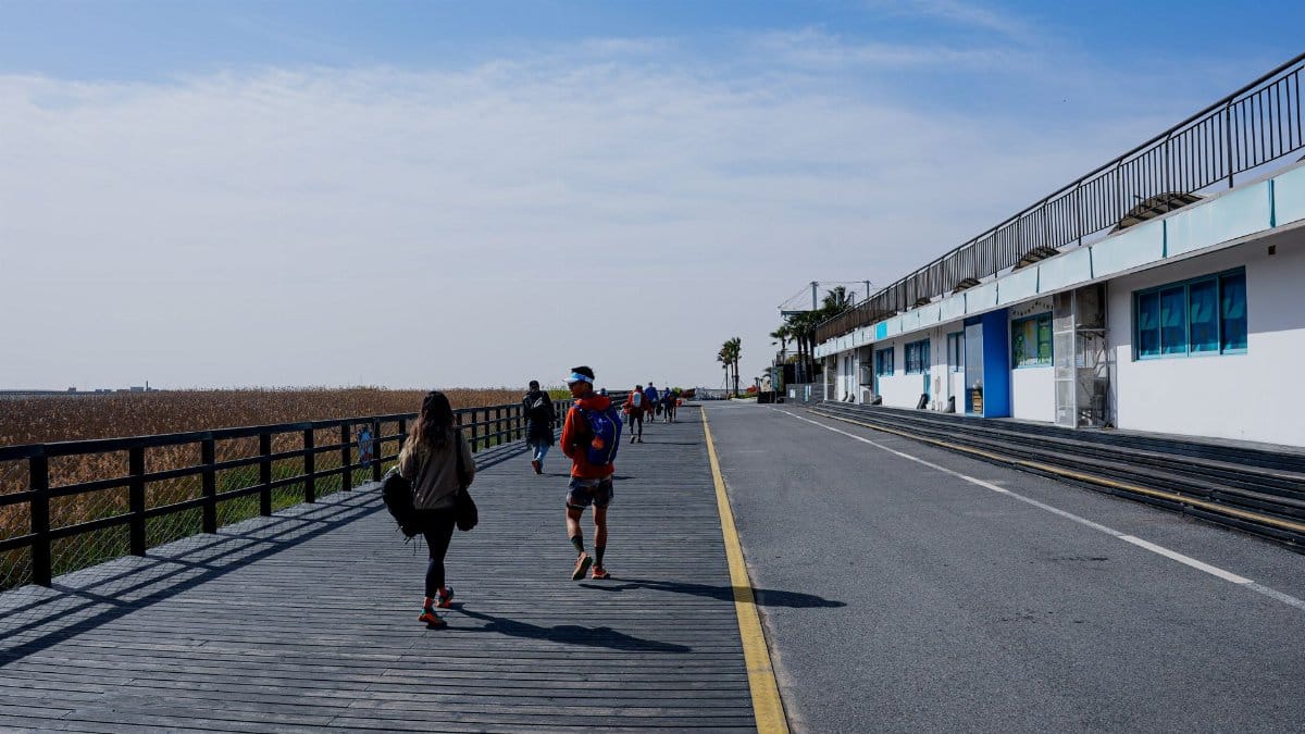
Marie did not only move sand. It damaged the peninsula boardwalk, the long concrete promenade that is commute, exercise loop, and front porch for thousands of people. Cracked sections, undermined edges, and closed stretches turned a simple walk into a detour. For older residents, that detour is not a minor inconvenience. It is the difference between a morning mile and staying inside.
Cafes that face the walk reported slower mornings. Parents rerouted strollers away from temporary fencing. Dog walkers invented new loops and complained, with affection, about the extra blocks. The damage also mattered for the coming swell, because a compromised edge is a place where water finds a new path. Repair crews worked in the gaps between tides, a schedule that felt both urgent and oddly polite, as if the ocean had granted office hours and expected the city to keep them.
How the city tried to buy time
Long Beach has practice with coastal emergencies, and practice is not the same as spare sand. Officials coordinated with lifeguards, public works, and emergency management. Sandbags appeared at fire stations. Temporary barriers went up at known low points. Messages asked people to stay off damaged walkways and to avoid driving through water, which hides open drains and failed pavement.
None of this restores a beach in a weekend. It reduces the chance that a predictable high tide becomes a chaotic night. Residents who have lived through earlier floods listened carefully and then did their own version of the plan: plastic bins on shelves, important papers in a backpack by the door, a neighbor phone number written on paper in case the group chat failed. The planning notes some block captains kept might as well have been labeled for Long Beach Hurricane Polo, even when the official briefing used calmer nouns.
Old storms and new arithmetic
People here keep storms the way other towns keep championship years. They remember which winter closed peninsula streets, which swell threw rocks onto the walk, which year the bay side and the ocean side seemed to negotiate a meeting in the middle. Those memories are useful and also misleading. A beach that has lost sand does not answer to the old calendar.
What was a nuisance tide can become a damaging one without any change in a storm category or a famous name. Higher baseline seas, a condition coastal cities now plan around, shrink the margin for error even when a particular cyclone stays far offshore. You do not need a landfall to inherit a problem. You need a path that aims energy at a shore already shortened. Veterans of earlier floods said the photos would look familiar. The depth, they warned, might not.
Property, insurance, and sleepless math

Flood insurance is a conversation people postpone until the water is in the photograph. After Marie, some owners pulled policies from drawers and discovered what was covered and what was described as maintenance, wear, or a condition of the coast that existed long before the claim. Deductibles and the difference between wind damage and flood damage turned dinner into paperwork.
Renters asked landlords about habitability if a boardwalk entrance flooded. Small landlords asked whether a temporary closure would be treated as an act of nature or as a repair they must fund alone. Shops counted inventory that sat at floor level because that is where retail lives. None of this is dramatic on television. It is the quiet cost of living on a spit of land that the ocean revisits, and of discovering, too late in the evening, which clause was written for someone else.
When a far storm becomes a local problem
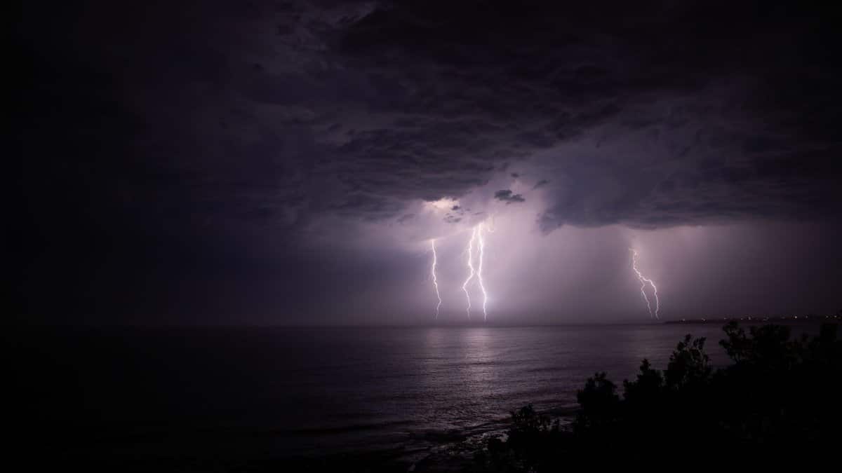
A hurricane can remain hundreds of miles away and still write the local forecast. Long period swells travel faster and farther than the wind field that made them. They arrive with a rhythm that stacks on the tide, and if the tide is already high, the combination is what matters. Rain may never fall on Ocean Boulevard. The hazard can still show up as white water at a stairwell.
That is the plain mechanics behind the name residents kept using. Long Beach Hurricane Polo was not, in the kitchens I passed, a scene of an eye over the port. It was a courier of energy aimed at a damaged beach. Mariners know this pattern. Surfers know it in their shoulders. City managers learn it again when the phone starts ringing before any cloud arrives, and when the questions are about curbs, not wind speed.
What officials asked of the peninsula
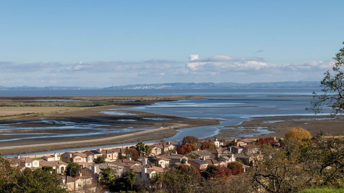
Stay off the jetty. Do not wade out for a photograph. Move vehicles from low streets before the peak tide, not during it. Check on older neighbors. Keep storm drains clear of leaves and of the sand Marie left in the gutters. Those instructions sound simple because they are meant to be followed when attention is scattered and when a good angle for a camera is tempting.
The harder ask was patience with closures. A damaged boardwalk is not a suggestion. It is a structure that can fail underfoot when wave impact finds a void. Officials also asked people to trust updated tide times rather than memory. Memory, on this peninsula, has been an unreliable contractor. It remembers the dramatic nights and forgets the ordinary high tides that did the real work of moving sand, grain by grain, until the beach no longer matched the story people told about it.
The bay side is not a separate story
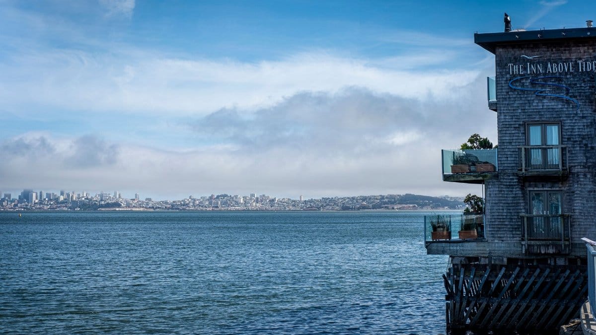
Focus gathers on the ocean face because that is where the waves announce themselves. The bay side has a quieter way of joining the event. Water pushed through the peninsula, or simply lifted by the same tide, can stall in marinas, creep across parking lots, and complicate the routes people use when they are trying to leave. A flood that looks like a beach problem at noon can look like a traffic problem by dusk.
Boat owners checked lines. Apartment managers on the inland edge of the strand walked their lowest units with flashlights even while the sun was up. The geography is a lesson in false separation. Two shores, one narrow piece of land, and a storm that does not need to choose between them. When sand is gone from the front, the back has fewer excuses.
After the highest water
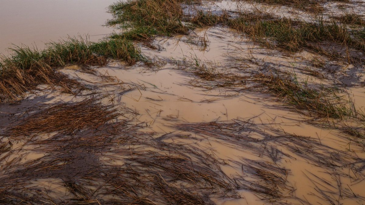
The test of a coastal city is not only the hour of peak water. It is the day after, when the photographs stop and the sand, if any returns, comes back unevenly. Some blocks dry by noon. Others hold a film of salt in garages and under porches. Pumps run. Arguments begin about who sweeps the public edge and who pays for the private one. Children are kept off the damaged walk even when the sky looks harmless again.
The question Long Beach Hurricane Polo leaves behind is whether emergency sand, boardwalk repair, and stricter habits around high tides can restore a margin Marie removed, or whether each new swell will find the peninsula a little easier to cross. I left the seawall as the light improved and the wash pulled back a few yards, not far enough to look like August. People were already sweeping. That, more than any forecast graphic, is how this place answers the ocean: with brooms, with arguments about insurance, and with a watchful quiet that lasts until the next name appears on the map.